Stony Creek
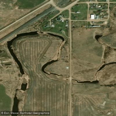
Stony Creek
- Boat Ramps
- 0
- Access Points
- 3
- Campsites
- 0
Stony Creek flows through Williams County in northwestern North Dakota, eventually joining Robinson Creek before reaching the Black River system. This small tributary originates in the glaciated plains characteristic of the region and maintains a modest flow regime dependent on snowmelt and seasonal precipitation patterns. The creek's most notable feature is its clear water flowing over exposed bedrock near Kelly Road, where white pines tower over banks blanketed with pine needles. However, downstream conditions change dramatically as excessive sand accumulation creates numerous logjams and obstructions. The creek's substrate transitions from raised bedrock to sand-dominated channels, with tree roots unable to grip the unstable shores, resulting in frequent deadfall across the main channel.
Paddling opportunities on Stony Creek itself are extremely limited. The only viable access point is at Kelly Road, where the creek crosses in Williams County. Upstream from this bridge, the creek is too small and congested for navigation. Downstream, the half-mile stretch to the mouth on Robinson Creek requires extensive portaging around logjams, making it unsuitable as a recommended water trail. Most paddlers use Stony Creek's Kelly Road access as a put-in for trips down Robinson Creek rather than paddling Stony Creek itself.
The creek contributes significant sediment to Robinson Creek, evidenced by the numerous sandbars and sandy substrate visible at their confluence. This sand load is originate from upstream erosion and the unstable banks characteristic of Stony Creek's lower reaches.
Wildlife observations along Stony Creek include white-tailed deer, beaver, and various waterfowl typical of northwestern North Dakota's riparian corridors. The white pine stands near Kelly Road represent some of the tallest specimens in the region, providing habitat for bald eagles and other raptors.
The Robinson Creek Preservation Association maintains a kiosk at the Kelly Road bridge, providing information about watershed conservation issues. The organization can be reached at 608.498.2888 or robinsoncreekpa@gmail.com for those interested in watershed protection efforts.
Access to Stony Creek is limited to the Kelly Road bridge crossing in Williams County. The nearest communities include Williston to the north and smaller rural settlements scattered throughout the county. No trespassing signs are posted near the bridge, restricting access to the Department of Transportation right-of-way.
For paddlers seeking quality water trail experiences in Williams County, Robinson Creek offers superior conditions compared to Stony Creek itself, with better flow characteristics and more consistent navigability despite its own challenges with deadfall in certain sections.
Water access, boat ramps & amenities
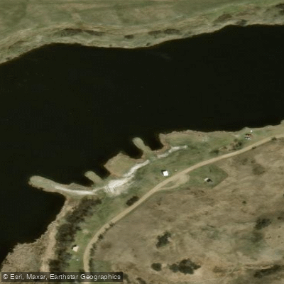
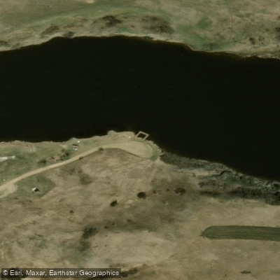
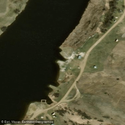
Learn how to get on Stony Creek. Uncover great paddling access points, boat ramps, and all the facilities you need for an unforgettable day on the water. Some locations shown may border or include private property. Always check property boundaries and applicable regulations before visiting. PaddleWays's Public & Private Land layer can help you plan your access with confidence.
Paddle smarter with real-time insights
Whether you're en route and conditions shift or you're looking for the best spot based on current flows, we enable you to make informed decisions on the fly.








Find Places to Paddle

Over 400,000 Places to Paddle
Every user gets free access to launch points, boat ramps, and public property parcels.


Water and weather conditions (10 day forecast)
See the best times to paddle Stony Creek and check the forecast before you go.
No forecast data available.
Paddling near Stony Creek
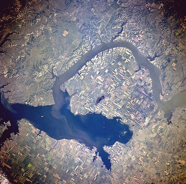
Lake Sakakawea

Missouri River
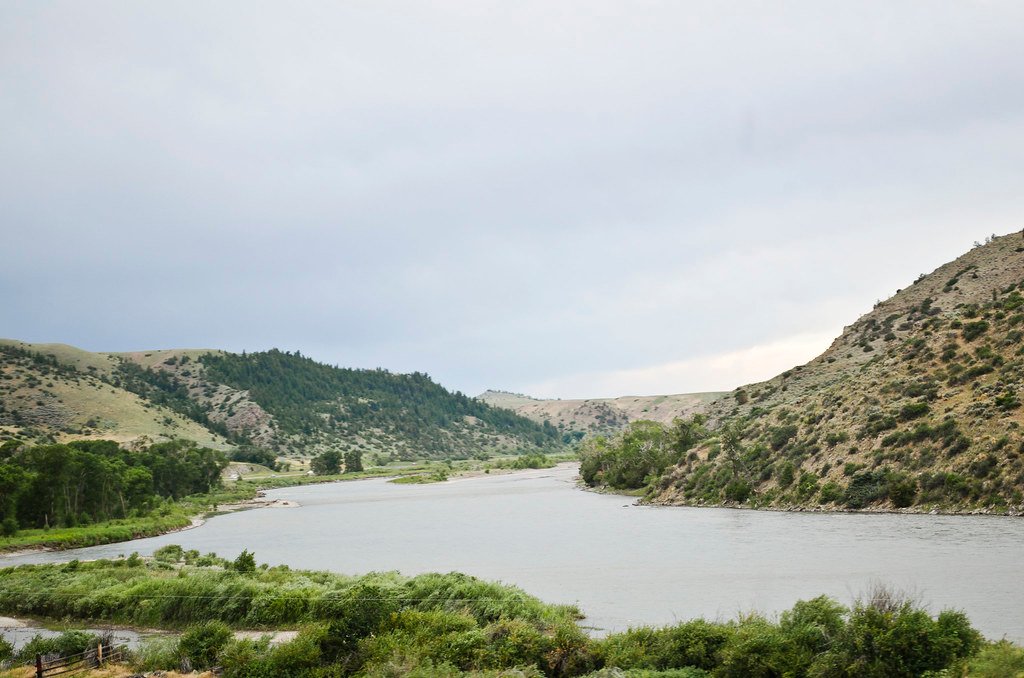
Yellowstone River
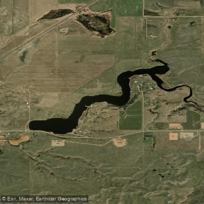
Epping Dam
Little Muddy River
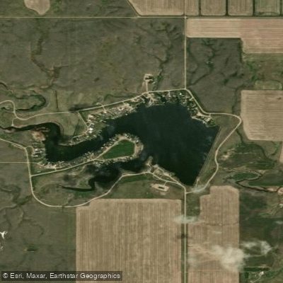
Blacktail Lake
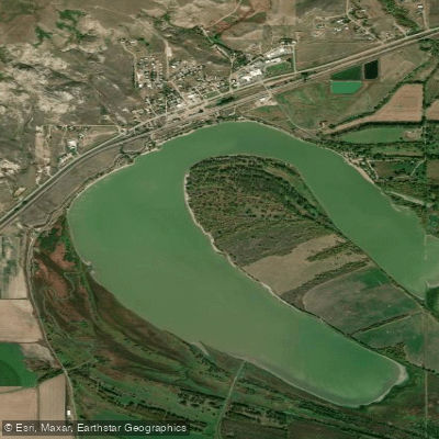
Lake Trenton

Cottonwood Lake
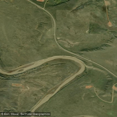
Little Missouri River
Explore North Dakota waters
Top paddling waters
Popular Cities
Loading popular cities...
Explore near Stony Creek
Access points
Nearby waters
More in North Dakota

Smarter Paddling Starts in the App.
Paddleways gives you everything you need to plan smarter, paddle better, and own every trip from first launch to takeout.