Square Butte Creek
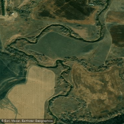
Square Butte Creek
- Boat Ramps
- 0
- Access Points
- 1
- Campsites
- 1
Square Butte Creek is a scenic waterway in central North Dakota, originating near the town of Center and flowing eastward to join the Missouri River above Bismarck. This prairie stream meanders through rolling hills and pastures, carving its path alongside distinctive square-shaped buttes that give the creek its name. The creek offers a unique paddling experience for flatwater enthusiasts, with its primary navigable section stretching approximately 20 miles from Nelson Lake to its confluence with the Missouri River. This gentle waterway is suitable for novice to intermediate paddlers, featuring calm waters that wind through a picturesque North Dakota landscape.
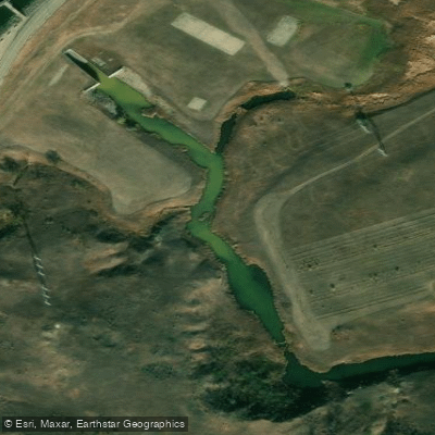
Paddlers can begin their journey at Nelson Lake Dam, located about four miles southeast of Center. The creek's course takes paddlers past the Square Butte Creek Golf Course, providing an interesting mix of natural and developed landscapes. As the creek progresses, it flows through a long, winding channel bordered by dense cattails, creating a serene paddling environment rich with wildlife viewing opportunities.
The best time to paddle Square Butte Creek is typically late spring through early fall, though water levels can fluctuate seasonally. Paddlers should check current conditions before embarking, as flow rates can affect the creek's navigability. Wildlife enthusiasts will appreciate the abundance of prairie fauna, including various bird species and possibly deer along the banks. The creek is also known for good bass fishing, particularly in the early morning hours.
Key landmarks include Nelson Lake, the Square Butte Creek Golf Course, and the distinctive square buttes that punctuate the horizon. These geological features provide a unique backdrop and orientation points for paddlers. Access points are limited, with the primary put-in at Nelson Lake Dam and take-out near the Missouri River confluence. The nearby town of Center serves as the main gateway to the creek, offering supplies and services for paddlers.
While Square Butte Creek doesn't have the same historical significance as the Missouri River, it plays an important role in the local ecosystem and offers a glimpse into North Dakota's prairie landscape. Safety considerations include checking water levels, being prepared for variable weather conditions, and carrying adequate supplies. There are no significant rapids, but paddlers should be aware of potential snags or fallen trees in the creek.
For those interested in a multi-day adventure, it's possible to combine a trip on Square Butte Creek with exploration of the Missouri River, creating a more extensive paddling experience through central North Dakota's waterways.
Water access, boat ramps & amenities
Learn how to get on Square Butte Creek. Uncover great paddling access points, boat ramps, and all the facilities you need for an unforgettable day on the water. Some locations shown may border or include private property. Always check property boundaries and applicable regulations before visiting. PaddleWays's Public & Private Land layer can help you plan your access with confidence.
Paddle smarter with real-time insights
Whether you're en route and conditions shift or you're looking for the best spot based on current flows, we enable you to make informed decisions on the fly.








Find Places to Paddle

Over 400,000 Places to Paddle
Every user gets free access to launch points, boat ramps, and public property parcels.


Water and weather conditions (10 day forecast)
See the best times to paddle Square Butte Creek and check the forecast before you go.
SQUARE BUTTE CREEK BELOW CENTER, ND
Paddling near Square Butte Creek

Missouri River
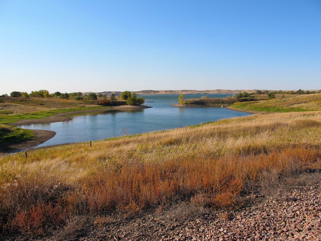
Lake Oahe
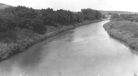
Heart River
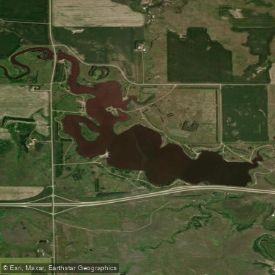
Sweet Briar Lake
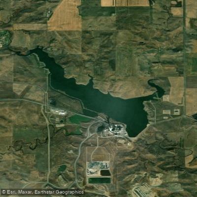
Nelson Lake
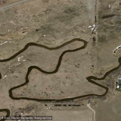
Apple Creek
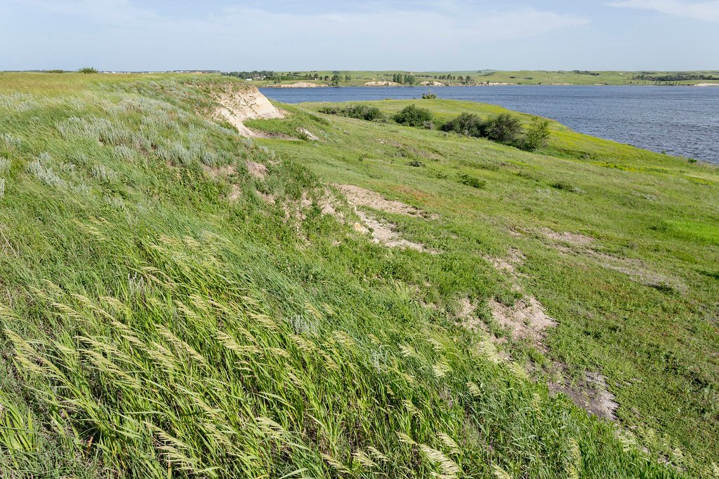
Lake Tschida
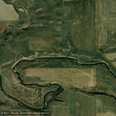
Cannonball River
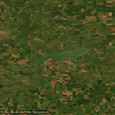
Long Lake
Explore North Dakota waters
Top paddling waters
Popular Cities
Loading popular cities...
Explore near Square Butte Creek
Access points
- Nelson Lake Access
- Square Butte Creek Bridge
- Square Butte Creek Bridge
- Square Butte Creek Bridge
- Square Butte Creek Bridge
- Square Butte Creek Bridge
- Square Butte Creek Bridge
- Square Butte Creek Bridge
- Square Butte Creek Bridge
- Square Butte Creek Bridge
- Square Butte Creek Bridge
- Square Butte Creek Bridge
- All 20 spots
Nearby waters
More in North Dakota

Smarter Paddling Starts in the App.
Paddleways gives you everything you need to plan smarter, paddle better, and own every trip from first launch to takeout.