Sweet Briar Lake
Sweet Briar Lake
- Boat Ramps
- 2
- Access Points
- 2
- Campsites
- 3
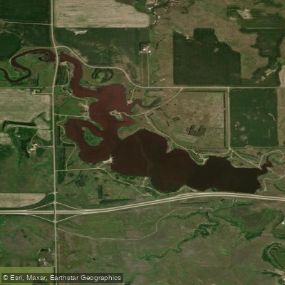
Sweet Briar Lake encompasses 252 acres with 10.5 miles of shoreline in Morton County, North Dakota. The lake averages 10 feet deep with a maximum depth of 30 feet. Two boat ramps with docks provide access points for paddlers, along with one floating fishing pier and six earthen fishing piers distributed around the shoreline.
The lake features a mix of prairie and wooded wetland areas along its perimeter, offering diverse views and wildlife watching opportunities. Migratory birds frequent the area, including pelicans, geese, ducks, cranes, and egrets during summer months. Deer can occasionally be spotted along the shoreline.
Basic amenities include six vault toilets, one large group picnic shelter, five standard picnic shelters, and potable water access. The eastern shore tends to offer better conditions with more stable ground, while the western areas can be muddy. The lake is generally uncrowded during weekdays but experiences increased activity on weekends, particularly from anglers.
The lake's proximity to Interstate 94 results in some background traffic noise, though many visitors report it's not intrusive. The wind can affect paddling conditions, as the lake sits in open prairie terrain.
Sweet Briar Lake is designated as a North Dakota Scenic Area. While primarily known for fishing, the lake's numerous coves and inlets provide interesting areas for paddlers to explore. The lake is managed by Morton County Parks and Recreation, with no specific restrictions on paddling noted.
For trip planning purposes, note that the lake is located 20 minutes west of Bismarck, accessible via I-94 Exit 134, making it convenient for supplies and services. The address is 3722 County Road 84, New Salem, ND.
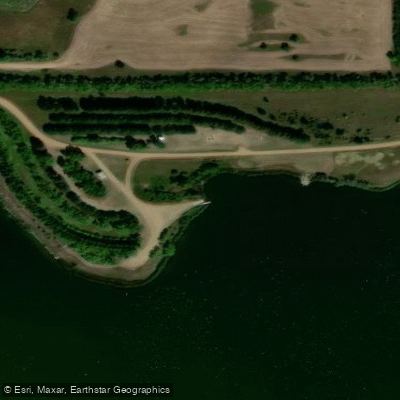
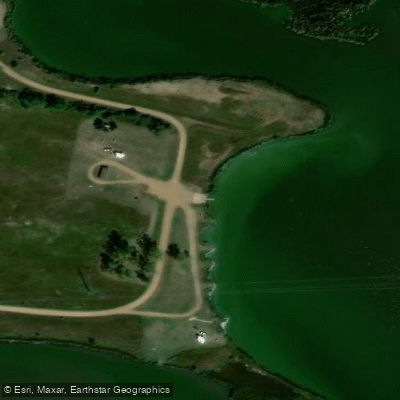
Water access, boat ramps & amenities
Learn how to get on Sweet Briar Lake. Uncover great paddling access points, boat ramps, and all the facilities you need for an unforgettable day on the water. Some locations shown may border or include private property. Always check property boundaries and applicable regulations before visiting. PaddleWays's Public & Private Land layer can help you plan your access with confidence.
Paddle smarter with real-time insights
Whether you're en route and conditions shift or you're looking for the best spot based on current flows, we enable you to make informed decisions on the fly.








Find Places to Paddle

Over 400,000 Places to Paddle
Every user gets free access to launch points, boat ramps, and public property parcels.


Water and weather conditions (10 day forecast)
See the best times to paddle Sweet Briar Lake and check the forecast before you go.
No forecast data available.
Paddling near Sweet Briar Lake

Missouri River
Lake Oahe
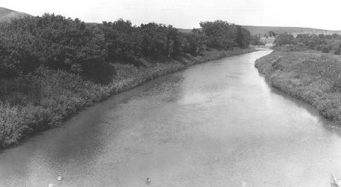
Heart River
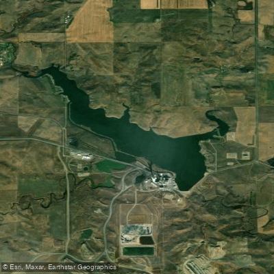
Nelson Lake
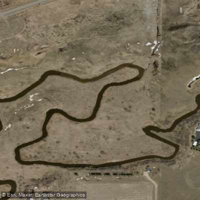
Apple Creek
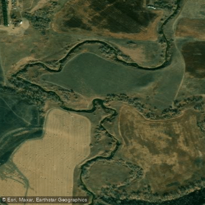
Square Butte Creek
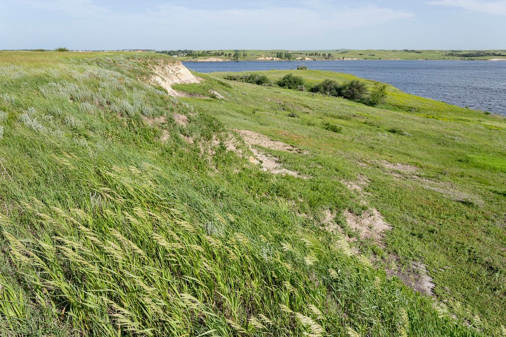
Lake Tschida
Cannonball River
Long Lake
Explore North Dakota waters
Top paddling waters
Popular Cities
Loading popular cities...
Explore near Sweet Briar Lake
Access points
Nearby waters
More in North Dakota

Smarter Paddling Starts in the App.
Paddleways gives you everything you need to plan smarter, paddle better, and own every trip from first launch to takeout.