Deer Creek
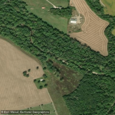
Deer Creek
- Boat Ramps
- 6
- Access Points
- 8
- Campsites
- 1
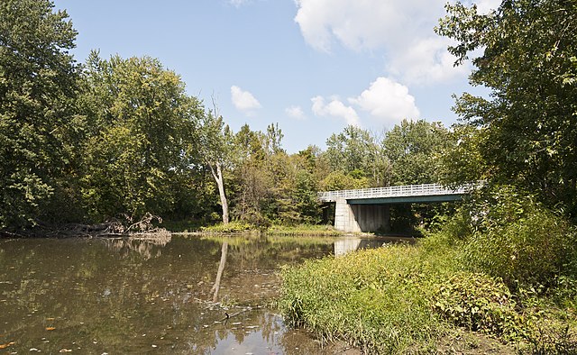
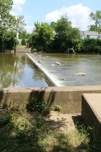
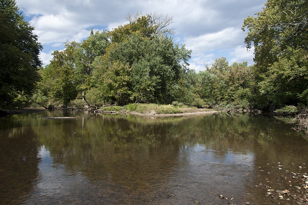
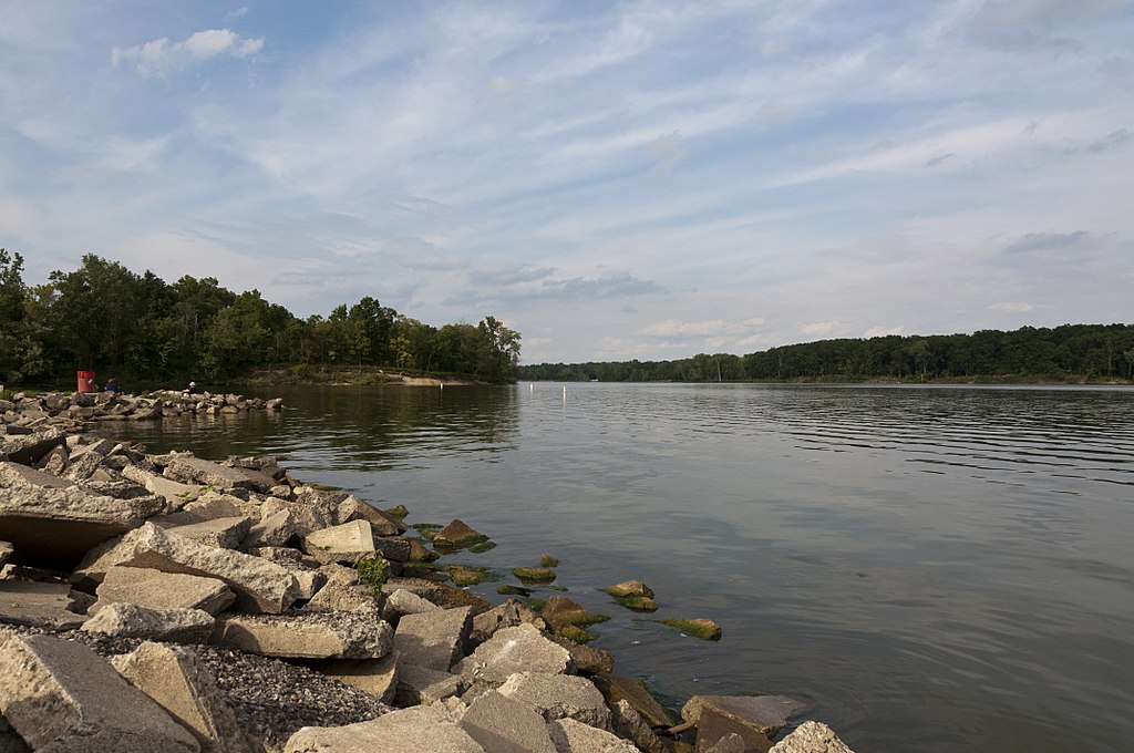
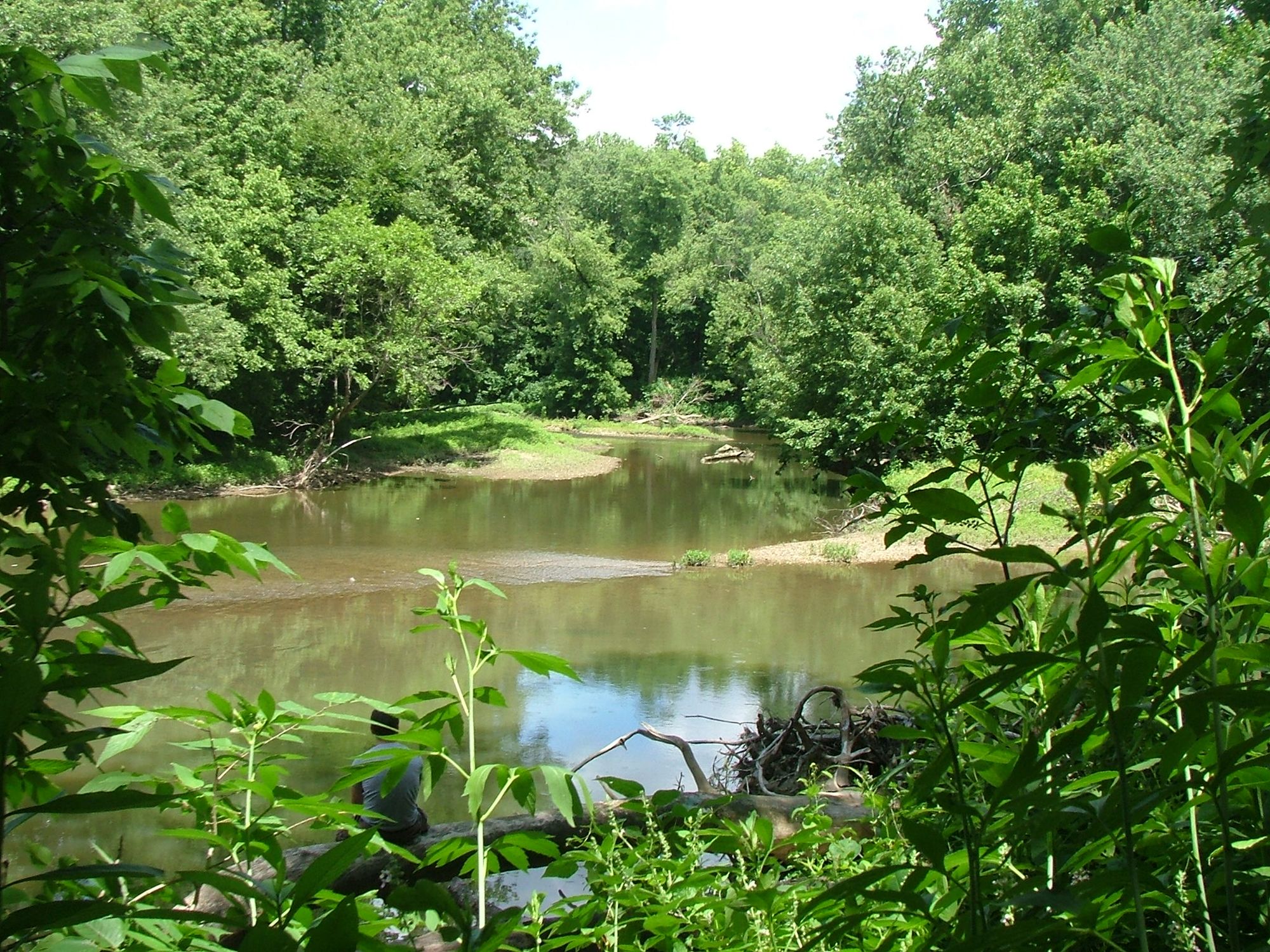
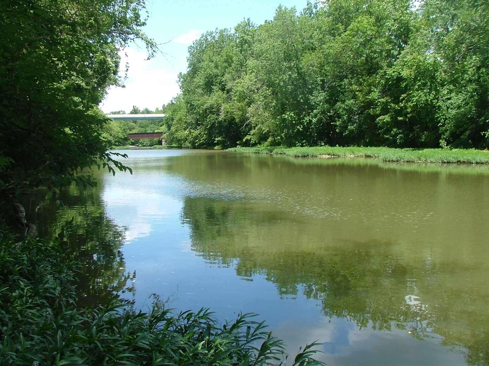
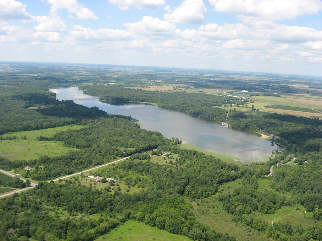
Deer Creek originates in the glaciated plains of west-central Ohio, flowing generally southeast for approximately 70 miles through Clark, Madison, Fayette, Pickaway, and Ross Counties before joining the Scioto River roughly 6 miles north of Chillicothe. The watershed encompasses 412 square miles of predominantly agricultural landscape characterized by the Eastern Corn Belt Plains ecoregion, with gently rolling terrain, fertile soils, and a meandering channel with broad floodplains. The creek's flow is significantly influenced by Deer Creek Lake, a 1,277-acre U.S. Army Corps of Engineers reservoir constructed in 1968 in Pickaway and Fayette Counties. This impoundment divides the creek into distinct upper and lower sections, with the dam located approximately 21 miles above the mouth. The reservoir provides flood control while maintaining minimum flows of 10 cubic feet per second downstream, ensuring year-round paddling opportunities below the dam.
Paddling conditions vary considerably by season and location. The upper reaches above Deer Creek Lake offer intimate small-stream paddling through agricultural areas, though adequate water levels typically require spring runoff or recent rainfall. Below the dam, the creek maintains more consistent flows suitable for novice to intermediate paddlers, with the 21-mile stretch to the Scioto River confluence providing the most reliable conditions. Average gradient is approximately 6.4 feet per mile in the lower sections, creating gentle Class I conditions with occasional riffles over gravel and small boulder substrates.
The fishery supports diverse warmwater species including smallmouth bass, largemouth bass, channel catfish, and several sunfish species. Bluebreast darters inhabit high-quality habitat sections, and the state-endangered shortnose gar has been documented in lower reaches. Riparian corridors host typical Ohio bottomland hardwoods including sycamore, cottonwood, and silver maple, with occasional stretches of American water-willow establishing along riffle margins.
Access points include public boat ramps at Deer Creek State Park near Mount Sterling, the Williamsport area, and the State Route 104 bridge near the mouth. The village of Williamsport (population approximately 1,000) provides the primary downstream access point with basic services.
The creek experiences highest flows during late winter and early spring, with March historically producing significant runoff events. Summer and fall typically bring lower, clearer conditions ideal for fishing but sometimes marginal for paddling in upper sections. The Corps of Engineers manages dam releases to avoid exceeding downstream control stages, with maximum allowable discharges varying seasonally to protect agricultural bottomlands. Paddlers should note that water quality can be affected by agricultural runoff, and bacterial levels occasionally exceed recreational standards. The dam's emergency horn warns of impending discharge increases. Multi-day trips are feasible during appropriate flow conditions, though camping options on public lands are limited to designated areas at Deer Creek State Park and Wildlife Area.
Water access, boat ramps & amenities
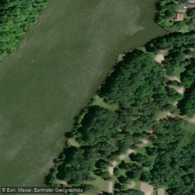
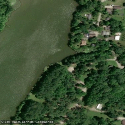
Learn how to get on Deer Creek. Uncover great paddling access points, boat ramps, and all the facilities you need for an unforgettable day on the water. Some locations shown may border or include private property. Always check property boundaries and applicable regulations before visiting. PaddleWays's Public & Private Land layer can help you plan your access with confidence.
Paddle smarter with real-time insights
Whether you're en route and conditions shift or you're looking for the best spot based on current flows, we enable you to make informed decisions on the fly.








Find Places to Paddle

Over 400,000 Places to Paddle
Every user gets free access to launch points, boat ramps, and public property parcels.


Water and weather conditions (10 day forecast)
See the best times to paddle Deer Creek and check the forecast before you go.
Deer Creek near Pancoastburg OH
All Flow Stations
Paddling near Deer Creek
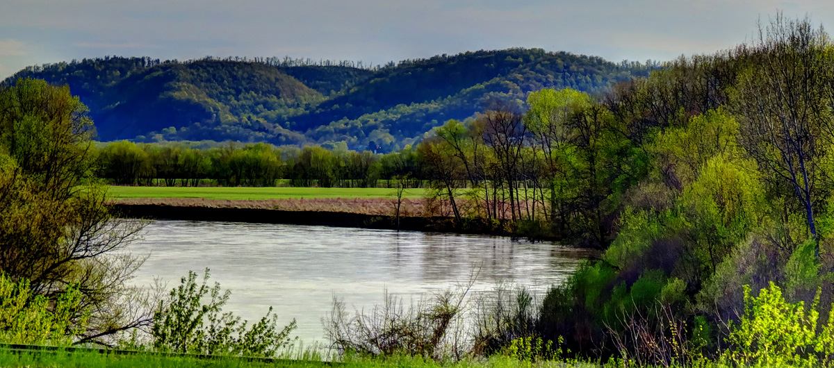
Explore Ohio waters
Top paddling waters
Popular Cities
Loading popular cities...
Explore near Deer Creek
Access points
- Deer Creek Canoe Launch
- Deer Creek State Park Canoe Launch
- Deer Creek Canoe Launch
- Deer Creek Wildlife Area Canoe Launch
- Deer Creek Canoe Launch
- Deer Creek Canoe Launch
- Madison Lake State Park Fishing Access
- Madison Lake State Park Fishing Access
- Deer Creek Bridge
- Deer Creek Bridge
- Deer Creek Bridge
- Deer Creek Bridge
- All 150 spots
Nearby waters
More in Ohio

Smarter Paddling Starts in the App.
Paddleways gives you everything you need to plan smarter, paddle better, and own every trip from first launch to takeout.