Olentangy River
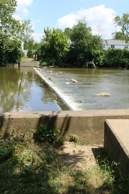
Olentangy River
- Boat Ramps
- 22
- Access Points
- 25
- Campsites
- 5
The Olentangy River is a 97-mile long tributary of the Scioto River in central Ohio. It originates in Crawford County and flows south through Delaware County and Franklin County before joining the Scioto River in downtown Columbus. The river is part of the larger Ohio River watershed.
Paddling opportunities abound on the Olentangy, with several popular sections catering to different skill levels. The 4.4-mile stretch from Sycamore Run Park to Highbanks Metro Park offers a scenic Class I-II experience suitable for beginners and intermediates. For more experienced paddlers, the 3.7-mile Delaware to Chapman Road section features Class I-II(III) rapids. The Olentangy River Water Trail, an 8.94-mile urban paddle through Columbus, provides a unique blend of natural beauty and city views. The overall difficulty ranges from Class I to II, with some Class III rapids possible at higher water levels. Most sections are suitable for intermediate paddlers, though beginners can enjoy calmer stretches with proper guidance.
Spring and early summer are ideal paddling seasons when water levels are typically higher. Late summer and fall can still offer enjoyable trips, but paddlers should be prepared for potentially lower water levels.
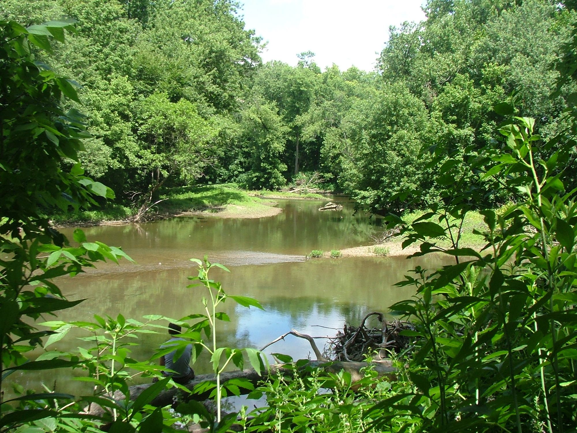
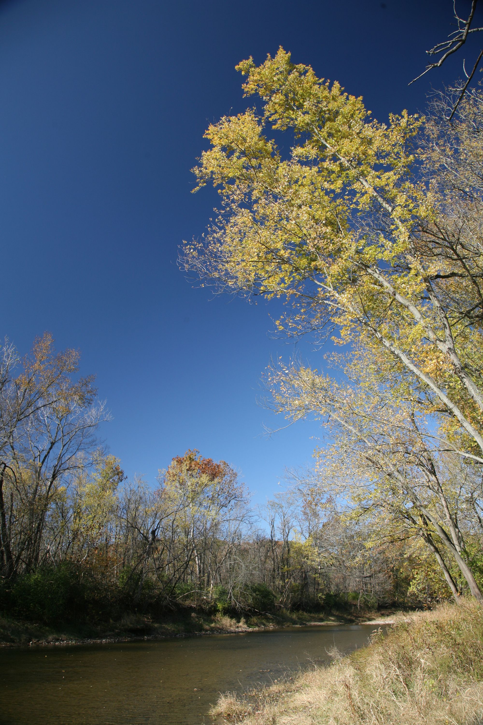
The river corridor supports diverse wildlife, including minks, beavers, and various bird species. Shale banks and wooded areas line much of the route, providing scenic views and habitat for local flora. Key landmarks include The Ohio State University campus, historic Columbus neighborhoods, and several metro parks. The river passes through both rural and urban landscapes, offering a varied paddling experience.
Major access points include Sycamore Run Park in Delaware, Highbanks Metro Park, and multiple locations within Columbus city limits. The Broad Meadows pedestrian bridge serves as the put-in for the urban water trail.
Historically, the Olentangy River played a crucial role in the development of central Ohio. Today, 22 miles of the river are designated as a State Scenic River, recognizing its natural and recreational value.
Paddlers should be aware of several lowhead dams along the urban sections that require portaging. It's essential to check water levels before trips, especially for the more challenging upstream sections. While primarily used for day trips, the river's length and multiple access points could allow for multi-day adventures for those willing to arrange logistics and camping.
Water access, boat ramps & amenities
Learn how to get on Olentangy River. Uncover great paddling access points, boat ramps, and all the facilities you need for an unforgettable day on the water. Some locations shown may border or include private property. Always check property boundaries and applicable regulations before visiting. PaddleWays's Public & Private Land layer can help you plan your access with confidence.
Paddle smarter with real-time insights
Whether you're en route and conditions shift or you're looking for the best spot based on current flows, we enable you to make informed decisions on the fly.








Find Places to Paddle

Over 400,000 Places to Paddle
Every user gets free access to launch points, boat ramps, and public property parcels.


Water and weather conditions (10 day forecast)
See the best times to paddle Olentangy River and check the forecast before you go.
Olentangy River near Delaware OH
All Flow Stations
Paddling near Olentangy River
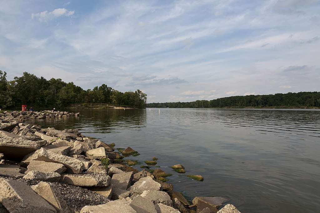
Delaware Lake
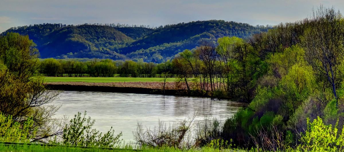
Scioto River
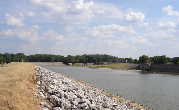
Sandusky River
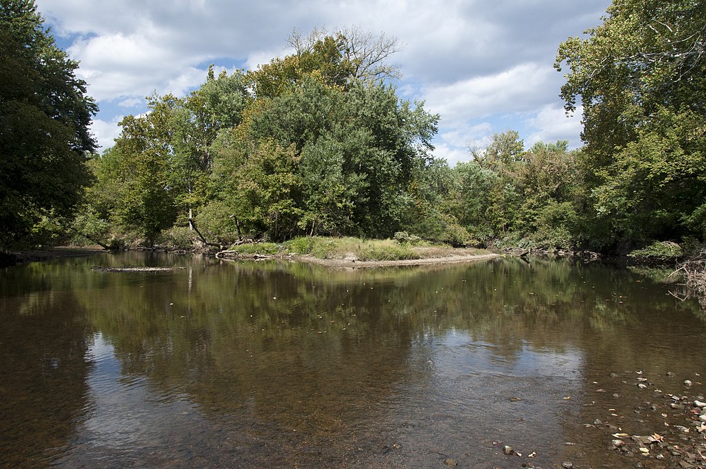
Big Walnut Creek
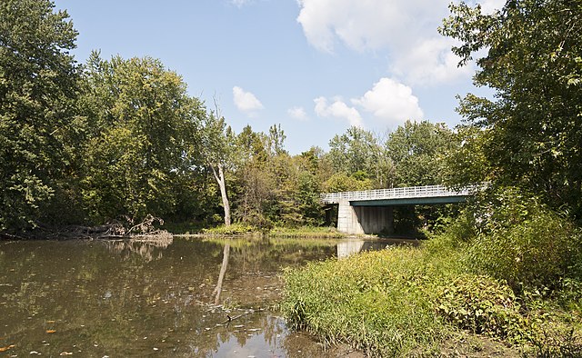
Alum Creek
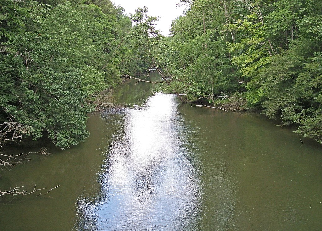
Big Darby Creek
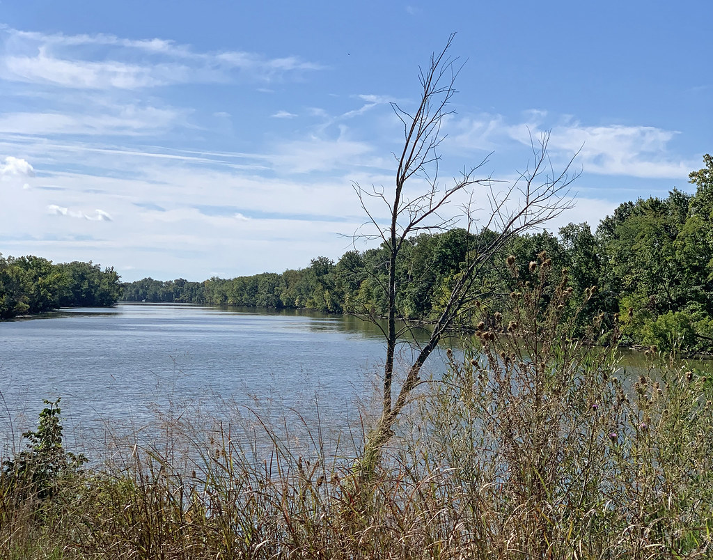
Clear Fork Mohican River
Auglaize River
Vermilion River
Explore Ohio waters
Top paddling waters
Popular Cities
Loading popular cities...
Explore near Olentangy River
Access points
- Olentangy River Canoe Launch
- Olentangy River Canoe Launch
- Olentangy River Canoe Launch
- Olentangy River Canoe Launch
- Olentangy River Canoe Launch
- Olentangy River Canoe Launch
- Olentangy River Canoe Launch
- Olentangy River Canoe Launch
- Olentangy River Canoe Launch
- Olentangy River Canoe Launch
- Olentangy River Canoe Launch
- Olentangy River Canoe Launch
- All 249 spots
Nearby waters
More in Ohio

Smarter Paddling Starts in the App.
Paddleways gives you everything you need to plan smarter, paddle better, and own every trip from first launch to takeout.