Big Walnut Creek
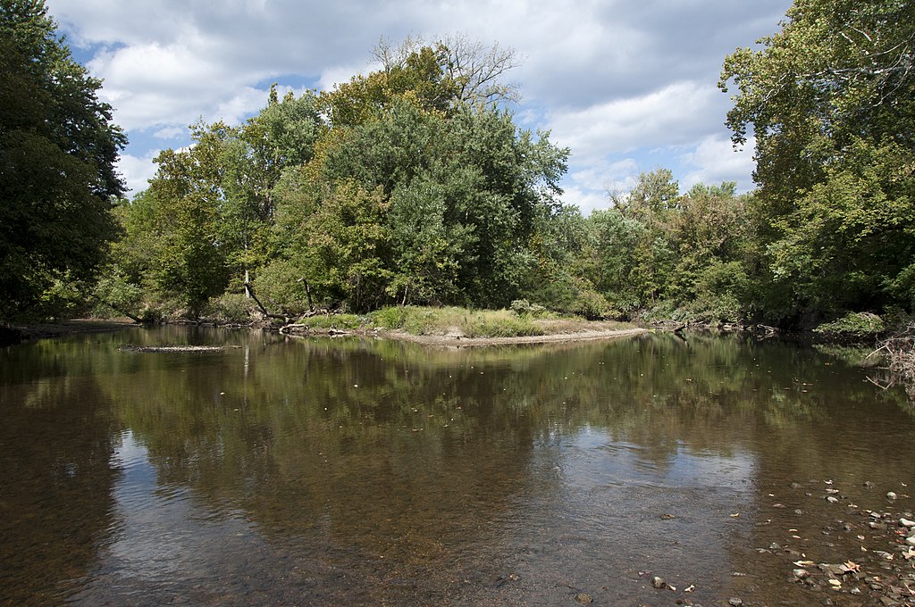
Big Walnut Creek
- Boat Ramps
- 8
- Access Points
- 9
- Campsites
- 3
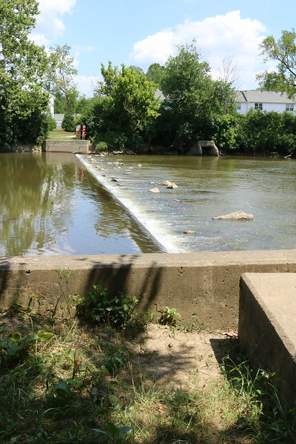
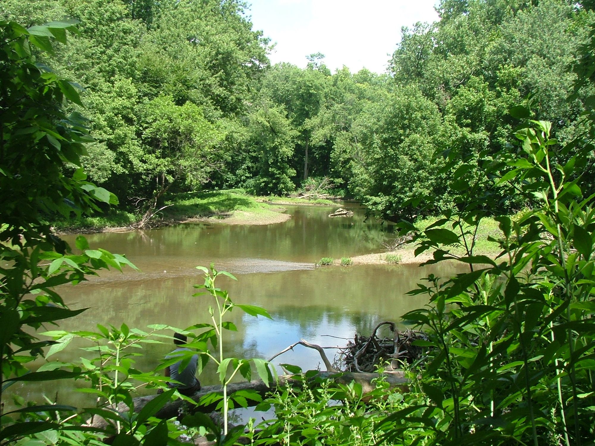
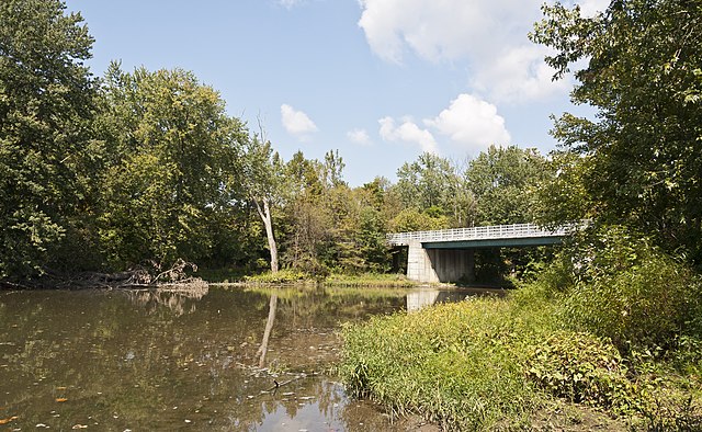
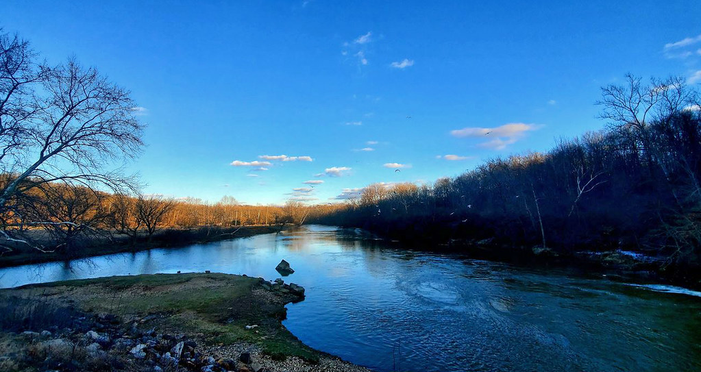
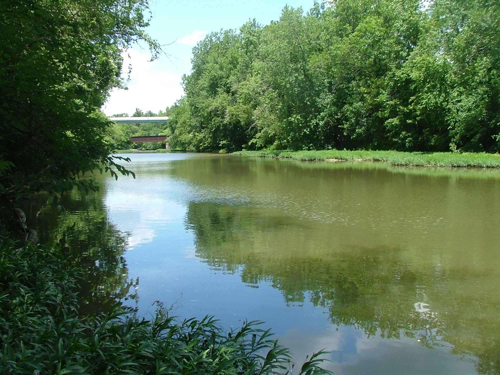
Big Walnut Creek is a significant waterway in central Ohio, originating north of Hoover Reservoir and flowing southward for approximately 37.6 miles before joining the Scioto River. This gentle stream drops about 148 feet in elevation along its course, averaging a gradient of 3.9 feet per mile. The creek offers diverse paddling opportunities suitable for beginners to intermediate paddlers. Most sections are classified as flatwater to Class I, with occasional mild riffles.
Popular paddling routes include the stretch from Pizzuro Park to Big Walnut Park in Columbus, a 5-6 mile journey typically completed in about 2.5 hours. Another notable section runs from below Hoover Dam to Cherry Bottom Park, providing a scenic 1.5-2 mile one-way trip. The city of Gahanna offers several access points, including Morse Road Kayak launch, Woodside Green Park, and Friendship Park. These allow for customizable trips, such as the 2.5-mile float from Woodside Green to Friendship Park. Seasonal paddle boat and kayak rentals are available at Creekside Park in Gahanna.
Big Walnut Creek's ecosystem supports diverse wildlife, with paddlers often spotting deer and various bird species. The surrounding landscape transitions from urban areas near Columbus to more natural settings as the creek flows southward.
Water levels fluctuate seasonally, with late spring to early fall generally offering the best paddling conditions. However, during drought periods, particularly in July and August, shallow areas may require occasional portaging.
For longer adventures, the creek offers an extensive 74-mile journey from Ruffner Park to Hamilton Township Park, suitable for multi-day trips with ample fishing and camping opportunities along the route.
Safety considerations include checking water levels before trips, as low water can create obstacles. Paddlers should also be aware of potential strainers and log jams, especially after heavy rains.
Big Walnut Creek plays a vital role in central Ohio's watershed, providing recreational opportunities while serving as an important water source for the region. Its course through both urban and natural areas offers paddlers a unique perspective on the interplay between human development and natural ecosystems in the heart of Ohio.
Water access, boat ramps & amenities
Learn how to get on Big Walnut Creek. Uncover great paddling access points, boat ramps, and all the facilities you need for an unforgettable day on the water. Some locations shown may border or include private property. Always check property boundaries and applicable regulations before visiting. PaddleWays's Public & Private Land layer can help you plan your access with confidence.
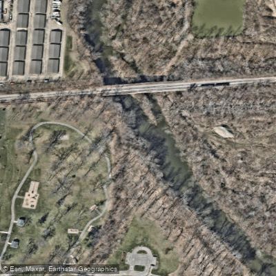
Paddle smarter with real-time insights
Whether you're en route and conditions shift or you're looking for the best spot based on current flows, we enable you to make informed decisions on the fly.








Find Places to Paddle

Over 400,000 Places to Paddle
Every user gets free access to launch points, boat ramps, and public property parcels.


Water and weather conditions (10 day forecast)
See the best times to paddle Big Walnut Creek and check the forecast before you go.
Big Walnut Creek at Sunbury OH
All Flow Stations
Paddling near Big Walnut Creek
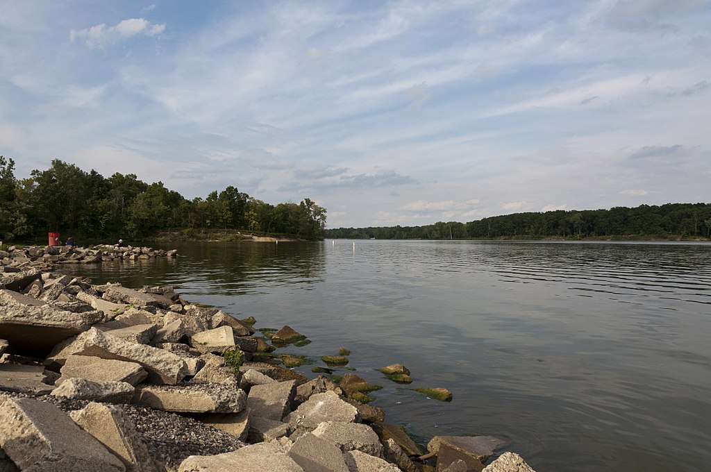
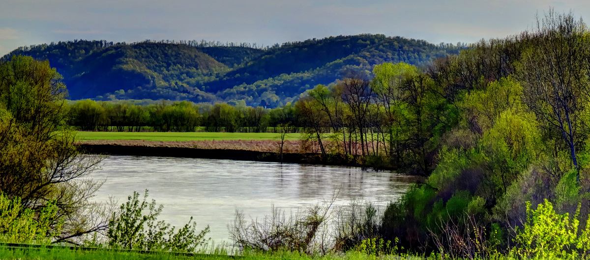
Explore Ohio waters
Top paddling waters
Popular Cities
Loading popular cities...
Explore near Big Walnut Creek
Access points
Nearby waters
More in Ohio

Smarter Paddling Starts in the App.
Paddleways gives you everything you need to plan smarter, paddle better, and own every trip from first launch to takeout.