Veto Lake
Veto Lake
- Boat Ramps
- 2
- Access Points
- 2
- Campsites
- 0
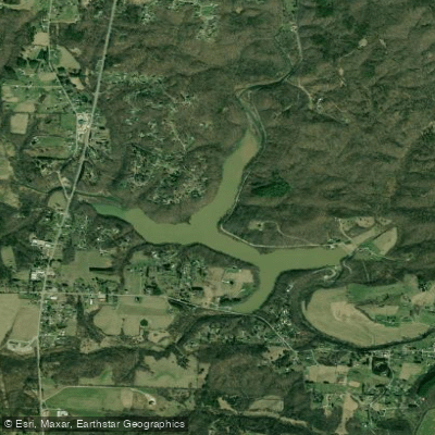
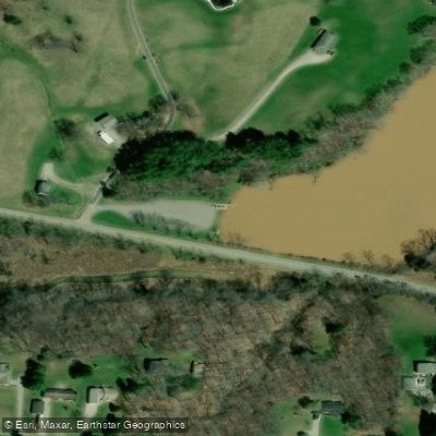
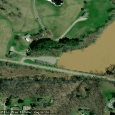
Veto Lake, Washington County's only public lake, offers 160 acres of flat water with six miles of shoreline. Located just east of Ohio State Route 339, the lake features a paved parking lot and concrete boat ramp off Veto Road, with an adjacent grassy area providing an easy slide-in launch for paddlers.
The lake's 10-horsepower limit on motorized boats creates a quiet environment ideal for beginner paddlers. Several fingers branch off the main body of water, providing varied route options. The most popular paddling route runs from the boat ramp to the feeder stream at the far end of the lake, passing under several road bridges before entering a wooded section. This out-and-back trip covers approximately four miles.
Facilities include parking areas, a picnic pavilion, and pit toilets. The lake has two dams at its outlet end, and Lake Road runs along the entire eastern shoreline. While the Division of Wildlife owns the shorelines, the northwest and southwest areas above the shorelines are developed with housing lots.
Wildlife viewing opportunities abound, with frequent sightings of owls, beavers, deer, and various bird species, including great blue herons, geese, and sandpipers. Turtles are commonly seen sunning themselves on fallen logs. The lake's numerous fingers and feeder creeks provide interesting areas for exploration.
Created in 1954 by the Ohio Department of Natural Resources, the lake bears historical significance through its namesake community of Veto, which was established in 1850 and named to commemorate pioneer Ephraim Cutler's role in preventing Ohio from becoming a slave state.
For paddlers' reference, the total wildlife area encompasses 433 acres, with the lake itself currently measuring approximately 148 acres. Lake Road provides additional access points and picnic areas along the eastern shore, passing over one of the two dams.
Water access, boat ramps & amenities
Learn how to get on Veto Lake. Uncover great paddling access points, boat ramps, and all the facilities you need for an unforgettable day on the water. Some locations shown may border or include private property. Always check property boundaries and applicable regulations before visiting. PaddleWays's Public & Private Land layer can help you plan your access with confidence.
Paddle smarter with real-time insights
Whether you're en route and conditions shift or you're looking for the best spot based on current flows, we enable you to make informed decisions on the fly.








Find Places to Paddle

Over 400,000 Places to Paddle
Every user gets free access to launch points, boat ramps, and public property parcels.


Water and weather conditions (10 day forecast)
See the best times to paddle Veto Lake and check the forecast before you go.
No forecast data available.
Paddling near Veto Lake

Ohio River
Little Kanawha River
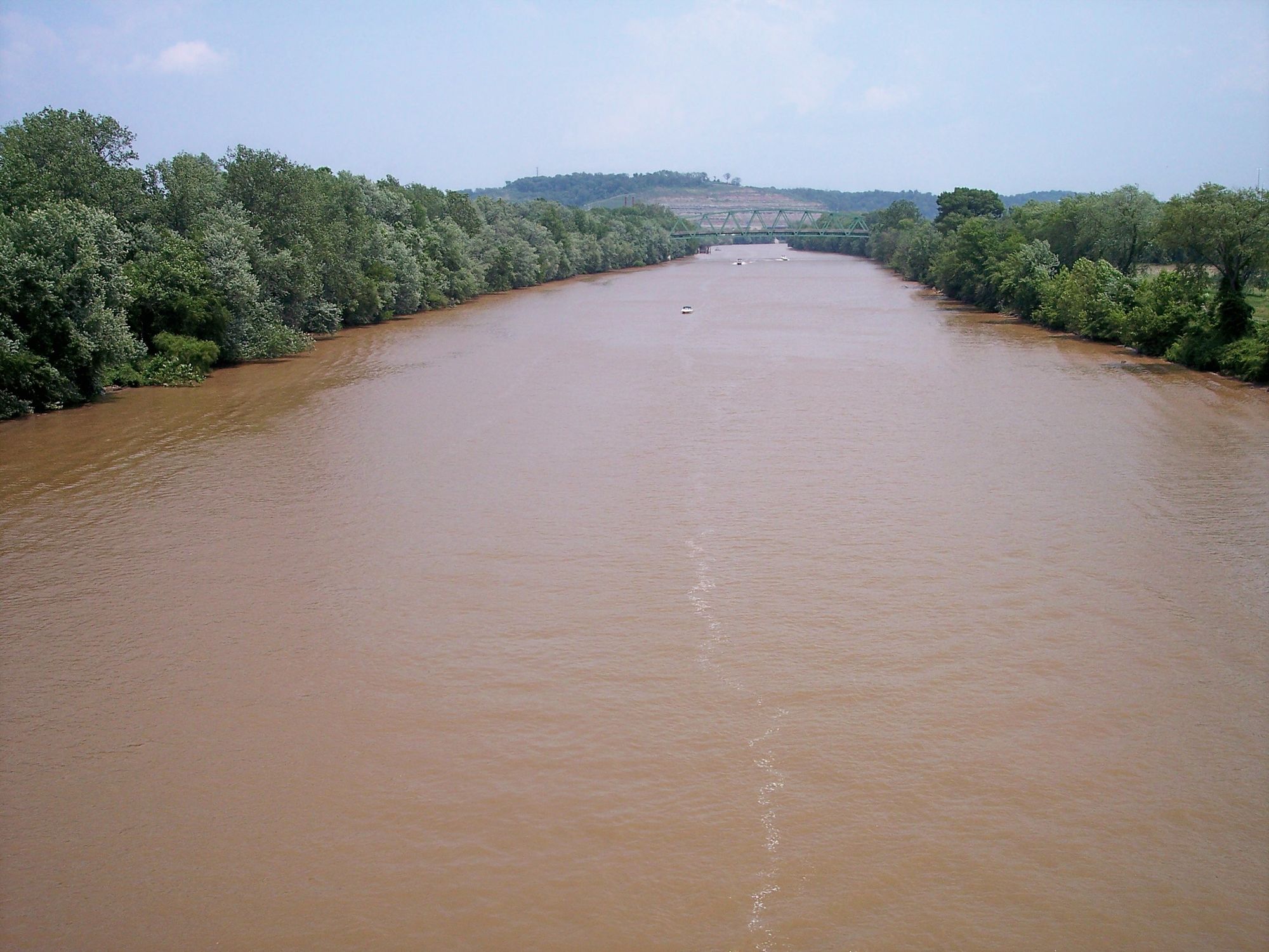
Kanawha River
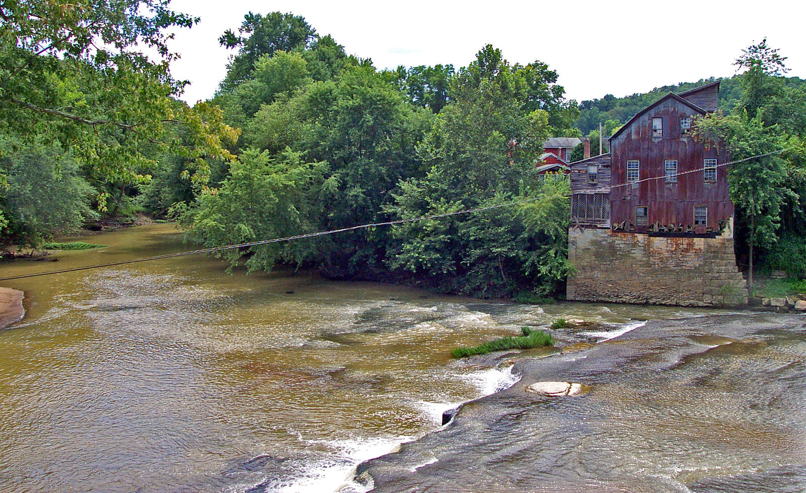
Raccoon Creek
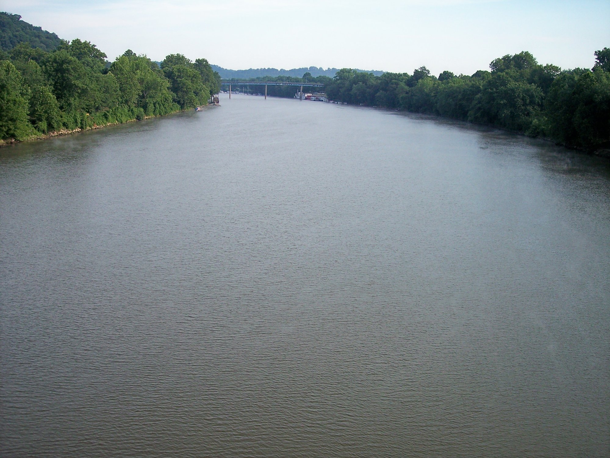
Muskingum River
Hocking River
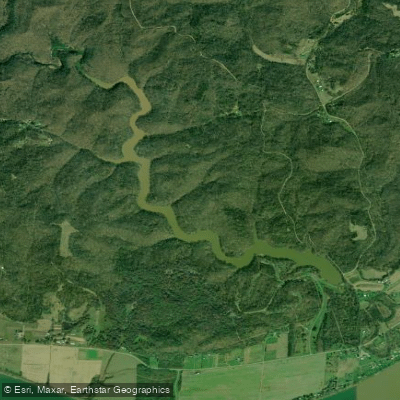
Forked Run Lake
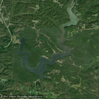
Burr Oak Reservoir
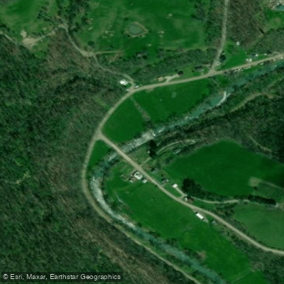
Little Muskingum River
Explore Ohio waters
Top paddling waters
Popular Cities
Loading popular cities...
Explore near Veto Lake
Access points
- Veto Lake Wildlife Area Boat Ramp
- Veto Lake Wildlife Area Boat Ramp
- Veto Lake * Veto Lak Bridge
- Tupper Ck*veto Lk Fdg* D Bridge
- Tupper Ck * Rocky Poin Bridge
- South Branch Tupper Cree Bridge
- Ebrltl Hocking Needham D Bridge
- Little Hocking * Cassidy Bridge
- E Br L Hocking *holliste Bridge
- E Br L Hocking * Reynold Bridge
- L Hocking * Millbranc Bridge
- S.fork S.branch Wolf Crk Bridge
- All 32 spots
Nearby waters
More in Ohio

Smarter Paddling Starts in the App.
Paddleways gives you everything you need to plan smarter, paddle better, and own every trip from first launch to takeout.