Great Salt Plains Reservoir
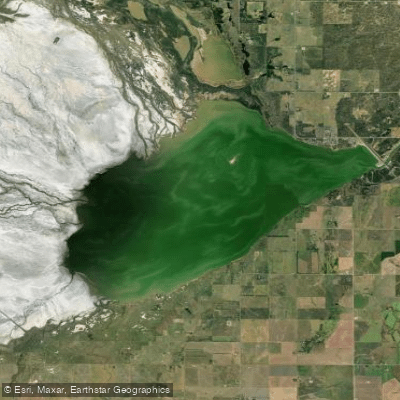
Great Salt Plains Reservoir
- Boat Ramps
- 5
- Access Points
- 6
- Campsites
- 0
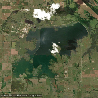
Great Salt Plains Reservoir is a shallow, saline lake covering 8,690 acres with 41 miles of shoreline in northern Oklahoma. The lake is approximately half as salty as the ocean, creating a unique paddling environment. Due to its shallowness, only shallow-draft vessels like canoes and kayaks are advised. Paddling is permitted year-round, weather permitting, though the crystal digging area is only open from April 1 to October 15.
The lake offers opportunities for canoeing, kayaking, and rafting, with Sandy Beach Recreation Area providing a designated swimming beach and boat access. Paddlers can explore the shoreline and observe diverse wildlife, including over 300 species of protected birds that inhabit the adjacent Salt Plains National Wildlife Refuge. Bald eagles and golden eagles frequent the area in winter.
Facilities for paddlers include multiple campgrounds with RV and tent sites, as well as cabins for overnight stays. The Sandy Beach, River Road, North Spillway, and South Spillway recreation areas offer amenities like picnic pavilions, restrooms, and boat launches. An accessible trail is available in the River Road Area.
Water quality in Great Salt Plains Lake supports various fish species, including catfish, saugeye, sand bass, and hybrid striper. However, paddlers should be aware that a large portion of the reservoir lies within the National Wildlife Refuge boundary and is restricted from access. Additionally, boats are prohibited on refuge creeks, streams, and rivers.
The lake's unique geological features, including salt flats and selenite crystal formations, provide a distinctive backdrop for paddling adventures. The surrounding landscape transitions from farmland to expansive white salt plains, creating a visually striking environment.
Water access, boat ramps & amenities
Learn how to get on Great Salt Plains Reservoir. Uncover great paddling access points, boat ramps, and all the facilities you need for an unforgettable day on the water. Some locations shown may border or include private property. Always check property boundaries and applicable regulations before visiting. PaddleWays's Public & Private Land layer can help you plan your access with confidence.
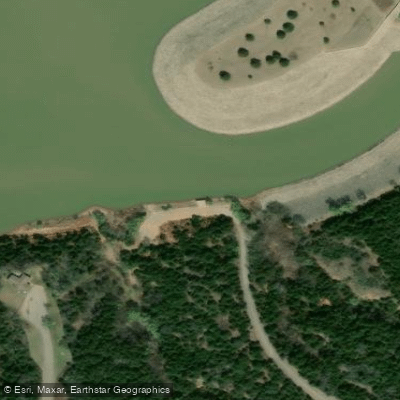
Coon Hollow
P30 Road Access
Paddle smarter with real-time insights
Whether you're en route and conditions shift or you're looking for the best spot based on current flows, we enable you to make informed decisions on the fly.








Find Places to Paddle

Over 400,000 Places to Paddle
Every user gets free access to launch points, boat ramps, and public property parcels.


Water and weather conditions (10 day forecast)
See the best times to paddle Great Salt Plains Reservoir and check the forecast before you go.
No forecast data available.
Paddling near Great Salt Plains Reservoir
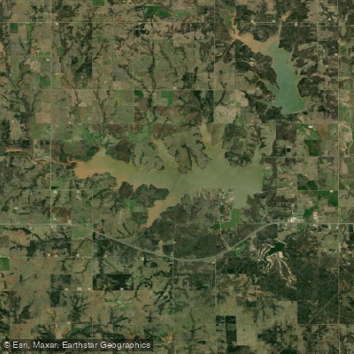
Lake Carl Blackwell
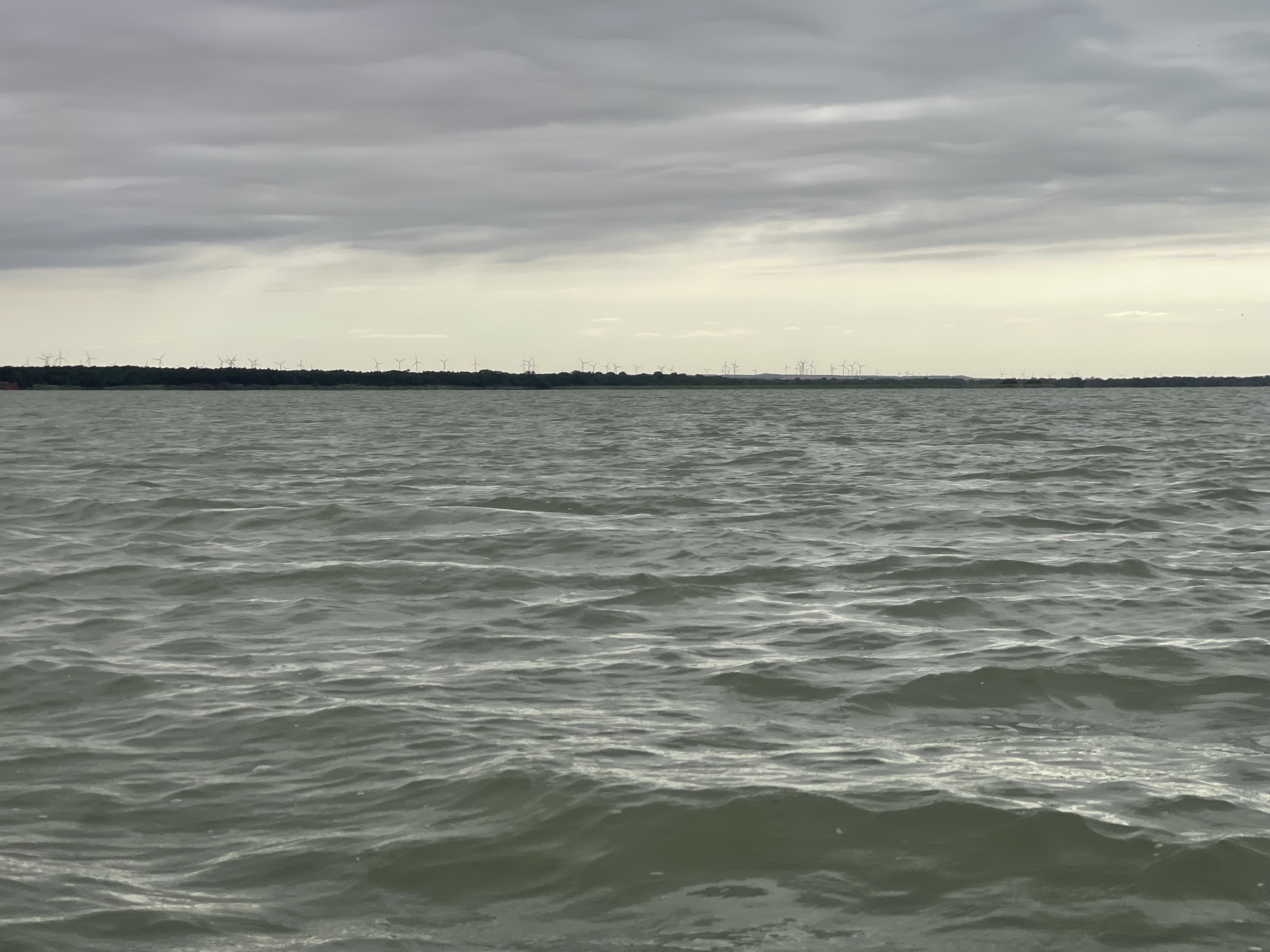
Canton Lake

Arkansas River
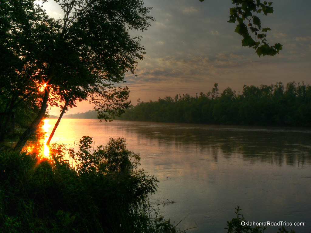
North Canadian River
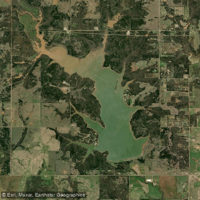
Lake McMurtry
Salt Fork Arkansas River
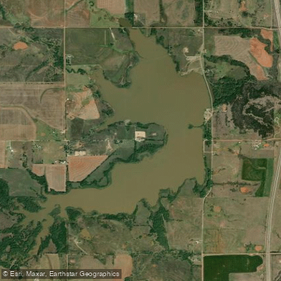
Lake Perry
Sooner Lake

Guthrie Lake
Explore Oklahoma waters
Top paddling waters
Popular Cities
Loading popular cities...
Explore near Great Salt Plains Reservoir
Access points
Nearby waters
More in Oklahoma

Smarter Paddling Starts in the App.
Paddleways gives you everything you need to plan smarter, paddle better, and own every trip from first launch to takeout.