Salt Fork Arkansas River
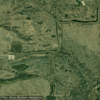
Salt Fork Arkansas River
- Boat Ramps
- 1
- Access Points
- 2
- Campsites
- 0
The Salt Fork Arkansas River is a significant tributary of the Arkansas River, flowing through southern Kansas and northern Oklahoma. This 239-mile long waterway offers paddlers a diverse range of experiences, from serene flatwater sections to challenging whitewater runs.
The river's journey begins in Comanche County, Kansas, winding its way southeast through Barber County before entering Oklahoma. As it flows through Woods, Alfalfa, Grant, Kay, and Noble counties, the Salt Fork passes near towns like Alva, Pond Creek, Lamont, and Tonkawa before joining the Arkansas River south of Ponca City.
Paddling opportunities on the Salt Fork vary greatly depending on the section. The upper reaches in Kansas tend to be calmer, offering pleasant flatwater paddling suitable for beginners and families. As the river enters Oklahoma, it becomes more dynamic, with the section from Grainola to Ralston providing the most exciting whitewater. This 30-mile stretch features Class II to III rapids, with potential for Class III+ during higher flows, making it a favorite among intermediate to advanced paddlers.
The river's difficulty ranges from flatwater to Class III+, accommodating a wide range of skill levels. However, paddlers should always check current conditions, as water levels can significantly impact difficulty and safety.
The best time to paddle the Salt Fork is typically from late spring through early fall. Spring can offer higher water levels for whitewater enthusiasts, while summer and fall provide more stable conditions for leisurely trips. Winter paddling is possible during mild weather, but should only be attempted by experienced paddlers with proper cold-water gear.
The Salt Fork's ecosystem is rich and varied. Paddlers may spot diverse wildlife, including various bird species, deer, and occasionally beavers or river otters. The river corridor is lined with cottonwoods, willows, and other riparian vegetation, providing a scenic backdrop for your journey.
A notable landmark along the river is the Great Salt Plains Lake, created by a dam on the Salt Fork. This unique area features salt flats and is part of the Great Salt Plains National Wildlife Refuge, offering opportunities for wildlife viewing and even selenite crystal digging during designated seasons.
Access points are available near several towns, including Grainola, Tonkawa, and Ralston in Oklahoma. However, some put-ins and take-outs can be challenging to find, so scouting your route beforehand is advisable.
The Salt Fork holds historical significance as part of the Osage Nation's traditional territory. The river and surrounding salt plains played a crucial role in Native American trade and were later important to early European settlers.
Safety considerations include checking water levels before trips, being aware of potential strainers and low-head dams, and respecting private property along the banks. Paddlers should also be prepared for the river's saline nature, which can make the water unsuitable for drinking.
While most paddlers opt for day trips, multi-day adventures are possible, especially on the longer stretches between access points. These trips require careful planning and self-sufficiency, as amenities along the river can be sparse.
The Salt Fork Arkansas River offers a unique paddling experience, combining the challenge of occasional whitewater with the serenity of a prairie river. Its diverse character and rich surroundings make it a hidden gem for paddlers seeking to explore the heart of America's plains.
Water access, boat ramps & amenities
Learn how to get on Salt Fork Arkansas River. Uncover great paddling access points, boat ramps, and all the facilities you need for an unforgettable day on the water. Some locations shown may border or include private property. Always check property boundaries and applicable regulations before visiting. PaddleWays's Public & Private Land layer can help you plan your access with confidence.
Paddle smarter with real-time insights
Whether you're en route and conditions shift or you're looking for the best spot based on current flows, we enable you to make informed decisions on the fly.








Find Places to Paddle

Over 400,000 Places to Paddle
Every user gets free access to launch points, boat ramps, and public property parcels.


Water and weather conditions (10 day forecast)
See the best times to paddle Salt Fork Arkansas River and check the forecast before you go.
Salt Fork Arkansas River at Tonkawa, OK
All Flow Stations
Paddling near Salt Fork Arkansas River
Lake Carl Blackwell
Canton Lake

Arkansas River
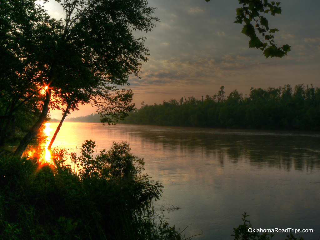
North Canadian River
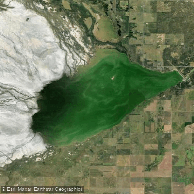
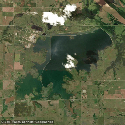
Great Salt Plains Reservoir
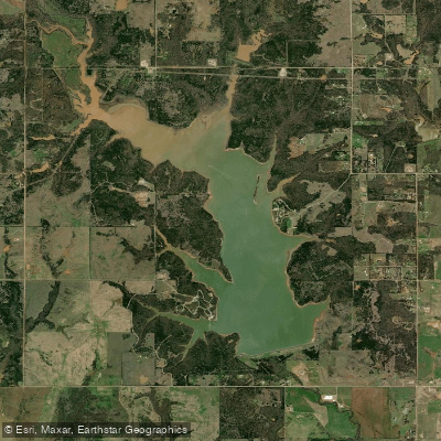
Lake McMurtry
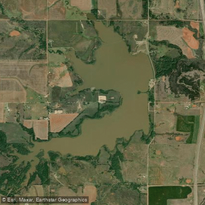
Lake Perry
Sooner Lake

Guthrie Lake
Explore Kansas waters
Top paddling waters
Popular Cities
Loading popular cities...
Explore near Salt Fork Arkansas River
Access points
- Great Salt Plains Boat Ramp
- Coon Hollow
- Salt Fork Of Arkansas Bridge
- Salt Fork Arkansas Riv. Bridge
- Salt Fork Arkansas River Bridge
- Salt Fork River Bridge
- Salt Fork Arkansas River Bridge
- Trib. Salt Fk. Ark. Riv. Bridge
- Salt Fork Arkansas River Bridge
- Salt Fork Arkansas River Bridge
- Salt Fork River Bridge
- Salt Fork Arkansas River Bridge
- All 163 spots
Nearby waters
More in Kansas

Smarter Paddling Starts in the App.
Paddleways gives you everything you need to plan smarter, paddle better, and own every trip from first launch to takeout.