Lake O the Cherokees
Lake O the Cherokees
- Boat Ramps
- 3
- Access Points
- 3
- Campsites
- 0
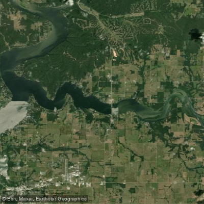
Grand Lake O' The Cherokees, also known simply as Grand Lake, is a large reservoir in northeastern Oklahoma offering 1,300 miles of shoreline for paddlers to explore. Located at the foothills of the Ozarks, the lake provides diverse scenery and ample opportunities for extended kayaking trips. Several state parks and public access points are available around the lake for launching, with numerous campgrounds and resorts offering accommodation options.
The lake's expansive size makes it suitable for multi-day paddling adventures. However, paddlers should be aware that Grand Lake can become quite busy during summer months, particularly with motorized boat traffic. This may impact the paddling experience and require extra caution. The lake is known for its picturesque setting and breathtaking views, making it a favorite among Oklahoma kayakers.
Wildlife enthusiasts will appreciate the opportunity to observe diverse bird species and aquatic life while paddling. The lake's location in the Ozark foothills contributes to its scenic appeal. Fishing is popular on Grand Lake, with species like striped bass, largemouth bass, and catfish available.
While specific water temperatures are not provided, the lake is generally suitable for paddling throughout the warmer months. As with all Oklahoma waterways, paddlers are required to have a personal flotation device (PFD) on board for each person, with children under 13 required to wear them at all times.
For those interested in the lake's historical context, Grand Lake O' The Cherokees is situated on the Neosho River and has played a significant role in the region's development. Paddlers exploring the lake's extensive shoreline may encounter a mix of natural areas and developed sections, offering a varied paddling experience.
Water access, boat ramps & amenities
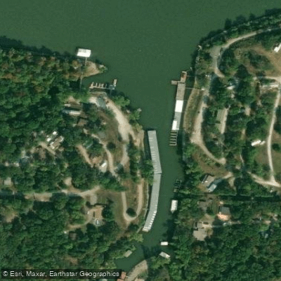
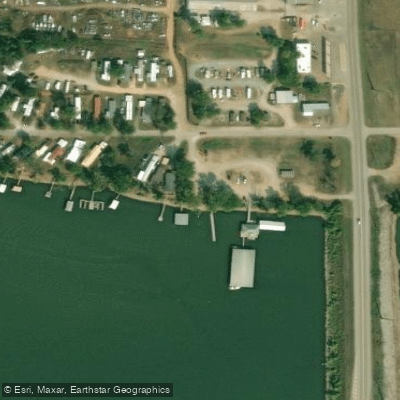
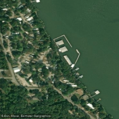
Learn how to get on Lake O the Cherokees. Uncover great paddling access points, boat ramps, and all the facilities you need for an unforgettable day on the water. Some locations shown may border or include private property. Always check property boundaries and applicable regulations before visiting. PaddleWays's Public & Private Land layer can help you plan your access with confidence.
Paddle smarter with real-time insights
Whether you're en route and conditions shift or you're looking for the best spot based on current flows, we enable you to make informed decisions on the fly.








Find Places to Paddle

Over 400,000 Places to Paddle
Every user gets free access to launch points, boat ramps, and public property parcels.


Water and weather conditions (10 day forecast)
See the best times to paddle Lake O the Cherokees and check the forecast before you go.
No forecast data available.
Paddling near Lake O the Cherokees
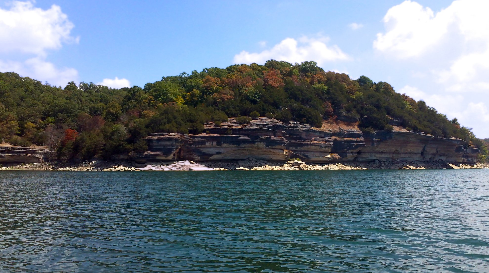
Beaver Lake

White River
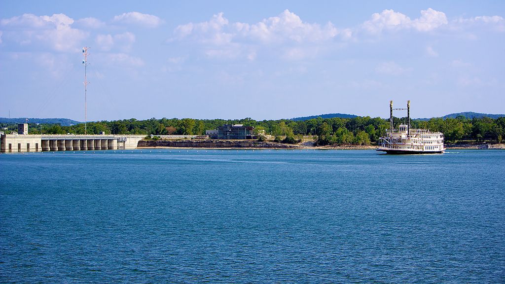
Table Rock Lake
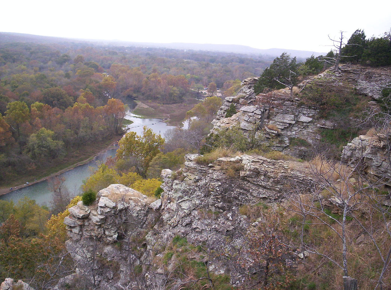
Illinois River
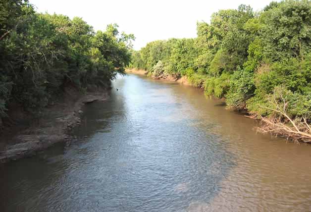
Neosho River
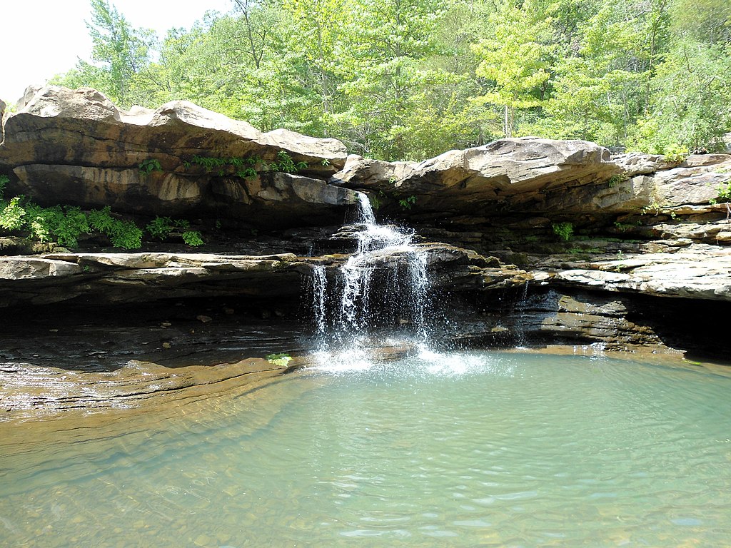
Kings River
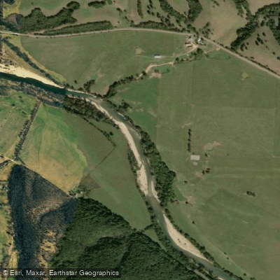
Elk River
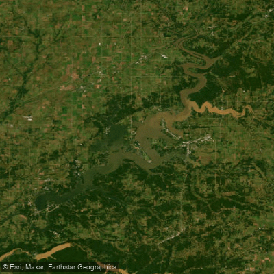
Grand Lake O' The Cherokees
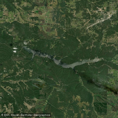
Lake Eucha
Explore Oklahoma waters
Top paddling waters
Popular Cities
Loading popular cities...
Explore near Lake O the Cherokees
Access points
Nearby waters
More in Oklahoma

Smarter Paddling Starts in the App.
Paddleways gives you everything you need to plan smarter, paddle better, and own every trip from first launch to takeout.