Table Rock Lake
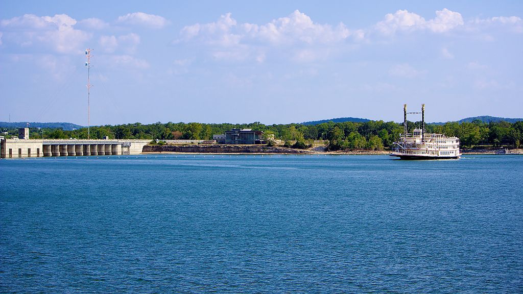
Table Rock Lake
- Boat Ramps
- 49
- Access Points
- 52
- Campsites
- 21
Table Rock Lake is a vast 43,000-acre reservoir straddling the Missouri-Arkansas border, offering paddlers over 800 miles of shoreline to explore. The lake's clear, spring-fed waters provide excellent visibility, making it ideal for wildlife spotting and enjoying the scenic Ozark landscape. The lake's expansive size allows ample space for paddlers to spread out and find secluded areas.
The lake's numerous coves and inlets provide opportunities for shoreline exploration. The lake is surrounded by the Ozark Mountains, offering picturesque views for paddlers. Wildlife enthusiasts may spot various fish species, including smallmouth bass, spotted bass, and channel catfish.
Table Rock Lake State Park, located about 15 minutes southwest of Branson, Missouri, offers amenities for paddlers including a marina with boat rentals, camping facilities, and hiking trails. The park features the Lakeshore Trail, a paved accessible path offering stunning lake views.
The lake is popular for various water activities beyond paddling, including fishing, boating, and swimming. Paddlers should be aware of potential boat traffic, especially during peak summer months. The lake's water is typically cool and clear, contributing to its reputation for good water quality.
The lake is generally most suitable for paddling from late spring through early fall when weather conditions are milder. Paddlers should be prepared for changing weather conditions and practice water safety at all times.
Visitors should check with local authorities or the state park for current rules and guidelines. The lake's historical significance stems from its creation as a man-made reservoir, now serving as a major recreation destination in the Ozarks region.
Water access, boat ramps & amenities
Learn how to get on Table Rock Lake. Uncover great paddling access points, boat ramps, and all the facilities you need for an unforgettable day on the water. Some locations shown may border or include private property. Always check property boundaries and applicable regulations before visiting. PaddleWays's Public & Private Land layer can help you plan your access with confidence.
Farm Road 2259 Access
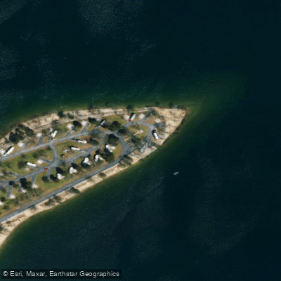
Old Highway Eighty-Six Campground Access
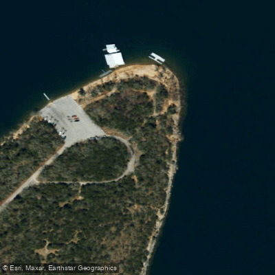
Big Indian Access
Paddle smarter with real-time insights
Whether you're en route and conditions shift or you're looking for the best spot based on current flows, we enable you to make informed decisions on the fly.








Find Places to Paddle

Over 400,000 Places to Paddle
Every user gets free access to launch points, boat ramps, and public property parcels.


Water and weather conditions (10 day forecast)
See the best times to paddle Table Rock Lake and check the forecast before you go.
White River at Beaver Dam near Eureka Springs
All Flow Stations
Paddling near Table Rock Lake
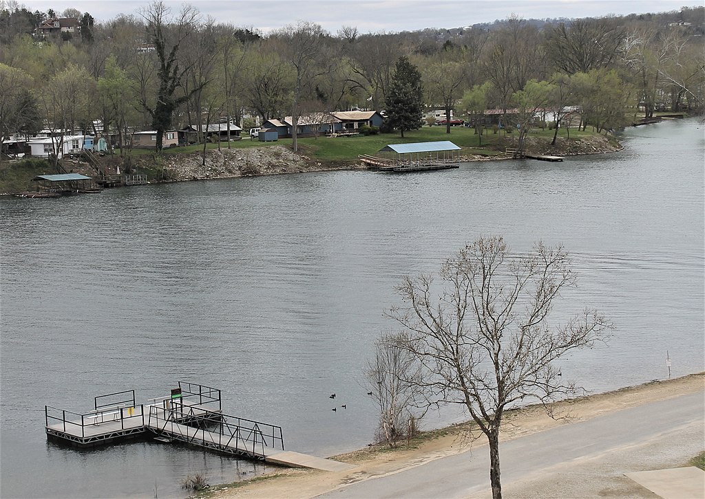
Lake Taneycomo

White River
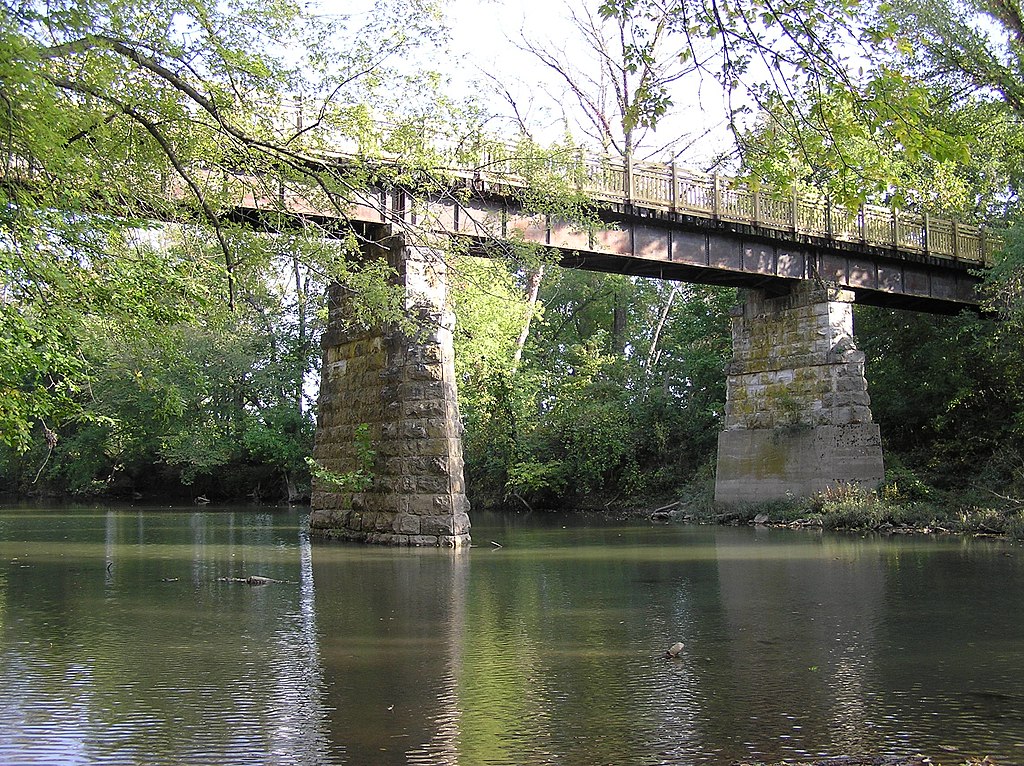
Sac River
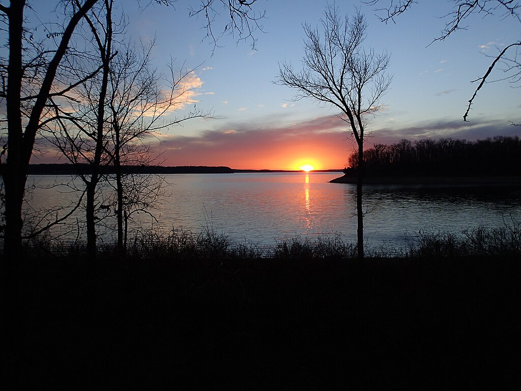
Stockton Lake
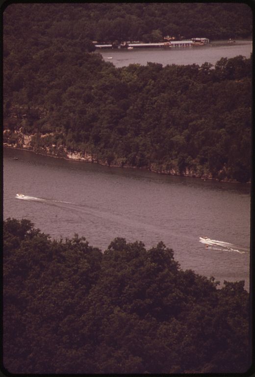
Niangua River
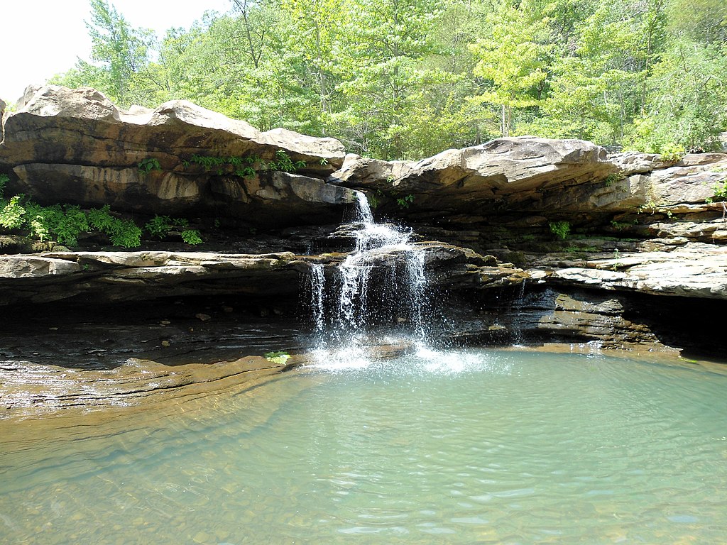
Kings River
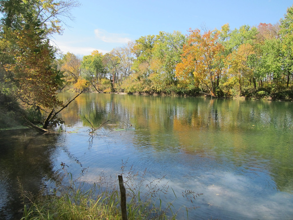
Gasconade River
Lake Springfield
James River
Explore Arkansas waters
Top paddling waters
Popular Cities
Loading popular cities...
Explore near Table Rock Lake
Access points
Nearby waters
More in Arkansas

Smarter Paddling Starts in the App.
Paddleways gives you everything you need to plan smarter, paddle better, and own every trip from first launch to takeout.