North Fork Red River

North Fork Red River
- Boat Ramps
- 0
- Access Points
- 1
- Campsites
- 4
The North Fork Red River originates in Wheeler County, Texas and flows northeast into Oklahoma, eventually joining the Prairie Dog Town Fork of the Red River at the Texas-Oklahoma border to form the main stem of the Red River. This 175-mile long river descends through rolling plains, forming part of the border between several Oklahoma counties before its confluence about 13 miles northeast of Vernon, Texas.
Paddling opportunities on the North Fork Red River range from flatwater sections to Class I-II rapids, suitable for beginner to intermediate paddlers. The upper section from Wheeler County, TX to near Carter, OK offers a more remote experience through rolling terrain. The lower section from Carter to the confluence provides a mix of gentle rapids and flatwater paddling. Lake Texoma, formed by Denison Dam on the main Red River, offers excellent flatwater kayaking and canoeing opportunities with numerous access points.
Water levels are typically best for paddling in spring and early summer, with flows becoming low by late summer. The river's distinctive red color comes from red clay soil formations along its banks. Wildlife viewing opportunities include catfish, bass, and various turtle species.
Key landmarks include the Denison Dam, Carpenters Bluff bridge, and the confluence with Elm Creek in southern Greer County, OK. Primary access points are located at Denison Dam, Carpenters Bluff, and various points along Lake Texoma, with nearby towns including Denison, TX and Durant, OK.
The North Fork Red River played a significant role in defining the Texas-Oklahoma border and was an important transportation route in the 19th century. Today, it's valued for recreation and as a vital water source for the region.
Paddlers should be aware of potential low water levels in late summer and fall. Oklahoma fishing licenses are required for fishing the river. Multi-day trips are possible, particularly on the upper sections, but paddlers should be prepared for primitive camping conditions. For those seeking a longer adventure, it's possible to combine a trip on the North Fork with paddling on Lake Texoma or continuing downstream on the main Red River, offering a diverse range of paddling experiences through the heart of Red River country.
Water access, boat ramps & amenities
Learn how to get on North Fork Red River. Uncover great paddling access points, boat ramps, and all the facilities you need for an unforgettable day on the water. Some locations shown may border or include private property. Always check property boundaries and applicable regulations before visiting. PaddleWays's Public & Private Land layer can help you plan your access with confidence.
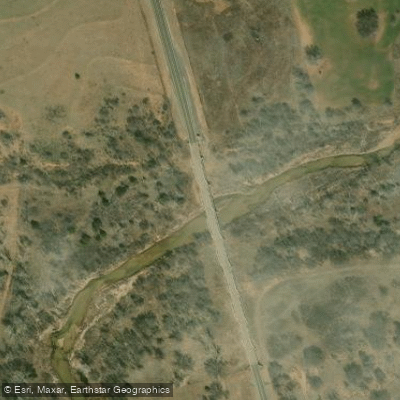
Paddle smarter with real-time insights
Whether you're en route and conditions shift or you're looking for the best spot based on current flows, we enable you to make informed decisions on the fly.








Find Places to Paddle

Over 400,000 Places to Paddle
Every user gets free access to launch points, boat ramps, and public property parcels.


Water and weather conditions (10 day forecast)
See the best times to paddle North Fork Red River and check the forecast before you go.
North Fork Red River near Carter, OK
All Flow Stations
Paddling near North Fork Red River
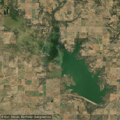
Waurika Lake

Red River
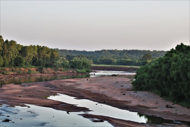
Washita River
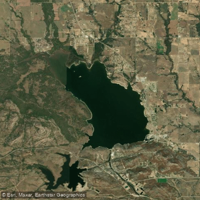
Lake Lawtonka
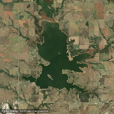
Lake Ellsworth
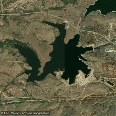
Elmer Thomas Lake
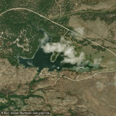
Quanah Parker Lake
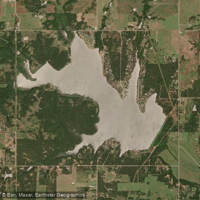
Lake Humphreys
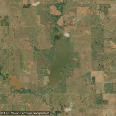
Lake Frederick
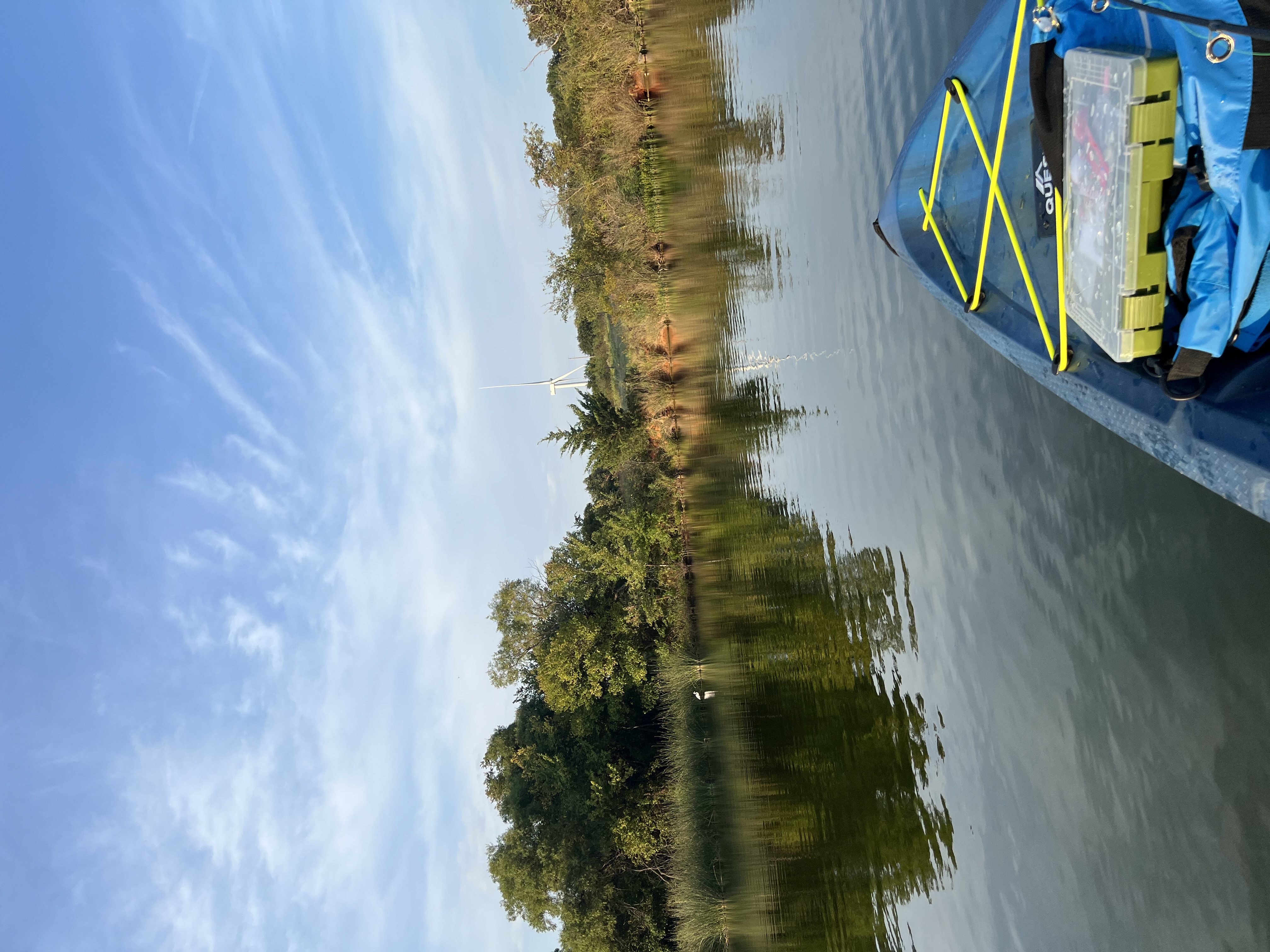
Taylor Lake
Explore Oklahoma waters
Top paddling waters
Popular Cities
Loading popular cities...
Explore near North Fork Red River
Access points
- Highway 34 Access
- North Fork Of Red River Bridge
- North Fork Of Red River Bridge
- North Fork Of Red River Bridge
- North Fork Of Red River Bridge
- N. Fork Red River Co Rd Bridge
- North Fork Of Red River Bridge
- North Fork Of Red River Bridge
- North Fork Of Red River Bridge
- N. Fork Of Red River Bridge
- N. Fork Red River Bridge
- North Fork Of Red River Bridge
- All 123 spots
Nearby waters
More in Oklahoma

Smarter Paddling Starts in the App.
Paddleways gives you everything you need to plan smarter, paddle better, and own every trip from first launch to takeout.