Pawnee Lake
Pawnee Lake
- Boat Ramps
- 5
- Access Points
- 7
- Campsites
- 0
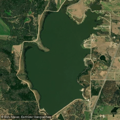
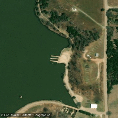
Constructed in 1932, Pawnee Lake encompasses 530 surface acres with a four-mile shoreline, located 2 miles north of Pawnee on State Highway 18. The lake features two boat ramp areas on the southwest and southeast sides, with the southwest dock being ADA accessible.
The lake's surface area and relatively compact shoreline make it manageable for day-trip exploration. The surrounding area is landscaped and features a sandy beach, offering pleasant views for paddlers. Multiple areas around the lake allow pull-off access, and fishing buoys mark brush piles throughout the water body.
Facilities include boat ramps, a boat dock, restrooms, and picnic areas with group shelters. The lake environment supports a significant bass population, so paddlers should expect to share the water with anglers. Additional recreational facilities adjacent to the lake include a 9-hole golf course and horse facilities.
The lake allows general boating activities across its waters, with the two boat ramps on the southern end serving as the main access points. The road circling the lake provides multiple options for putting in or taking out.
The lake serves as a municipal water body managed by the City of Pawnee, offering both recreational opportunities and practical utilities for the local community. Its history as a Depression-era construction project adds historical significance to the area. The lake is part of a larger recreational complex that includes camping facilities, with 150 full RV hookups and primitive campsites available for overnight stays.
Water access, boat ramps & amenities
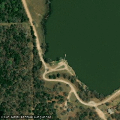
Learn how to get on Pawnee Lake. Uncover great paddling access points, boat ramps, and all the facilities you need for an unforgettable day on the water. Some locations shown may border or include private property. Always check property boundaries and applicable regulations before visiting. PaddleWays's Public & Private Land layer can help you plan your access with confidence.
Paddle smarter with real-time insights
Whether you're en route and conditions shift or you're looking for the best spot based on current flows, we enable you to make informed decisions on the fly.








Find Places to Paddle

Over 400,000 Places to Paddle
Every user gets free access to launch points, boat ramps, and public property parcels.


Water and weather conditions (10 day forecast)
See the best times to paddle Pawnee Lake and check the forecast before you go.
No forecast data available.
Paddling near Pawnee Lake
Lake Carl Blackwell

Arkansas River
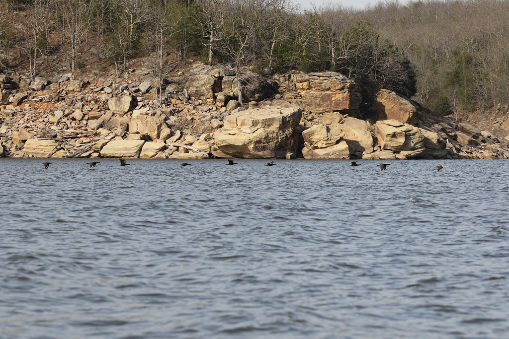
Keystone Lake
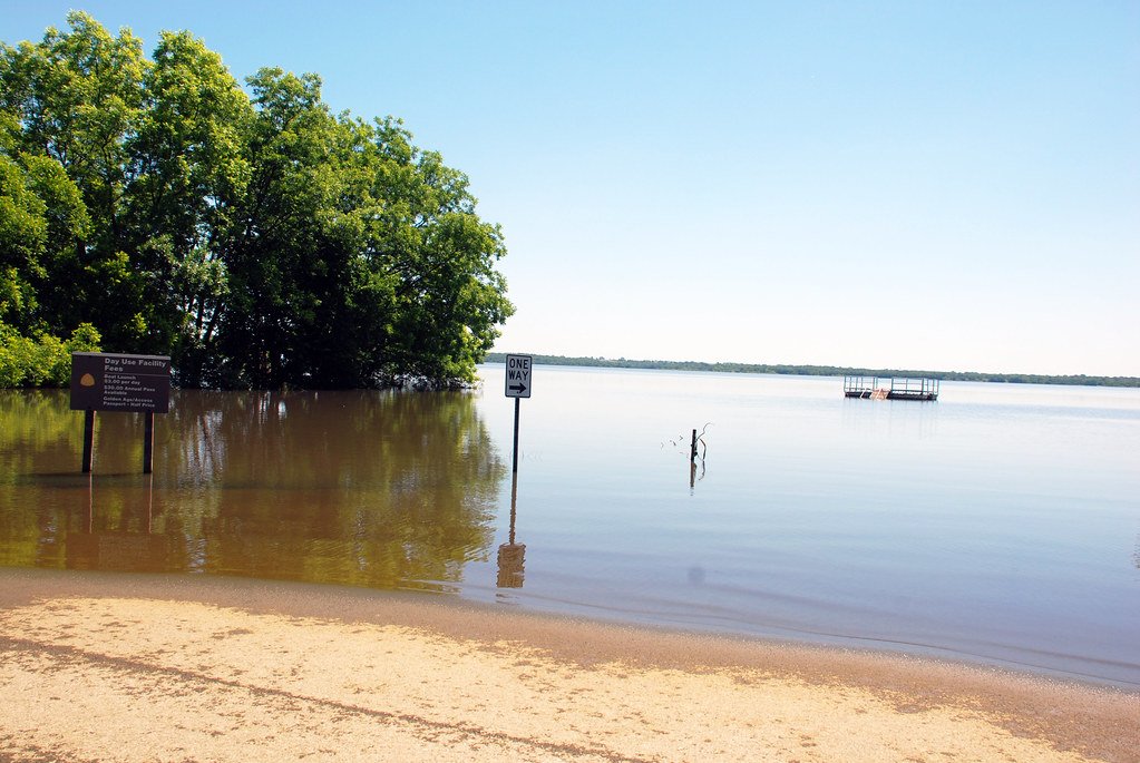
Kaw Lake
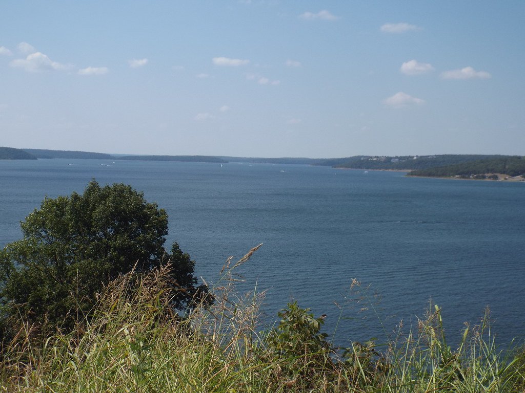
Skiatook Lake
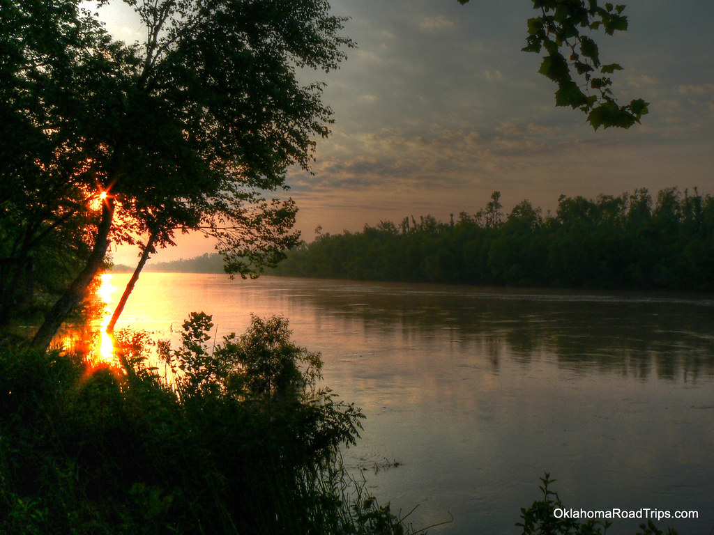
North Canadian River
Deep Fork
Lake McMurtry
Boomer Lake
Explore Oklahoma waters
Top paddling waters
Popular Cities
Loading popular cities...
Explore near Pawnee Lake
Access points
Nearby waters
More in Oklahoma

Smarter Paddling Starts in the App.
Paddleways gives you everything you need to plan smarter, paddle better, and own every trip from first launch to takeout.