Kaw Lake
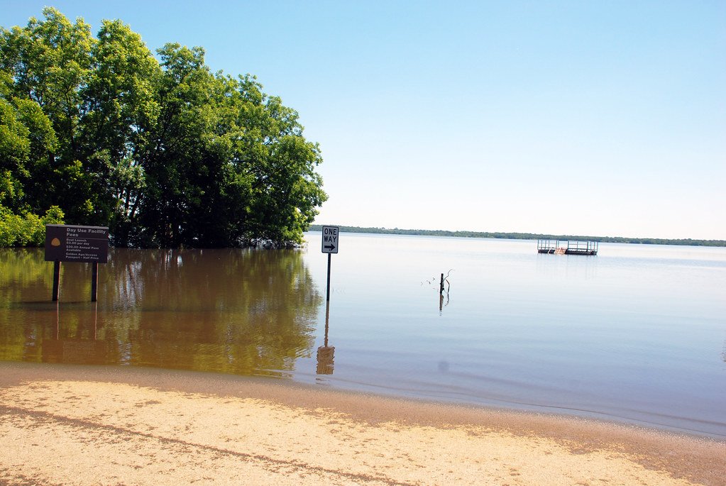
Kaw Lake
- Boat Ramps
- 21
- Access Points
- 29
- Campsites
- 3
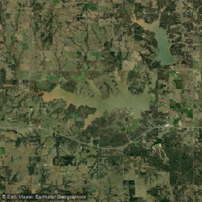
Kaw Lake, located in Kay and Osage Counties approximately 8 miles east of Ponca City on the Arkansas River, offers paddlers 17,000 surface acres of water and 168 miles of shoreline to explore. Impounded in 1976, this U.S. Army Corps of Engineers reservoir stretches across northeastern Oklahoma with depths reaching over 74 feet at normal pool elevation of 1010 feet.
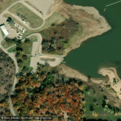
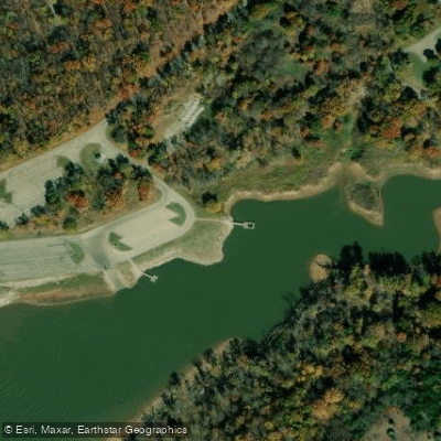
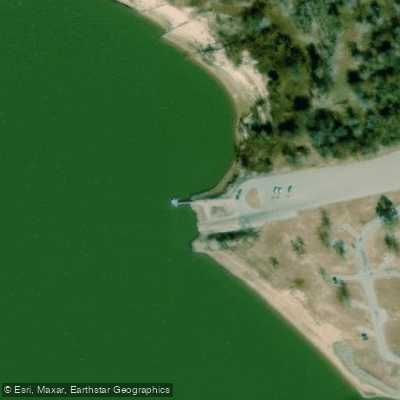
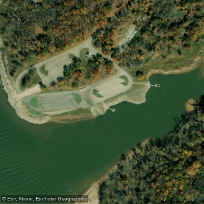
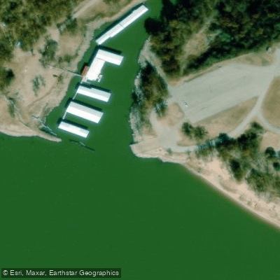
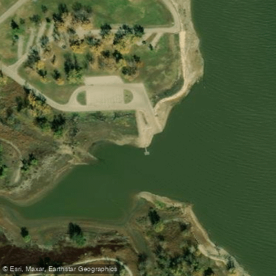
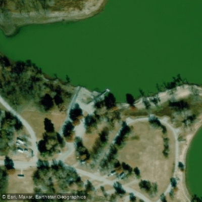
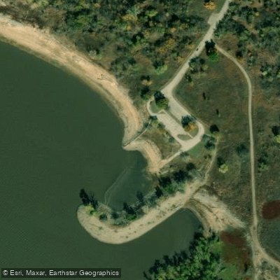
**Access Points**: Paddlers can launch from multiple public boat ramps managed by the Corps, including locations at Coon Creek, McFadden Cove, Osage Cove, Pioneer Park, Sandy Park, Sarge Creek, Washunga Bay, and Bear Creek areas. Several areas offer protected coves ideal for kayak launching. Two full-service marinas at McFadden Cove and Pioneer Park provide additional amenities. For river access, Traders Bend offers primitive access to the Arkansas River below the dam.
**Character**: The lake features diverse paddling environments, from protected coves perfect for beginners to expansive open water that can produce challenging conditions for experienced paddlers. The Arkansas River arm extends upstream, offering a more riverine paddling experience. Wind can create rough conditions on the main lake, making morning hours preferable for smaller watercraft.
**Scenery & Wildlife**: The eastern shore features scenic bluffs and the 12-mile Eagle View Hiking Trail. Kaw Lake is renowned for winter bald eagle viewing, traditionally hosting one of Oklahoma's largest concentrations. Spring brings white bass runs up tributary creeks. The lake's transition zone where eastern forests meet western prairies creates excellent wildlife viewing opportunities year-round.
**Considerations**: Open water paddlers should monitor weather carefully, as the lake's size allows substantial wave development. The Arkansas River section offers calmer, more protected paddling when lake conditions are rough.
Water access, boat ramps & amenities
Learn how to get on Kaw Lake. Uncover great paddling access points, boat ramps, and all the facilities you need for an unforgettable day on the water. Some locations shown may border or include private property. Always check property boundaries and applicable regulations before visiting. PaddleWays's Public & Private Land layer can help you plan your access with confidence.
Paddle smarter with real-time insights
Whether you're en route and conditions shift or you're looking for the best spot based on current flows, we enable you to make informed decisions on the fly.








Find Places to Paddle

Over 400,000 Places to Paddle
Every user gets free access to launch points, boat ramps, and public property parcels.


Water and weather conditions (10 day forecast)
See the best times to paddle Kaw Lake and check the forecast before you go.
No forecast data available.
Paddling near Kaw Lake

Arkansas River
Lake Carl Blackwell
Keystone Lake
Skiatook Lake
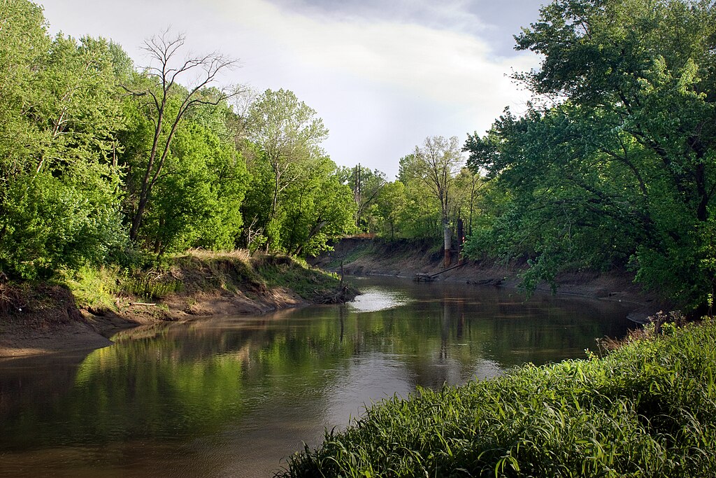
Caney River
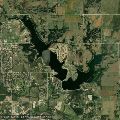
Lake Ponca
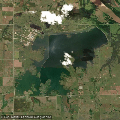
Sooner Lake
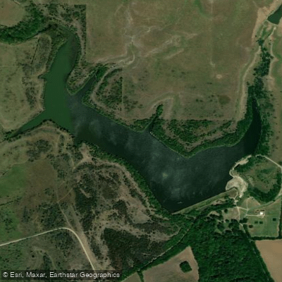
Fairfax City Lake
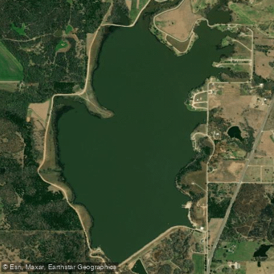
Pawnee Lake
Explore Oklahoma waters
Top paddling waters
Popular Cities
Loading popular cities...
Explore near Kaw Lake
Access points
Nearby waters
More in Oklahoma

Smarter Paddling Starts in the App.
Paddleways gives you everything you need to plan smarter, paddle better, and own every trip from first launch to takeout.