Pennington Creek
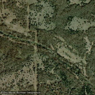
Pennington Creek
- Boat Ramps
- 2
- Access Points
- 3
- Campsites
- 26
Pennington Creek is a dynamic waterway flowing through Johnston County in southern Oklahoma. Originating in the limestone hills northwest of Tishomingo, this creek meanders southeastward, eventually joining the Washita River system. While its exact length is not specified, the creek offers a notable 9-mile paddling section that has gained popularity among whitewater enthusiasts.
The most renowned stretch of Pennington Creek runs from Highway 7 to Tishomingo, presenting paddlers with an exciting Class II-III(V) whitewater experience. This section is characterized by a mix of moderate rapids interspersed with potentially more challenging features. A highlight occurs at mile 2.5, where the creek widens and drops for about 300 yards, creating a continuous stretch of Class II-III rapids that spans the entire width of the waterway.
Paddlers attempting Pennington Creek should possess intermediate to advanced skills, as the varying difficulty levels demand proficiency in reading water and maneuvering through technical rapids. The creek's flow can be inconsistent, with lower water levels sometimes resulting in scratchy conditions that require careful navigation.
The best paddling times typically align with Oklahoma's wetter seasons, particularly spring and early summer when rainfall and snowmelt contribute to optimal water levels. However, flash flooding can occur, so checking current conditions and weather forecasts is crucial before embarking on any trip.
Pennington Creek flows through a scenic landscape near Tishomingo, offering paddlers glimpses of the region's diverse ecosystem. The surrounding area is home to various wildlife, including fish species that attract anglers to its waters.
Access to the creek is primarily via Highway 7 for put-in, with take-out in Tishomingo. The proximity to the town of Tishomingo makes this an accessible day trip for locals and visitors alike. The area's paddling community has shown interest in the creek, with discussions about its navigability appearing in kayaking forums and local outdoor groups.
Safety considerations are paramount when paddling Pennington Creek. The presence of Class V rapids, albeit rare, underscores the importance of proper equipment, including helmets and personal flotation devices. Paddlers should scout unfamiliar sections and be prepared for sudden changes in water conditions.
While multi-day trips are not common on Pennington Creek itself, its location near other paddling destinations like the Blue River (about 14 miles away) offers opportunities for extended whitewater adventures in the region. Pennington Creek, with its challenging rapids and scenic route, represents a hidden gem in Oklahoma's paddling scene, providing a thrilling experience for those seeking whitewater action in the heart of Johnston County.
Water access, boat ramps & amenities
Learn how to get on Pennington Creek. Uncover great paddling access points, boat ramps, and all the facilities you need for an unforgettable day on the water. Some locations shown may border or include private property. Always check property boundaries and applicable regulations before visiting. PaddleWays's Public & Private Land layer can help you plan your access with confidence.

Paddle smarter with real-time insights
Whether you're en route and conditions shift or you're looking for the best spot based on current flows, we enable you to make informed decisions on the fly.








Find Places to Paddle

Over 400,000 Places to Paddle
Every user gets free access to launch points, boat ramps, and public property parcels.


Water and weather conditions (10 day forecast)
See the best times to paddle Pennington Creek and check the forecast before you go.
Pennington Creek North of Mill Creek, OK
All Flow Stations
Paddling near Pennington Creek
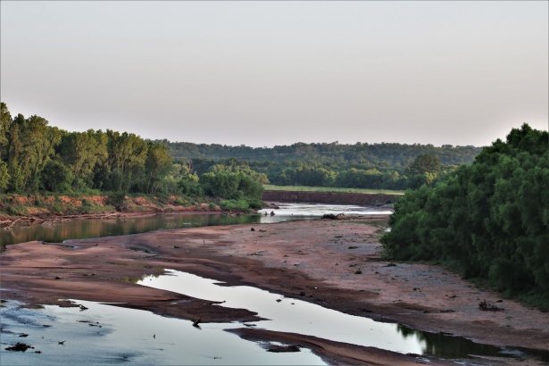
Washita River
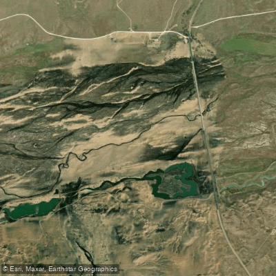
Canadian River

Red River
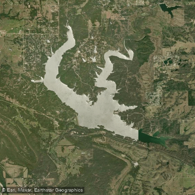
Lake of the Arbuckles
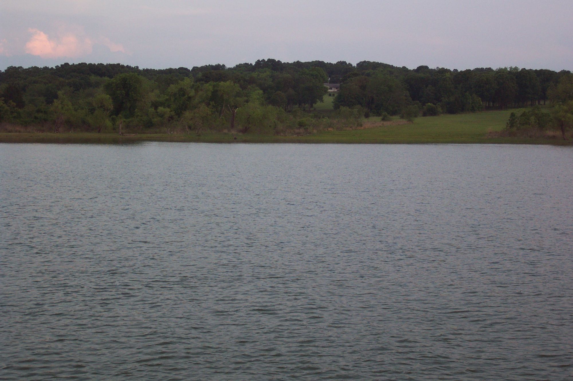
Lake Texoma
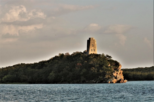
Lake Murray
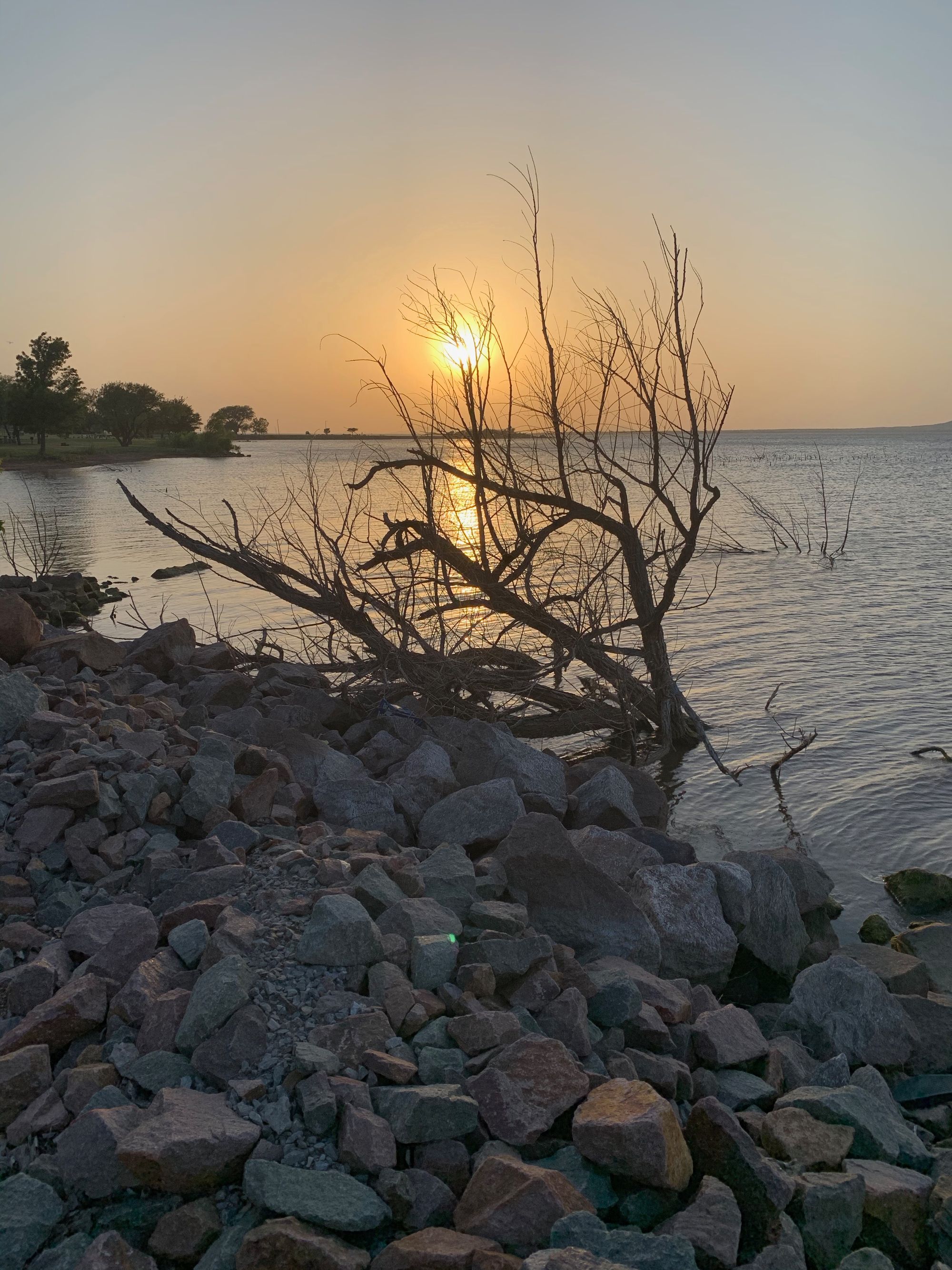
Lake Thunderbird
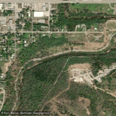
Rock Creek
Blue River
Explore Oklahoma waters
Top paddling waters
Popular Cities
Loading popular cities...
Explore near Pennington Creek
Access points
Nearby waters
More in Oklahoma

Smarter Paddling Starts in the App.
Paddleways gives you everything you need to plan smarter, paddle better, and own every trip from first launch to takeout.