Paddling in Big South Fork National River and Recreation Area
- National River
- Lakes
- 0
- Rivers
- 156
- Access
- 5
- Boat Ramps
- 5
- Shops
- 0
The Big South Fork of the Cumberland River cuts through 125,000 acres of the Cumberland Plateau, carving a gorge up to 600 feet deep through sandstone and shale across the Tennessee-Kentucky border.
The river begins at the confluence of the Clear Fork and New River near Oneida, Tennessee, flows north through that gorge, and enters Kentucky before emptying into the Cumberland.
Its main tributaries — the Clear Fork, New River, and North White Oak — add their own whitewater character to the mix.
The result is a free-flowing river system that swings between violent boulder gardens and long, glassy pools, all of it deep in roadless country with limited access and no cell service worth counting on.
The upper reach, from the confluence of the New River and Clear Fork down to Leatherwood Ford, runs about 6. 2 miles at Class II–IV and averages 20 feet per mile. This is the gorge section — cliff-lined, sandstone-walled, and committing.
The Class IV rapids cluster near the bottom: Double Falls, Washing Machine, and The Ell hit within 100 yards of each other.
The rock here is classic Cumberland Plateau sandstone, which means deep undercuts and sieves are real hazards; treat every rock as suspect until proven otherwise.
The gauge at Leatherwood Ford is the reference point locals use, and the river rises fast in rain. Leatherwood Ford is also the put-in for the longer wilderness float downstream.
The 8-mile section from Leatherwood Ford to Station Camp Creek includes Angel Falls, a serious drop two miles below the put-in that most paddlers portage.
From Station Camp Creek, the river runs roughly 17 miles to Blue Heron — a 2-to-3-day canoe camping trip through the most remote stretch of the gorge. No Business Creek enters along this reach and offers a side exploration on foot.
The preferred flow at the Stearns gauge for this section runs between 100 and 500 cfs; below that, the river can feel thin. Below Blue Heron, the character shifts. The 4.
8-mile run from Blue Heron to Yamacraw is moving water with Class I and borderline Class II rapids broken up by deep pools and boulder gardens — accessible, manageable, and runnable year-round at normal levels.
Below Yamacraw to Turkey Creek, the river flattens into essentially still water. Overnight trips inside the park require a backcountry permit, obtained from the Big South Fork ranger station. NPS regulations require a whistle in every boat.
Some access points demand four-wheel drive, and the park's remoteness is not a figure of speech — plan accordingly, carry satellite communication, and talk to rangers before committing to a multi-day float. The Big South Fork doesn't ease you in.
Even the mellow sections sit at the end of rough roads in a gorge that doesn't forgive poor planning. That's the point.
Top waters to paddle near Big South Fork National River And Recreation Area
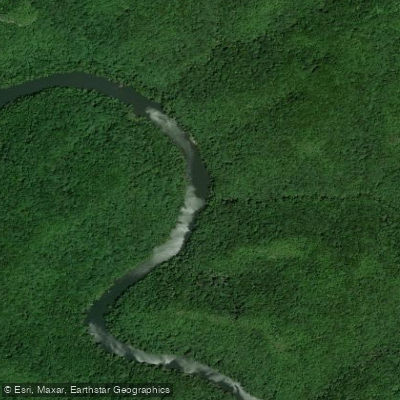
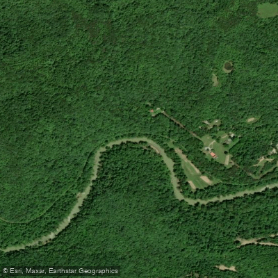
Water and weather conditions (10 day forecast)
See the best times to paddle Big South Fork National River and Recreation Area and check the forecast before you go.
No forecast data available.
Paddle smarter with real-time insights
Whether you're en route and conditions shift or you're looking for the best spot based on current flows, we enable you to make informed decisions on the fly.







Paddling near Big South Fork National River and Recreation Area
Loading...
Other parks in Tennessee
Gateway towns
Where to base yourself for paddling in Big South Fork National River and Recreation Area.
- OneidaTN
Named gateway town for the park, with lodging and services near the Tennessee side of the recreation area.
- StearnsKY
Home to the Big South Fork Scenic Railway depot and the Kentucky entrance to the park's Blue Heron area.
Seat of Fentress County, one of the Tennessee counties the NPS lists for visitor accommodations near the park.
Seat of McCreary County, the Kentucky county the NPS lists as a lodging and services hub for the park's north side.
Big South Fork National River and Recreation Area paddling rules
The park's own rules, on top of Tennessee licenses and regulations. Limits, fees and closures change, so check the park's page before you go.

Wear a PFD on the Water
Every person on board needs a life jacket and a sound-producing device. If you paddle after dark, carry a white light you can turn on to avoid collisions.

Paddle in Groups of Three
Travel with at least three boats and keep the boat behind you in sight at all times. Never paddle alone in this remote river corridor.

Check River Levels First
Conditions on the Big South Fork change quickly and dramatically. Review current gauge readings before you launch so you know what class of water to expect.

Know Your Skill Level
Open canoes may not be able to run certain sections at all. Covered canoe and kayak paddlers should be able to Eskimo roll before attempting the gorge.
Explore Big South Fork National River and Recreation Area
Top paddling waters
Popular Cities
Loading popular cities...

Smarter Paddling Starts in the App.
Paddleways gives you everything you need to plan smarter, paddle better, and own every trip from first launch to takeout.