Big South Fork Cumberland River
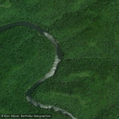
Big South Fork Cumberland River
- Boat Ramps
- 7
- Access Points
- 10
- Campsites
- 8
The Big South Fork Cumberland River is a premier paddling destination in the southeastern United States, offering a diverse range of experiences for canoeists and kayakers. Located primarily in Tennessee and Kentucky, this scenic river flows through the heart of the Big South Fork National River and Recreation Area, carving dramatic gorges and showcasing stunning sandstone cliffs. The river system begins at the confluence of the New River and Clear Fork in Tennessee, flowing northward for approximately 76 miles before joining Lake Cumberland in Kentucky.
Along its course, paddlers encounter a variety of water conditions, from placid pools to challenging rapids, making it suitable for a wide range of skill levels. For experienced whitewater enthusiasts, the 11-mile stretch from Burnt Mill Bridge to Leatherwood Ford offers some of the most exhilarating paddling in Tennessee, with Class III-IV rapids set against a backdrop of towering cliffs. This section is best attempted by skilled paddlers and is particularly popular in spring when water levels are optimal.
Recreational paddlers and families can enjoy gentler sections, such as the scenic 4.8-mile trip from Blue Heron to Yamacraw in Kentucky. This Class I-II run is especially beautiful in autumn when the surrounding forests burst into vibrant colors. For those seeking a longer adventure, the 19-mile wilderness paddle from Station Camp to Blue Heron offers a perfect blend of mild whitewater and stunning scenery, ideal for a two-day journey.
The river's ecosystem supports a rich variety of flora and fauna. Paddlers may spot white-tailed deer, wild turkeys, and even black bears along the forested banks. The clear waters are home to numerous fish species, making the Big South Fork a popular destination for anglers as well.
Notable landmarks along the river include the historic Blue Heron Mining Community, a testament to the area's coal mining heritage, and the impressive O&W Bridge, a relic of the region's logging era. Paddlers should be aware of two significant hazards: Angel Falls Rapid and Devils Jump, both of which require portaging for safety.
Access points are numerous, with popular put-ins and take-outs at Leatherwood Ford, Station Camp, Blue Heron, Yamacraw, and Alum Ford. The nearby towns of Oneida, Tennessee, and Whitley City, Kentucky, serve as gateways to the river, offering supplies and accommodations for visitors.
Paddlers should be mindful of seasonal variations in water levels, with spring typically offering the most reliable flows. Summer can bring lower water levels, particularly in the upper sections, while fall provides a unique paddling experience with cooler temperatures and colorful foliage. For those planning multi-day trips, the 27-mile journey from Leatherwood Ford to Blue Heron is a classic option, showcasing the best of what the Big South Fork has to offer.
Overnight camping is available at designated sites along the river, but paddlers should obtain the necessary backcountry permits. Safety is paramount on the Big South Fork. All paddlers should wear appropriate personal flotation devices and be prepared for sudden changes in weather and water conditions. It's advisable to check current river levels and forecasts before embarking on any trip.
Whether you're seeking heart-pounding whitewater action or a peaceful float through pristine wilderness, the Big South Fork Cumberland River offers a paddling experience that will leave you with lasting memories of this remarkable waterway.
Water access, boat ramps & amenities
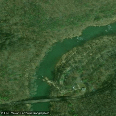
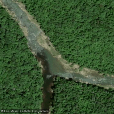
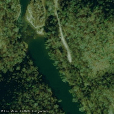
Learn how to get on Big South Fork Cumberland River. Uncover great paddling access points, boat ramps, and all the facilities you need for an unforgettable day on the water. Some locations shown may border or include private property. Always check property boundaries and applicable regulations before visiting. PaddleWays's Public & Private Land layer can help you plan your access with confidence.
Paddle smarter with real-time insights
Whether you're en route and conditions shift or you're looking for the best spot based on current flows, we enable you to make informed decisions on the fly.








Find Places to Paddle

Over 400,000 Places to Paddle
Every user gets free access to launch points, boat ramps, and public property parcels.


Water and weather conditions (10 day forecast)
See the best times to paddle Big South Fork Cumberland River and check the forecast before you go.
SOUTH FK CUMBERLAND RIVER AT LEATHERWOOD FORD, TN
All Flow Stations
Paddling near Big South Fork Cumberland River
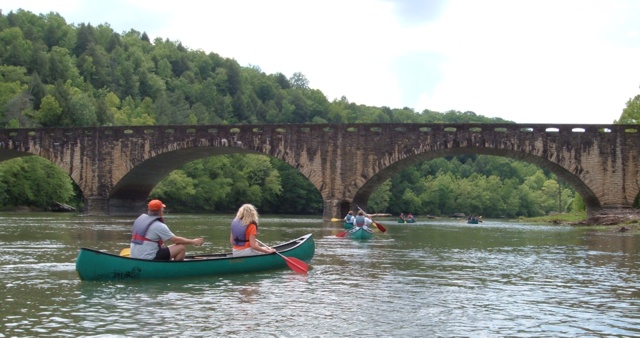
Cumberland River
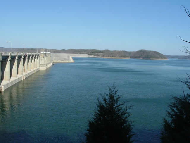
Lake Cumberland
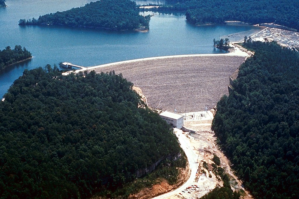
Laurel River
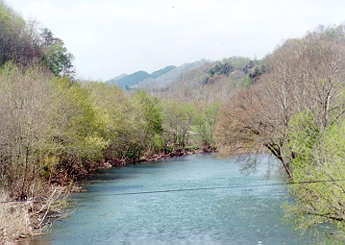
Clinch River
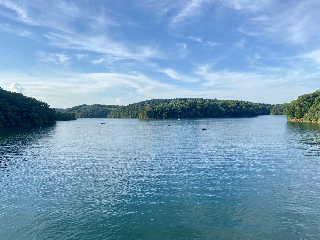
Norris Lake
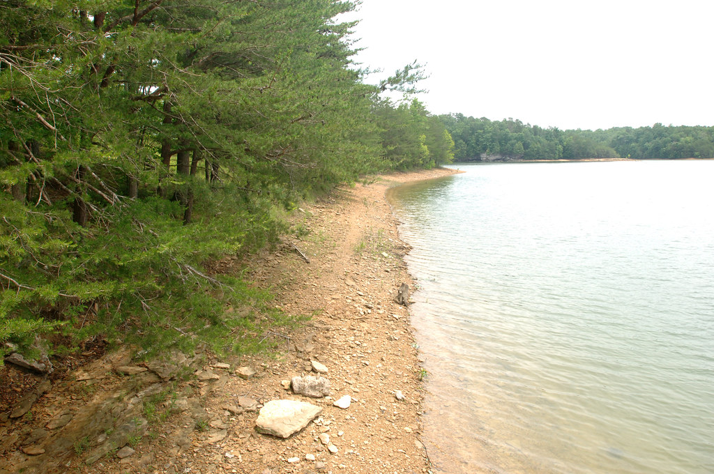
Laurel River Lake
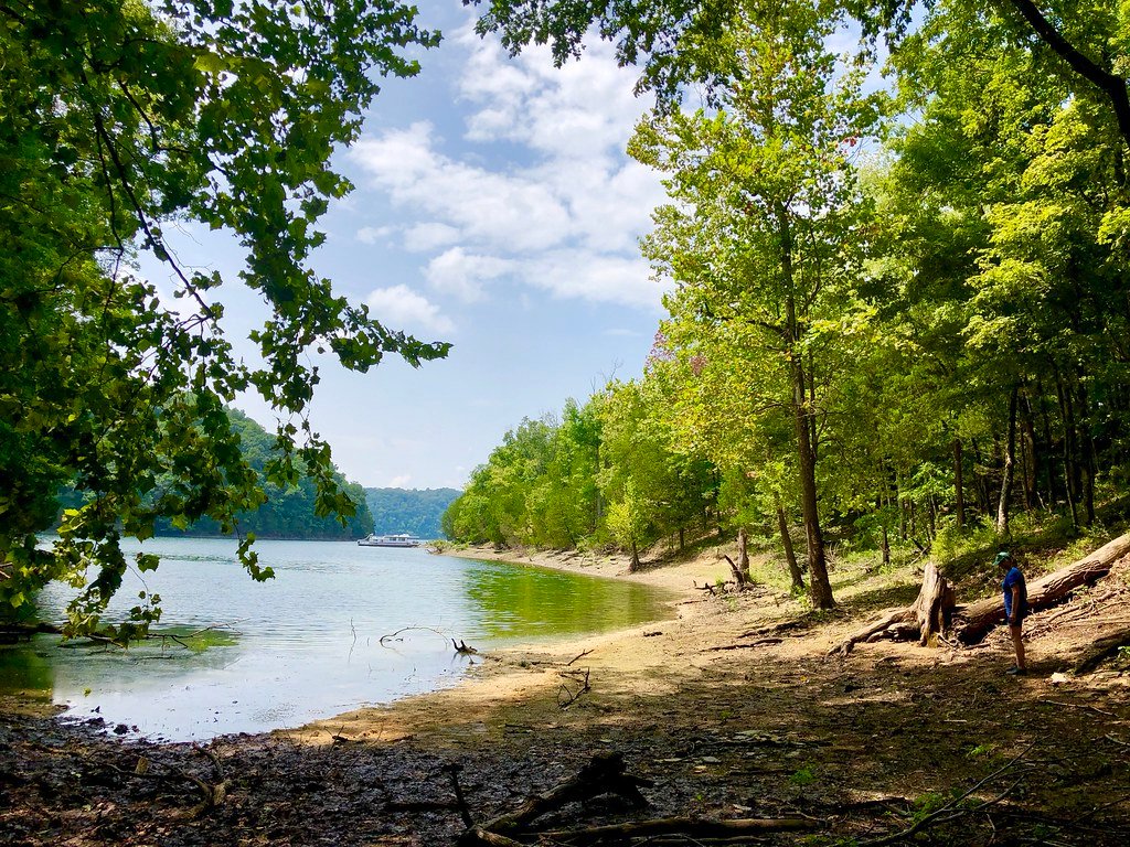
Dale Hollow Lake
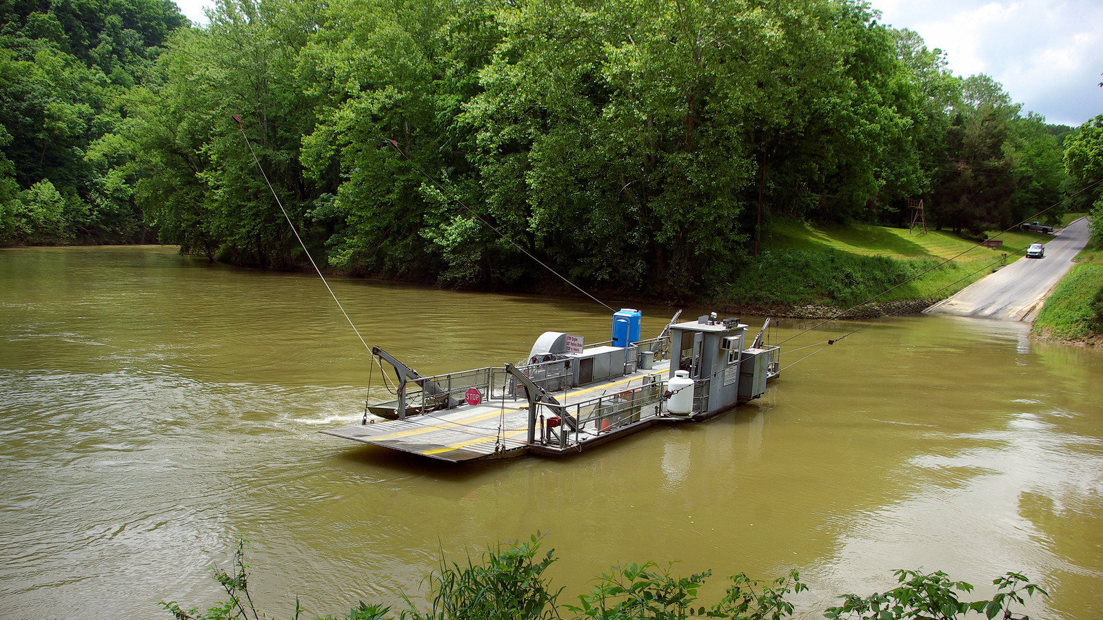
Green River
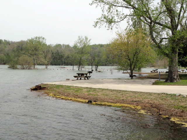
Obey River
Explore Tennessee waters
Top paddling waters
Popular Cities
Loading popular cities...
Explore near Big South Fork Cumberland River
Access points
- Blue Heron Boat Ramp
- Worley Boat Ramp
- Yamacraw Boat Ramp
- Alum Ford Boat Ramp
- Echo Point Recreation Area Boat Ramp
- Garland Bend Hemlock Landing Boat Ramp
- Jonesville Boat Ramp
- Leatherwood Ford Access
- Confluence of Clear Fork and New River Access
- Station Camp Access
- S. Fork Of Cumberland Ri Bridge
- Unnamed Stream Bridge
- All 38 spots
Nearby waters
More in Tennessee

Smarter Paddling Starts in the App.
Paddleways gives you everything you need to plan smarter, paddle better, and own every trip from first launch to takeout.