Paddling in Obed Wild and Scenic River
- National Wild & Scenic River
- Lakes
- 0
- Rivers
- 33
- Access
- 3
- Boat Ramps
- 1
- Shops
- 0
The Obed Wild and Scenic River protects four streams carved deep into the sandstone of the Cumberland Plateau in east-central Tennessee: the Obed River, Daddy's Creek, Clear Creek, and the Emory River.
Together they make up 45 miles of one of the last free-flowing river systems in the eastern United States.
The gorges these streams have cut run as deep as 500 feet, and the huge sandstone boulders that have tumbled from those walls now sit mid-channel, creating the rapids that define paddling here.
This is not a park with a gentle introductory section tucked beside the difficult stuff — the water is serious throughout, and the NPS says plainly that paddlers with limited whitewater experience have significant preparation ahead of them before they belong on these streams.
The Obed Canyon run — from the Devil's Breakfast Table put-in on Daddy's Creek down to Nemo Bridge — covers roughly 12 miles at Class III–IV, with a gradient that steepens to nearly 46 feet per mile through its crux miles.
The American Whitewater description names Ninety Right-Ninety Left, OhMyGod! , Rockgarden, Submarine Falls, Keep Right, and Widowmaker as the landmarks along the way.
Clear Creek enters mid-run, and the Emory confluence comes near the end, just a mile above the Nemo Bridge take-out.
The gauge to watch is the Obed at Lancing; the run needs better than 500 cfs to be worth the trip, and the paddle-out on the lower Emory gets tedious at lower flows.
Season is winter and spring, rain-dependent — these streams rise fast and fall fast, and the NPS notes the river can come up 20 feet without warning. The logs balanced on top of house-sized boulders are not decoration; they floated there.
Cold water is a year-round reality on these streams, not just a shoulder-season concern.
Hypothermia is a genuine risk even on mild days if you swim, and the hydraulics here — aerated, recirculating, positioned below difficult drops — can be extremely difficult to escape.
Undercut rocks and sieves are common, often immediately downstream of the hardest moves. Foot entrapment is a hazard in any swift current.
These are not abstract warnings: the terrain that makes the Obed spectacular is the same terrain that makes self-rescue hard.
Because this is a unit of the National Park System, authorized outfitters and guide services operating inside the park are required to carry a signed NPS permit, available for inspection by a ranger.
Before any trip — shuttle logistics, parking, gate schedules — a call to the visitor center in Wartburg is time well spent. The Obed rewards paddlers who come prepared and read the water honestly.
It has stayed wild because the Cumberland Plateau kept settlers out; the same ruggedness keeps casual visitors off the river today.
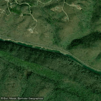
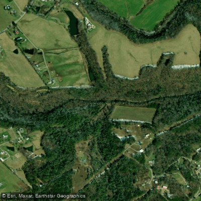
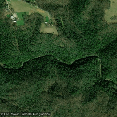
Top waters to paddle near Obed Wild And Scenic River
Water and weather conditions (10 day forecast)
See the best times to paddle Obed Wild and Scenic River and check the forecast before you go.
No forecast data available.
Paddle smarter with real-time insights
Whether you're en route and conditions shift or you're looking for the best spot based on current flows, we enable you to make informed decisions on the fly.







Paddling near Obed Wild and Scenic River
Loading...
Other parks in Tennessee
Gateway towns
Where to base yourself for paddling in Obed Wild and Scenic River.
- WartburgTN
The nearest town to the park, serving as the primary base with access to trailheads and the river.
- HarrimanTN
Nearby town with lodging options including multiple hotels that serve visitors to the park.
Larger town on the Cumberland Plateau with lodging and services for visitors approaching from the west.
Obed Wild and Scenic River paddling rules
The park's own rules, on top of Tennessee licenses and regulations. Limits, fees and closures change, so check the park's page before you go.

Whitewater Experience Required
All sections of the park's streams have potentially lethal hazards. Only paddlers with extensive whitewater experience should attempt them. Go with someone who knows the specific section you plan to run.

Wear Proper Safety Gear
A whitewater lifejacket, helmet, throw rope, spare paddle, and wetsuit or drysuit are all considered essential. Your boat must be designed for whitewater use.

Check River Levels Before You Go
Stream levels can rise rapidly and without warning. Check current gauge readings for the Emory, Obed, Clear Creek, and Daddys Creek gauges before launching. Call 1-800-238-2264 or use the real-time data link for current readings.

Carry Survival Gear
The gorges are extremely remote and cell phones do not work there. Bring food, water, a light, a fire source, and a first aid kit in case you are forced to spend an unplanned night outdoors.
Explore Obed Wild and Scenic River
Top paddling waters
Popular Cities
Loading popular cities...

Smarter Paddling Starts in the App.
Paddleways gives you everything you need to plan smarter, paddle better, and own every trip from first launch to takeout.