Paddling in Grand Canyon National Park
- National Park
- Open 24 hours
- Lakes
- 14
- Rivers
- 101
- Access
- 2
- Boat Ramps
- 1
- Shops
- 0
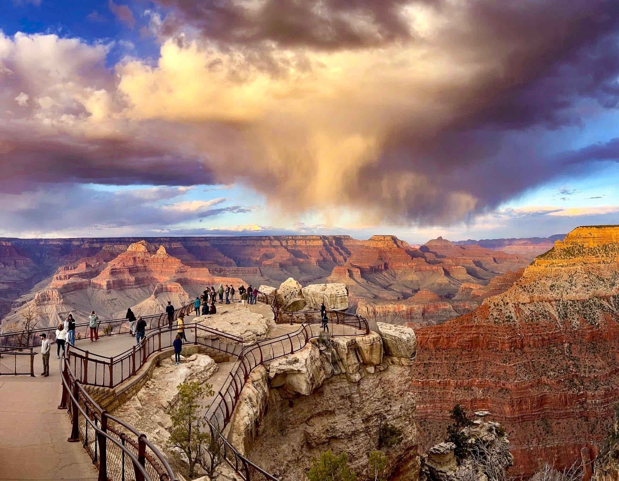
The Colorado River through Grand Canyon National Park is one of the most consequential stretches of moving water in North America — a 226-mile corridor cut through layered stone, running from Lees Ferry at the top of Marble Canyon to the western end of the park.
The paddling here is defined almost entirely by that river: big whitewater, big commitment, and a permit system that reflects both the demand and the stakes. The Colorado through the canyon is a highly technical river.
Commercial trips run it on oar-powered, paddle, motor, or dory rigs; private trips are self-guided and noncommercial, meaning you cannot hire guides on a private permit.
Those private permits come through a weighted lottery run by the National Park Service, with applications accepted during the first three weeks of February each year. Competition is real — many applicants wait multiple years before drawing a date.
The NPS requires that at least one member of each private trip have the experience and skills the river demands, and that requirement is not a formality.
Off-river camping by river trip participants requires a backcountry permit from the park's Backcountry Information Center, separate from the river permit itself. Packrafting that doesn't occur under a river permit also requires a backcountry permit.
Printed permits must be carried in the backcountry and displayed at camp.
Just upstream of the park, the 15-mile stretch of Colorado River below Glen Canyon Dam to Lees Ferry — managed by Glen Canyon National Recreation Area — gives paddlers a taste of the corridor without the full canyon commitment.
Flow on that stretch varies with dam releases; the Bureau of Reclamation posts daily outflow figures. A free backcountry river permit is required at the Lees Ferry launch ramp for that section.
Backhaul services operate from Lees Ferry upstream toward the dam, with Petroglyph Beach a common drop-off for a day paddle back down. The Grand Canyon does not ease you in.
The river earns its reputation on every trip, and the permit system exists because the canyon demands it.
Top waters to paddle near Grand Canyon National Park
Water and weather conditions (10 day forecast)
See the best times to paddle Grand Canyon National Park and check the forecast before you go.
No forecast data available.
Park alerts & road status
Closures and conditions Grand Canyon National Park has posted, from the National Park Service.
Checking the park's alerts…
Hours & fees
When Grand Canyon National Park is open and what it costs to get in, from the National Park Service.
Hours
Open 24 hoursBoth Desert View (East Entrance) and South Entrance are Open 24 hours/day and 7 Days/week. Credit cards, and America the Beautiful passes are accepted for entry. Cash is not accepted at this time. The South Entrance Station, near Tusayan, Arizona, receives the most traffic, an experiences long lines and up to 2 hour wait times between 9:30 am and 4 pm. The East Entrance at Desert View - 32 miles east of the village (accessed via US 89 to Cameron, AZ, then west on SR 64, usually has shorter wait times.
Entrance fees
- Entrance - Private Vehicle$35
- Admits one single, private, non-commercial vehicle and all its passengers, up to a 15 person passenger van. Organized non-commercial groups over 16 passengers require different charges. Commercial groups are not eligible for the vehicle permit.
- Entrance - Motorcycle$30
- Valid for 7 days. Admits up to 2 private, non-commercial motorcycles with up to 4 total passengers.
- Entrance - Per Person$20
- Individual ($20 valid for 7 days): for bicyclists, hikers, and pedestrians.
- Nonresident$100
- Each non-US resident aged 16 and older visiting Grand Canyon National Park must pay a $100 nonresident fee (in addition to the standard entrance fee), unless admitted with an Annual or America the Beautiful Pass. This includes nonresidents entering as part of a commercial tour group, commercial use authorization (CUA) group, or concessioner tour group.
Parking & getting around
Where to leave the car in Grand Canyon National Park. Lots fill early on busy days, so plan where you will park before you head for the water.
Desert View Parking Lot
This is the only parking area for Desert View. It is split into two lots. As you enter Desert View, the lot on the right is for cars only. The lot of the left is for buses and RVs.
Duck on a Rock Parking Lot
Located on Desert View Drive at mile marker 246, this unmarked parking lot is just east of Yaki Point.
Grandview Point Parking Lot
Located along Desert View Drive, this parking lot and viewpoint offers panoramic views of Grand Canyon from east to west, including several bends of the Colorado River to the east. This parking lot is located in between Moran Point and Duck on a Rock overlook. The historic Grandview Trail begins here.
Hermit's Rest Parking Lot
This lot is at the end of Hermit's Rest Road. It starts as a small paved lot. There is a dirt road that leads to a larger dirt lot with more spaces. Hermit's Rest Road is closed to private vehicles March through November. It is open to private vehicles December to February. If you park in this parking lot, do not block Shuttle Bus Service.
Lipan Point Parking Lot
Located on Desert View Drive, the parking area is west of the Desert View Watchtower. From this viewpoint can be seen several points of interest. Hance Rapid is one of the many powerful whitewater rapids along the Colorado River. Unkar Delta was once home to ancestral Puebloan people and is the site of active archeological study. The Grand Canyon Supergroup is a unique rock strata at Grand Canyon, visible to this extent from only a few places on the South Rim.
Mohave Point Parking Lot
This is a pull through lot designed for oversize vehicles. Mohave Point is located along Hermit Road. Hermit Road is closed to private vehicles March through November. During that time, the road is only accessible via shuttle bus, walking, or biking. Hermit Road is open to private vehicles November through February. If parking here, do not block the shuttle bus stop.
Moran Point Parking Lot
Located along Desert View Drive, west of the Desert View Watchtower, in between the Tusayan Museum and Grandview Point. It is a small parking lot with an overlook. There are three main rock groups visible from this parking lot.
Navajo Point Parking Lot
Just a few minutes west of the Desert View Watchtower, this viewpoint offers a great view of the watchtower as well as panoramic vistas to the west and a view north up the Colorado River. Navajo Point is the highest overlook on the South Rim - unless one is standing on the top observation deck of the watchtower itself. The top of the tower measures slightly higher.
No Name Parking Lot
A small, unmarked parking lot west of Desert View. It is located between Lipan Point and the Tusayan Pueblo Archaeology Site at mile marker 263.
North Rim Campground Parking Lot
This parking lot is located at the end of a side road the leads to the North Rim Campground, general store, and other facilities. Follow signs to reach the North Rim Campground to reach this parking lot. It is usually empty earlier in the day but fills up later in the day.
Getting around
South Rim: Open all year, is located 60 miles north of Williams, Arizona (via route 64 from Interstate 40) and 80 miles northwest of Flagstaff (via route 180). Grand Canyon lies entirely within the state of Arizona. ---- North Rim: Select areas are open to public access between Oct 1 and Nov 14. View the park's news releases for details. The North Rim entrance station is located 30 miles south of Jacob Lake, AZ, on Highway 67; the actual rim of the canyon is an additional 14 miles south.
Directions on nps.govPaddle smarter with real-time insights
Whether you're en route and conditions shift or you're looking for the best spot based on current flows, we enable you to make informed decisions on the fly.







Paddling near Grand Canyon National Park
Loading...
Other parks in Arizona
Gateway towns
Where to base yourself for paddling in Grand Canyon National Park.
- TusayanAZ
The closest town to the South Rim, just outside the South Entrance, with hotels, dining, and air tour operators; a free shuttle connects it to the park in summer.
The main regional hub for South Rim visits, with broad lodging, restaurants, an Amtrak station, and access to surrounding monuments.
- WilliamsAZ
A historic Route 66 town south of the park and the departure point for the Grand Canyon Railway, which runs daily to Grand Canyon Village.
- KanabUT
A small outpost on the Utah–Arizona border that serves as a base for the North Rim as well as nearby Zion National Park.
Grand Canyon National Park paddling rules
The park's own rules, on top of Arizona licenses and regulations. Limits, fees and closures change, so check the park's page before you go.
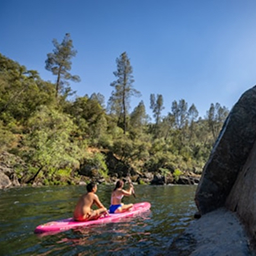
River Permits Are Required
All noncommercial whitewater trips through Grand Canyon require a permit. Lees Ferry to Diamond Creek trips are awarded through a weighted lottery, while Diamond Creek launch trips are available first-come, first-served up to one year in advance.
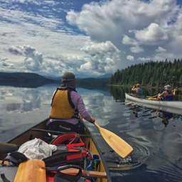
Wear Your PFD at All Times
Every person on the river must wear a properly fastened, USCG-approved Type I, III, or V life jacket rated for whitewater rafting, canoeing, or kayaking. General boating and ski vests are prohibited.
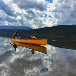
Spare Paddles Required on Kayak Trips
Kayak and canoe groups must carry one extra paddle for every four boats. If your group has fewer than four kayaks or canoes, you still need one spare paddle.
Off-River Camping Needs a Permit
Any overnight camping away from the river by river trip participants requires a backcountry permit from the Backcountry Information Center. Packrafting outside of a river permit also requires one.
Explore Grand Canyon National Park
Top paddling waters
Popular Cities
Loading popular cities...
Smarter Paddling Starts in the App.
Paddleways gives you everything you need to plan smarter, paddle better, and own every trip from first launch to takeout.