Little Colorado River
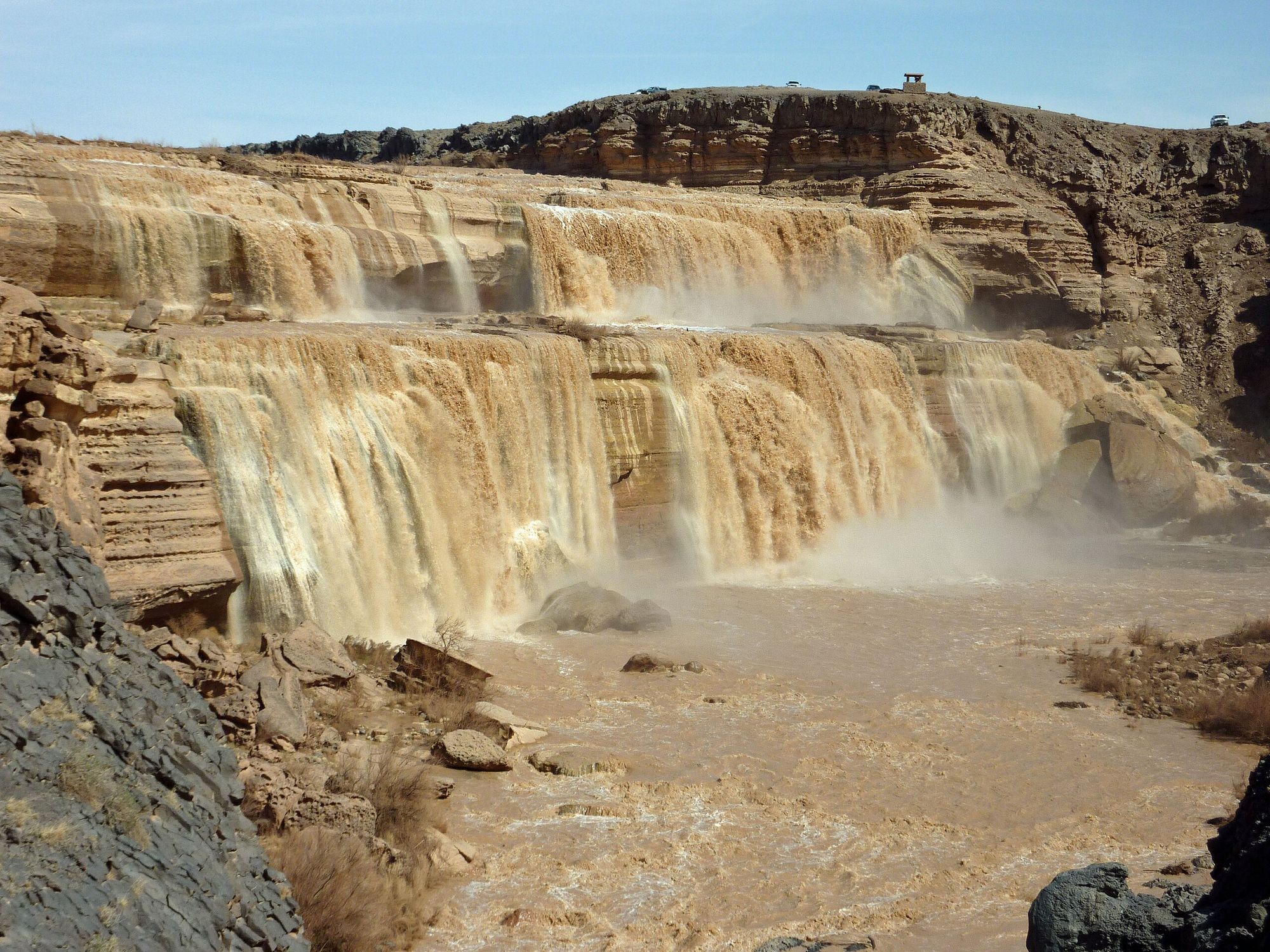
Little Colorado River
- Boat Ramps
- 0
- Access Points
- 4
- Campsites
- 28
The Little Colorado River is a significant tributary of the Colorado River, flowing through northeastern Arizona before joining the main Colorado in the Grand Canyon. This scenic waterway begins in the White Mountains of eastern Arizona and travels approximately 340 miles, cutting through the stunning landscapes of the Painted Desert and Navajo Nation lands.
The river offers a range of paddling opportunities, from challenging whitewater sections to more serene flatwater stretches. The most renowned section is the epic 51-mile journey through the Little Colorado River Gorge, which begins near Cameron and ends at the confluence with the Colorado River. This remote and demanding run features Class V+ rapids and canyon depths exceeding 3,000 feet in places, making it a bucket-list trip for expert paddlers seeking solitude and breathtaking scenery.
For those looking for less intense experiences, the river also offers moderate Class II-III sections, such as the stretch below Grand Falls to above Black Falls. Near the Grand Canyon, there's a popular 1.1-mile out-and-back float trip that allows visitors to experience the river's stunning turquoise waters up close. The best time to paddle the Little Colorado is typically from February through April when water levels are most reliable. However, seasonal rainstorms can produce adequate flows at any time of year, adding an element of unpredictability to trip planning.
The river's ecosystem supports a diverse array of flora and fauna adapted to the arid environment. Paddlers may encounter desert bighorn sheep, various bird species, and riparian vegetation that contrasts sharply with the surrounding desert landscape. Notable landmarks along the river include Grand Falls, an impressive 185-foot waterfall nicknamed the "Chocolate Falls" due to its brown color during high flow. The confluence with the Colorado River is another significant point of interest, marking the dramatic meeting of the turquoise Little Colorado with the larger river.
Access to many sections of the Little Colorado requires careful planning and often long drives on dirt roads. The town of Cameron serves as a key access point for the upper sections, while Lees Ferry is an important take-out location near the confluence. The Little Colorado holds great cultural and spiritual significance for several Native American tribes, including the Hopi, Navajo, and Zuni. Paddlers should be respectful of these cultural connections and be aware that some areas may have restricted access.
Safety is paramount when paddling the Little Colorado. The remote nature of many sections means that self-sufficiency and proper equipment are essential. Paddlers should be prepared for wilderness conditions, potential flash floods, and challenging rapids in certain sections. For those seeking multi-day adventures, the Little Colorado River Gorge offers an unforgettable expedition-style trip. This journey typically takes 3-5 days and requires extensive experience and careful planning due to its remoteness and difficulty.
Whether you're an expert kayaker looking to tackle world-class whitewater or a casual paddler hoping to float in turquoise waters, the Little Colorado River offers a unique and memorable Arizona paddling experience. Its varied character, from placid pools to roaring rapids, set against the backdrop of the Southwest's iconic red rock scenery, makes it a true gem of the American Southwest.
Water access, boat ramps & amenities
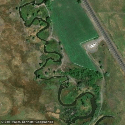
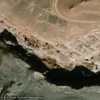
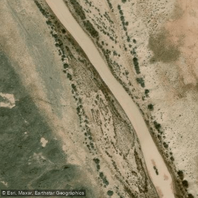
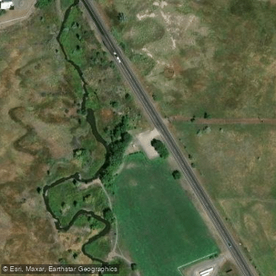
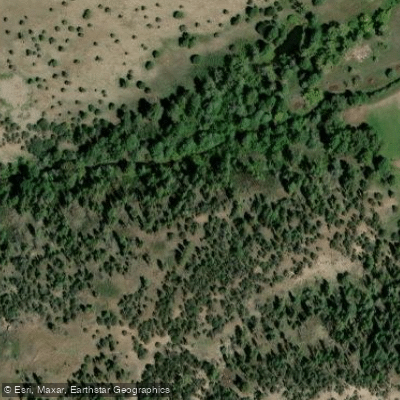
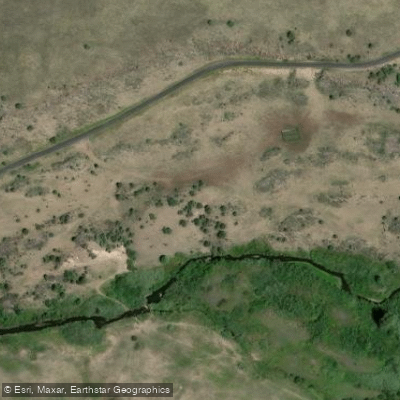
Learn how to get on Little Colorado River. Uncover great paddling access points, boat ramps, and all the facilities you need for an unforgettable day on the water. Some locations shown may border or include private property. Always check property boundaries and applicable regulations before visiting. PaddleWays's Public & Private Land layer can help you plan your access with confidence.
Paddle smarter with real-time insights
Whether you're en route and conditions shift or you're looking for the best spot based on current flows, we enable you to make informed decisions on the fly.








Find Places to Paddle

Over 400,000 Places to Paddle
Every user gets free access to launch points, boat ramps, and public property parcels.


Water and weather conditions (10 day forecast)
See the best times to paddle Little Colorado River and check the forecast before you go.
LITTLE COLORADO RIVER AT GREER, AZ
All Flow Stations
Paddling near Little Colorado River
Oak Creek
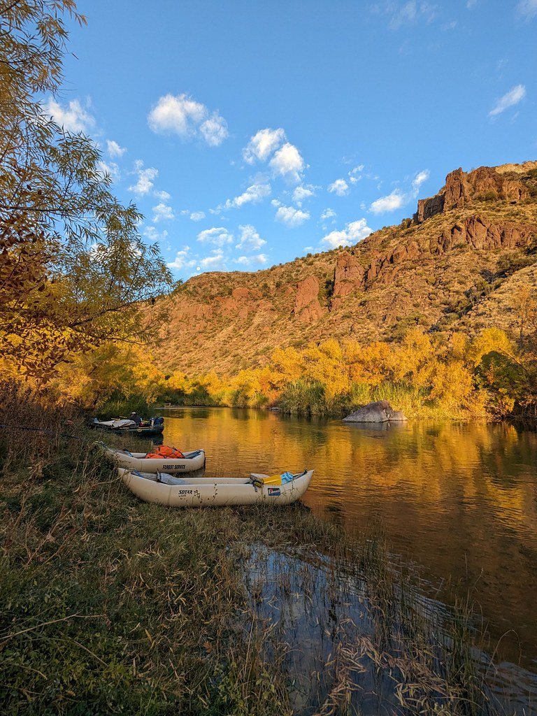
Verde River
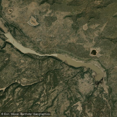
Upper Lake Mary
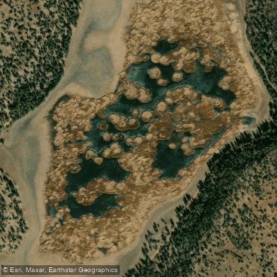
Marshall Lake
Walnut Creek
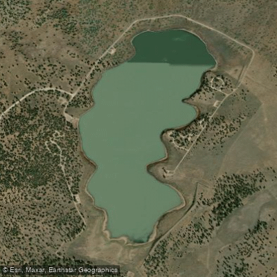
Ashurst Lake
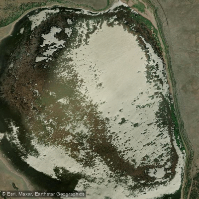
Mormon Lake
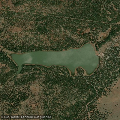
Dogtown Reservoir
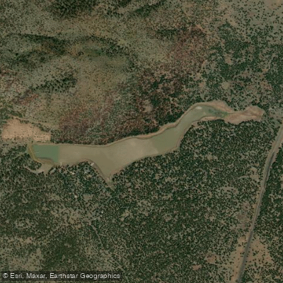
Kaibab Lake
Explore Arizona waters
Top paddling waters
Popular Cities
Loading popular cities...
Explore near Little Colorado River
Access points
- Apache Sitgreaves National Forests Access
- Below Grand Falls Access
- Above Black Falls Access
- Springerville Ranger Station Access
- South Fork Trail Access
- Country Road 4124 Access
- Little Colorado River Bridge
- Little Colorado River Bridge
- Little Colorado River Bridge
- Little Colorado River Bridge
- Little Colorado River Bridge
- Little Colorado River Bridge
- All 84 spots
Nearby waters
More in Arizona

Smarter Paddling Starts in the App.
Paddleways gives you everything you need to plan smarter, paddle better, and own every trip from first launch to takeout.