Bald Eagle Creek
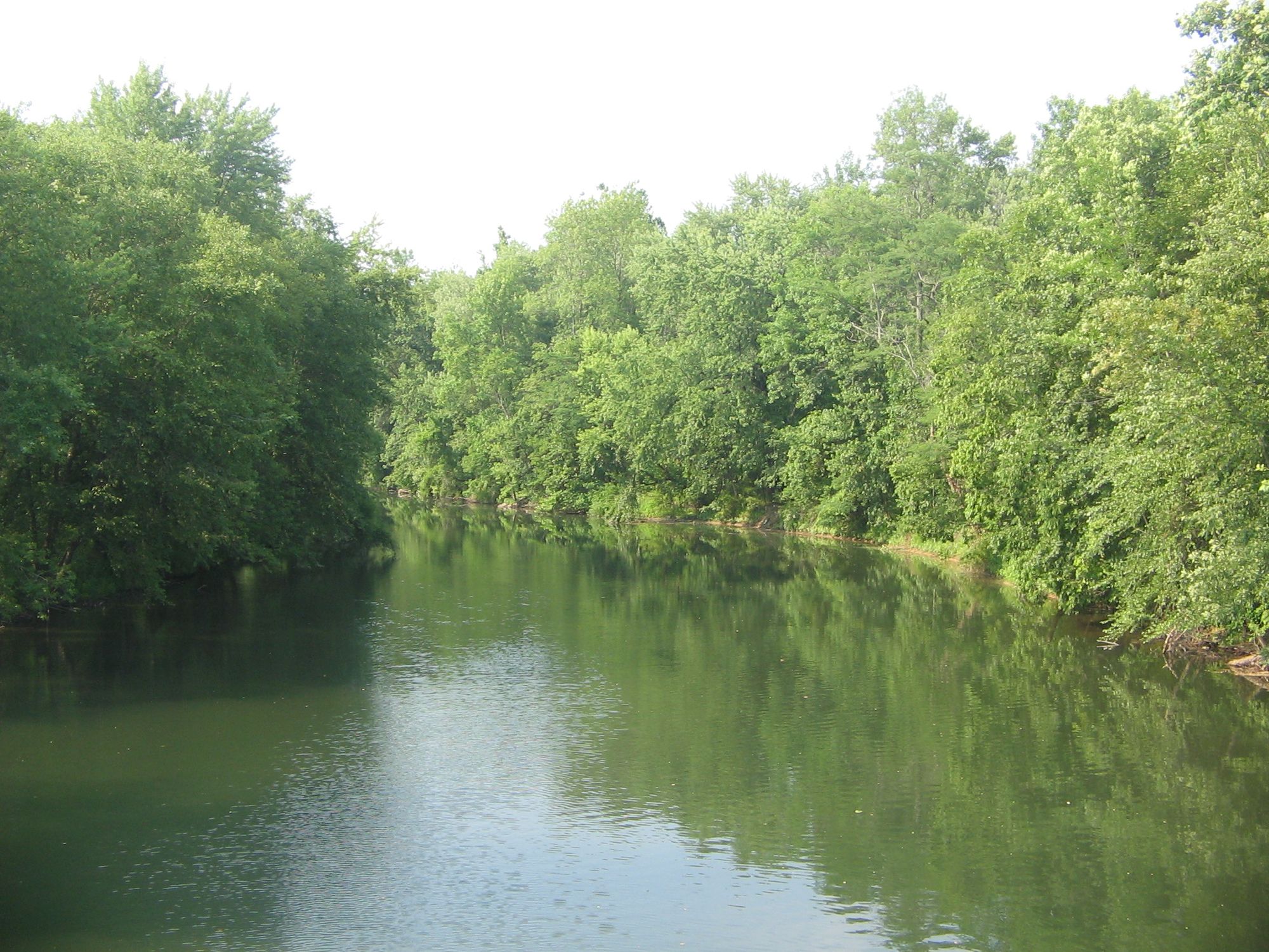
Bald Eagle Creek
- Boat Ramps
- 6
- Access Points
- 12
- Campsites
- 3
Bald Eagle Creek flows 55.2 miles through central Pennsylvania, originating near the Blair County/Centre County line and running northward through the Bald Eagle Valley. The creek follows the base of Bald Eagle Mountain ridge, ultimately joining the West Branch Susquehanna River near Lock Haven in Clinton County. This tributary system drains portions of all three counties, creating a significant watershed that supports diverse ecosystems and recreational opportunities.
The creek's headwaters begin in the Bald Eagle Valley, where the stream flows through a landscape characterized by forested ridges and agricultural valleys. As it progresses northward through Centre County, the creek passes through communities including Tyrone, Bellefonte, and Milesburg. The waterway receives significant input from Spring Creek near Bellefonte, a notable limestone tributary that enhances water quality and aquatic habitat. Continuing into Clinton County, Bald Eagle Creek maintains its northward course before reaching its confluence with the West Branch Susquehanna River.
Paddlers can access multiple sections of Bald Eagle Creek, with established routes ranging from Class I to Class II difficulty. The Milesburg to Curtin segment offers 4 miles of gentle to moderate paddling suitable for intermediate boaters, while the Eagleville to Mill Hall section provides 8 miles of Class I water ideal for beginners and families. A more technical option exists from Bellefonte via Spring Creek, requiring solid paddling skills to navigate Class I-II conditions. These sections feature improved access points with parking areas, benches, and switchback trails developed by the Bald Eagle Watershed Association.
The creek supports a healthy trout fishery, with stocked populations attracting anglers throughout the season. Spring and early summer provide optimal water levels for paddling, though flow conditions vary with rainfall. Wildlife enthusiasts frequently observe bald eagles, osprey, kingfishers, cedar waxwings, and various waterfowl along the corridor. The forested slopes surrounding the creek host white-tailed deer, river otters, and diverse songbird populations.
Historical significance marks this waterway, as the Nittany and Bald Eagle Railroad once paralleled its entire length. The creek's name reflects the abundant bald eagle populations that historically nested in the valley's towering sycamores and white oaks.
Access points are strategically located near Route 150, which follows much of the creek's course through Centre County. The community center in Milesburg provides convenient put-in access, while additional sites exist at Curtin, Eagleville, and Mill Hall. Bellefonte's waterfront walkway offers urban access with nearby amenities.
Water quality has improved significantly through watershed conservation efforts, though paddlers should remain aware of occasional agricultural runoff. The creek's limestone influence in certain sections creates alkaline conditions supporting calcium-loving plant species and diverse macroinvertebrate communities essential to the aquatic food web.
Water access, boat ramps & amenities
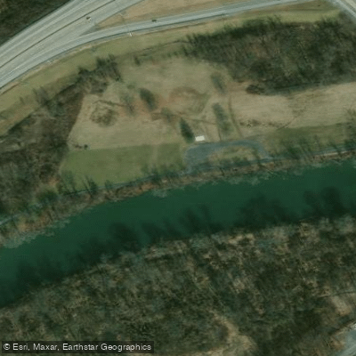
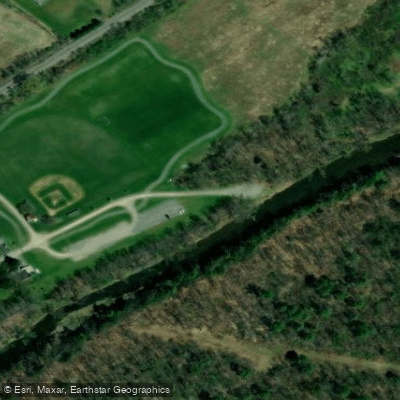
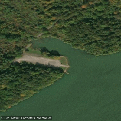
Learn how to get on Bald Eagle Creek. Uncover great paddling access points, boat ramps, and all the facilities you need for an unforgettable day on the water. Some locations shown may border or include private property. Always check property boundaries and applicable regulations before visiting. PaddleWays's Public & Private Land layer can help you plan your access with confidence.
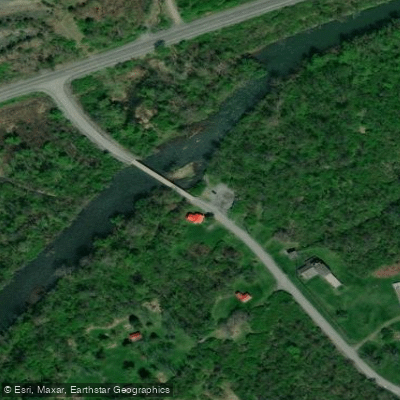
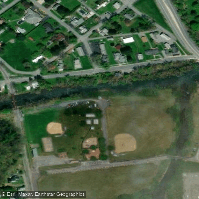
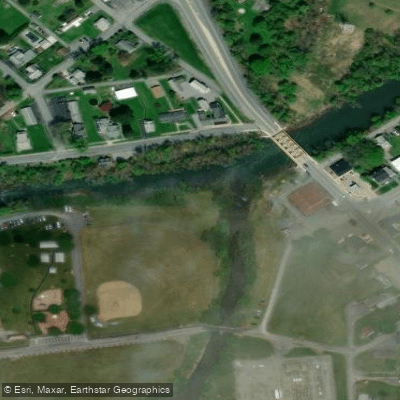
Paddle smarter with real-time insights
Whether you're en route and conditions shift or you're looking for the best spot based on current flows, we enable you to make informed decisions on the fly.








Find Places to Paddle

Over 400,000 Places to Paddle
Every user gets free access to launch points, boat ramps, and public property parcels.


Water and weather conditions (10 day forecast)
See the best times to paddle Bald Eagle Creek and check the forecast before you go.
Bald Eagle Creek bl Spring Creek at Milesburg, PA
All Flow Stations
Paddling near Bald Eagle Creek
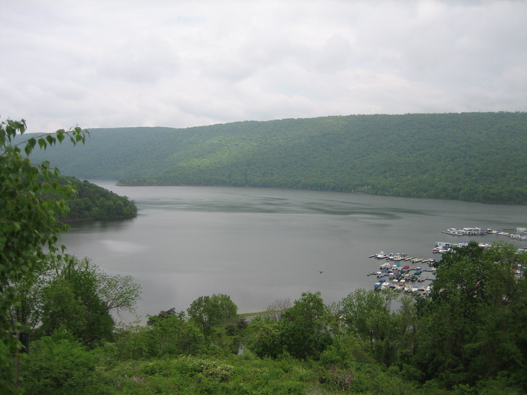
Raystown Lake
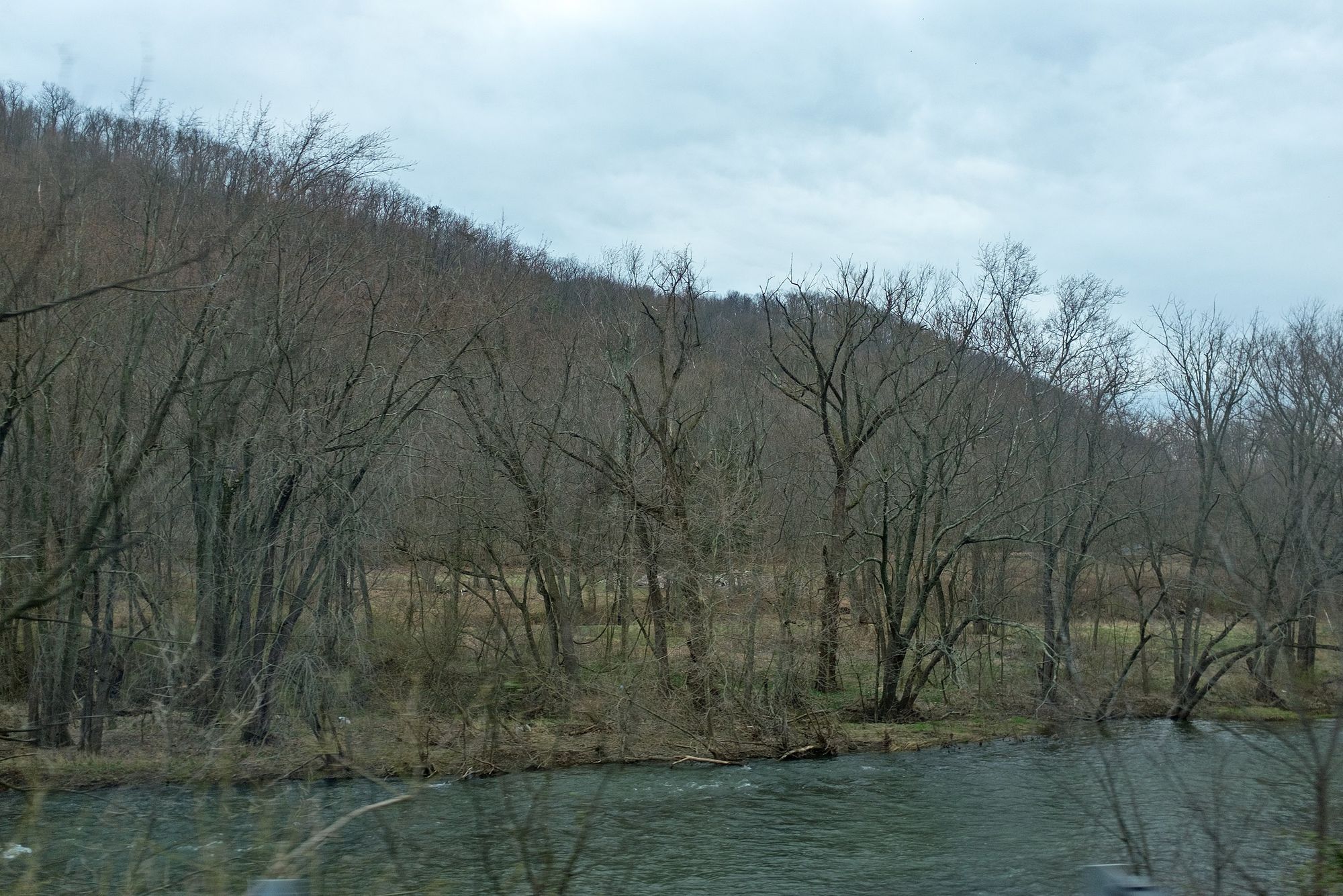
Juniata River
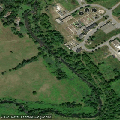
Spring Creek
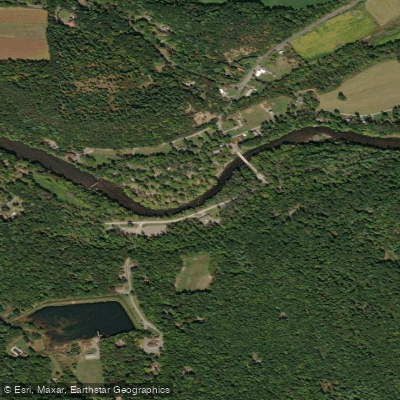
Penns Creek
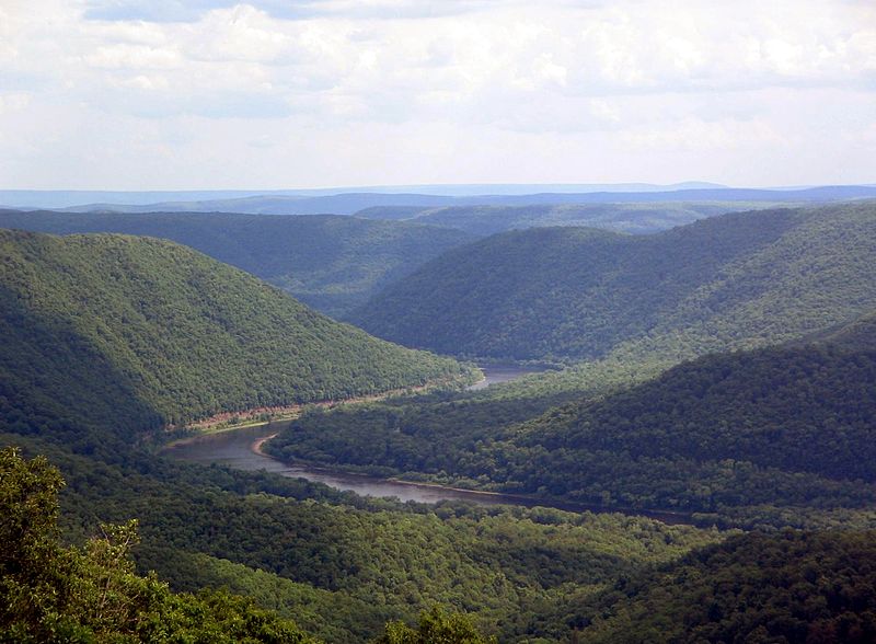
West Branch Susquehanna River
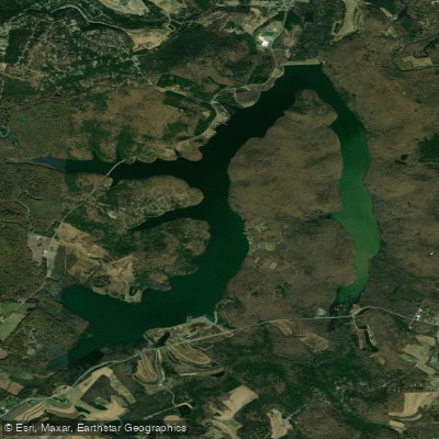
Glendale Lake
Raystown Branch Juniata River
Little Juniata River
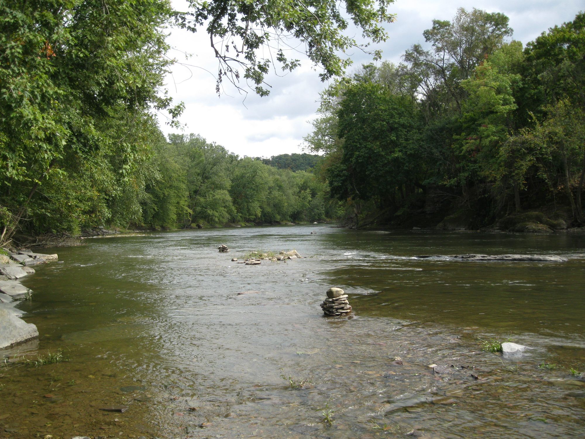
Fishing Creek
Explore Pennsylvania waters
Top paddling waters
Popular Cities
Loading popular cities...
Explore near Bald Eagle Creek
Access points
Nearby waters
More in Pennsylvania

Smarter Paddling Starts in the App.
Paddleways gives you everything you need to plan smarter, paddle better, and own every trip from first launch to takeout.