West Branch Susquehanna River
West Branch Susquehanna River
- Boat Ramps
- 18
- Access Points
- 29
- Campsites
- 8
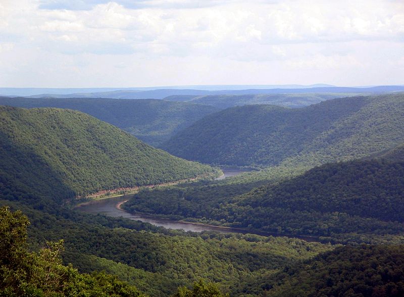
The West Branch Susquehanna River is a major waterway in central Pennsylvania, originating near Cherry Tree and flowing generally eastward for 228 miles before joining the North Branch to form the main stem of the Susquehanna River. This scenic river drains a watershed of over 7,000 square miles, receiving water from numerous tributaries including Anderson Creek, Clearfield Creek, and Sinnemahoning Creek. Paddlers will find a diverse range of opportunities along the West Branch, from placid flatwater sections to more challenging Class II-III rapids.
The upper reaches from Cherry Tree to Mahaffey offer a remote wilderness experience, while the middle sections near Clearfield and Curwensville provide easier paddling with more frequent access points. The lower river from Karthaus to Renovo features some of the most scenic stretches, winding through forested mountains. Overall difficulty ranges from Class I to III, with most sections suitable for intermediate paddlers. However, water levels can significantly impact conditions - a minimum of 2-3 feet at key gauges is generally recommended for safe paddling. Spring and early summer typically offer the best water levels and weather.
The river corridor supports diverse ecosystems, with opportunities to spot bald eagles, river otters, and migratory waterfowl. Hemlock and white pine forests line much of the banks, interspersed with hardwood species. Key landmarks include Curwensville Lake, the historic lumber town of Renovo, and the confluence with Anderson Creek. Popular access points can be found near Clearfield, Karthaus, and Keating. Multi-day trips are possible, with numerous primitive campsites available along the shores.
Historically, the West Branch played a crucial role in Pennsylvania's logging industry. Today, it offers a blend of wilderness adventure and small-town charm. Paddlers should be aware of several low-head dams, particularly near Clearfield, and always check current water levels and weather forecasts before embarking. With proper planning, the West Branch Susquehanna provides an excellent venue for both day trips and extended paddling adventures through the heart of the Pennsylvania Wilds.
Water access, boat ramps & amenities
Learn how to get on West Branch Susquehanna River. Uncover great paddling access points, boat ramps, and all the facilities you need for an unforgettable day on the water. Some locations shown may border or include private property. Always check property boundaries and applicable regulations before visiting. PaddleWays's Public & Private Land layer can help you plan your access with confidence.
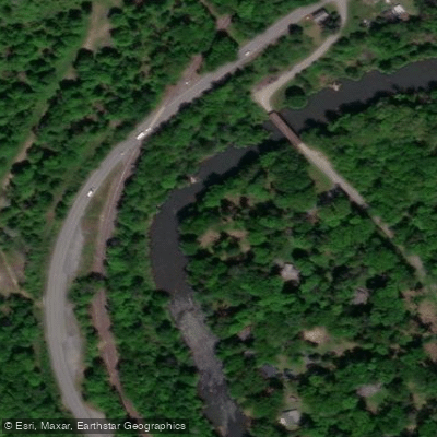
McGees Mills Access
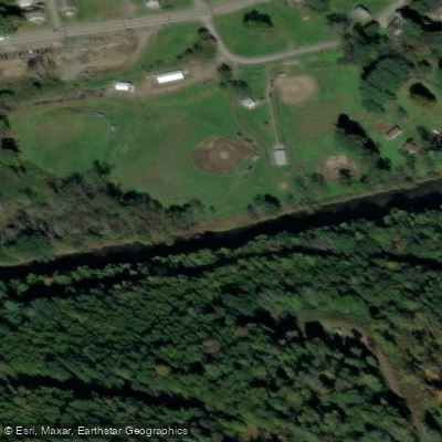
Mahaffey Access
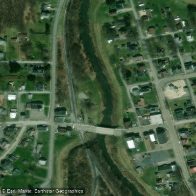
Cherry Tree Borough Access
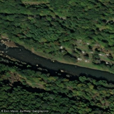
Chest Falls Access
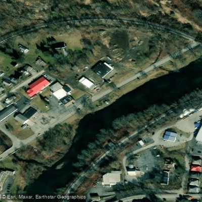
Elliott's Park Access
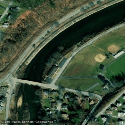
Curwensville Community Center Access
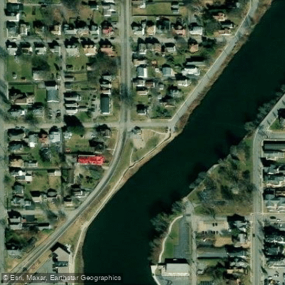
Riverside Park Access
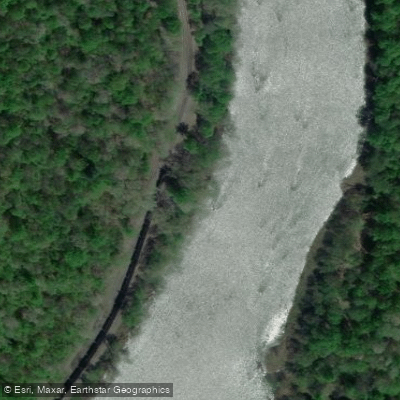
Keating Mountain Access
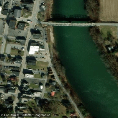
Jersey Shore Boat Club Access
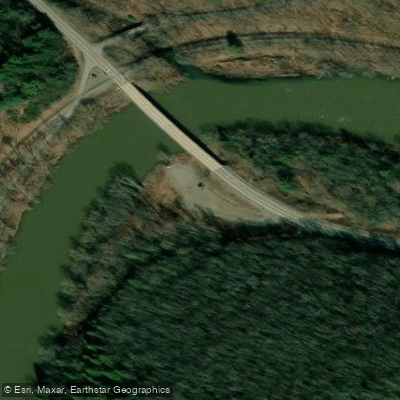
Deer Creek Access
Paddle smarter with real-time insights
Whether you're en route and conditions shift or you're looking for the best spot based on current flows, we enable you to make informed decisions on the fly.








Find Places to Paddle

Over 400,000 Places to Paddle
Every user gets free access to launch points, boat ramps, and public property parcels.


Water and weather conditions (10 day forecast)
See the best times to paddle West Branch Susquehanna River and check the forecast before you go.
WB Susquehanna River near Curwensville, PA
All Flow Stations
Paddling near West Branch Susquehanna River
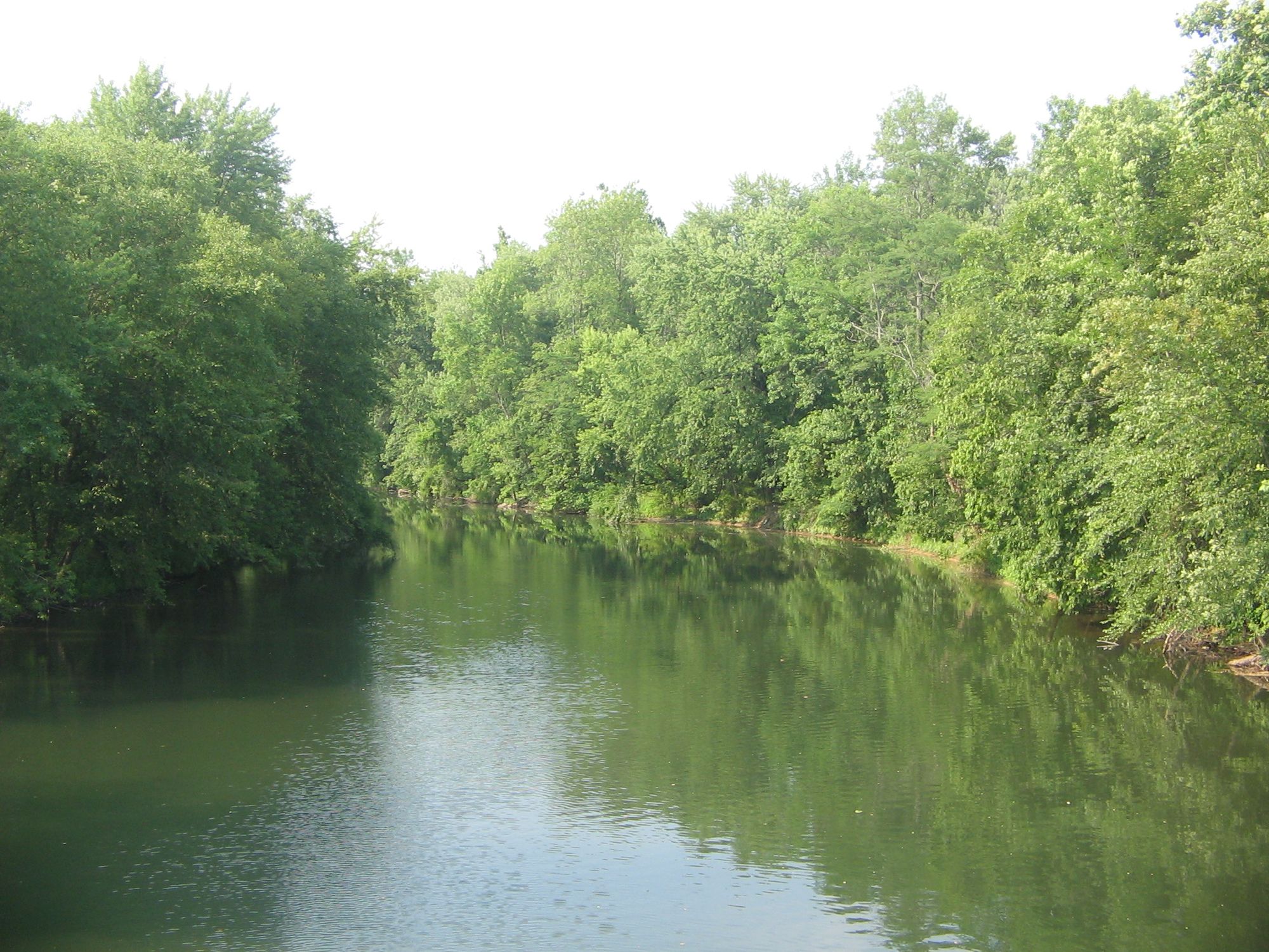
Bald Eagle Creek
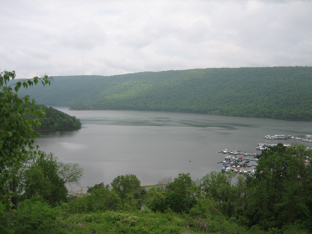
Raystown Lake
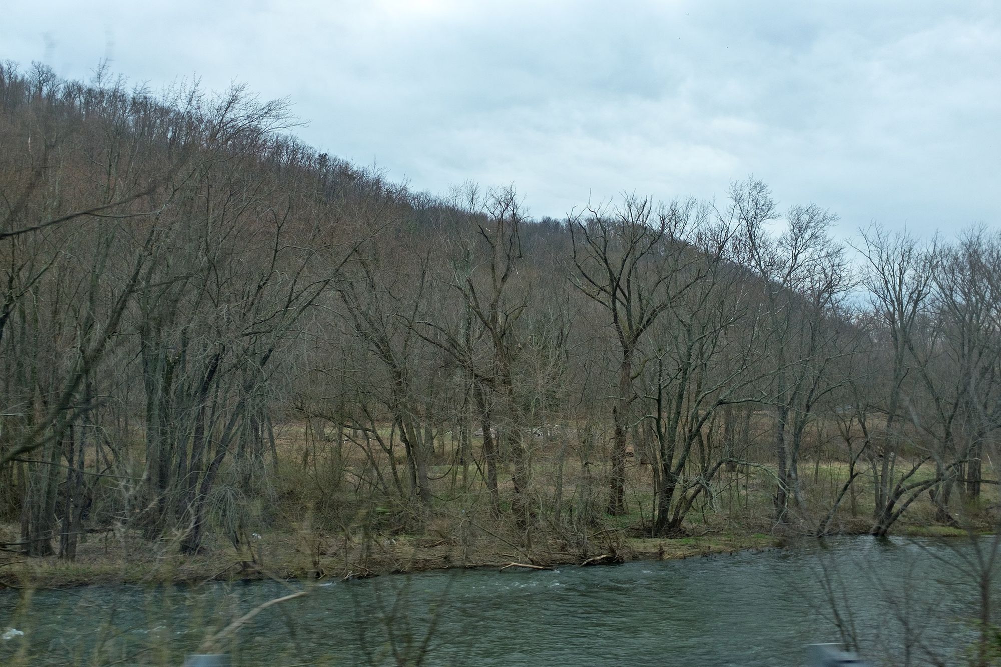
Juniata River
Spring Creek
Penns Creek
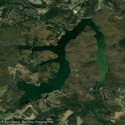
Glendale Lake
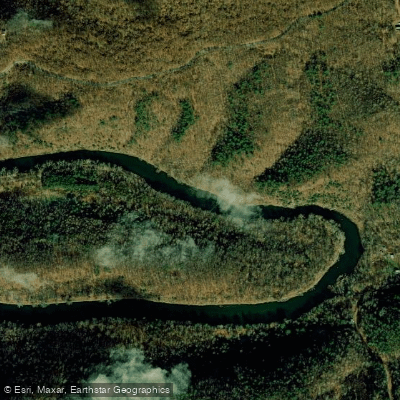
Raystown Branch Juniata River

Little Juniata River
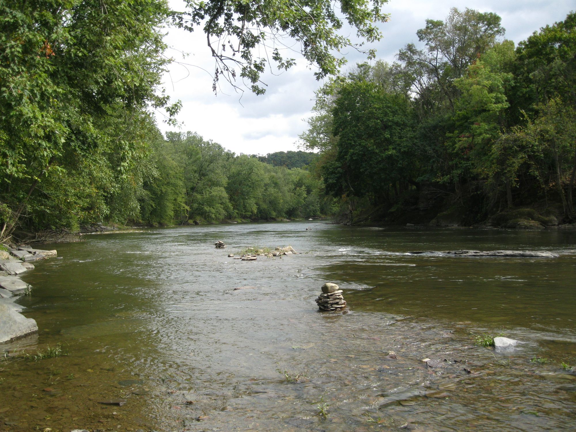
Fishing Creek
Explore Pennsylvania waters
Top paddling waters
Popular Cities
Loading popular cities...
Explore near West Branch Susquehanna River
Access points
- Curwensville Community Center Boat Ramp
- Cherry Tree Borough Boat Ramp
- Elliott's Park Boat Ramp
- Shawville Dam Take Out Boat Ramp
- Shawville Boat Ramp
- Rolling Stone Boat Ramp
- Irvin Park Boat Ramp
- Karthaus Boat Ramp
- Lower Witmer Park Borough Boat Ramp
- Karthaus Boat Ramp
- Jersey Shore Borough Boat Ramp
- Pine Creek Boat Ramp
- All 368 spots
Nearby waters
More in Pennsylvania

Smarter Paddling Starts in the App.
Paddleways gives you everything you need to plan smarter, paddle better, and own every trip from first launch to takeout.