Lehigh River
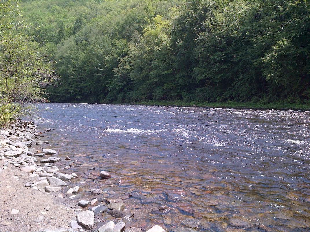
Lehigh River
- Boat Ramps
- 17
- Access Points
- 39
- Campsites
- 15
The Lehigh River is a 103-mile long tributary of the Delaware River that flows through eastern Pennsylvania. Originating in the glacial bogs north of Gouldsboro in the Pocono Mountains, the river flows generally southward through the Lehigh Valley before joining the Delaware River in Easton. Major tributaries include Bear Creek, Black Creek, and Jordan Creek.
The Lehigh offers diverse paddling opportunities along its course. The upper section from White Haven to Jim Thorpe features exciting Class II-III whitewater as the river cuts through Lehigh Gorge State Park. This 25-mile stretch is popular for whitewater rafting and kayaking, with the 12-mile upper gorge (White Haven to Rockport) and 13-mile lower gorge (Rockport to Glen Onoko) being the main whitewater runs. Below Jim Thorpe, the river widens and slows, providing scenic flatwater paddling through the Lehigh Valley. Difficulty ranges from Class I flatwater to Class III rapids, with some Class IV possible at high water in the gorge. The upper sections require whitewater skills and equipment, while the lower river is suitable for beginners.
Spring and fall are ideal paddling seasons, with summer releases from Francis E. Walter Dam providing reliable flows for whitewater. The river corridor hosts diverse wildlife including bald eagles, osprey, and river otters. Paddlers can enjoy views of forested mountains, historic canal locks, and industrial ruins from the region's coal mining past. Key landmarks include the Francis E. Walter Dam, the town of Jim Thorpe, and the former Bethlehem Steel plant.
Major access points include White Haven, Rockport, Glen Onoko, Lehighton, and Easton. The Delaware & Lehigh National Heritage Corridor parallels much of the river, offering opportunities for bike shuttles. The Lehigh played a crucial role in the Industrial Revolution, powering mills and transporting anthracite coal via the Lehigh Canal. Today it's a popular recreation destination, though paddlers should be aware of hazards like dams and required permits in some sections.
Multi-day trips are possible, with primitive campsites available in Lehigh Gorge State Park. The 72-mile Lehigh River Water Trail offers a longer paddling adventure from White Haven to Easton.
Water access, boat ramps & amenities
Learn how to get on Lehigh River. Uncover great paddling access points, boat ramps, and all the facilities you need for an unforgettable day on the water. Some locations shown may border or include private property. Always check property boundaries and applicable regulations before visiting. PaddleWays's Public & Private Land layer can help you plan your access with confidence.
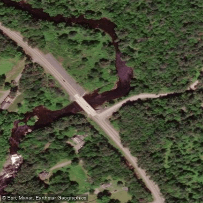
Bear Creek Access
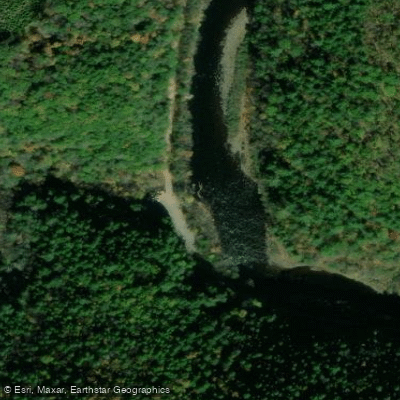
Lehigh River Take-out
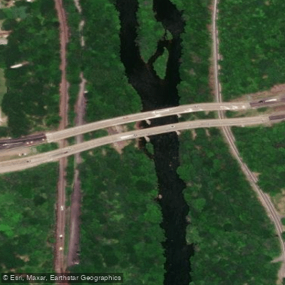
White Haven Access
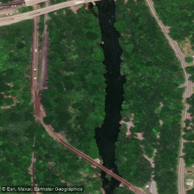
Lehigh put-in
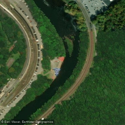
Jim Thorpe Lehigh Access
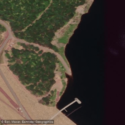
Francis E. Walter Reservoir Access
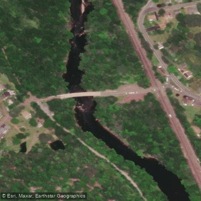
Tannery Access
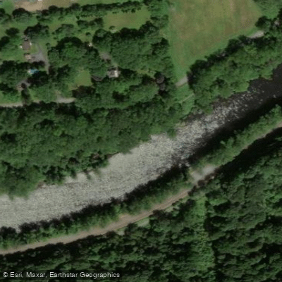
Wilson Avenue Access
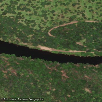
Gaging Station Access
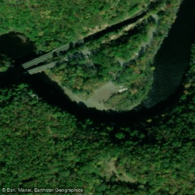
Glen Onoko Access
Paddle smarter with real-time insights
Whether you're en route and conditions shift or you're looking for the best spot based on current flows, we enable you to make informed decisions on the fly.








Find Places to Paddle

Over 400,000 Places to Paddle
Every user gets free access to launch points, boat ramps, and public property parcels.


Water and weather conditions (10 day forecast)
See the best times to paddle Lehigh River and check the forecast before you go.
Lehigh River at Glendon, PA
All Flow Stations
Paddling near Lehigh River

Susquehanna River
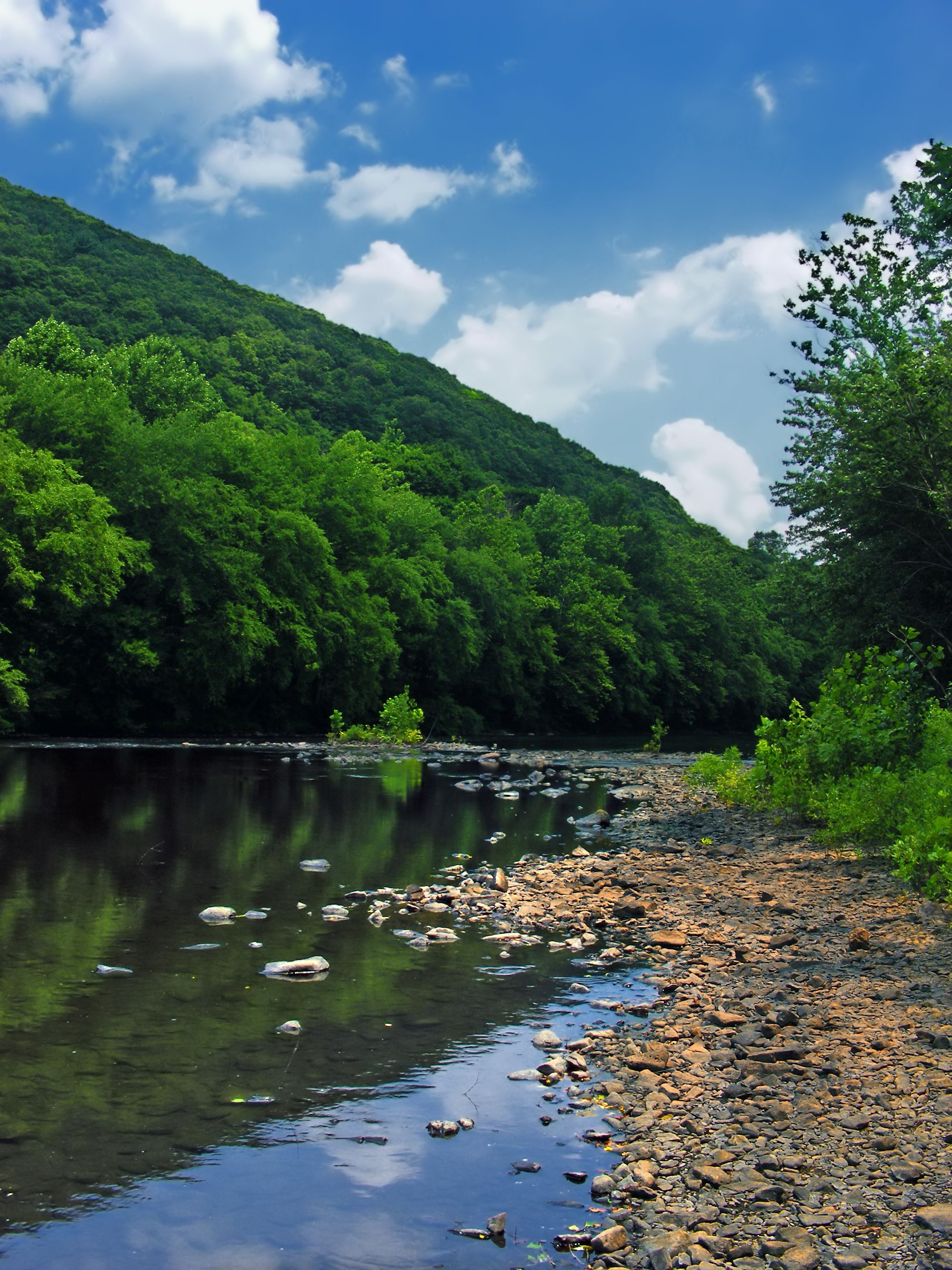
Schuylkill River
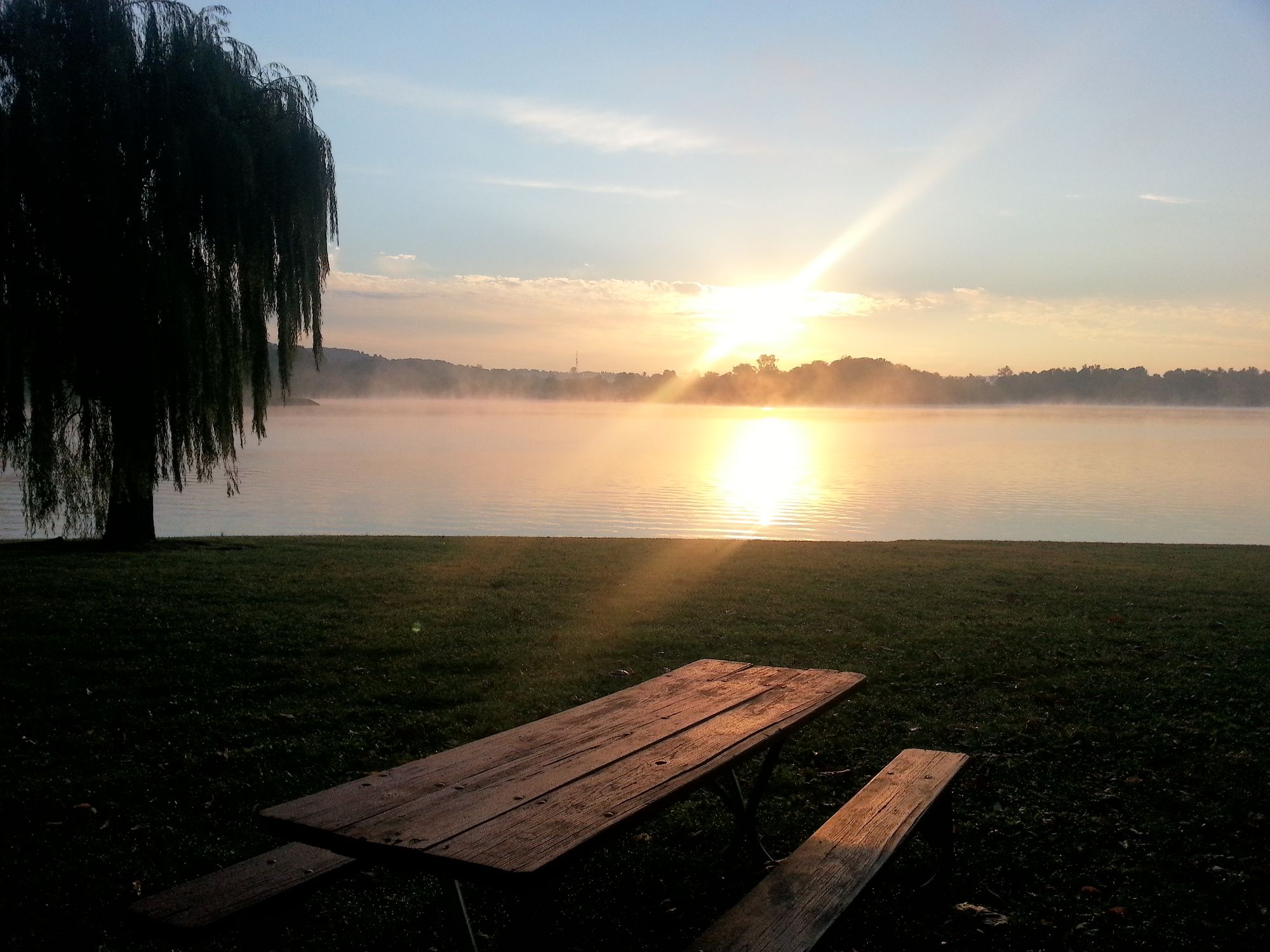
Blue Marsh Lake
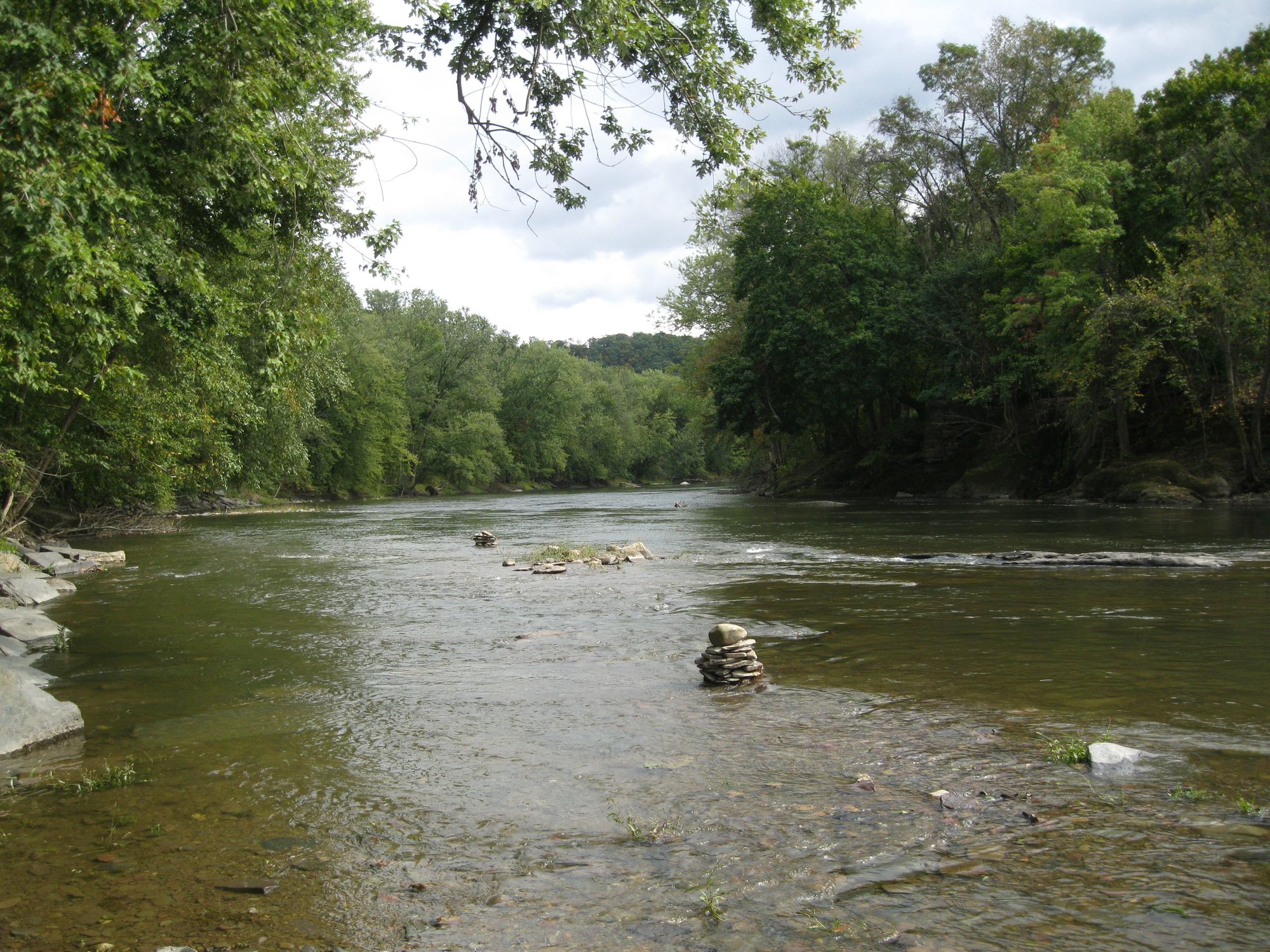
Fishing Creek
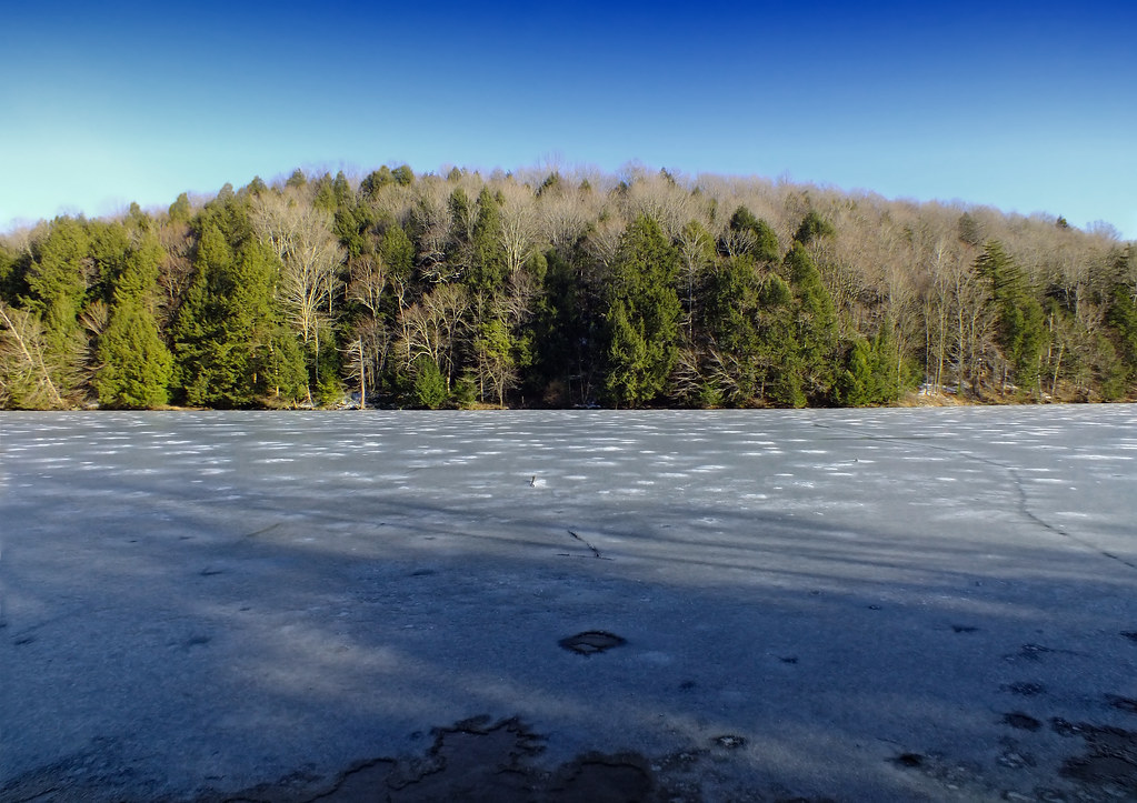
Lackawanna Lake

Delaware River
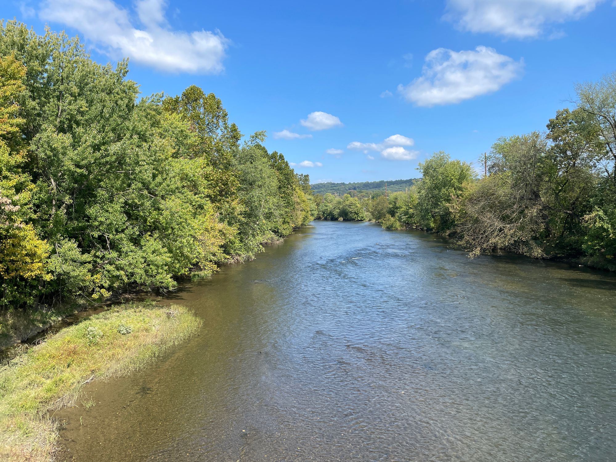
Swatara Creek
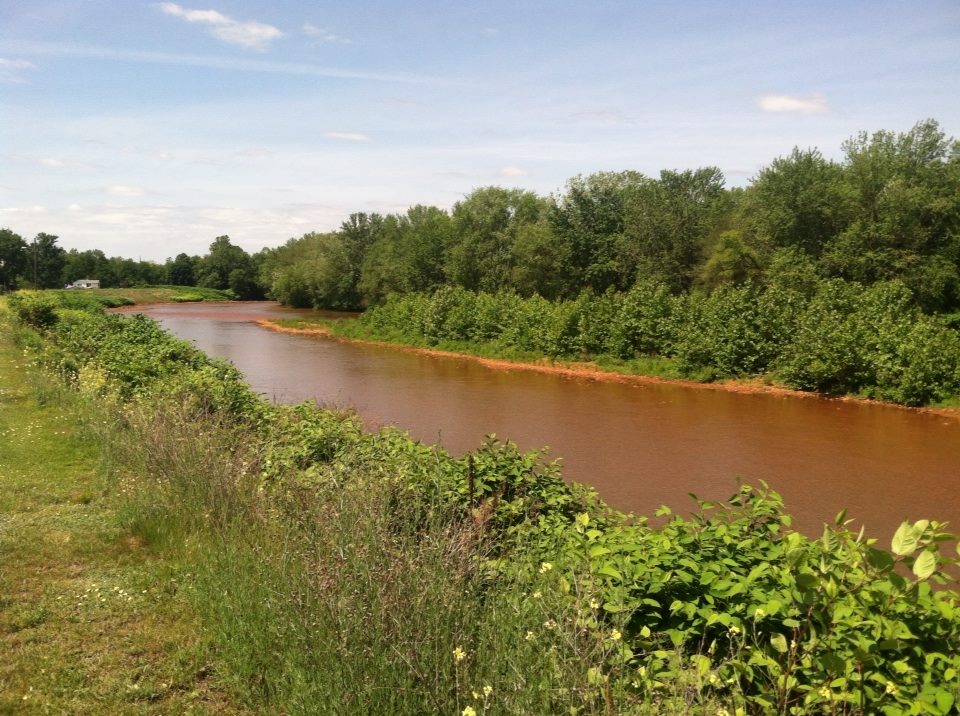
Lackawanna River
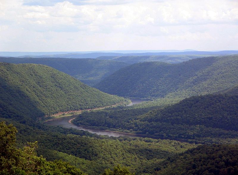
West Branch Susquehanna River
Explore Pennsylvania waters
Top paddling waters
Popular Cities
Loading popular cities...
Explore near Lehigh River
Access points
Nearby waters
More in Pennsylvania

Smarter Paddling Starts in the App.
Paddleways gives you everything you need to plan smarter, paddle better, and own every trip from first launch to takeout.