Raritan River

Raritan River
- Boat Ramps
- 1
- Access Points
- 6
- Campsites
- 1
The Raritan River is the longest river system located entirely within New Jersey, stretching approximately 70 miles from its headwaters near Oldwick to its mouth at Raritan Bay. The river is formed by the confluence of the North and South Branches in Branchburg. The North Branch originates in Morris County, while the South Branch begins in Budd Lake, flowing southeast through Hunterdon County before joining the North Branch.
The Raritan offers diverse paddling opportunities suitable for various skill levels. The upper reaches of the South Branch, particularly the Ken Lockwood Gorge section near High Bridge, provide more challenging Class II-III whitewater suitable for intermediate paddlers. As the river progresses eastward, it transitions to mostly flatwater and gentle Class I rapids, ideal for beginners and casual paddlers. Popular paddling sections include: - Clinton to Flemington (10 miles, Class I-II) - Three Bridges to Confluence (10 miles, flatwater to Class I) - North Branch from Burnt Mills to Confluence (7 miles, Class I-II) - Bound Brook to New Brunswick (8 miles, flatwater)
The best paddling season is typically spring through fall, with higher water levels in spring offering the most exciting conditions for whitewater enthusiasts. Summer and fall provide pleasant conditions for flatwater paddling, though water levels may be lower.
The river corridor supports diverse wildlife, including bald eagles, great blue herons, and various fish species. The surrounding landscape features a mix of deciduous forests, farmland, and increasing urbanization as the river approaches its mouth.
Key access points include: - Clinton (South Branch) - High Bridge (Ken Lockwood Gorge) - Three Bridges - Burnt Mills (North Branch) - Bound Brook - New Brunswick
The Raritan played a significant role in New Jersey's industrial development, powering mills and serving as a transportation route. Today, it remains an important water source and recreational asset for the region. Paddlers should be aware of low-head dams, particularly in more developed areas, and check water levels before trips.
Multi-day expeditions are possible, covering the full length of the river from the headwaters to Raritan Bay, though these require careful planning and are not commonly undertaken. The Raritan River offers a unique opportunity to explore New Jersey's diverse landscapes, from rural countryside to suburban and urban areas, all while enjoying a variety of paddling experiences suitable for different skill levels.
Water access, boat ramps & amenities
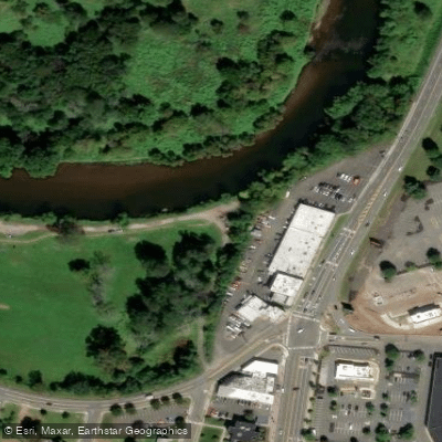
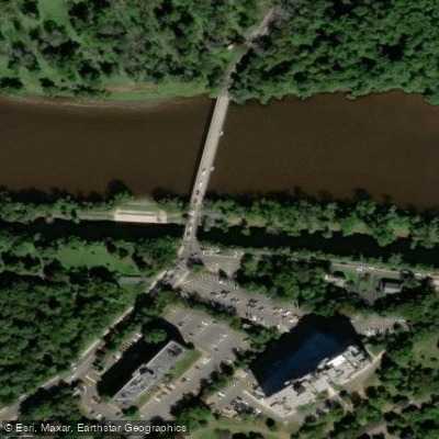
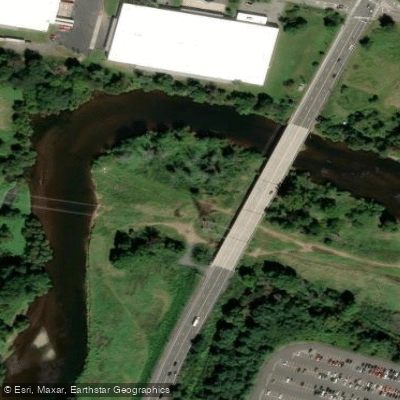
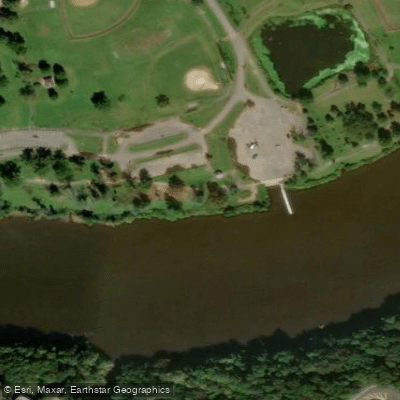
Learn how to get on Raritan River. Uncover great paddling access points, boat ramps, and all the facilities you need for an unforgettable day on the water. Some locations shown may border or include private property. Always check property boundaries and applicable regulations before visiting. PaddleWays's Public & Private Land layer can help you plan your access with confidence.
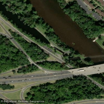
Paddle smarter with real-time insights
Whether you're en route and conditions shift or you're looking for the best spot based on current flows, we enable you to make informed decisions on the fly.








Find Places to Paddle

Over 400,000 Places to Paddle
Every user gets free access to launch points, boat ramps, and public property parcels.


Water and weather conditions (10 day forecast)
See the best times to paddle Raritan River and check the forecast before you go.
Raritan River at Manville NJ
All Flow Stations
Paddling near Raritan River
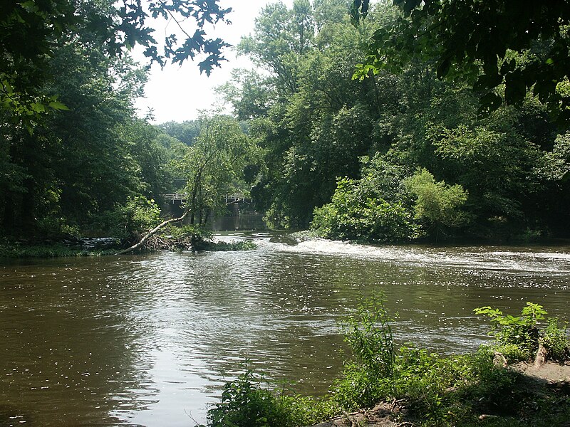
Millstone River
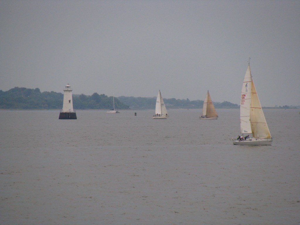
Raritan Bay
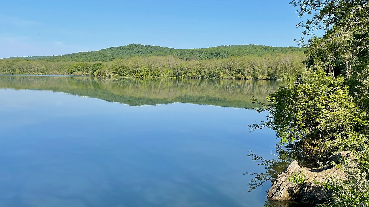
Spruce Run Reservoir

Hudson River
Lawrence Brook

Delaware River
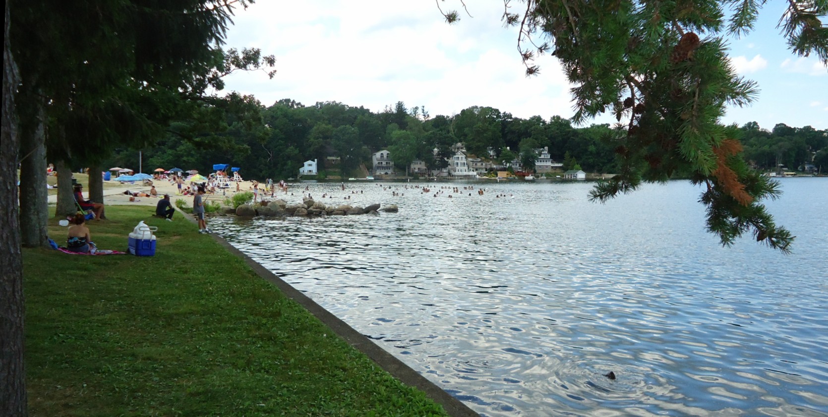
Lake Hopatcong
Washington Canal
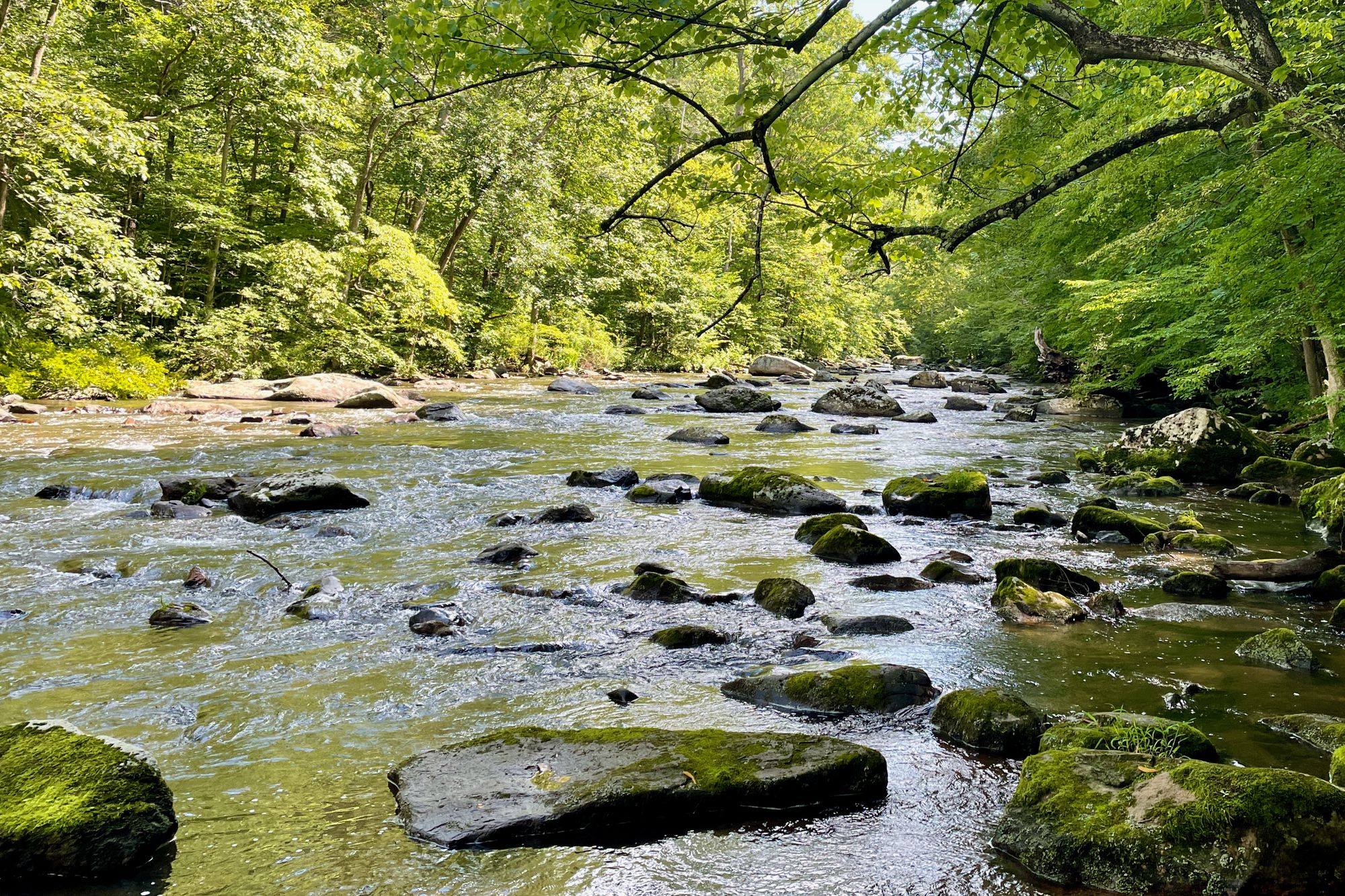
South Branch Raritan River
Explore New Jersey waters
Top paddling waters
Popular Cities
Loading popular cities...
Explore near Raritan River
Access points
- Edison Municipal Boat Ramp
- Dukes Park
- Delaware and Raritan Canal State Park Access
- Van Veghten's Bridge
- Donaldson Park
- Delaware and Raritan Canal State Park Access
- Raritan River Smith St. Bridge
- Raritan River Bridge
- Van Veghten's Bridge
- Lyman Street/river Road Bridge
- Raritan River Bridge
- Delaware & Raritan Canal Bridge
- All 141 spots
Nearby waters
More in New Jersey

Smarter Paddling Starts in the App.
Paddleways gives you everything you need to plan smarter, paddle better, and own every trip from first launch to takeout.