Crum Creek
- Saltwater
- Tidal creek
Crum Creek
- Saltwater
- Tidal creek
- Sq. miles
- 0
- Boat Ramps
- 0
- Access Points
- 0
- Campsites
- 1
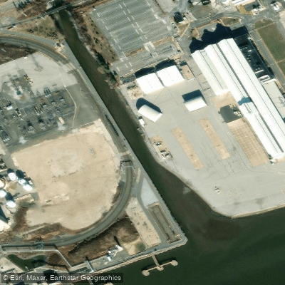
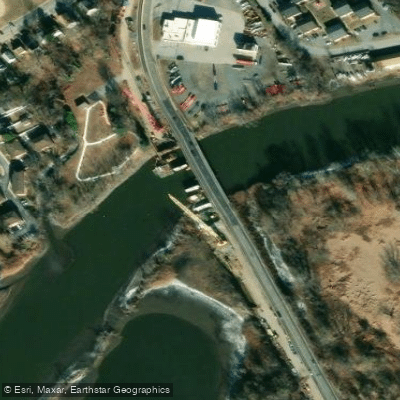
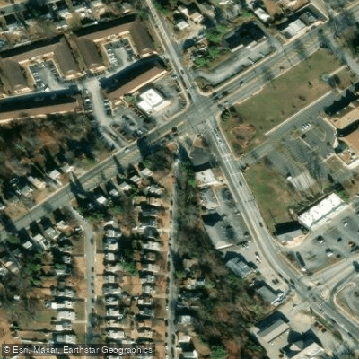
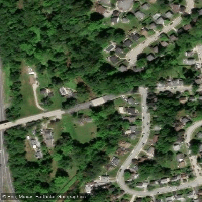
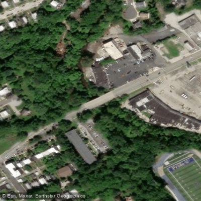
Crum Creek in Pennsylvania offers a short, adventurous freshwater creek paddle, distinct from any coastal tidal features. The primary paddling route runs from an access point above the Strath Haven Coulee Dam off Yale Avenue in Swarthmore upstream. Another recognized launch point is down the hill from the SEPTA 101 trolley stop at Paper Mill Road, with a common take-out at the Baltimore Avenue bridge to avoid a dangerous downstream dam. Paddling is highly dependent on recent rainfall; low water levels can render sections impassable, with one treacherous shallow area known as Rocky Roads extending for twenty yards and leading to long stretches with an average depth of only six inches. After sufficient rain, the creek features quite a bit of swift, fun Class I rapids. Major hazards include multiple dangerous dams, one right before Yale Avenue and another downstream from the Paper Mill Road launch, which must be scouted and portaged. There is also a report of a small tree lying parallel to the water's surface that can be difficult to pass. The creek is narrow with many twists and turns, snags, and sieves, requiring careful maneuvering. Wildlife is abundant, with multitudes of turtles along the banks and shadowy fish in the shallows; there are also reports of beavers. The surrounding area includes a rugged creekside trail frequented by hikers. Parking is available at the Paper Mill Road location, and the trip can be combined with public transit, as one can take out at Bullens Lane to catch a SEPTA bus. The overall character is that of a small, challenging, and technical urban creek paddle best undertaken shortly after a rainstorm when water levels are higher.
Water access, boat ramps & amenities
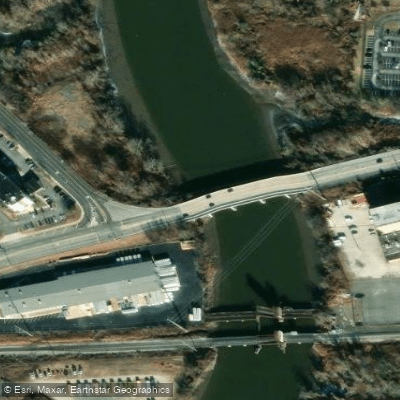
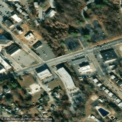
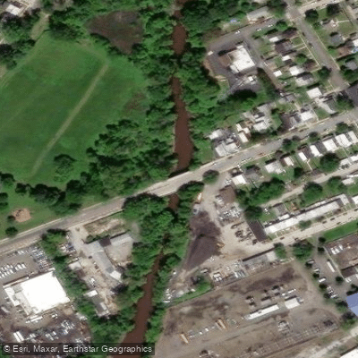
Learn how to get on Crum Creek. Uncover great paddling access points, boat ramps, and all the facilities you need for an unforgettable day on the water. Some locations shown may border or include private property. Always check property boundaries and applicable regulations before visiting. PaddleWays's Public & Private Land layer can help you plan your access with confidence.



Paddle smarter with real-time insights
Whether you're en route and conditions shift or you're looking for the best spot based on current flows, we enable you to make informed decisions on the fly.








Find Places to Paddle

Over 400,000 Places to Paddle
Every user gets free access to launch points, boat ramps, and public property parcels.


Tides, wind & water conditions (10 day forecast)
On open water, wind and tide matter as much as the weather. See the best times to paddle Crum Creek and check the marine forecast before you launch.
Loading tide predictions…
Paddling near Crum Creek

Delaware River
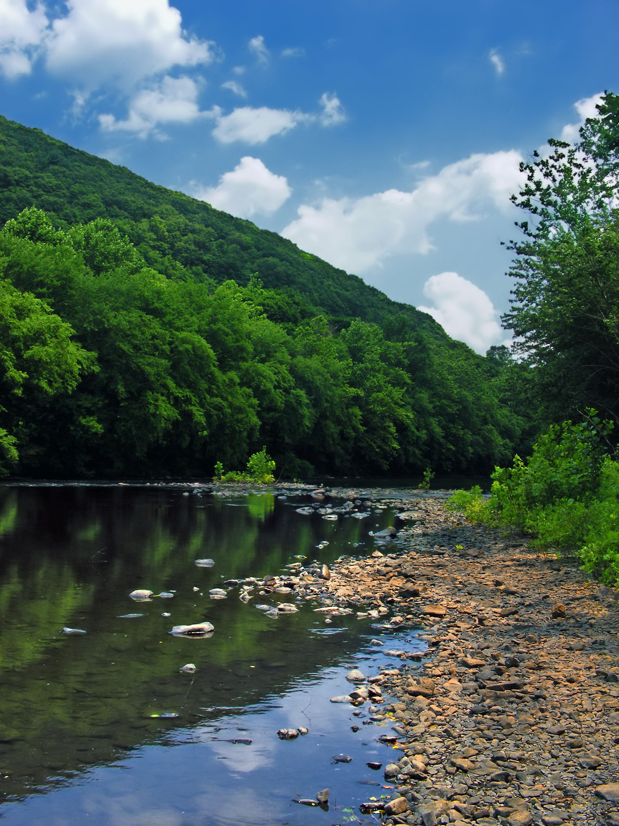
Schuylkill River
Marcus Hook Bar
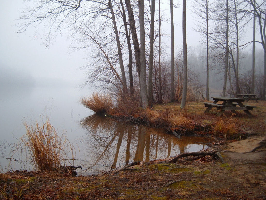
Lums Pond
Delaware River, Essington, PA
Lake Nockamixon
Mullica River
Ridley Creek
Wissahickon Creek
Explore Pennsylvania waters
Top paddling waters
Popular Cities
Loading popular cities...
Explore near Crum Creek
Access points
Nearby waters
More in Pennsylvania

Smarter Paddling Starts in the App.
Paddleways gives you everything you need to plan smarter, paddle better, and own every trip from first launch to takeout.