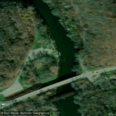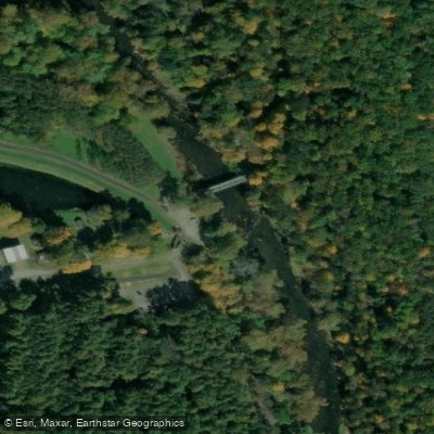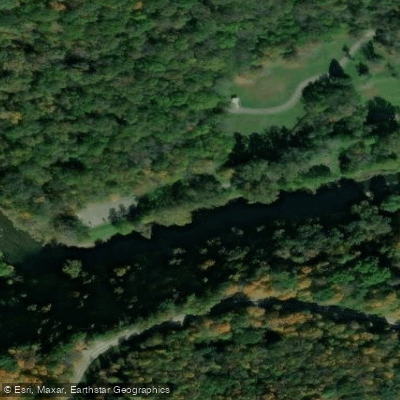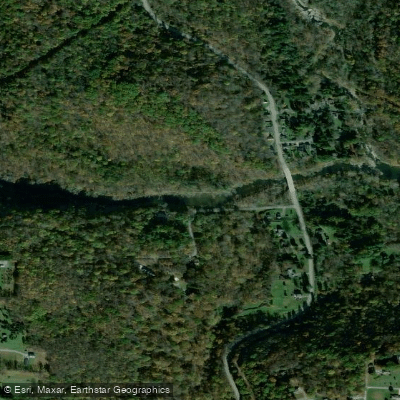
Curated by PaddleWays
RouteClass II
- Distance
- 3.3 mi
- Paddle time
- ~1 hr
- Put-in & take-out
- Beaver Creek State Park Canoe Launch Area
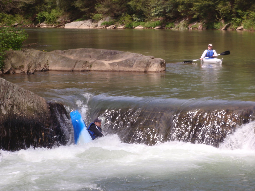
Little Beaver Creek flows through the rugged terrain of eastern Ohio's Columbiana County and western Pennsylvania's Beaver County, carving a path through deep valleys and forested hillsides before joining the Ohio River near the Pennsylvania border. The creek system comprises multiple forks—the Middle Fork, North Fork, and West Fork—that converge near Fredericktown, Ohio, creating the main stem that continues approximately 36 miles to its confluence with the Ohio River at Glasgow, Pennsylvania. Designated as both a National and State Scenic River in 1974, Little Beaver Creek offers paddlers a rare wilderness experience in Ohio, with Class I-II rapids punctuated by occasional Class II-III sections, particularly Eagle Rapid downstream of Fredericktown. The creek flows through boulder-strewn channels with clear, swiftly moving water alternating between riffles, quiet pools, and technical rapids.
Water levels are critical—optimal paddling occurs between 300-900 cubic feet per second, typically during spring runoff and after substantial rainfall. The USGS gauge at Grimm's Bridge provides essential flow data for trip planning. Popular paddling routes include the scenic stretch from Beaver Creek State Park's Echo Dell Road access to Lock 57 Community Park in Ohioville, Pennsylvania, covering approximately 15 miles. Shorter sections run from Lisbon to Beaver Creek State Park, Grimm's Bridge to Lock 57, and Sprucevale Launch to Lock 57. The Fredericktown to Lock 57 section presents the most challenging water, recommended only for intermediate to advanced paddlers, especially at higher flows.
The creek supports exceptional biodiversity, including 63 fish species, notably smallmouth bass and rock bass. The watershed harbors Ohio's largest population of endangered hellbender salamanders, along with 49 mammal species, 270 bird species, and 46 reptile and amphibian species. Eastern hemlocks line the steep ravine walls, creating shaded corridors through mature mixed mesophytic forests.
Historical remnants of the Sandy and Beaver Canal system dot the landscape, with preserved locks, including Gretchen's Lock (Lock 41) and others visible from the water. The Teegarden-Centennial Covered Bridge, accessible via a short detour at Eagleton Road, stands as a registered historic structure. Near Leetonia, the Beehive Coke Ovens Park preserves 200 coal-fired ovens from 1866, reflecting the region's industrial heritage.
Primary access points include Lisbon (S Lincoln Avenue), Beaver Creek State Park (multiple locations), Leetonia, Sprucevale Launch, Grimm's Bridge, and Lock 57 Community Park in Ohioville. The creek crosses few roads, maintaining its remote character through most sections. Paddlers should note potential strainer hazards, particularly near mile 10 below Lisbon, and exercise caution during high water when the creek's power increases significantly. Portaging may be necessary at certain water levels, and all paddlers should wear appropriate safety gear given the creek's technical nature and remote setting.
Curated routes
Hand-picked by the PaddleWays team, with put-ins, take-outs, paddle times and the hazards along the way.
RouteClass II
RouteClass II–III
Hazards
No hazards are marked on Little Beaver Creek yet. That is not the same as none being there: if you find one, report it for the next paddler.
From the community
Nobody has shared a trip on Little Beaver Creek yet. Paddle it, then tell the next paddler how it went.
See exactly where the public can get on and off the river. Launch points and boat ramps are paired with PaddleWays' public land data so you know where you can legally land.
Public shoreline
59%of the river's shoreline is public
Flows, weather and a route-by-route verdict, so you know which stretch of the Little Beaver Creek is worth paddling today.
Live flows, marked hazards and fresh trip reports from paddlers who were just on the water, all in one place.





Every user gets free access to launch points, boat ramps, and public property parcels.

Loading popular cities...
PaddleWays gives you everything you need to plan smarter, paddle better, and own every trip from first launch to takeout.