Grand River
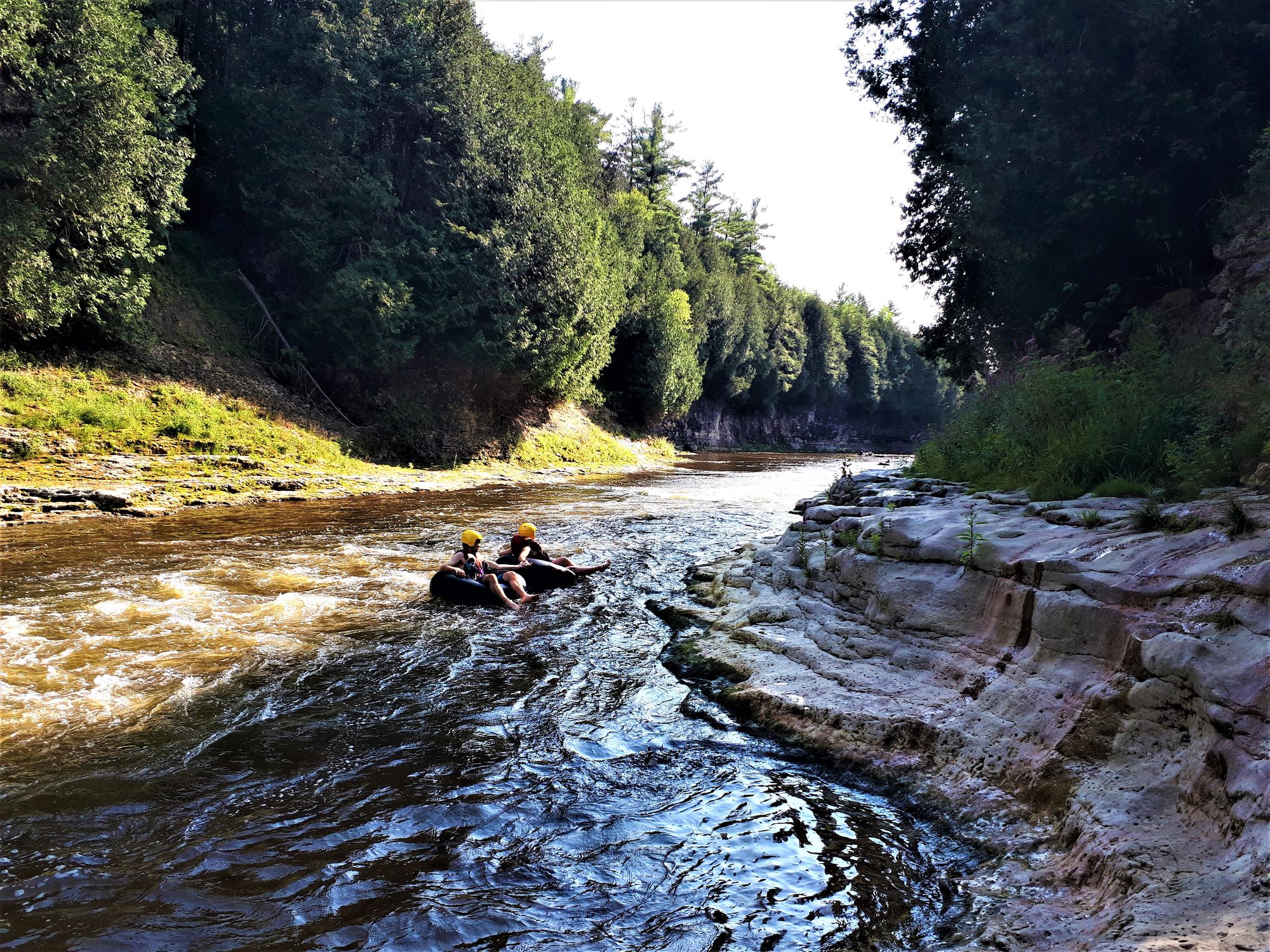
Grand River
- Boat Ramps
- 19
- Access Points
- 24
- Campsites
- 7
The Grand River is a significant waterway in northeastern Ohio, originating in southeastern Geauga County and flowing northward for 102.7 miles through Ashtabula and Lake Counties before emptying into Lake Erie. This scenic river is renowned for its diverse ecosystems and recreational opportunities.
The Grand River offers a range of paddling experiences, from calm flatwater sections to more challenging Class II rapids. The most popular stretch for canoeists and kayakers is the 8-mile section from Harpersfield Dam to Hidden Valley Park, which serves as the course for the annual Grand River Canoe and Kayak Race. This section features consistent Class II rapids and picturesque scenery, making it suitable for intermediate paddlers. For those seeking a more leisurely experience, the Grand River Livery near Rock Creek offers flexible trip options on calmer waters. Novice paddlers can also enjoy the 2.6-mile stretch from Indian Point Park to Blair Landing, which provides an easy Class I experience.
The river's flow is typically best for paddling in spring and early summer, with water levels becoming lower and slower in late summer and fall. Paddlers should check water levels before embarking, as conditions can vary significantly with rainfall.
The Grand River valley is home to diverse wildlife, including bald eagles, which are frequently spotted along the river. The surrounding Carolinian forest adds to the area's natural beauty and ecological importance.
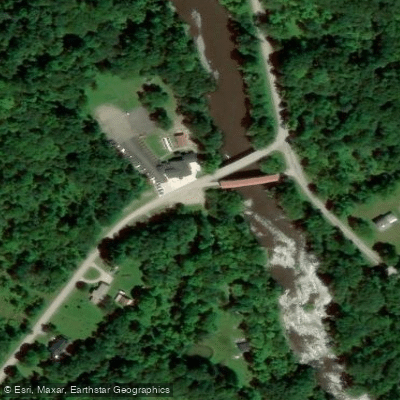
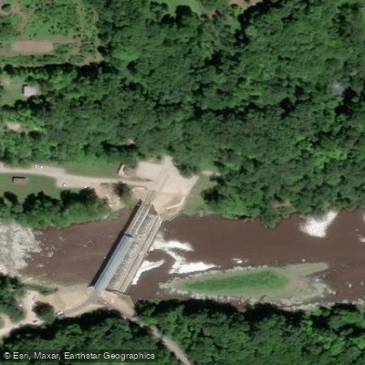
Key landmarks include the historic Harpersfield Covered Bridge, which marks the start of the popular paddling section, and Hidden Valley Park, a frequent endpoint for trips. The river also passes through several scenic conservation areas managed by Lake Metroparks.
Access points are well-distributed along the river, with major put-ins at Harpersfield Dam (Route 534), Grand River Canoe Livery (Fobes Road, Rock Creek), and Indian Point Park (Leroy Township). Take-outs include Hidden Valley Park (Route 528) and Blair Landing in Perry.
The Grand River holds significant historical importance, having been designated as a State and National Wild and Scenic River in 1974. This designation has helped preserve the river's natural character and recreational value.
Safety considerations include wearing appropriate personal flotation devices and checking water levels before paddling. Some sections may require portaging around dams or other obstacles. Paddlers should also be aware of the potential for rapid water level changes, especially after heavy rains.
While primarily used for day trips, the Grand River's length and multiple access points allow for potential multi-day adventures for experienced paddlers who are prepared for primitive camping along the route.
Water access, boat ramps & amenities
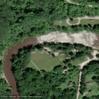
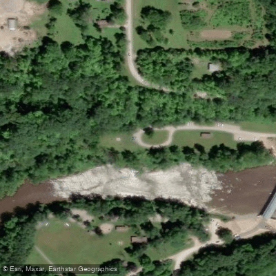
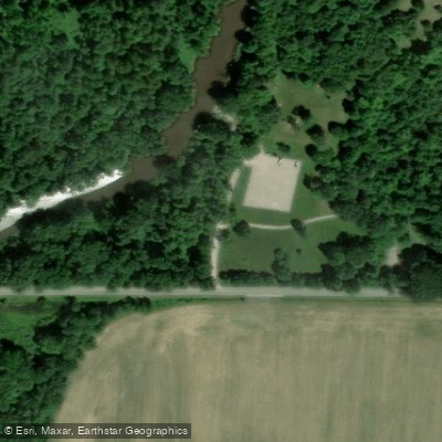
Learn how to get on Grand River. Uncover great paddling access points, boat ramps, and all the facilities you need for an unforgettable day on the water. Some locations shown may border or include private property. Always check property boundaries and applicable regulations before visiting. PaddleWays's Public & Private Land layer can help you plan your access with confidence.
Paddle smarter with real-time insights
Whether you're en route and conditions shift or you're looking for the best spot based on current flows, we enable you to make informed decisions on the fly.








Find Places to Paddle

Over 400,000 Places to Paddle
Every user gets free access to launch points, boat ramps, and public property parcels.


Water and weather conditions (10 day forecast)
See the best times to paddle Grand River and check the forecast before you go.
Grand River near Painesville OH
Paddling near Grand River

Lake Erie
Chagrin River
Mosquito Creek Lake
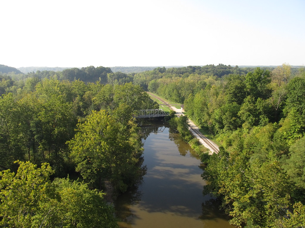
Cuyahoga River
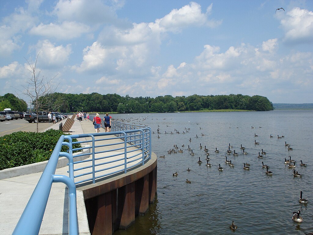
Pymatuning Reservoir
Ashtabula River
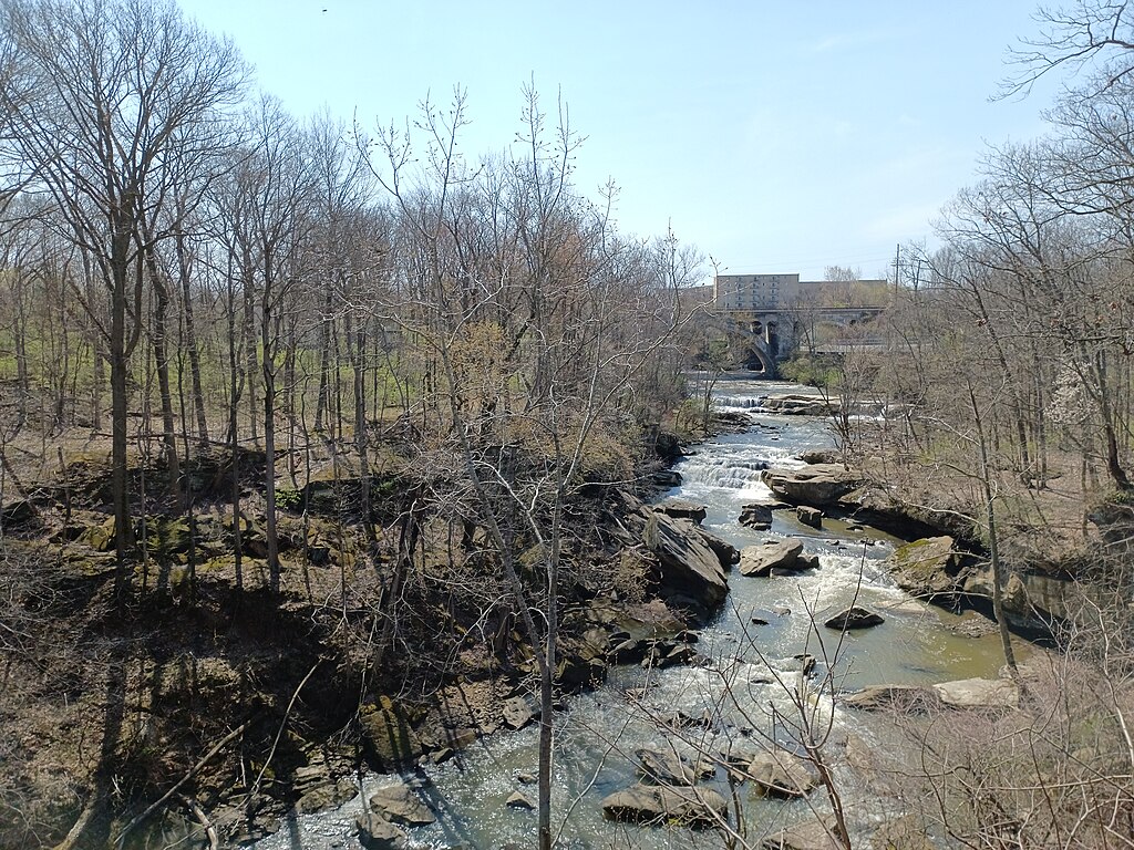
East Branch Rocky River
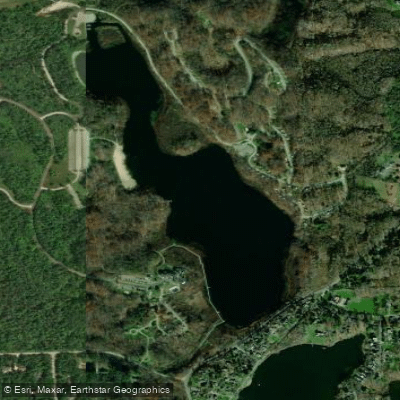
Punderson Lake
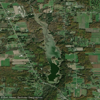
East Branch Reservoir
Explore Ohio waters
Top paddling waters
Popular Cities
Loading popular cities...
Explore near Grand River
Access points
Nearby waters
More in Ohio

Smarter Paddling Starts in the App.
Paddleways gives you everything you need to plan smarter, paddle better, and own every trip from first launch to takeout.