Marcus Hook Creek
- Saltwater
- Tidal creek

Marcus Hook Creek
- Saltwater
- Tidal creek
- Sq. miles
- 0
- Boat Ramps
- 0
- Access Points
- 0
- Campsites
- 0
Marcus Hook Creek is a tidal creek in Pennsylvania, USA, flowing into the Delaware River Estuary. Its upper tidal limit is at U.S. Route 13 in Marcus Hook Borough, defining the navigable head of tide for paddlers. The main stem of the creek is approximately 5.8 miles in length, draining a watershed of about 5.2 square miles. As a tidal estuary feature, paddling conditions are entirely governed by the Delaware River's tides, not by freshwater river flow. Paddlers must plan trips around the tidal cycle, as the current direction will reverse with the tide; launching near high tide can provide easier upstream access before the ebb. The creek flows in a southeasterly direction towards its confluence with the Delaware River.
Primary access for paddlers is at the Naamans Creek Bridge, which serves as a known put-in/take-out location. The creek is situated in a developed industrial and municipal area near Marcus Hook Borough. The surrounding landscape includes the watersheds of Naamans Creek and Stoney Creek. Given its urban estuary setting, paddlers should anticipate potential boat traffic, especially near the mouth where it meets the busy Delaware River shipping channel. Water quality in this industrialized corridor can be variable. The area is subject to standard Pennsylvania Fish and Boat Commission regulations for boating, and paddlers should be aware that specific fishing regulations, including seasonal closures and size limits for species like striped bass, are in effect for the tidal Delaware Estuary, which includes Marcus Hook Creek.
Water access, boat ramps & amenities
Learn how to get on Marcus Hook Creek. Uncover great paddling access points, boat ramps, and all the facilities you need for an unforgettable day on the water. Some locations shown may border or include private property. Always check property boundaries and applicable regulations before visiting. PaddleWays's Public & Private Land layer can help you plan your access with confidence.

Marcus Hook Creek Bridge
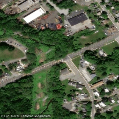
Marcus Hook Creek Bridge
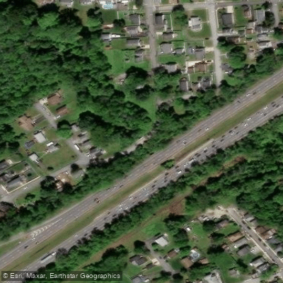
Marcus Hook Creek Bridge
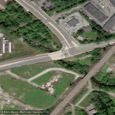
Naamans Creek/haul Road Bridge

Naamans Creek Bridge
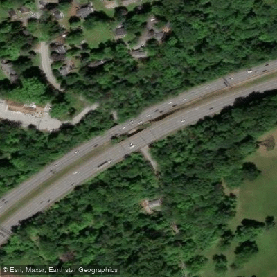
Naamans Creek Road Bridge
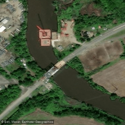
Oldmans Creek Bridge
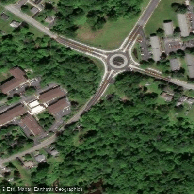
E.branch Naamans Creek Bridge

Septa(not Active Buried) Bridge
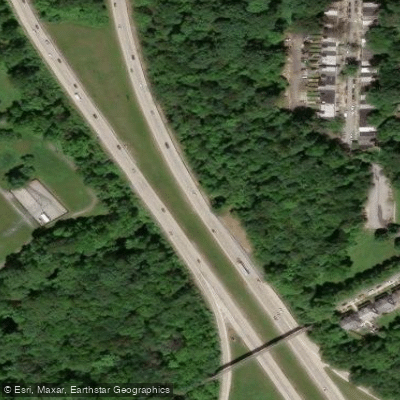
So.branch-naamans Creek Bridge
Paddle smarter with real-time insights
Whether you're en route and conditions shift or you're looking for the best spot based on current flows, we enable you to make informed decisions on the fly.








Find Places to Paddle

Over 400,000 Places to Paddle
Every user gets free access to launch points, boat ramps, and public property parcels.


Tides, wind & water conditions (10 day forecast)
On open water, wind and tide matter as much as the weather. See the best times to paddle Marcus Hook Creek and check the marine forecast before you launch.
Loading tide predictions…
Paddling near Marcus Hook Creek

Delaware River
Schuylkill River
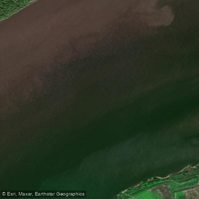
Marcus Hook Bar

Lums Pond

Delaware River, Essington, PA

Lake Nockamixon

Mullica River
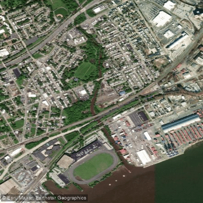
Ridley Creek
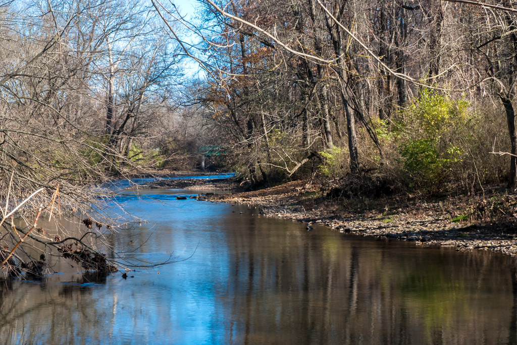
Wissahickon Creek
Explore Pennsylvania waters
Top paddling waters
Popular Cities
Loading popular cities...
Explore near Marcus Hook Creek
Access points
- Marcus Hook Creek Bridge
- Marcus Hook Creek Bridge
- Marcus Hook Creek Bridge
- Naamans Creek/haul Road Bridge
- Naamans Creek Bridge
- Naamans Creek Road Bridge
- Oldmans Creek Bridge
- E.branch Naamans Creek Bridge
- Septa(not Active Buried) Bridge
- So.branch-naamans Creek Bridge
- Branch Marcus Hook Creek Bridge
- Naamans Creek Bridge
- All 50 spots
Nearby waters
More in Pennsylvania

Smarter Paddling Starts in the App.
Paddleways gives you everything you need to plan smarter, paddle better, and own every trip from first launch to takeout.