Martins Creek
- Saltwater
- Tidal creek
Martins Creek
- Saltwater
- Tidal creek
- Sq. miles
- 0
- Boat Ramps
- 0
- Access Points
- 0
- Campsites
- 0
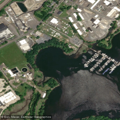
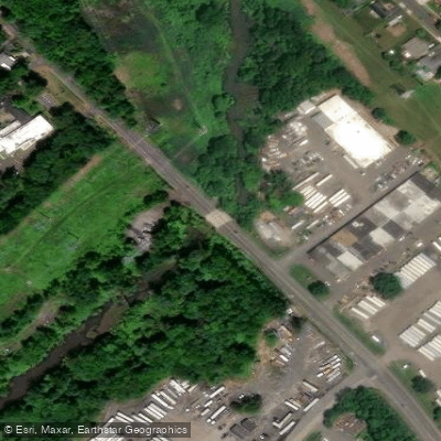
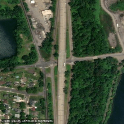
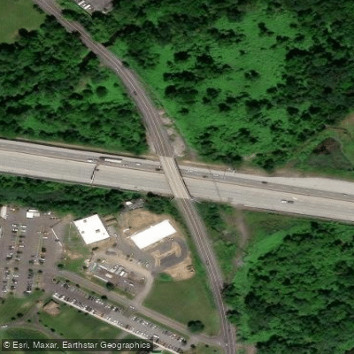
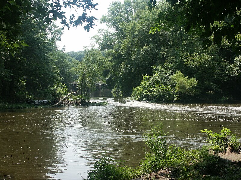
Martins Creek Boat Ramp is a concrete public boat ramp located on Depues Road in Bangor, Pennsylvania, near the Martins Creek community. It is situated just downriver from a railroad bridge and within the PPL Martins Creek Environmental Preserve, between an Interstate Energy Company facility and the Martins Creek Power Plant. This ramp serves as a primary put-in for the Delaware River, providing access for trailer-launched and hand-launched watercraft like kayaks and canoes. There is no fee or permit required to use it, and it has an associated parking lot. The ramp is positioned 0.4 miles north of the northern boundary of the Lower Delaware National Wild and Scenic River, making it the closest public launch for paddlers wishing to start a trip at the very beginning of the park section. A popular and recommended day trip is a 5.2-mile downstream paddle from the Martins Creek Boat Ramp to the Sandt’s Eddy Boat Ramp, which is the first official boat ramp within the park boundaries. This route takes paddlers through the scenic river corridor. The paddling is generally suitable for beginners, characterized by gentle moving water with a mild current. However, about two miles downstream from the Martins Creek access, the river narrows around islands and features Class 1 rapids, which consist of a few riffles and small waves. Paddlers should be aware that these conditions can change with water levels and storms, potentially increasing in difficulty or creating new obstructions. It is strongly advised to check water levels via the USGS gauge at Belvidere, New Jersey, before a trip, as levels significantly lower than 6.3 feet may require dragging boats over shallow sections, while higher levels can create more intense rapids. The overall character of this section of the Delaware River is tranquil, with banks that retain a natural, historic appearance. Facilities are limited to the boat ramp and parking. The recommended season for paddling runs from March through November, encompassing spring, summer, and fall.
Water access, boat ramps & amenities
Learn how to get on Martins Creek. Uncover great paddling access points, boat ramps, and all the facilities you need for an unforgettable day on the water. Some locations shown may border or include private property. Always check property boundaries and applicable regulations before visiting. PaddleWays's Public & Private Land layer can help you plan your access with confidence.
Paddle smarter with real-time insights
Whether you're en route and conditions shift or you're looking for the best spot based on current flows, we enable you to make informed decisions on the fly.








Find Places to Paddle

Over 400,000 Places to Paddle
Every user gets free access to launch points, boat ramps, and public property parcels.


Tides, wind & water conditions (10 day forecast)
On open water, wind and tide matter as much as the weather. See the best times to paddle Martins Creek and check the marine forecast before you launch.
Loading tide predictions…
Paddling near Martins Creek

Delaware River
Millstone River
Lake Nockamixon
Spruce Run Reservoir
Neshaminy Creek

Raritan River
South Branch Raritan River
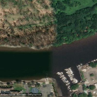
Burlington City Mooring Area
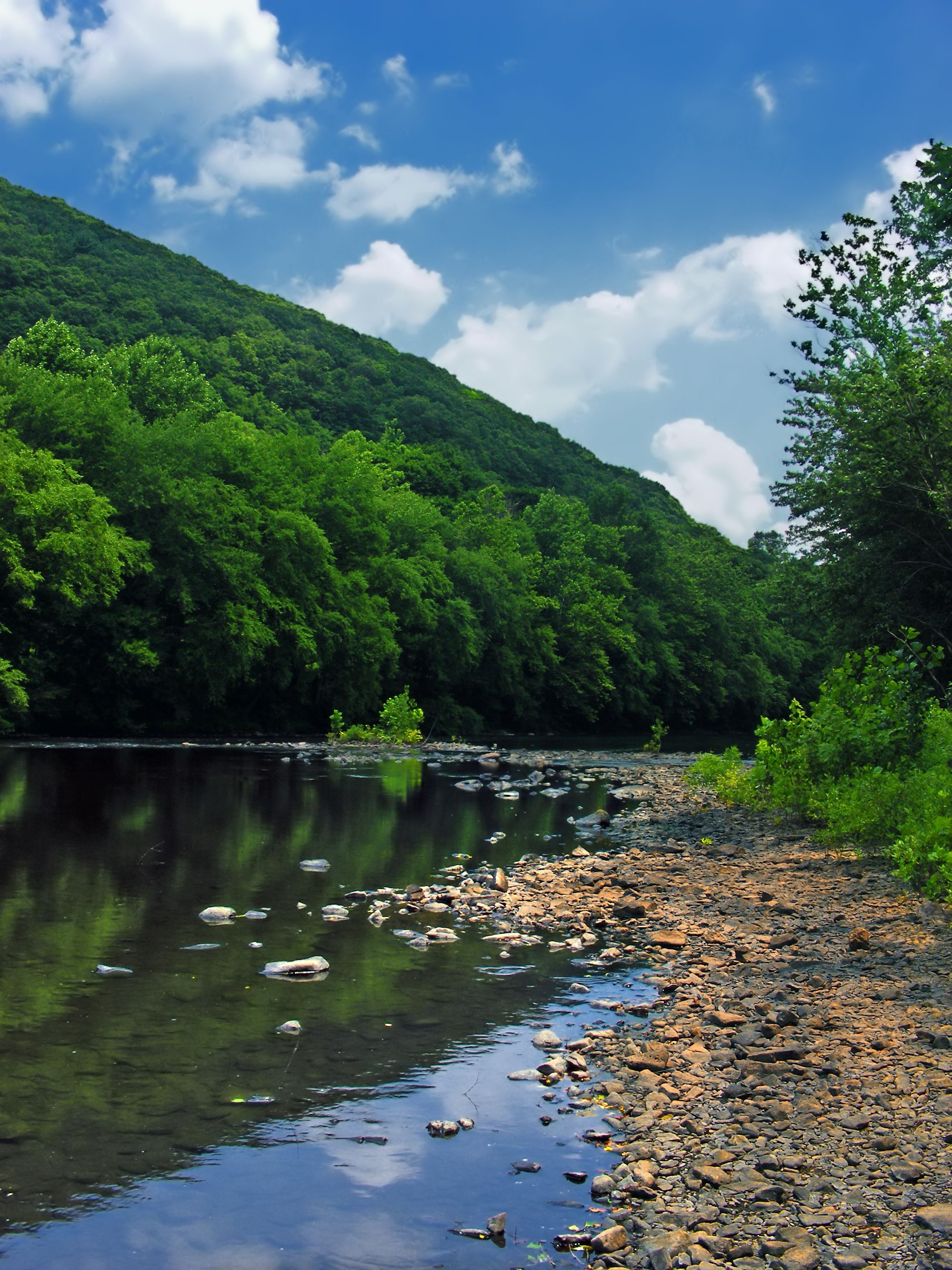
Schuylkill River
Explore Pennsylvania waters
Top paddling waters
Popular Cities
Loading popular cities...
Explore near Martins Creek
Access points
Nearby waters
More in Pennsylvania

Smarter Paddling Starts in the App.
Paddleways gives you everything you need to plan smarter, paddle better, and own every trip from first launch to takeout.