Neshaminy Creek
- Saltwater
- Tidal creek
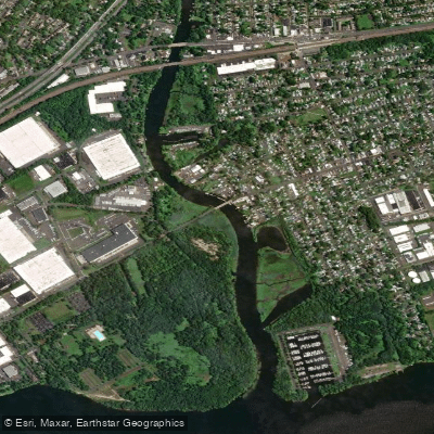
Neshaminy Creek
- Saltwater
- Tidal creek
- Sq. miles
- 0.1
- Boat Ramps
- 0
- Access Points
- 0
- Campsites
- 0
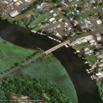
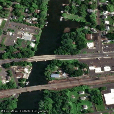
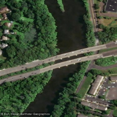
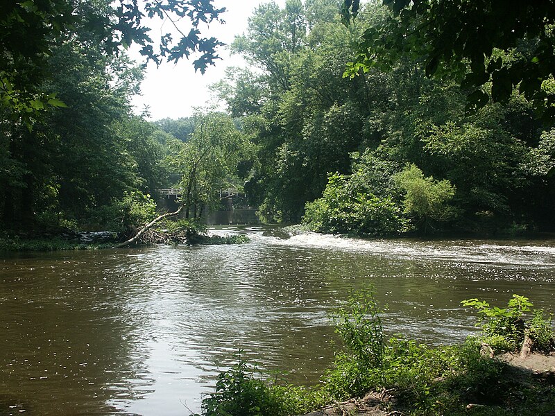
Neshaminy Creek in Bucks County, Pennsylvania, offers a calm and easy paddling environment, particularly on the stretch upstream from the boat rental facility within Tyler State Park near Newtown. This section is popular for kayaks, canoes, and paddleboards, with a typical up-and-back paddle covering a peaceful 1.4-mile section between the park and the Schofield Ford Covered Bridge. The current here is calm, making for an easy paddle upstream with a slight boost on the return. For a longer trip, paddlers can embark on a 14.5-mile journey from Bridge Point Park south of Doylestown down to Tyler State Park. This route features a mix of stony riffles and placid sections, with numerous rocks in the creek bed requiring careful navigation; a sturdy plastic boat is recommended. The water level, measured by a USGS gauge at Penn's Park, is a key consideration, with a level around 5.6 feet being sufficient to avoid grounding in most spots. This longer trip passes under notable structures including an eight-arch stone bridge in Dark Hollow Park and a covered bridge within Tyler State Park, just before the flow slows due to a dam. The creek's banks are mostly natural, with grass, wildflowers, brushy forest, and some bare cliffs. Wildlife such as turtles, kingfishers, great blue herons, geese, and ducks are commonly seen. All non-powered boats launched in Tyler State Park must display either a current boat registration, a Pennsylvania state park launch permit, or a Pennsylvania Fish and Boat Commission launch permit. Kayak, canoe, and paddleboard rentals are available on-site through Driftwood Water Adventures during the summer season.
Water access, boat ramps & amenities
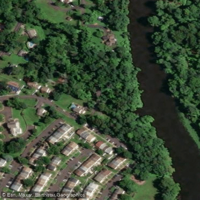
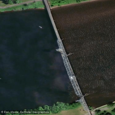
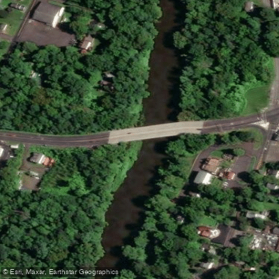
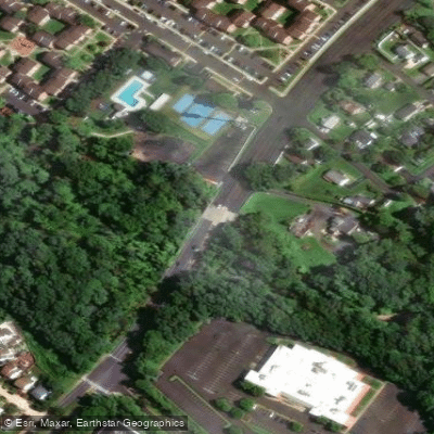
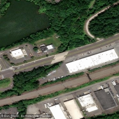
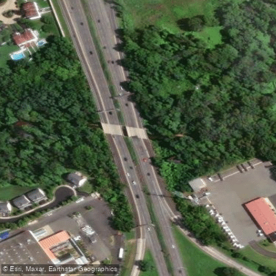
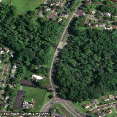
Learn how to get on Neshaminy Creek. Uncover great paddling access points, boat ramps, and all the facilities you need for an unforgettable day on the water. Some locations shown may border or include private property. Always check property boundaries and applicable regulations before visiting. PaddleWays's Public & Private Land layer can help you plan your access with confidence.
Paddle smarter with real-time insights
Whether you're en route and conditions shift or you're looking for the best spot based on current flows, we enable you to make informed decisions on the fly.








Find Places to Paddle

Over 400,000 Places to Paddle
Every user gets free access to launch points, boat ramps, and public property parcels.


Tides, wind & water conditions (10 day forecast)
On open water, wind and tide matter as much as the weather. See the best times to paddle Neshaminy Creek and check the marine forecast before you launch.
Loading tide predictions…
Paddling near Neshaminy Creek

Delaware River
Millstone River
Martins Creek
Lake Nockamixon
Spruce Run Reservoir

Raritan River
South Branch Raritan River
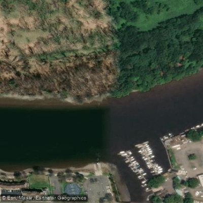
Burlington City Mooring Area
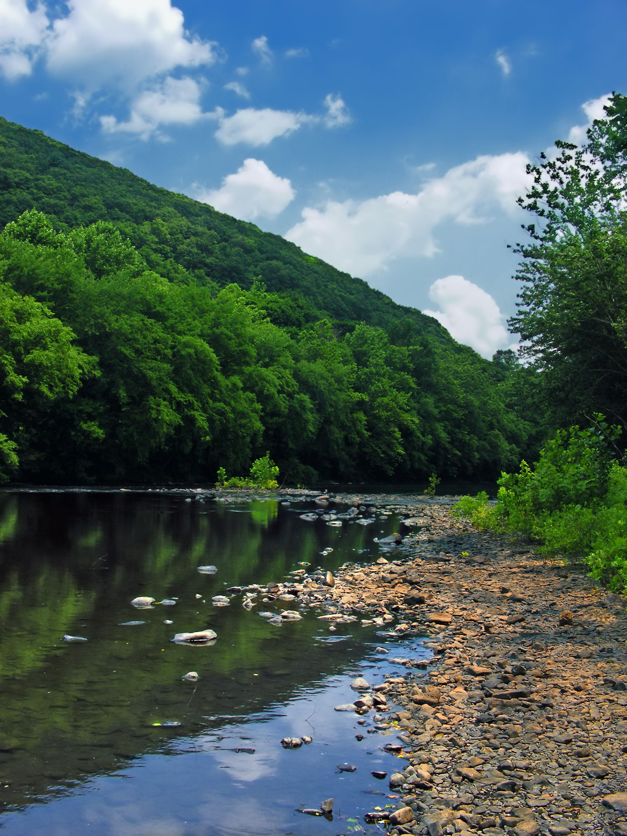
Schuylkill River
Explore Pennsylvania waters
Top paddling waters
Popular Cities
Loading popular cities...
Explore near Neshaminy Creek
Access points
Nearby waters
More in Pennsylvania

Smarter Paddling Starts in the App.
Paddleways gives you everything you need to plan smarter, paddle better, and own every trip from first launch to takeout.