Curated by PaddleWays
RouteClass I–III
- Distance
- 9.6 mi
- Paddle time
- ~2.5 hrs
- Best for
- Intermediate paddlers
- Put-in → take-out
- Volant Access → Gearson Camp Access
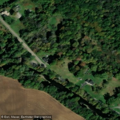
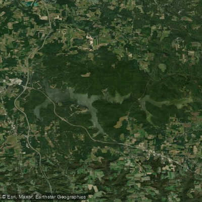
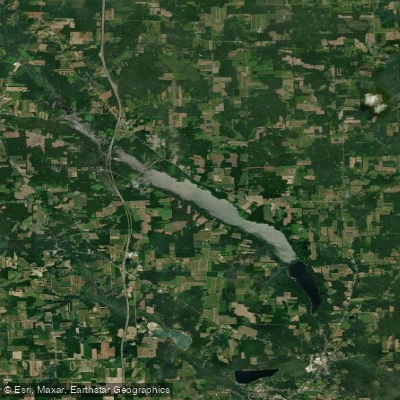
Neshannock Creek is a scenic waterway located in western Pennsylvania, primarily flowing through Lawrence County. This tributary of the Shenango River originates in Mercer County and travels southwest for approximately 30 miles before joining the Shenango near New Castle. The creek drains a watershed of about 170 square miles.
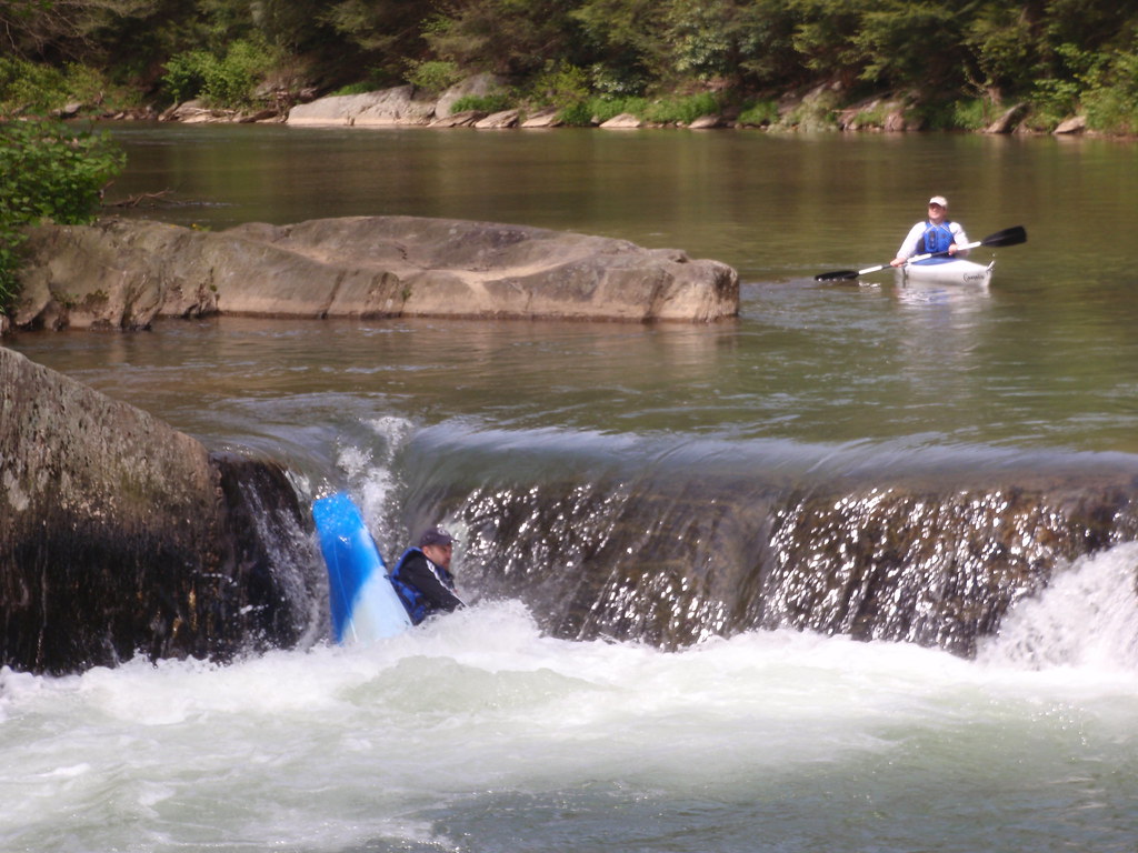
For paddlers, Neshannock Creek offers diverse experiences across its length. The northern section, known as the Neshannock Gorge, provides a popular 2-mile run from Covered Bridge Road to Sipe Road. This stretch features Class I-II rapids with occasional Class III features at higher water levels, making it suitable for intermediate paddlers. The first 2.5 miles offer calm waters and small wave trains, serving as an excellent warm-up before entering the more challenging gorge area.
Further downstream, the southern section called Big Run presents a more intense 1.5-mile stretch from Savannah Road to the confluence with the Shenango River. This segment boasts Class III-IV rapids, attracting experienced whitewater enthusiasts seeking technical challenges. The creek's difficulty ranges from Class I to IV, depending on the section and water levels. Paddlers should possess solid whitewater skills, especially for the southern portion.
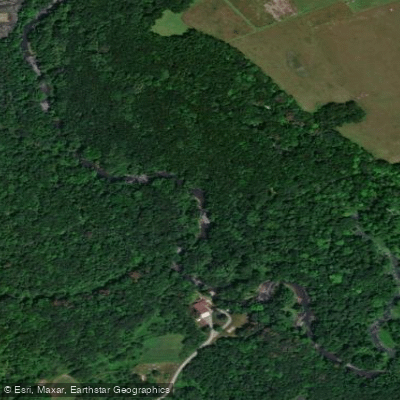
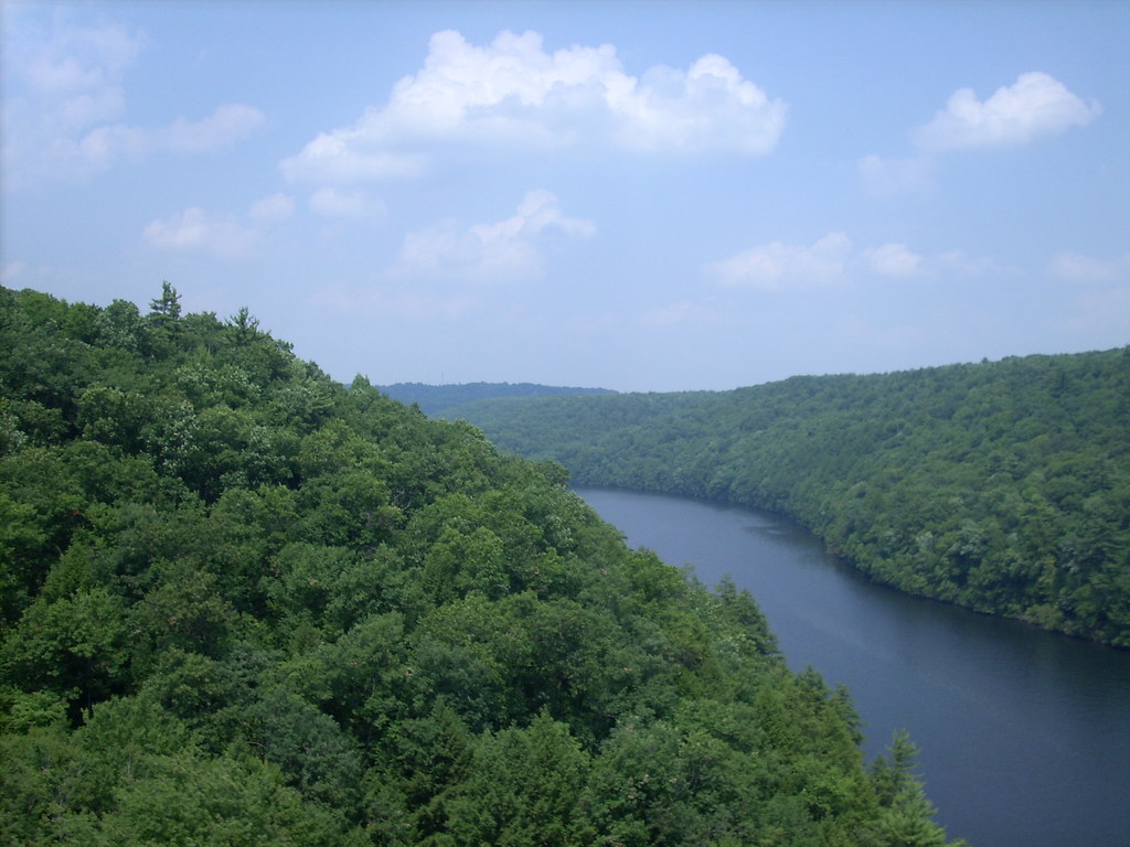
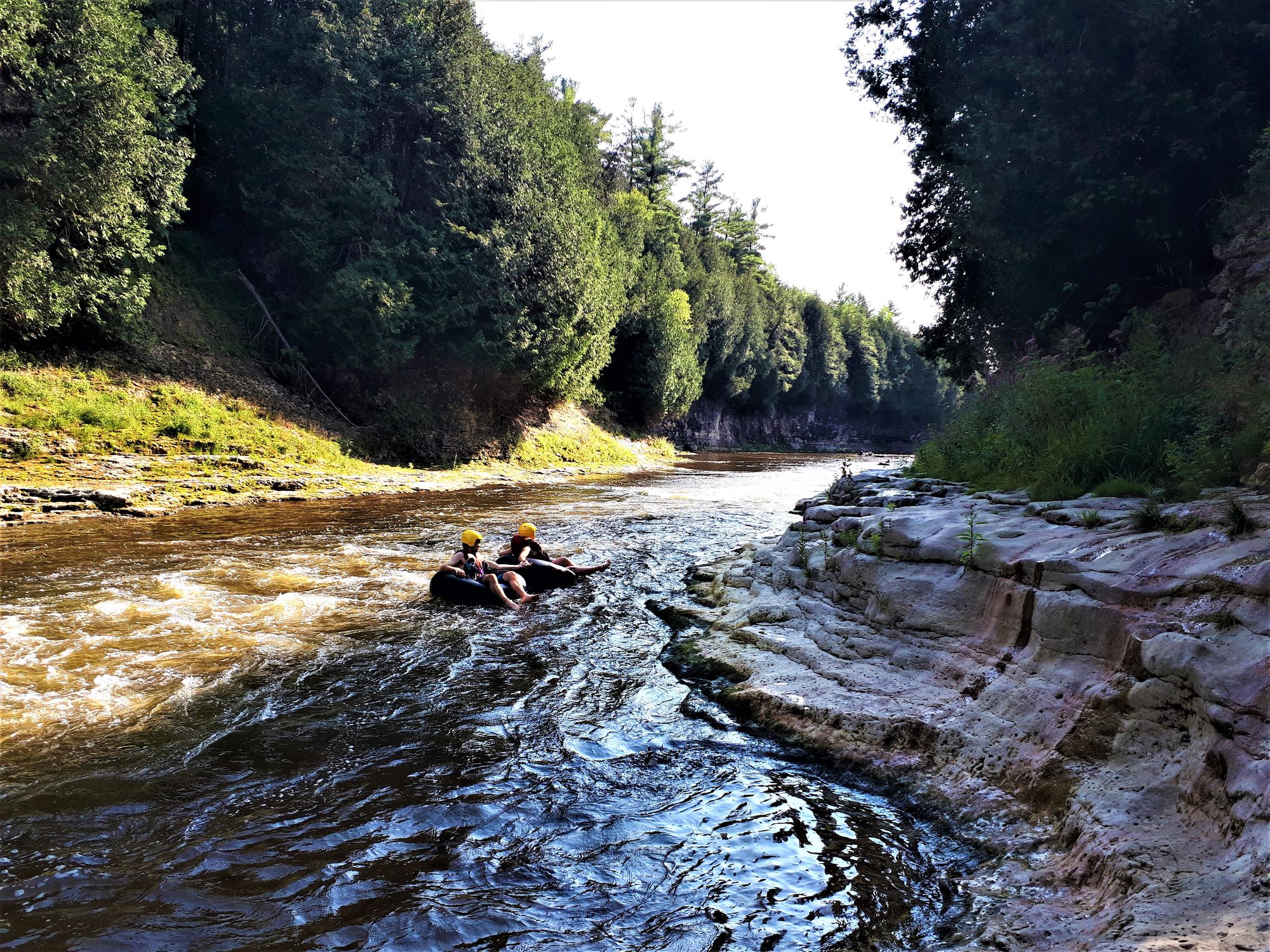
The best paddling seasons are typically from November to January and May to early summer when water levels are optimal. Neshannock Creek flows through a mix of forested and agricultural landscapes, supporting diverse wildlife including various fish species, waterfowl, and riparian mammals. The gorge section offers scenic views of rocky outcrops and dense vegetation.
Key access points include Covered Bridge Road and Sipe Road for the Neshannock Gorge run, while Savannah Road serves as the put-in for the more challenging Big Run section. The nearby town of New Castle provides amenities for paddlers.
Safety considerations include checking water levels before paddling, as the creek can become dangerous during high water events. Paddlers should also be aware of potential strainers and other obstacles, particularly in the gorge and Big Run sections. While primarily used for day trips, the creek's proximity to other regional waterways like the Shenango and Beaver Rivers offers opportunities for multi-day paddling adventures for those looking to explore more of western Pennsylvania's waterways.
Curated routes
Hand-picked by the PaddleWays team, with put-ins, take-outs, paddle times and the hazards along the way.
RouteClass I–III
Hazards
No paddler has reported a hazard here yet, so these are the dams, falls and big rapids on our map. Hazards change with flows and storms, so check them before you launch.
From the community
Nobody has shared a trip on Neshannock Creek yet. Paddle it, then tell the next paddler how it went.
See exactly where the public can get on and off the river. Launch points and boat ramps are paired with PaddleWays' public land data so you know where you can legally land.
Public shoreline
13%of the river's shoreline is public
Most of the riverbank is private. Launch, land and camp only at public access points.
Flows, weather and a route-by-route verdict, so you know which stretch of the Neshannock Creek is worth paddling today.
No forecast data available.
Live flows, marked hazards and fresh trip reports from paddlers who were just on the water, all in one place.





Every user gets free access to launch points, boat ramps, and public property parcels.

Loading popular cities...
PaddleWays gives you everything you need to plan smarter, paddle better, and own every trip from first launch to takeout.