Curated by PaddleWays
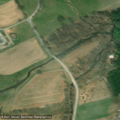
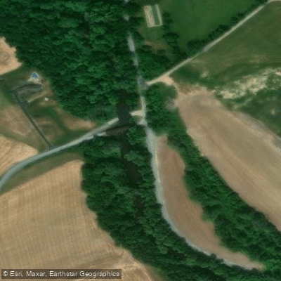
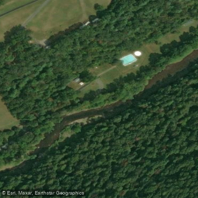
RouteFlatwater
- Distance
- 3.3 mi
- Paddle time
- 2 hrs
- Put-in → take-out
- Dellville Road Access → Hawk Rock Access
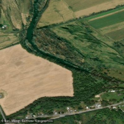
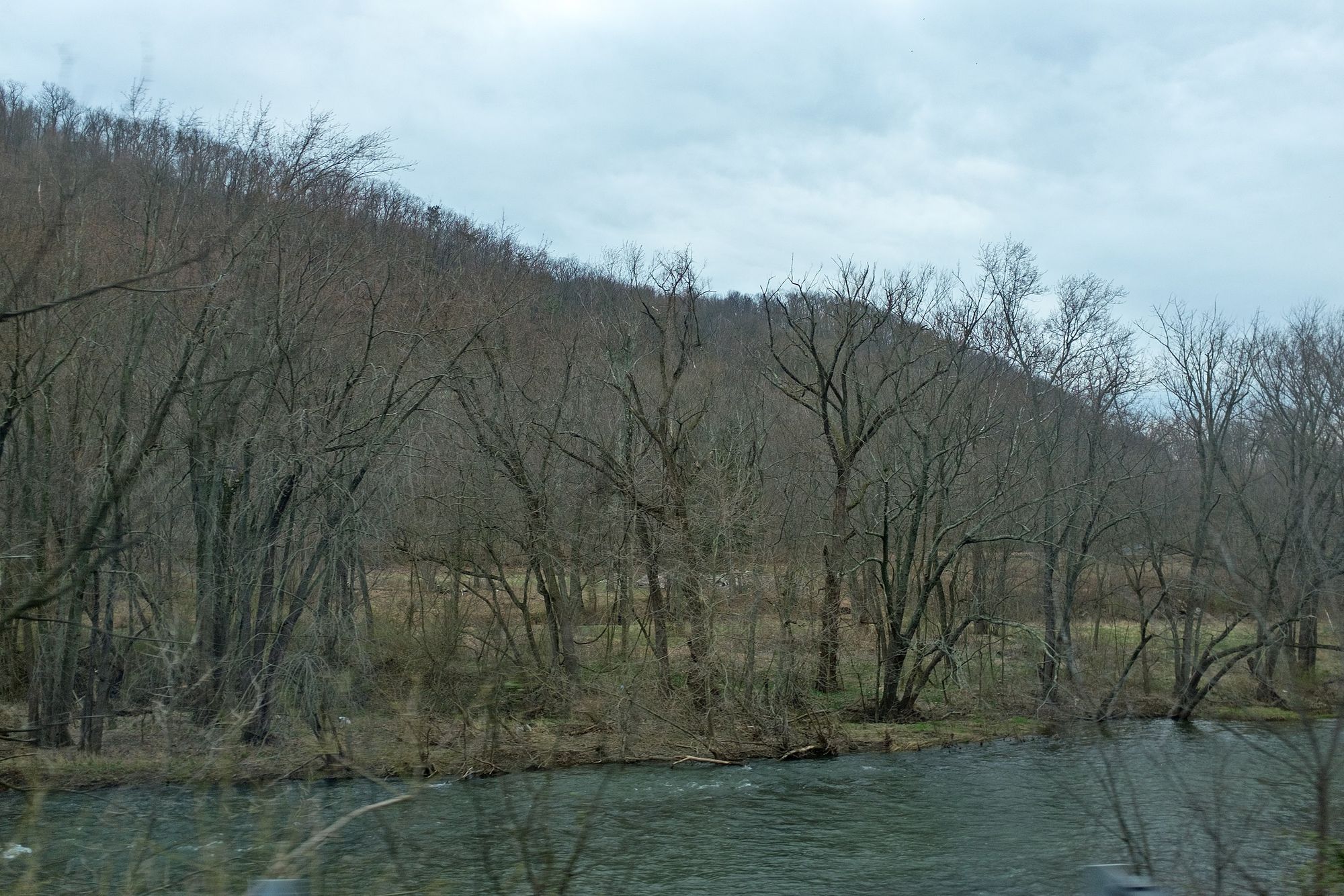
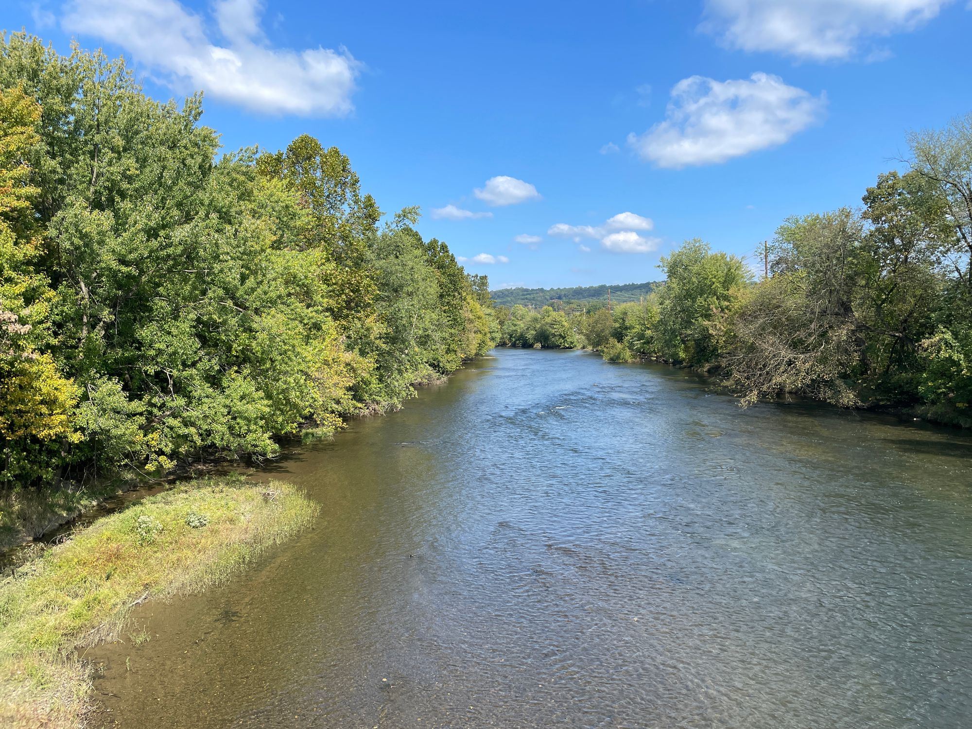
Shermans Creek is a scenic 53.4-mile long tributary of the Susquehanna River located entirely within Perry County in south-central Pennsylvania. The creek originates in the western mountainous region of the county and flows generally eastward, draining a watershed of rural farmland and forested ridges before joining the Susquehanna just downstream of Duncannon. This picturesque waterway offers paddlers a variety of experiences, from peaceful floats through pastoral countryside to more exciting runs through a dramatic gorge.
The most popular paddling section is the 13.5-mile stretch from Shermans Dale to Duncannon, which typically takes about 5 hours to complete. This run features Class II rapids and culminates in a gorgeous gorge along Cove Mountain with large boulders and steep forested slopes. For those seeking a shorter trip, the 8-mile section from Dellville to Duncannon provides a nice mix of scenery and moderate whitewater. Flatwater paddlers can enjoy the upper reaches near New Germantown, where the creek meanders through quiet farmland. A notable feature here is a multi-tiered 40-foot waterfall visible from the creek about half a mile below the Route 850 bridge.
The creek is generally suitable for intermediate paddlers, with mostly Class I-II rapids. However, high water levels can increase difficulty, so checking gauges and weather forecasts is essential. Spring and early summer typically offer the best water levels for paddling. Shermans Creek is renowned for its covered bridges, with eight spanning its waters. These historic structures, along with the creek's role in the region's early settlement and industrial development, give it significant cultural importance.
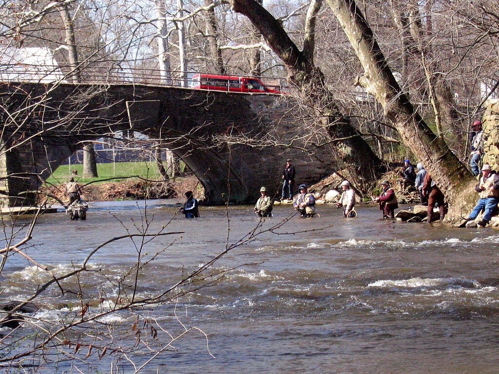
The creek also supports diverse wildlife, including smallmouth bass, which attract anglers to its waters. Key access points include New Germantown, Shermans Dale, Dellville, and Duncannon. Paddlers should be aware of potential strainers and should portage around any dams encountered. Multi-day trips are possible by camping along the banks, but paddlers should respect private property and practice Leave No Trace principles.
Whether seeking a peaceful float or an adventurous day trip, Shermans Creek offers paddlers a quintessential Pennsylvania creek experience, showcasing the state's natural beauty and rich history.
Curated routes
Hand-picked by the PaddleWays team, with put-ins, take-outs, paddle times and the hazards along the way.
RouteFlatwater
RouteClass II
RouteFlatwater
Hazards
No paddler has reported a hazard here yet, so these are the dams, falls and big rapids on our map. Hazards change with flows and storms, so check them before you launch.
From the community
Nobody has shared a trip on Shermans Creek yet. Paddle it, then tell the next paddler how it went.
See exactly where the public can get on and off the river. Launch points and boat ramps are paired with PaddleWays' public land data so you know where you can legally land.
Public shoreline
9%of the river's shoreline is public
Most of the riverbank is private. Launch, land and camp only at public access points.
Flows, weather and a route-by-route verdict, so you know which stretch of the Shermans Creek is worth paddling today.
Live flows, marked hazards and fresh trip reports from paddlers who were just on the water, all in one place.





Every user gets free access to launch points, boat ramps, and public property parcels.

Loading popular cities...
PaddleWays gives you everything you need to plan smarter, paddle better, and own every trip from first launch to takeout.