Curated by PaddleWays
RouteClass II–III
- Distance
- 4.1 mi
- Paddle time
- ~1 hr
- Best for
- Intermediate paddlers
- Put-in → take-out
- Kennedy Mill Access → Slippery Rock Creek Take-out
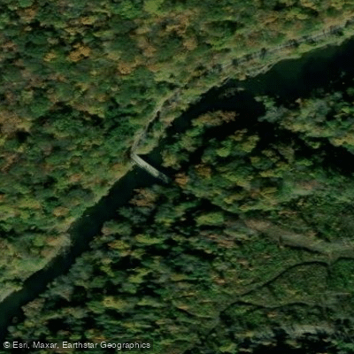
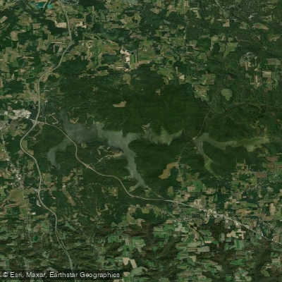
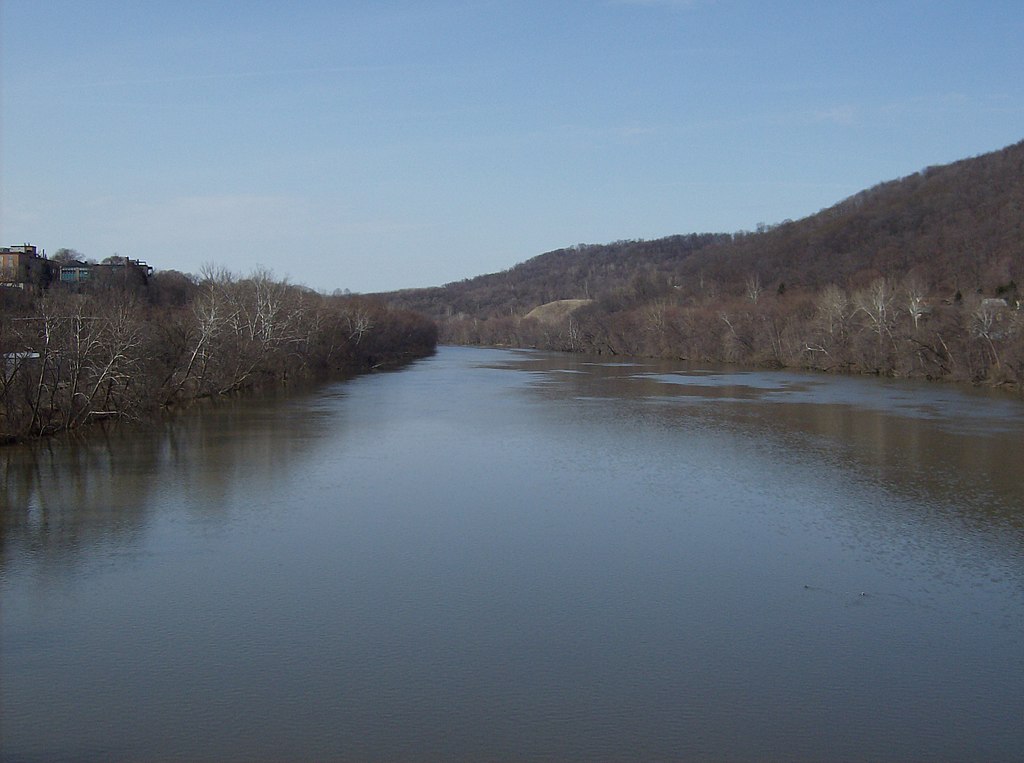
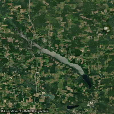
Slippery Rock Creek emerges near Hilliards in Butler County, Pennsylvania, flowing southwest for approximately 40 miles before joining Connoquenessing Creek near Ellport. This free-flowing stream carves through western Pennsylvania's scenic landscape, most notably the dramatic Slippery Rock Gorge in McConnells Mill State Park. Paddlers can experience a range of conditions, from placid flatwater to challenging whitewater. The upper reaches offer easier Class I-II paddling, while the gorge section presents a thrilling Class III-IV run.
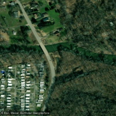
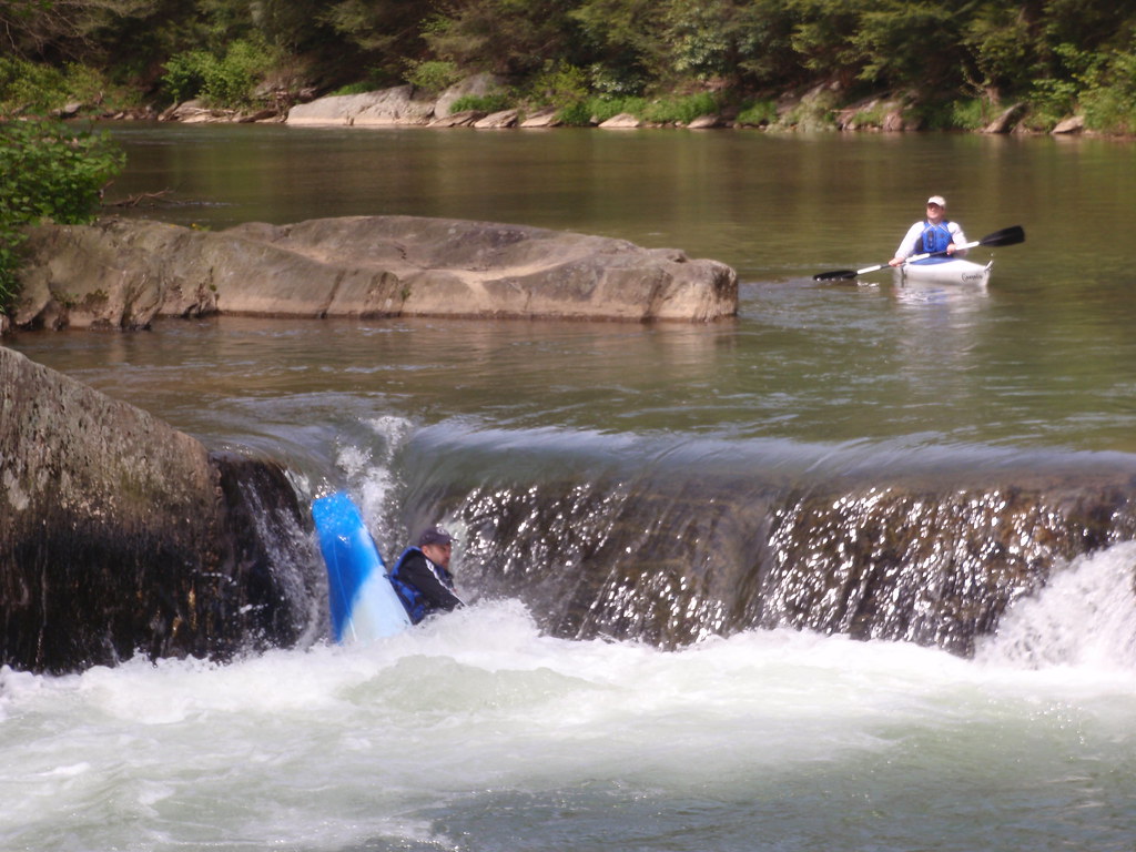
The 2.62-mile Slippery Rock Gorge run, starting at Rose Point Bridge and ending at Eckert's Bridge, is particularly popular among intermediate to advanced paddlers. Notable rapids include Airport, Maytag, Triple Drop, and Gib's Nemesis. Downstream, the 3.62-mile Lower Slippery Rock section from Eckert's Bridge to Harris Bridge provides a more moderate Class I-II experience.
Water levels fluctuate seasonally, with spring snowmelt and rainfall typically offering the most reliable flows. The creek is often paddleable from late fall through early summer, with optimal conditions generally occurring between 1000-1600 cfs for a big water feel without excessive hazards.
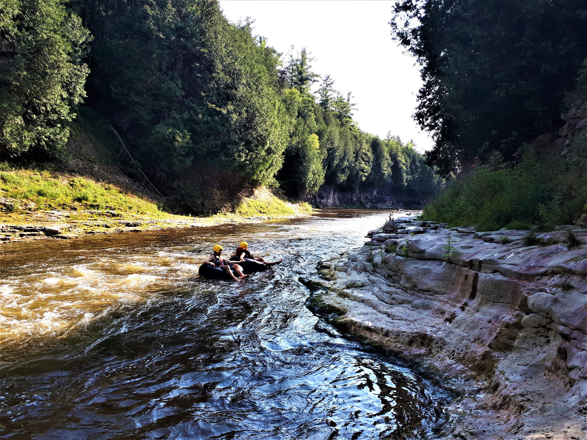
The creek's corridor supports diverse flora and fauna, including stands of hemlock and hardwoods that provide habitat for various wildlife. Paddlers may spot white-tailed deer, wild turkeys, and numerous bird species. Key landmarks include the historic gristmill at McConnells Mill State Park, a focal point showcasing the area's industrial heritage. The gorge itself, with its towering rock formations and cascading waterfalls, offers breathtaking scenery.
Primary access points include Rose Point Bridge near New Castle, Eckert's Bridge, and Harris Bridge near Portersville. These put-ins and take-outs allow for flexible trip planning, from short runs to full-day adventures.
Safety considerations are paramount, especially in the gorge section where scouting is advisable. Inflatable watercraft must be at least 8 feet long with a 14-inch outside tube diameter, as per park regulations. Paddlers should be prepared for swift currents, hidden obstacles, and potentially cold water.
While multi-day trips are less common due to the creek's length, ambitious paddlers can combine sections or continue onto Connoquenessing Creek for extended journeys. The Slippery Rock Creek watershed not only provides exceptional recreational opportunities but also serves as a vital ecological corridor in western Pennsylvania.
Curated routes
Hand-picked by the PaddleWays team, with put-ins, take-outs, paddle times and the hazards along the way.
RouteClass II–III
RouteClass I–II
Hazards
No paddler has reported a hazard here yet, so these are the dams, falls and big rapids on our map. Hazards change with flows and storms, so check them before you launch.
From the community
Nobody has shared a trip on Slippery Rock Creek yet. Paddle it, then tell the next paddler how it went.
See exactly where the public can get on and off the river. Launch points and boat ramps are paired with PaddleWays' public land data so you know where you can legally land.
Public shoreline
20%of the river's shoreline is public
Most of the riverbank is private. Launch, land and camp only at public access points.
Flows, weather and a route-by-route verdict, so you know which stretch of the Slippery Rock Creek is worth paddling today.
Live flows, marked hazards and fresh trip reports from paddlers who were just on the water, all in one place.





Every user gets free access to launch points, boat ramps, and public property parcels.


Loading popular cities...
PaddleWays gives you everything you need to plan smarter, paddle better, and own every trip from first launch to takeout.