Rancocas Creek
- Saltwater
- Tidal creek
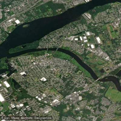
Rancocas Creek
- Saltwater
- Tidal creek
- Sq. miles
- 0.5
- Boat Ramps
- 2
- Access Points
- 1
- Campsites
- 0
Rancocas Creek in New Jersey is a complex water system offering both tidal and non-tidal paddling experiences. The creek features three main tributaries: the North, South, and Southwest Branches, with the North Branch providing the primary navigable section. A significant portion of the creek, particularly below Mount Holly, is tidal, requiring careful tide planning. Paddlers frequently coordinate trips to paddle upstream on a rising tide and return downstream with the falling tide, as evidenced by routes like Timbuctoo to Mill Dam and back. The creek transitions from a non-tidal, meandering river with high, wooded banks upstream to a wider tidal creek as it approaches its confluence with the Delaware River.
Key access points are numerous, with over 16 different landings and launches. Specific put-ins and take-outs include Browns Mills on Route 530 behind Domino's Pizza, Iron Works Park in Mount Holly (with options above or below a dam requiring a portage), and Hainesport at Walnut and Spruce Avenues. Rancocas State Park is a central feature, containing the confluence of the North and South Branches. The "Wishbone Trail" is a notable route of roughly 8 miles from Mount Holly down the North Branch to the confluence and then up the South Branch to Hainesport, which involves paddling against the current for the final stretch.
The character of the paddling varies by section. The non-tidal North Branch from Browns Mills to Mount Holly is an easy, pretty, wide, and meandering river with firm banks and towering trees, suitable for beginners. Downed wood may require lift-overs just below Browns Mills. The tidal sections near and below Mount Holly involve stronger currents dictated by the tide cycle. The area is rich in history, with Mount Holly being one of New Jersey's oldest settlements, and the creek itself has Revolutionary War significance. Wildlife sightings include bald eagles. For trip planning, paddlers are advised to consult tide charts and local outfitters like Rancocas Pathways, which offers rentals, shuttles, and guidance on daily conditions. The creek system is part of the Rancocas Creek Water Trail, with approximately 80 miles of tidal and non-tidal waters to explore.
Water access, boat ramps & amenities
Learn how to get on Rancocas Creek. Uncover great paddling access points, boat ramps, and all the facilities you need for an unforgettable day on the water. Some locations shown may border or include private property. Always check property boundaries and applicable regulations before visiting. PaddleWays's Public & Private Land layer can help you plan your access with confidence.
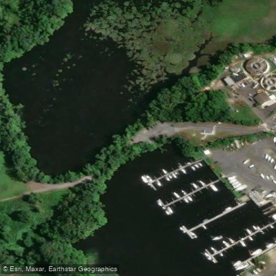
Paddle smarter with real-time insights
Whether you're en route and conditions shift or you're looking for the best spot based on current flows, we enable you to make informed decisions on the fly.








Find Places to Paddle

Over 400,000 Places to Paddle
Every user gets free access to launch points, boat ramps, and public property parcels.


Tides, wind & water conditions (10 day forecast)
On open water, wind and tide matter as much as the weather. See the best times to paddle Rancocas Creek and check the marine forecast before you launch.
Loading tide predictions…
Paddling near Rancocas Creek

Delaware River
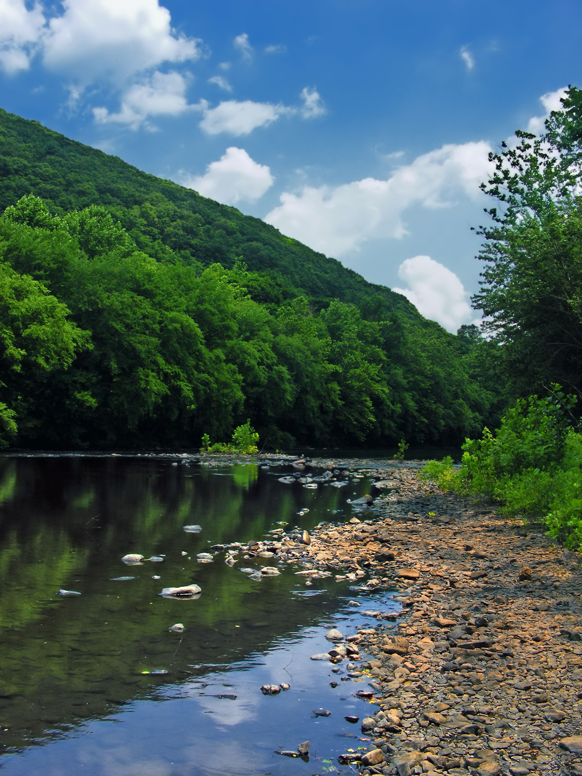
Schuylkill River
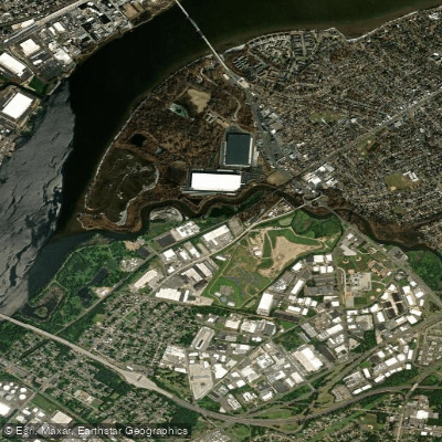
Pennsauken Creek
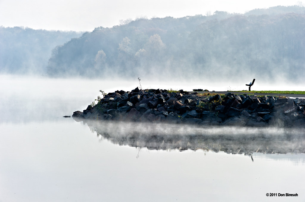
Lake Nockamixon
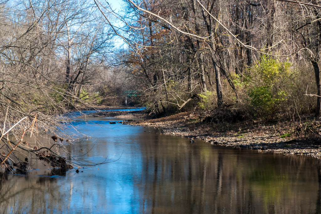
Wissahickon Creek
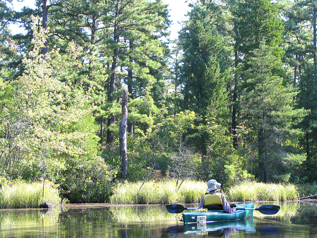
Mullica River
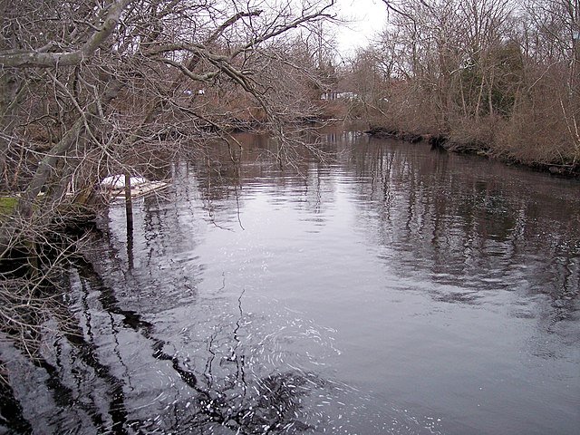
Great Egg Harbor River
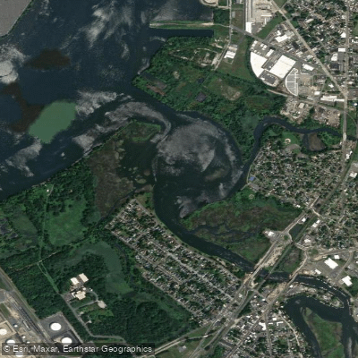
Big Timber Creek
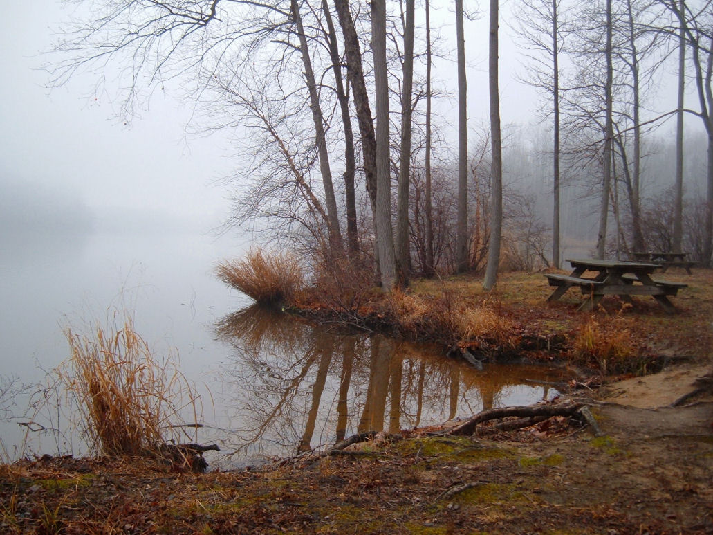
Lums Pond
Explore New Jersey waters
Top paddling waters
Popular Cities
Loading popular cities...
Explore near Rancocas Creek
Access points
Nearby waters
More in New Jersey

Smarter Paddling Starts in the App.
Paddleways gives you everything you need to plan smarter, paddle better, and own every trip from first launch to takeout.