Pennsauken Creek
- Saltwater
- Tidal creek
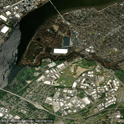
Pennsauken Creek
- Saltwater
- Tidal creek
- Sq. miles
- 0.1
- Boat Ramps
- 0
- Access Points
- 0
- Campsites
- 0
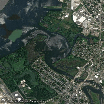
Pennsauken Creek is a tidal creek in New Jersey, USA, flowing into the Delaware River. For paddlers, the primary access point is the Pennsauken Creek Municipal Boat Launch, which serves as a gateway to the Delaware River. Another documented launch point is located on Forklanding Road in Riverton, which offers parking and restroom facilities. The creek is part of a broader network of waterways in Camden County that are slated for water quality improvements. The paddling environment is influenced by tidal currents from the Delaware River, and paddlers must plan their trips around these tides, paddling against the current on one leg of the journey. The creek offers a view of the Palmyra Cove Nature Park, though a boardwalk trail extending into the coves and towards the creek has been reported to be in disrepair. The surrounding area includes natural trails, such as the Pennsauken Historical Society Nature Trail, which provides scenic views of the creek. The water body is used for recreational activities like kayaking and picnicking. Guided tours and educational programs are sometimes offered to promote environmental awareness of the local ecosystem. Paddlers should be prepared for potential boat traffic, especially near the confluence with the Delaware River, and should be aware of wind conditions which can create fetch on the broader sections of the creek and river.
Water access, boat ramps & amenities
Learn how to get on Pennsauken Creek. Uncover great paddling access points, boat ramps, and all the facilities you need for an unforgettable day on the water. Some locations shown may border or include private property. Always check property boundaries and applicable regulations before visiting. PaddleWays's Public & Private Land layer can help you plan your access with confidence.
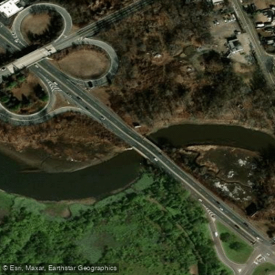
Pennsauken Creek Bridge
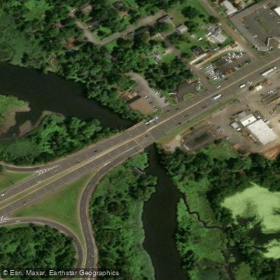
No.br. Pennsauken Creek Bridge
Del. R R.ave Con Nj Tr. Bridge
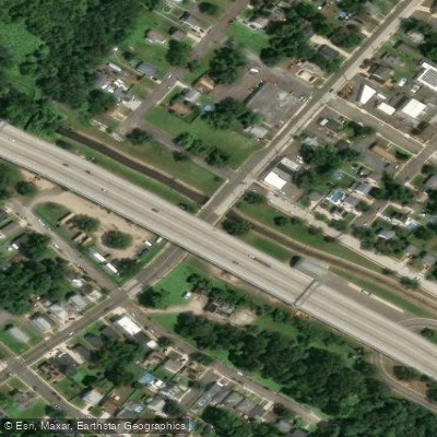
Pochack Creek Bridge
Fork Lnd Rd&s Br Penn Ck Bridge
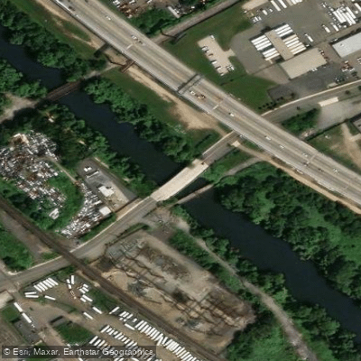
Frankford Creek Bridge
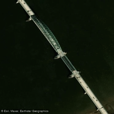
Delaware River Bridge
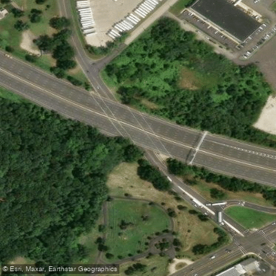
Union Avenue Bridge

I-95; Ramps Ee C X Y Bridge
Pennsauken Creek Bridge
Paddle smarter with real-time insights
Whether you're en route and conditions shift or you're looking for the best spot based on current flows, we enable you to make informed decisions on the fly.








Find Places to Paddle

Over 400,000 Places to Paddle
Every user gets free access to launch points, boat ramps, and public property parcels.


Tides, wind & water conditions (10 day forecast)
On open water, wind and tide matter as much as the weather. See the best times to paddle Pennsauken Creek and check the marine forecast before you launch.
Loading tide predictions…
Paddling near Pennsauken Creek

Delaware River
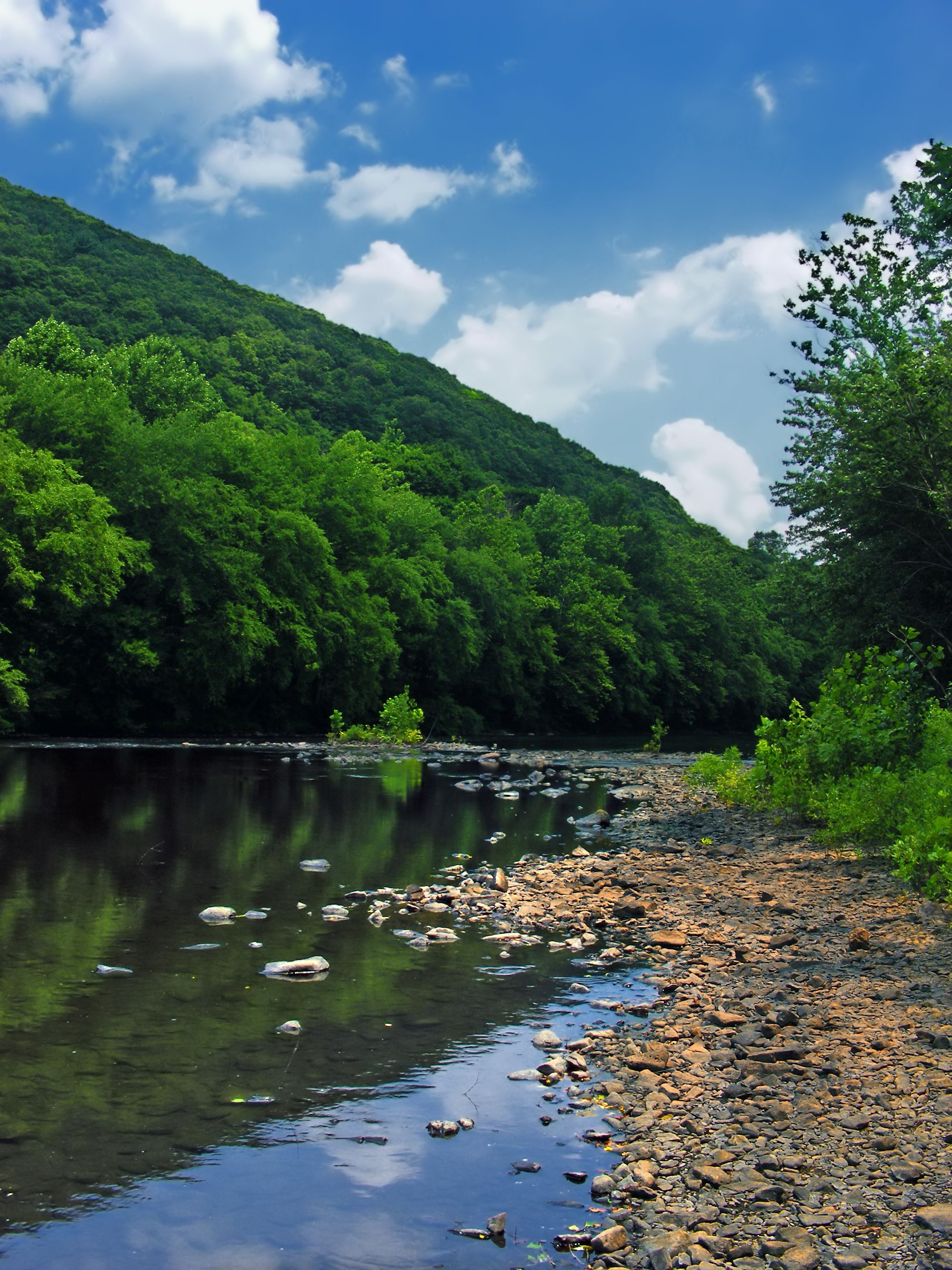
Schuylkill River
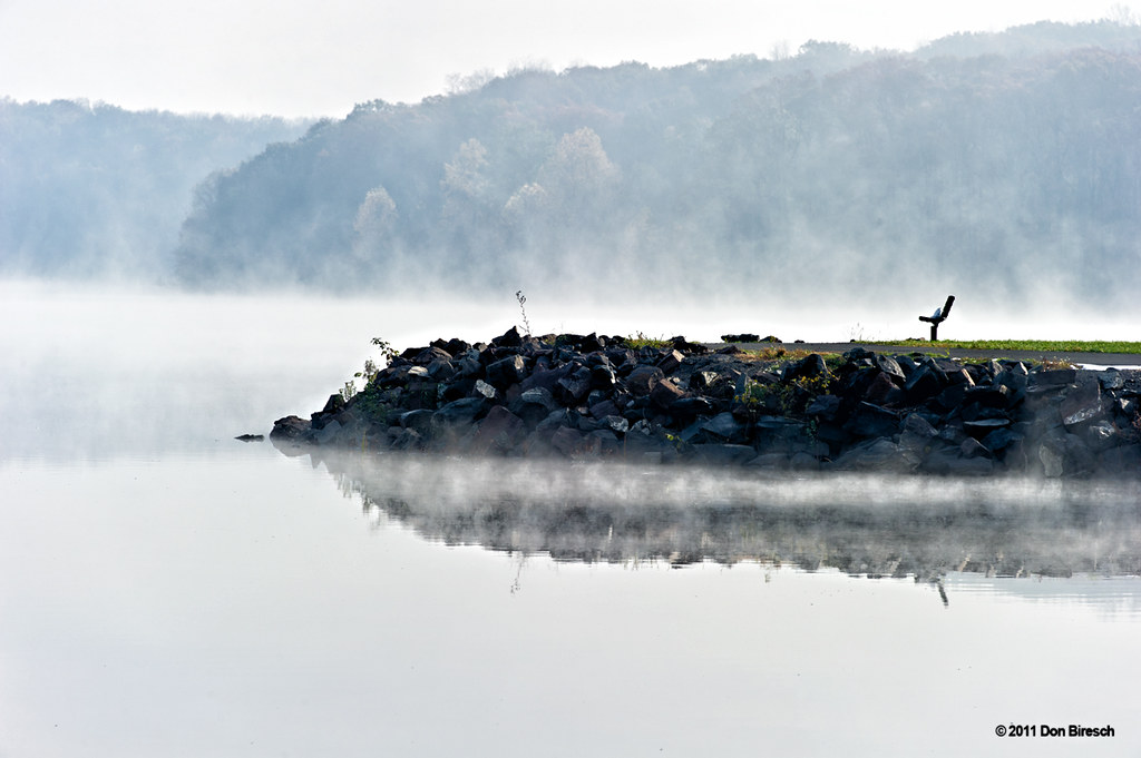
Lake Nockamixon
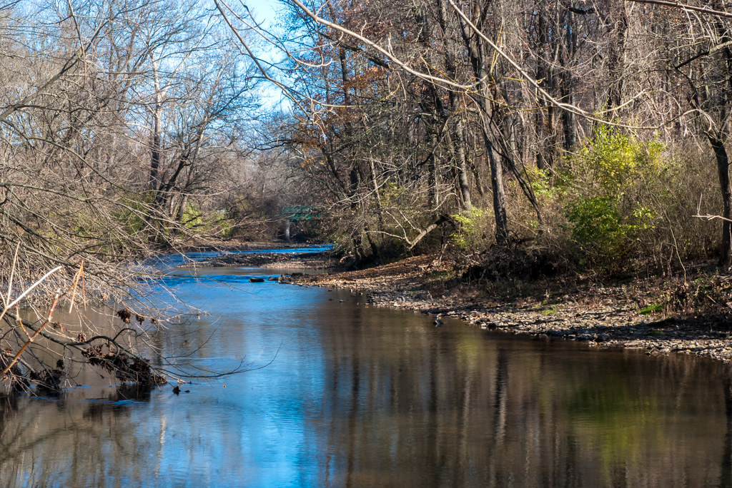
Wissahickon Creek
Rancocas Creek

Mullica River
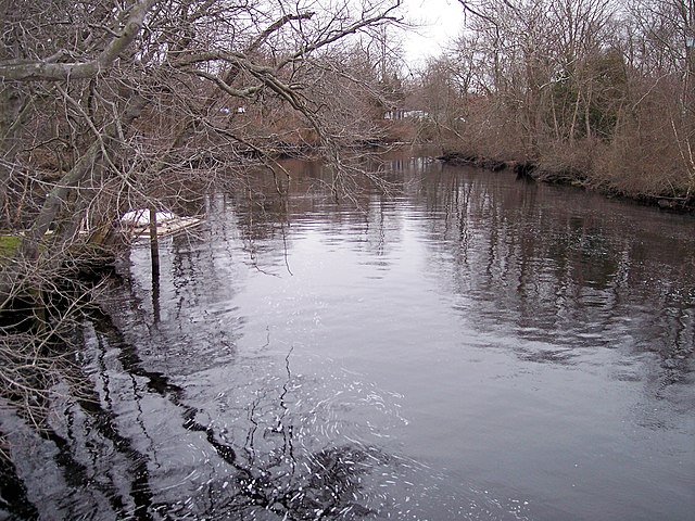
Great Egg Harbor River
Big Timber Creek
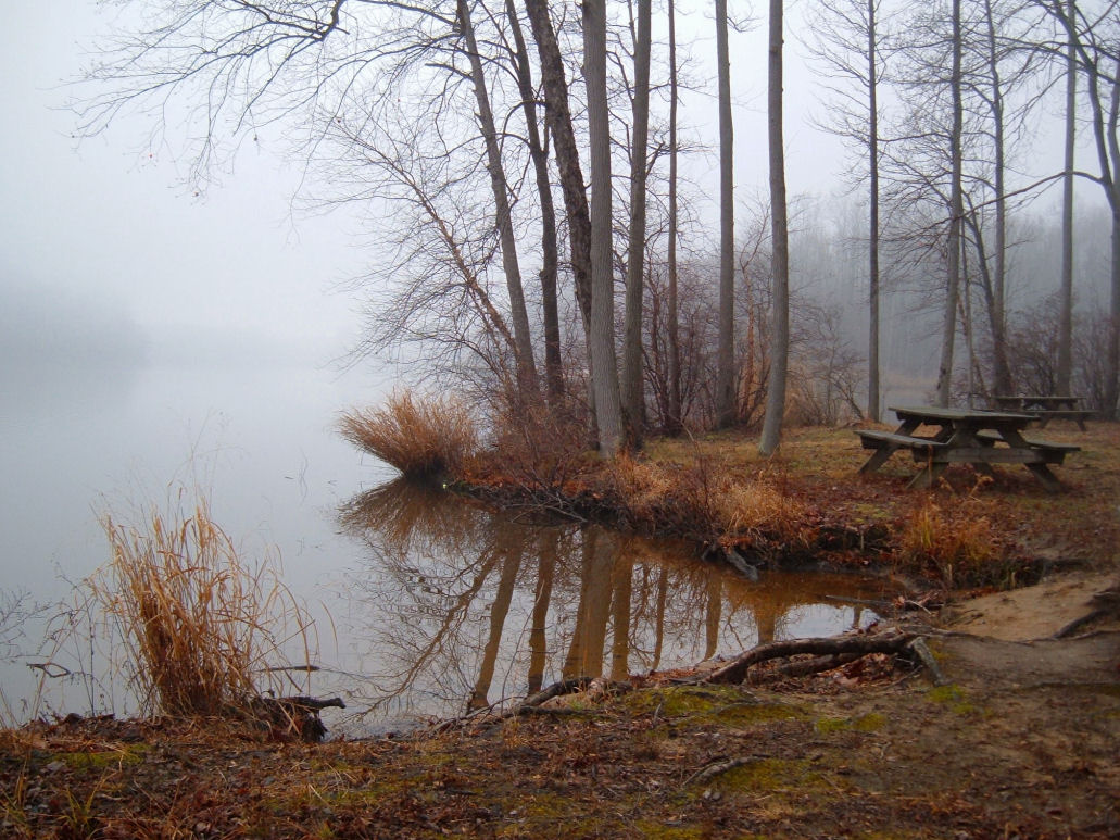
Lums Pond
Explore New Jersey waters
Top paddling waters
Popular Cities
Loading popular cities...
Explore near Pennsauken Creek
Access points
- Pennsauken Creek Bridge
- No.br. Pennsauken Creek Bridge
- Del. R R.ave Con Nj Tr. Bridge
- Pochack Creek Bridge
- Fork Lnd Rd&s Br Penn Ck Bridge
- Frankford Creek Bridge
- Delaware River Bridge
- Union Avenue Bridge
- I-95; Ramps Ee C X Y Bridge
- Pennsauken Creek Bridge
- Pompeston Creek Bridge
- Pompeston Creek Bridge
- All 44 spots
Nearby waters
More in New Jersey

Smarter Paddling Starts in the App.
Paddleways gives you everything you need to plan smarter, paddle better, and own every trip from first launch to takeout.