Lake Jocassee
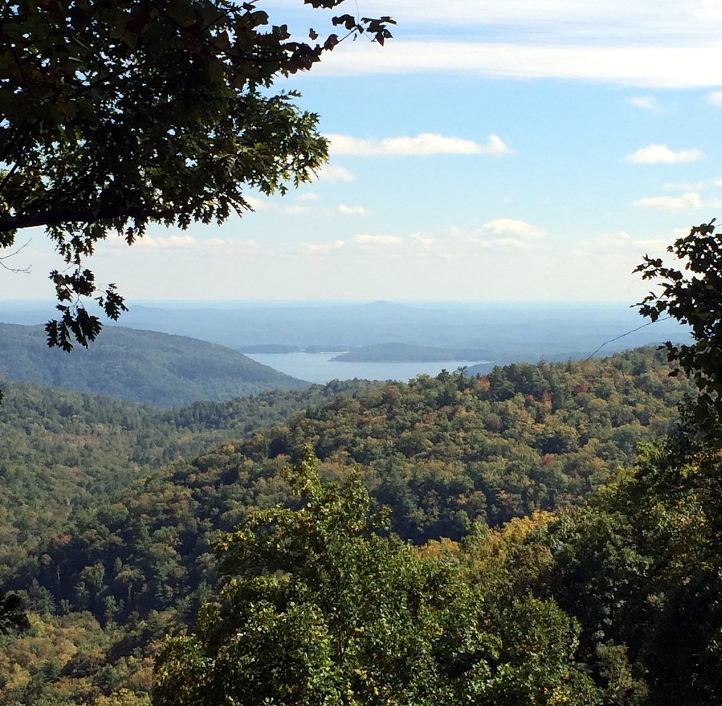
Lake Jocassee
- Boat Ramps
- 5
- Access Points
- 6
- Campsites
- 17
Lake Jocassee is a 7,500-acre reservoir located in northwestern South Carolina, bordering North Carolina. The lake features crystal clear waters with depths up to 385 feet and 75 miles of largely undeveloped shoreline. Access is primarily through Devils Fork State Park, which offers boat ramps and camping facilities.
Paddlers can explore numerous coves, inlets, and waterfalls only accessible by boat. Notable sights include Wright Creek Falls, Mill Creek Falls, and Laurel Fork Falls. The lake's clear waters allow visibility to depths of 20 feet or more in some areas. Surrounding terrain includes steep, forested hillsides and rock cliffs up to 80 feet high.
Spring and fall offer ideal paddling conditions with comfortable temperatures and colorful foliage. Summer can bring more powerboat traffic, though it remains relatively light compared to other lakes. Water temperatures vary significantly by season and depth.
Primitive boat-in campsites are available, but reservations are required. Regulations prohibit camping along most of the shoreline, with some exceptions. A permit is needed to camp along sections of the Foothills Trail near the northern end of the lake.
Wildlife sightings may include bald eagles, peregrine falcons, and various waterfowl. The surrounding Jocassee Gorges area provides habitat for black bears and deer. The lake supports populations of trout and other game fish.
Paddlers should be prepared for potentially strong winds, especially in open areas of the lake. Proper safety equipment is essential given the remote nature of much of the shoreline and the lake's considerable depth. Sea kayaks or touring kayaks are recommended due to the large size of the lake and potential for wind-generated waves.
Water access, boat ramps & amenities
Learn how to get on Lake Jocassee. Uncover great paddling access points, boat ramps, and all the facilities you need for an unforgettable day on the water. Some locations shown may border or include private property. Always check property boundaries and applicable regulations before visiting. PaddleWays's Public & Private Land layer can help you plan your access with confidence.
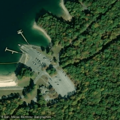
Devils Fork State Park Bank Access
Eclectic Sun Paddlesports
Paddle smarter with real-time insights
Whether you're en route and conditions shift or you're looking for the best spot based on current flows, we enable you to make informed decisions on the fly.








Find Places to Paddle

Over 400,000 Places to Paddle
Every user gets free access to launch points, boat ramps, and public property parcels.


Water and weather conditions (10 day forecast)
See the best times to paddle Lake Jocassee and check the forecast before you go.
No forecast data available.
Paddling near Lake Jocassee

Saluda River

French Broad River

Savannah River
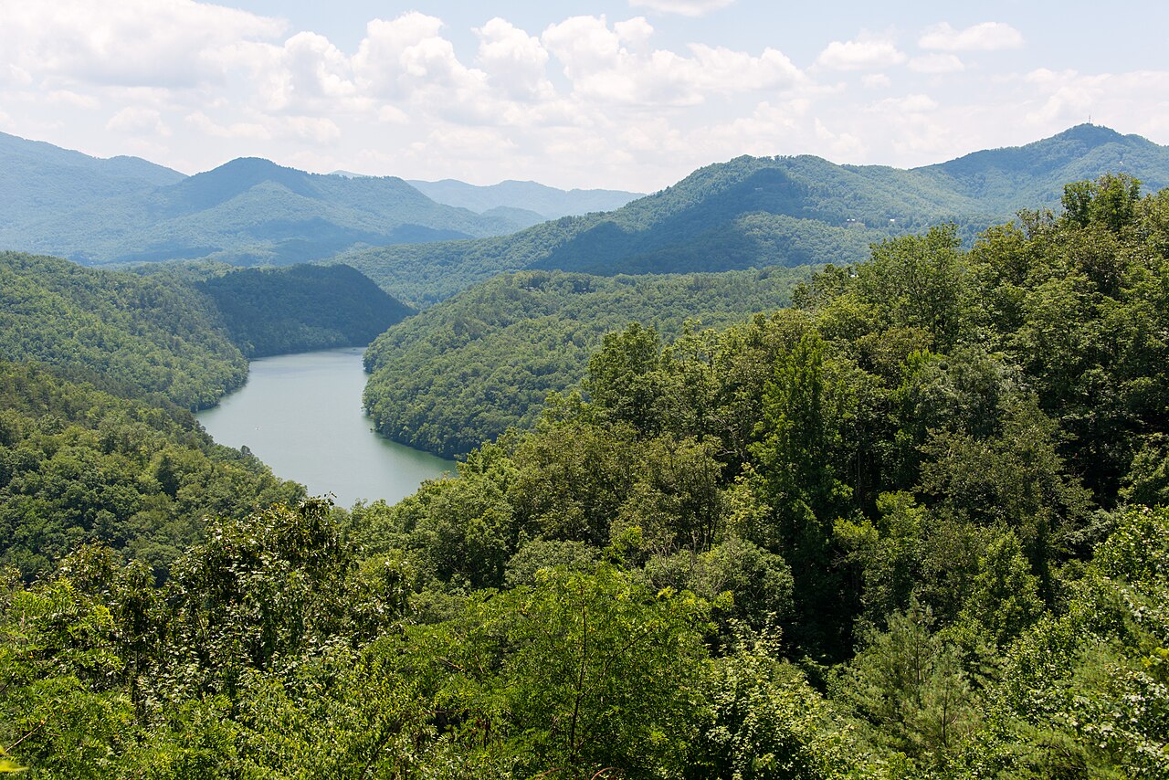
Tuckasegee River
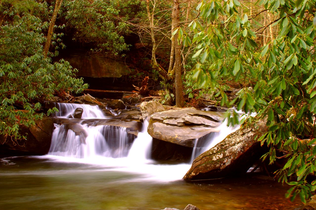
Davidson River
Chauga River

Broad River

Little Tennessee River
Pigeon River
Lake Keowee
Explore South Carolina waters
Top paddling waters
Popular Cities
Loading popular cities...
Explore near Lake Jocassee
Access points
Nearby waters
More in South Carolina

Smarter Paddling Starts in the App.
Paddleways gives you everything you need to plan smarter, paddle better, and own every trip from first launch to takeout.