Lake Wylie
Lake Wylie
- Boat Ramps
- 9
- Access Points
- 12
- Campsites
- 1
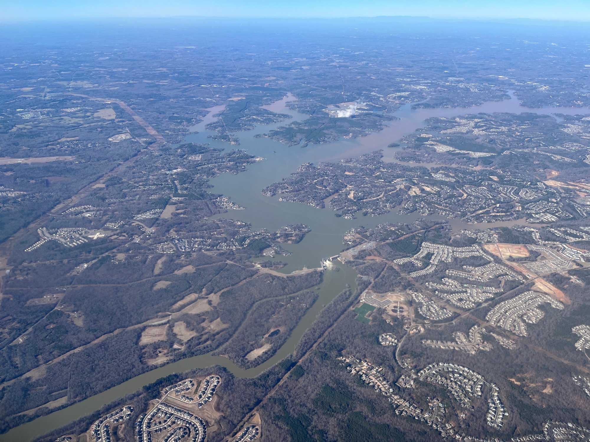
Lake Wylie straddles the border of North and South Carolina, offering 13,443 acres of water and 325 miles of shoreline for paddling. The lake features numerous access points, including McDowell Nature Preserve in North Carolina and several boat launches in South Carolina such as Ebenezer Access and Allison Creek Access.
Paddlers should be aware that Lake Wylie is popular with powerboaters, especially on weekends, which can create wakes and noise. For a more serene experience, explore the lake's smaller inlets, coves, and creeks away from the main body. The upper section above I-85 is a good area for flatwater paddling.
Wildlife viewing opportunities include great blue herons, osprey, and bald eagles. The lake is surrounded by forests, creating scenic views. Paddlers can visit uninhabited Goat Island or explore the remnants of old structures along some shorelines.
Several marinas offer kayak and paddleboard rentals, including Goat Boater in Tega Cay. Guided paddling programs are available at McDowell Nature Preserve. The lake features multiple boat ramps, fishing areas, and some beaches for swimming.
Lake Wylie was created in 1904 and expanded in 1924. It serves as a cooling water source for power plants and provides water supply for nearby communities. The lake's full pond elevation is 569.4 feet.
Paddlers should check water release schedules from the dam, as levels can change quickly. Duke Energy's website or phone line provide this information. Water quality is generally good, supporting diverse aquatic life and recreational use.
Water access, boat ramps & amenities
Learn how to get on Lake Wylie. Uncover great paddling access points, boat ramps, and all the facilities you need for an unforgettable day on the water. Some locations shown may border or include private property. Always check property boundaries and applicable regulations before visiting. PaddleWays's Public & Private Land layer can help you plan your access with confidence.
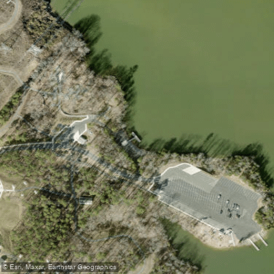
Allison Creek Landing Pier Access
Rock Hill Lake Park
Windjammer Drive Access
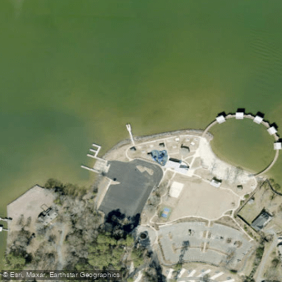
Ebenezer Park Access
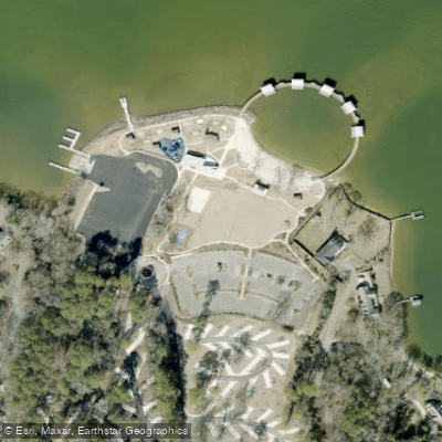
Ebenezer Park Access
Paddle smarter with real-time insights
Whether you're en route and conditions shift or you're looking for the best spot based on current flows, we enable you to make informed decisions on the fly.








Find Places to Paddle

Over 400,000 Places to Paddle
Every user gets free access to launch points, boat ramps, and public property parcels.


Water and weather conditions (10 day forecast)
See the best times to paddle Lake Wylie and check the forecast before you go.
BEAVERDAM CREEK AB WINDY GAP ROAD NR SHOPTON, NC
Paddling near Lake Wylie
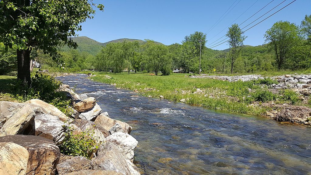
Catawba River
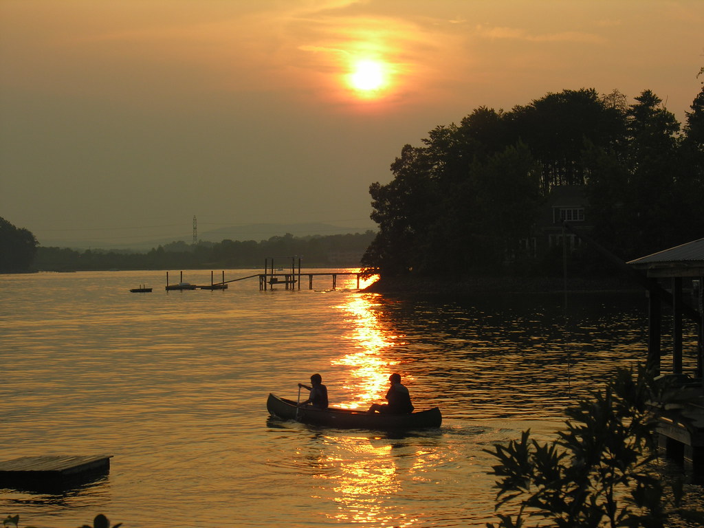
Lake Norman

Broad River
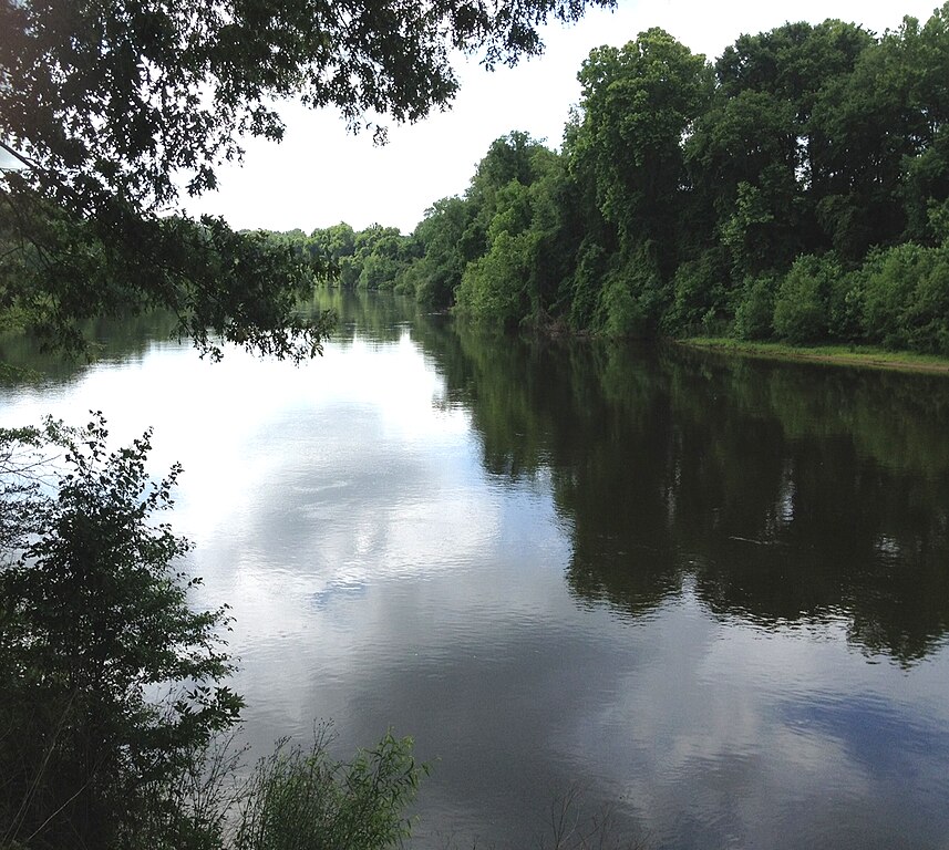
Wateree River
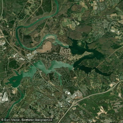
Mountain Island Lake
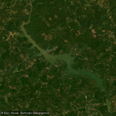
Wateree Lake
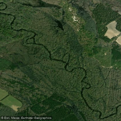
Lynches River
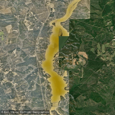
Fishing Creek Reservoir
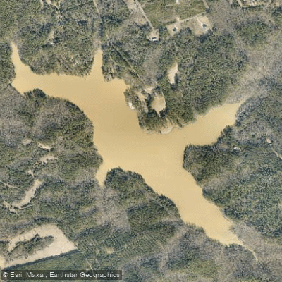
Chester State Park Lake
Explore South Carolina waters
Top paddling waters
Popular Cities
Loading popular cities...
Explore near Lake Wylie
Access points
- Copperhead Island Boat Ramp
- Nivens Creek Boat Ramp
- Pitcairn Cove Boat Ramp
- Allison Creek Boat Ramp
- Tega Cay Marina Boat Ramp
- Ebenezer Boat Ramp
- Buster Boyd Boat Ramp
- The Vineyards on Lake Wylie Slipway Boat Ramp
- South Point Boat Ramp
- Allison Creek Landing Pier Access
- Ebenezer Park Access
- Ebenezer Park Access
- All 88 spots
Nearby waters
More in South Carolina

Smarter Paddling Starts in the App.
Paddleways gives you everything you need to plan smarter, paddle better, and own every trip from first launch to takeout.