Wateree Lake
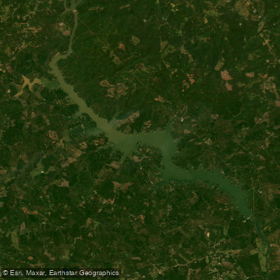
Wateree Lake
- Boat Ramps
- 11
- Access Points
- 16
- Campsites
- 1
Lake Wateree is a 13,025-acre reservoir located 30 miles northeast of Columbia, South Carolina. With 216 miles of shoreline, it offers diverse paddling opportunities. The lake features 14 access points, including 8 public boat ramps maintained by Duke Energy and the SC Department of Natural Resources. Lake Wateree State Recreation Area provides additional boating and bank fishing access.
Paddlers should be aware of potential hazards from dam releases, which can cause water levels to fluctuate significantly. The lake's upper section near the dam contains rock gardens and small Class I-II rapids, while the lower portions are calmer. Sandbars are common throughout, offering potential camping spots for multi-day trips.
Wildlife viewing is a highlight, with opportunities to spot bald eagles, ospreys, herons, and even alligators. The lake supports diverse fish populations, including bass, catfish, and crappie. Seventeen fish attractors are maintained to enhance angling.
The Desportes Island Trail, a 2.3-mile loop, offers hikers scenic views of the lake. For paddlers seeking longer adventures, the Wateree River Blue Trail continues 75 miles downstream from the dam to Congaree National Park.
Lake Wateree's average depth is 6.9 feet, with a maximum depth of approximately 225 feet near the dam. The lake was created in 1920 with the construction of Wateree Dam, which stretches 3,380 feet. Its name commemorates the now-extinct Wateree Native Americans who once inhabited the area.
Facilities for paddlers include campgrounds at Lake Wateree State Park, offering both RV and tent sites with hookups. Kayak rentals are available at the state park for $25 (half-day) or $40 (full-day), including life jackets and paddles.
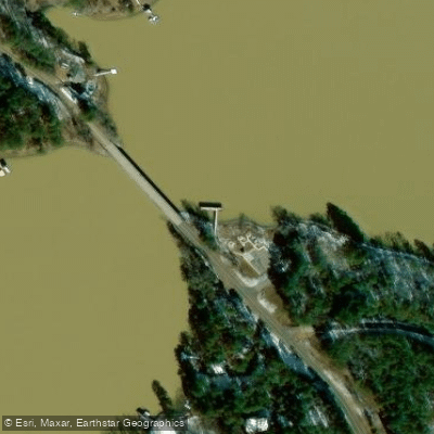
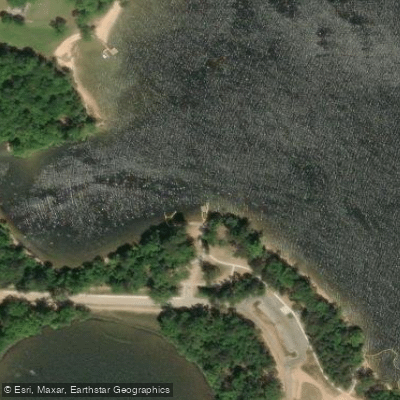
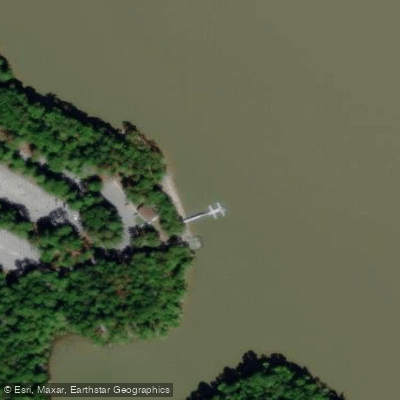
Water access, boat ramps & amenities
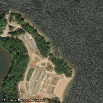
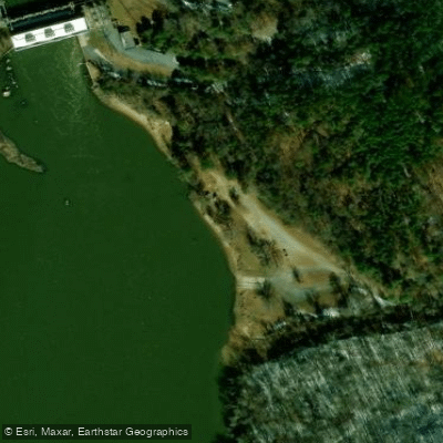
Learn how to get on Wateree Lake. Uncover great paddling access points, boat ramps, and all the facilities you need for an unforgettable day on the water. Some locations shown may border or include private property. Always check property boundaries and applicable regulations before visiting. PaddleWays's Public & Private Land layer can help you plan your access with confidence.
Paddle smarter with real-time insights
Whether you're en route and conditions shift or you're looking for the best spot based on current flows, we enable you to make informed decisions on the fly.








Find Places to Paddle

Over 400,000 Places to Paddle
Every user gets free access to launch points, boat ramps, and public property parcels.


Water and weather conditions (10 day forecast)
See the best times to paddle Wateree Lake and check the forecast before you go.
CEDAR CREEK RES TAILRACE BELOW GREAT FALLS, SC
All Flow Stations
Paddling near Wateree Lake
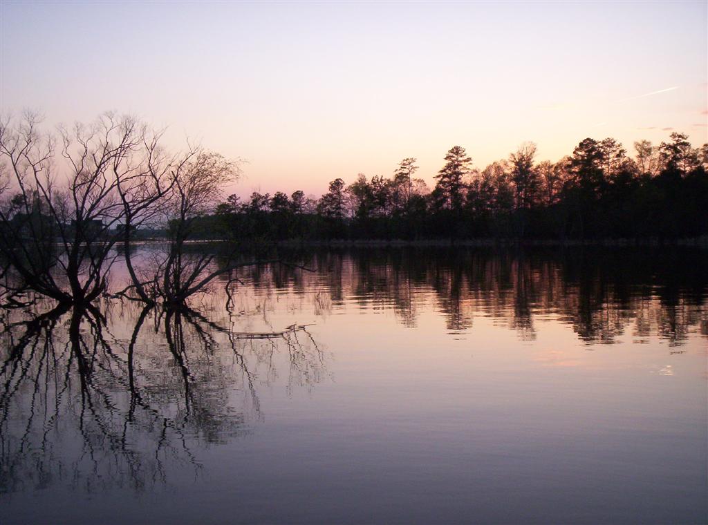
Lake Murray

Broad River

Saluda River
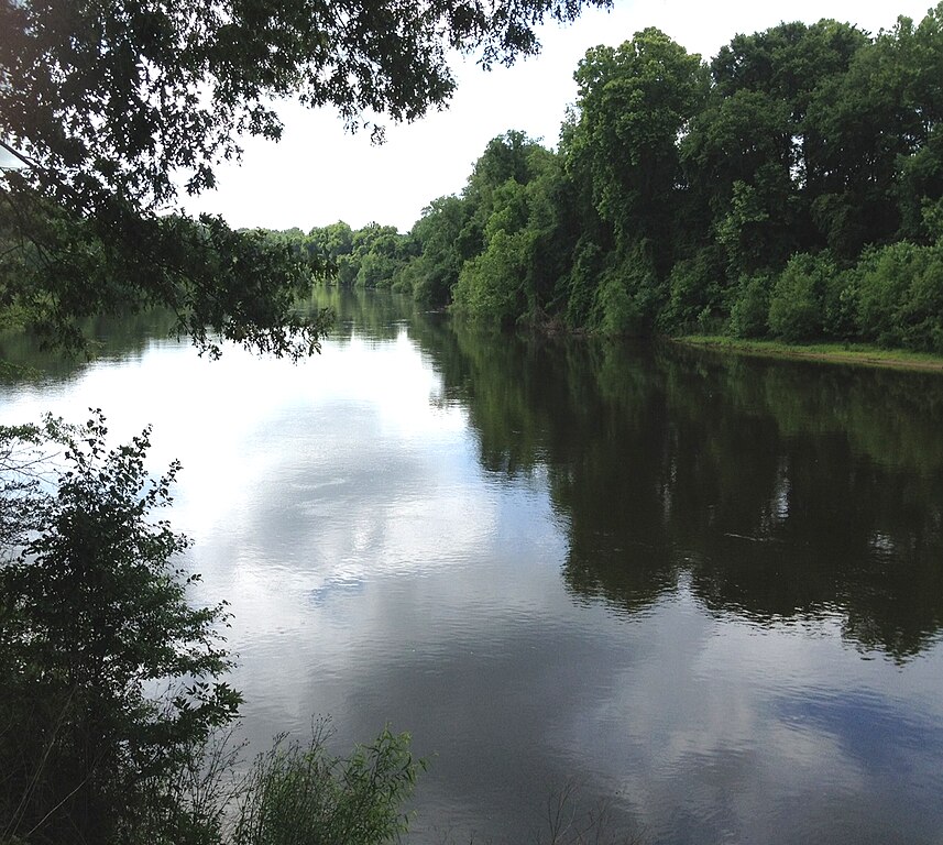
Wateree River
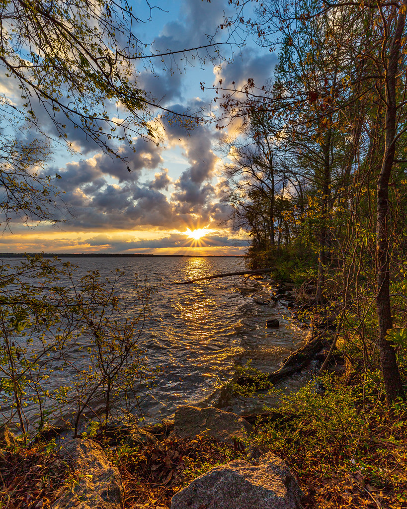
Lake Marion
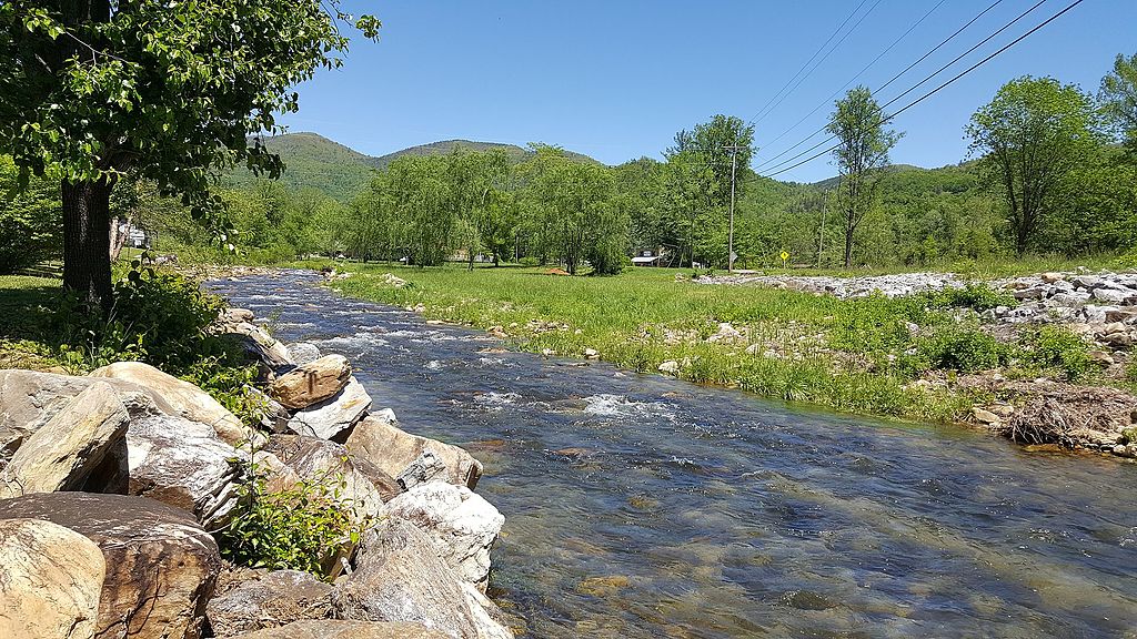
Catawba River
Congaree River
Cedar Creek

Monticello Reservoir
Explore South Carolina waters
Top paddling waters
Popular Cities
Loading popular cities...
Explore near Wateree Lake
Access points
Nearby waters
More in South Carolina

Smarter Paddling Starts in the App.
Paddleways gives you everything you need to plan smarter, paddle better, and own every trip from first launch to takeout.