Belle Fourche River
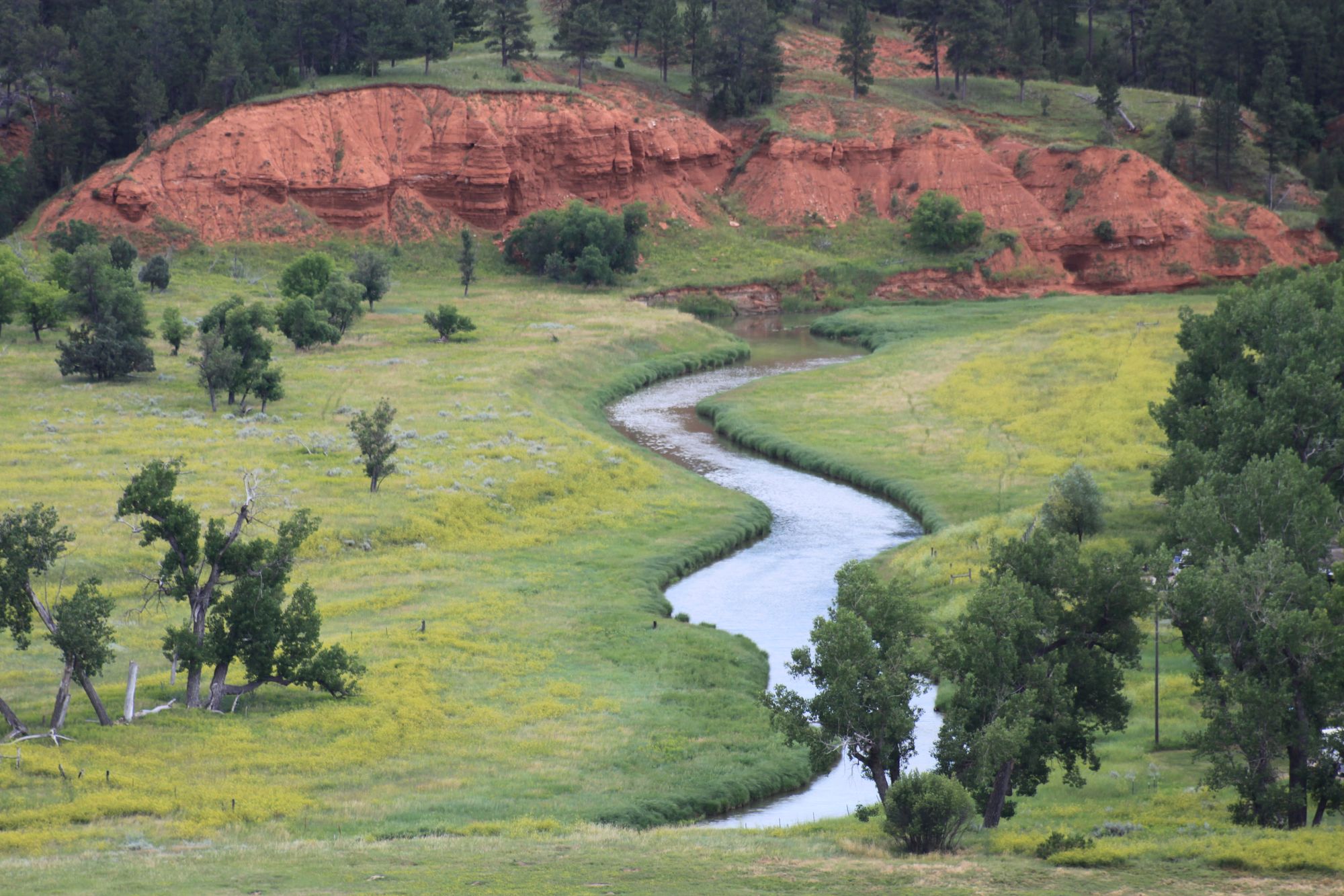
Belle Fourche River
- Boat Ramps
- 0
- Access Points
- 0
- Campsites
- 57
The Belle Fourche River is a significant waterway in the northern Great Plains, flowing approximately 290 miles through northeastern Wyoming and western South Dakota. Originating near the Montana state line in Wyoming, it flows southeast, skirting the northern edge of the Black Hills before joining the Cheyenne River in South Dakota. This river offers diverse paddling opportunities, from placid flatwater sections to more challenging stretches. The upper reaches in Wyoming provide scenic views of iconic landmarks like Devils Tower National Monument. As it enters South Dakota, the river widens and slows, offering easier paddling suitable for beginners and families.
The Belle Fourche is primarily a Class I-II river, with occasional Class III rapids during high water. Most sections are appropriate for canoes and kayaks, though some whitewater skills may be needed in certain areas. The river is best paddled from late spring through early fall, with peak flows typically occurring in May and June from snowmelt.
Wildlife enthusiasts can spot a variety of species along the river, including deer, beavers, and numerous bird species such as great blue herons and bald eagles. The riparian ecosystem supports cottonwoods and willows, creating a green corridor through the prairie landscape.
Key landmarks include Keyhole Reservoir in Wyoming and the city of Belle Fourche in South Dakota. The river's confluence with the Cheyenne River is a particularly scenic area, showcasing the meeting of two major waterways. Popular access points include the Belle Fourche River Campground at Devils Tower, the city of Belle Fourche, and Elm Springs. These locations provide convenient put-in and take-out spots for day trips or longer expeditions.
Historically, the Belle Fourche River played a crucial role in the region's development, supporting Native American communities and later becoming important for agriculture and ranching. Today, it remains vital for irrigation and recreation.
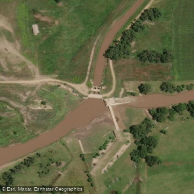
Paddlers should be aware of potential hazards such as submerged obstacles and changing water levels. A portage is required at a diversion dam downstream from Belle Fourche. Always check current conditions and obtain any necessary permits before embarking on a trip.
For those seeking a multi-day adventure, it's possible to paddle the entire length from Wyoming to the Cheyenne River confluence, though this requires careful planning and logistics. Shorter overnight trips can be arranged between various access points along the river's course.
Water access, boat ramps & amenities
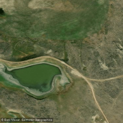
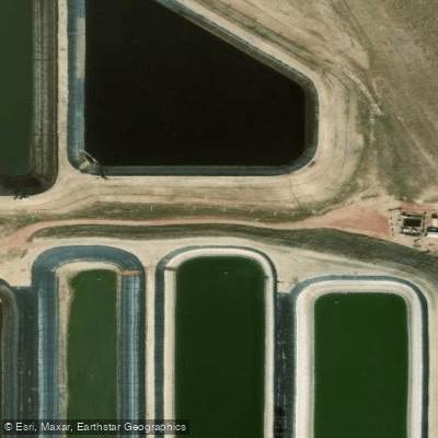
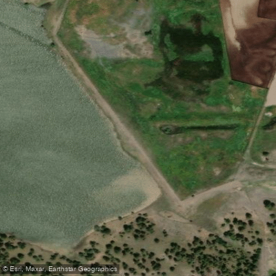
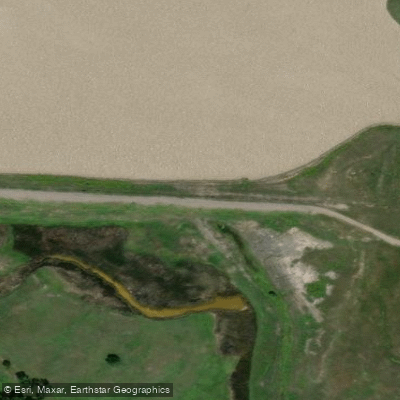
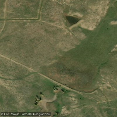
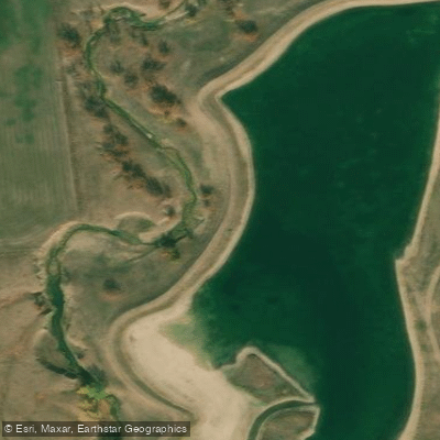
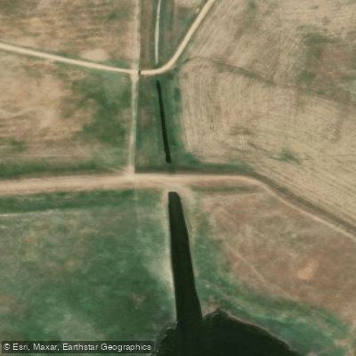
Learn how to get on Belle Fourche River. Uncover great paddling access points, boat ramps, and all the facilities you need for an unforgettable day on the water. Some locations shown may border or include private property. Always check property boundaries and applicable regulations before visiting. PaddleWays's Public & Private Land layer can help you plan your access with confidence.
Paddle smarter with real-time insights
Whether you're en route and conditions shift or you're looking for the best spot based on current flows, we enable you to make informed decisions on the fly.








Find Places to Paddle

Over 400,000 Places to Paddle
Every user gets free access to launch points, boat ramps, and public property parcels.


Water and weather conditions (10 day forecast)
See the best times to paddle Belle Fourche River and check the forecast before you go.
BELLE FOURCHE RIVER BELOW MOORCROFT, WY
All Flow Stations
Paddling near Belle Fourche River
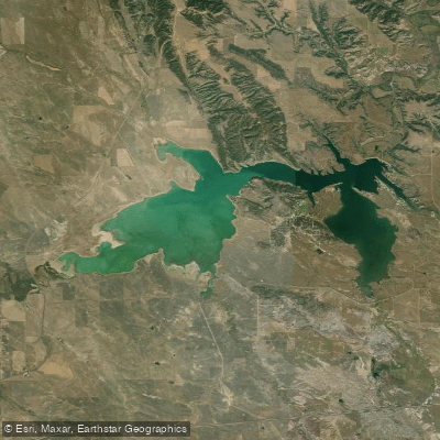
Explore South Dakota waters
Top paddling waters
Popular Cities
Loading popular cities...
Explore near Belle Fourche River
Access points
Nearby waters
More in South Dakota

Smarter Paddling Starts in the App.
Paddleways gives you everything you need to plan smarter, paddle better, and own every trip from first launch to takeout.