Lake Alvin
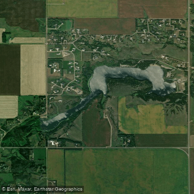
Lake Alvin
- Boat Ramps
- 4
- Access Points
- 4
- Campsites
- 1
Lake Alvin is a 105-acre lake located near Harrisburg, South Dakota, with a maximum depth of 21 feet and an average depth of 9 feet. The lake was created in 1954 by damming Nine Mile Creek and was named in honor of Alvin Dempewolf, the only World War soldier from Harrisburg who died overseas.
This calm, tree-lined lake is designated as a no-wake zone, with a 5 mph speed limit for all watercraft to protect the shoreline from erosion. The 59-acre recreation area offers multiple access points for paddlers, including a swimming beach and boat ramps. A fishing pier and picnic tables are available for breaks during paddling excursions.
The lake provides opportunities to observe various wildlife, including waterfowl and perching birds. Anglers frequently encounter walleye, northern pike, crappie, sunfish, perch, catfish, and bullheads, indicating a healthy aquatic ecosystem that paddlers can appreciate.
The surrounding landscape features a mix of pines and prairie, creating scenic views for paddlers. Multiple trails lead to the shoreline, facilitating easy kayak and canoe carry-in access. The lake's relatively small size and protected status make it particularly suitable for beginners and those seeking a peaceful paddling experience.
Lake Alvin Recreation Area requires an entrance fee, with both daily and annual passes available. The park is open year-round, though facilities such as showers and flush toilets may be closed between October 1 and April 30. Vault toilets typically remain accessible throughout the year.
Note: As of 2024-2025, the beach and boat ramps are undergoing renovations, with closures expected until spring 2025. Paddlers should check current access conditions before visiting during this period.
Water access, boat ramps & amenities
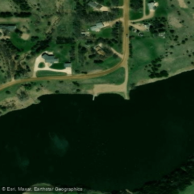
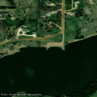
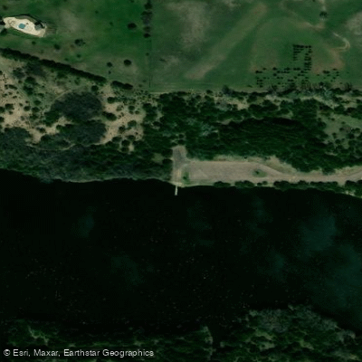
Learn how to get on Lake Alvin. Uncover great paddling access points, boat ramps, and all the facilities you need for an unforgettable day on the water. Some locations shown may border or include private property. Always check property boundaries and applicable regulations before visiting. PaddleWays's Public & Private Land layer can help you plan your access with confidence.
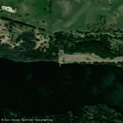
Paddle smarter with real-time insights
Whether you're en route and conditions shift or you're looking for the best spot based on current flows, we enable you to make informed decisions on the fly.








Find Places to Paddle

Over 400,000 Places to Paddle
Every user gets free access to launch points, boat ramps, and public property parcels.


Water and weather conditions (10 day forecast)
See the best times to paddle Lake Alvin and check the forecast before you go.
No forecast data available.
Paddling near Lake Alvin
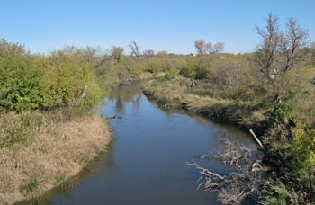
James River
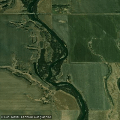
Big Sioux River
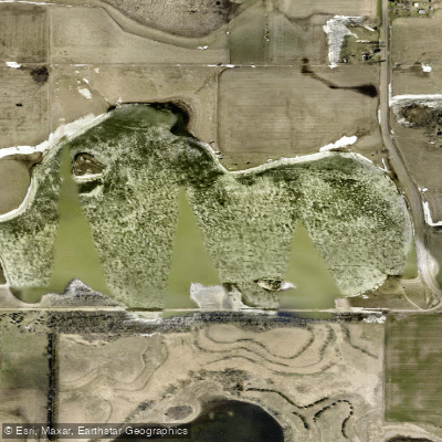
Scotts Slough
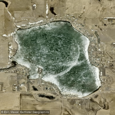
Wall Lake
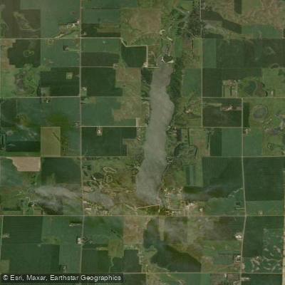
East Vermillion Lake
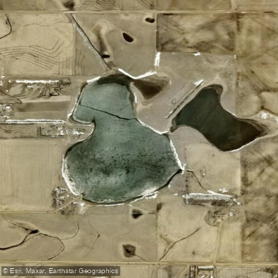
Lost Lake
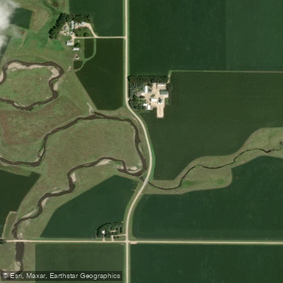
Split Rock Creek
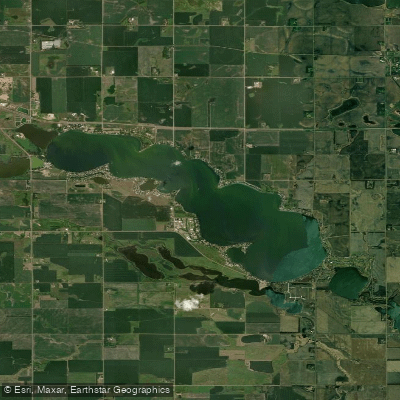
Lake Madison
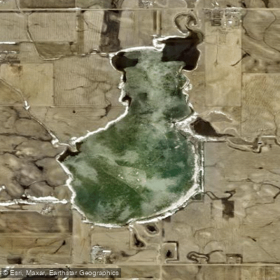
Clear Lake
Explore South Dakota waters
Top paddling waters
Popular Cities
Loading popular cities...
Explore near Lake Alvin
Access points
Nearby waters
More in South Dakota

Smarter Paddling Starts in the App.
Paddleways gives you everything you need to plan smarter, paddle better, and own every trip from first launch to takeout.