Scotts Slough
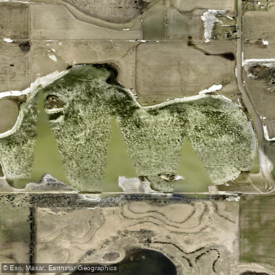
Scotts Slough
- Boat Ramps
- 3
- Access Points
- 3
- Campsites
- 0
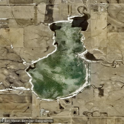
Scotts Slough, reclassified as Scott Lake, offers 107 acres of surface water with an average depth of 4 feet. Located just north of Hartford on 258th Street in Minnehaha County, South Dakota, this modest waterbody provides a straightforward paddling experience suitable for most skill levels.
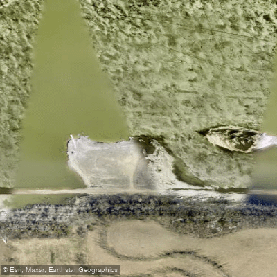
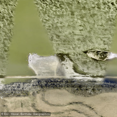
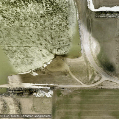
The lake features well-maintained facilities including a parking lot, fishing pier, boat launch ramp, and toilets. The southern access point serves as the primary put-in location for paddlers. While no drinking water or other services are available on-site, the access area's infrastructure makes launching kayaks and canoes relatively convenient.
Wildlife viewing opportunities abound, particularly around the slough area at the lake's southern end. Paddlers can expect to encounter various waterfowl species, adding to the natural appeal of the setting. The lake supports populations of walleye, bluegill, bullhead, and yellow perch, though fishing activity may affect paddling routes during peak seasons.
The lake's configuration includes a significant slough area, creating interesting paddling opportunities along the shoreline. The relatively shallow average depth means paddlers should maintain awareness of underwater obstacles, particularly in areas with emergent vegetation.
Regional paddling groups frequently recommend this lake for flatwater kayaking and canoeing. When planning a visit, paddlers should bring adequate water and supplies given the lack of services at the lake.
This waterway is actively managed for multiple uses, including both fishing and paddling, so paddlers should expect to share the water with anglers and maintain appropriate distances from fishing areas.
Water access, boat ramps & amenities
Learn how to get on Scotts Slough. Uncover great paddling access points, boat ramps, and all the facilities you need for an unforgettable day on the water. Some locations shown may border or include private property. Always check property boundaries and applicable regulations before visiting. PaddleWays's Public & Private Land layer can help you plan your access with confidence.
Paddle smarter with real-time insights
Whether you're en route and conditions shift or you're looking for the best spot based on current flows, we enable you to make informed decisions on the fly.








Find Places to Paddle

Over 400,000 Places to Paddle
Every user gets free access to launch points, boat ramps, and public property parcels.


Water and weather conditions (10 day forecast)
See the best times to paddle Scotts Slough and check the forecast before you go.
No forecast data available.
Paddling near Scotts Slough
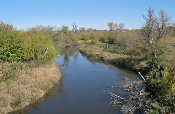
James River
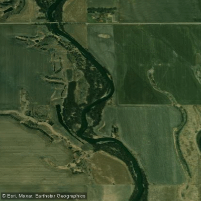
Big Sioux River
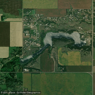
Lake Alvin
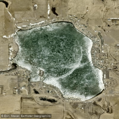
Wall Lake
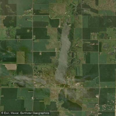
East Vermillion Lake
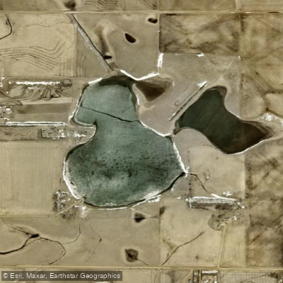
Lost Lake
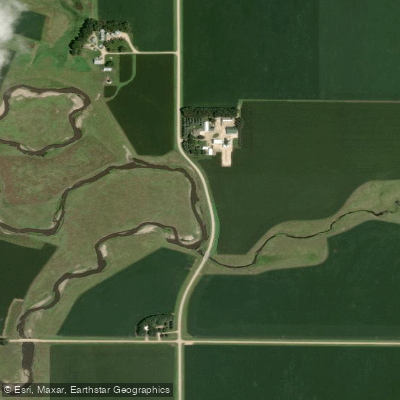
Split Rock Creek
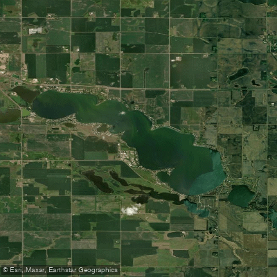
Lake Madison
Clear Lake
Explore South Dakota waters
Top paddling waters
Popular Cities
Loading popular cities...
Explore near Scotts Slough

Smarter Paddling Starts in the App.
Paddleways gives you everything you need to plan smarter, paddle better, and own every trip from first launch to takeout.