Curated by PaddleWays

Beaver Creek Water Trail - Section 1

5.8 mi flatwater route on Beaver Creek in Tennessee


Map of the Beaver Creek Water Trail - Section 1 route, from Powell Landing Boat Ramp to Roy Arthur Stormwater Park Access
  • Route
  • Put-in
  • Take-out
  • Hazards

Level right now

How Beaver Creek Water Trail - Section 1 is running today

Route facts

Beaver Creek Water Trail - Section 1 at a glance

Distance
5.8 mi
Paddle time
~2 hrs
Type
Flatwater · Class II
Boats
Kayak

Several strainers requiring careful maneuvering

About this route

Paddling this route

Beaver Creek Water Trail - Section 1 is the first part of the developing water trail project in Knox County, Tennessee. This 5.8-mile section begins behind Powell High School and ends at Roy Arthur Stormwater Park on Harrell Road.

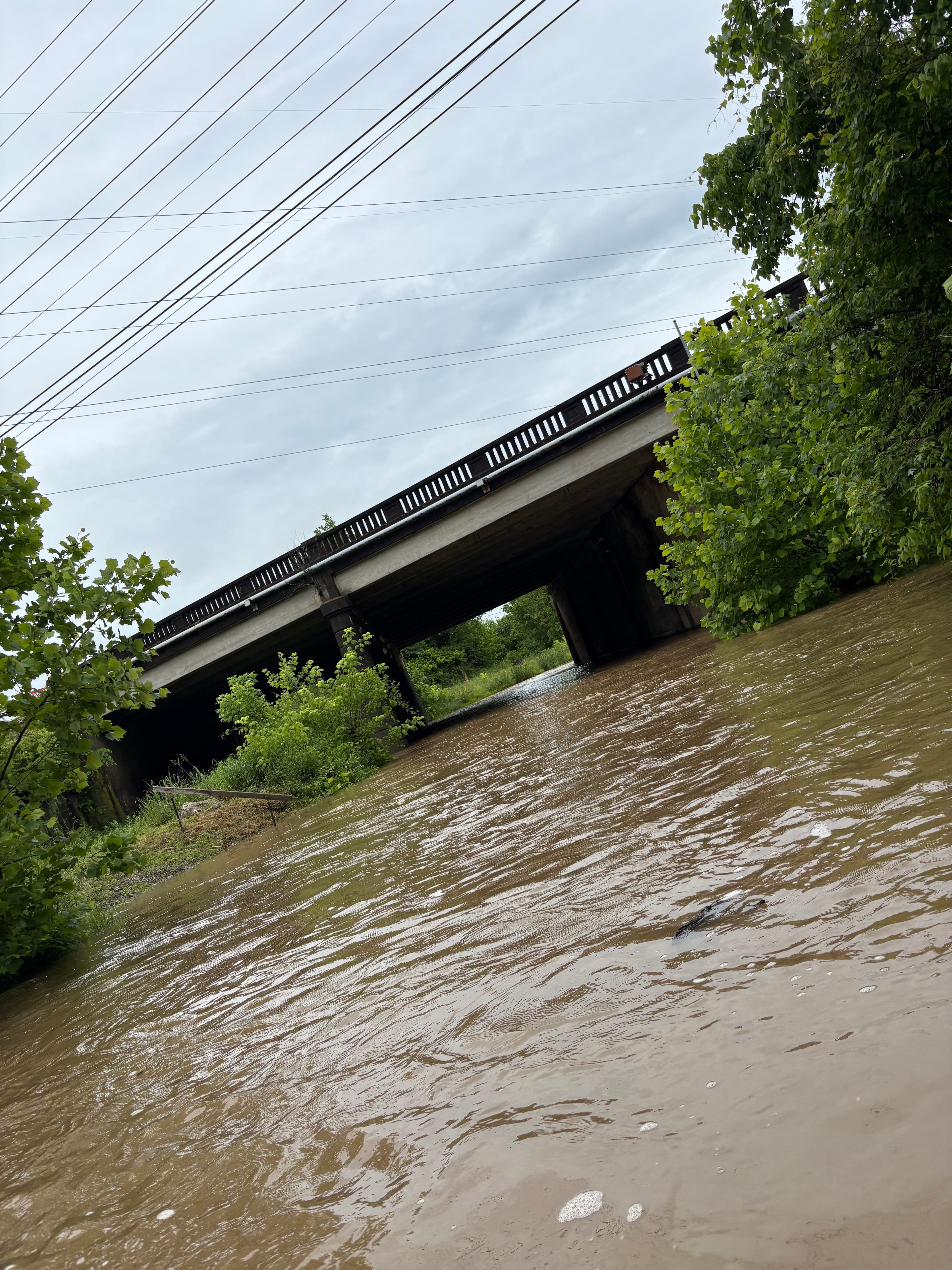
Paddlers will encounter several strainers that require careful maneuvering, adding an element of challenge to the trip. Just before Swafford bridge, there's a class II chute followed by some nice s-bends.

Below this point, there are approximately two more class II rapids. The creek is better suited for kayaks rather than canoes due to these obstacles.

This section is part of the larger Knox County Water Trail project, which aims to improve Beaver Creek for recreation and flood mitigation.
Put-in and take-out

  • Put-in

    Powell Landing Boat Ramp

  • Take-out

    Roy Arthur Stormwater Park Access

Hazards

Hazards on this route

Reported by paddlers. Hazards change with flows and storms, so check them before you launch.

  1. Strainer

    Reported by 1 paddler

    Strainer

    Tree down. Creek completely blocked

From the community

Trip reports on this route

Real trips from PaddleWays paddlers who ran this route: how the flows were, and what to watch for.

Loading trip reports

  • Abby E.

    Kayak •

    83 cfs at Powell Tenn

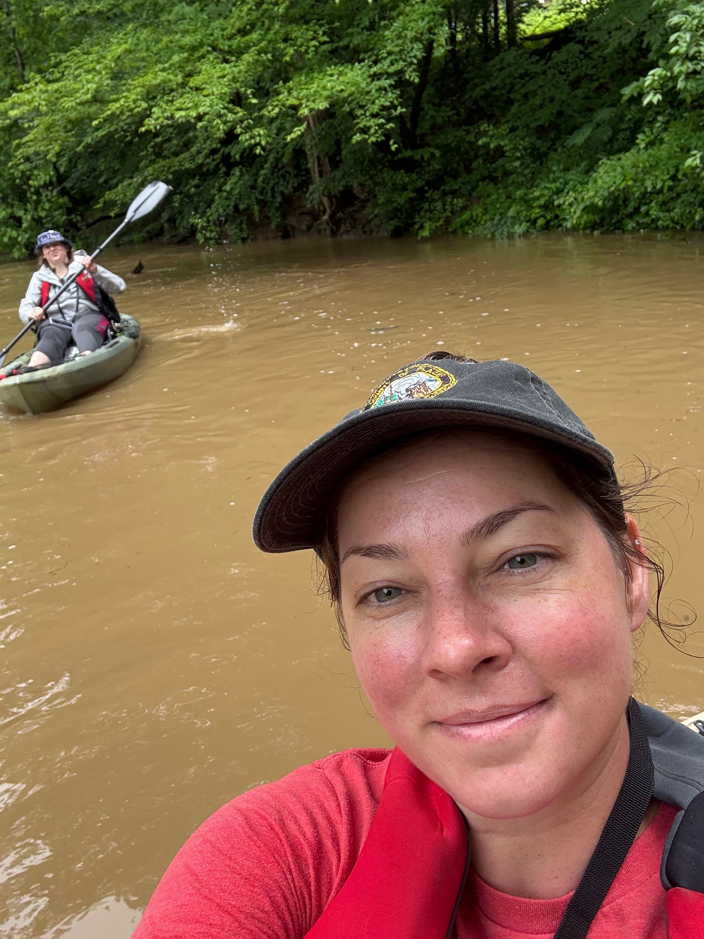
    Fairly wide creek, great for kayaking, pretty calm waters the turns can be more difficult to navigate your vessel, but a fun ride. Paddling the whole time got us from A to B in about 2 hr 45 min. There is a launch behind Powell Highschool and it is about 4 miles to the next one at Roy Arthur Storm water park.

    • Photo 1 from Abby E.'s trip
    • Photo 2 from Abby E.'s trip
    • Photo 3 from Abby E.'s trip+3

Flows & weather (10 day forecast)

The gauges near this route and the forecast where it starts, so you can pick your day.

No forecast data available.

Close by

Routes near this one

Curated routes on other waters within an hour or so, nearest first.

Curated by PaddleWays

RouteFlatwater

Distance
14.7 mi
Paddle time
~5 hrs
Put-in → take-out
Clinton Boat Ramp → Edgemoore Boat Ramp
Curated by PaddleWays

RouteClass I–II

Distance
12.9 mi
Paddle time
~4.5 hrs
Best for
Kayak, canoe
Put-in → take-out
Songbird Access → Highway 61 Bridge Access
Curated by PaddleWays

RouteFlatwater

Distance
2 mi
Paddle time
~0.5 hrs
Put-in → take-out
Norris Dam Marina, Inc. Access → Cove Creek Boat Ramp
Curated by PaddleWays

RouteFlatwater

Distance
7.9 mi
Paddle time
~3 hrs
Put-in → take-out
Anderson County Park Boat Ramp → Norris Dam Marina, Inc. Access
Curated by PaddleWays

RouteFlatwater

Distance
27.7 mi
Paddle time
Multi-day
Best for
Kayak, canoe, SUP
Put-in → take-out
Edgemoore Boat Ramp → Gallaher Boat Ramp

Smarter Paddling Starts in the App.

PaddleWays gives you everything you need to plan smarter, paddle better, and own every trip from first launch to takeout.