Curated by PaddleWays
RouteFlatwater
- Distance
- 2 mi
- Paddle time
- ~0.5 hrs
- Put-in → take-out
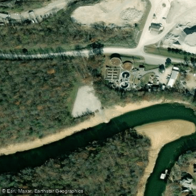
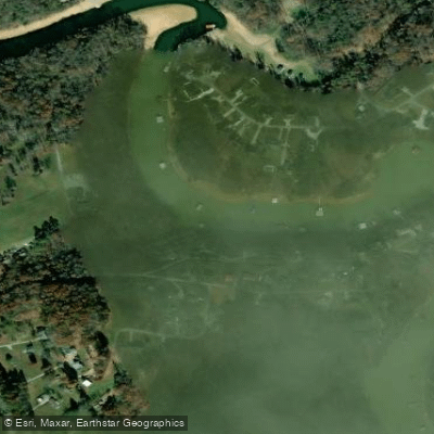
- Norris Dam Marina, Inc. Access → Cove Creek Boat Ramp
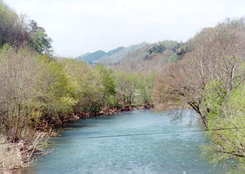
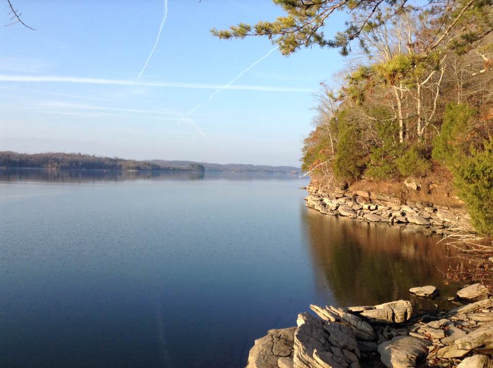
Cove Creek originates in the Cumberland Mountains near the community of Pioneer in Campbell County, Tennessee, flowing southeastward for approximately 25 miles before entering Norris Lake. The creek's journey takes it through Cove Lake State Park, where Caryville Dam creates Cove Lake—a 210-acre impoundment that serves as a focal point for recreation. Below the dam, Cove Creek continues roughly 16 miles to its confluence with the Clinch River at Norris Dam, forming the westernmost waters of Norris Lake.
The creek flows through a beautiful mountain valley on the eastern edge of the Cumberland Plateau, with the southern tip of Fork Mountain rising to the north and Devil's Racetrack—the rocky western tip of Cumberland Mountain—visible from many vantage points. This geographic setting creates a distinctive U-shaped water system around Cove Lake State Park, with the lake spanning a 2-mile stretch of Cove Creek upstream from Caryville Dam and a 1-mile section of the Dog Creek tributary.
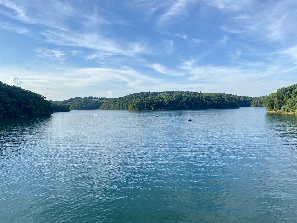
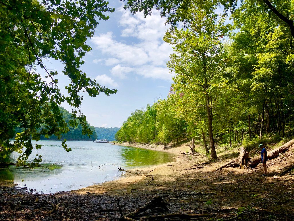
Paddling opportunities on Cove Creek are primarily flatwater experiences suitable for beginners and families. The creek's lower reaches, where it merges with Norris Lake, provide calm waters ideal for kayaking and canoeing. Two marinas serve paddlers along this section: Twin Cove Resort and Marina at day marker 4, and Mountain Lake Marina and Campground at day marker 3. These facilities offer boat rentals and access to the protected waters of the creek.
Cove Lake State Park encompasses 606 acres and features a paved walking and biking trail providing easy access to the water. The park's diverse wetlands and woodlands support abundant wildlife viewing opportunities, including waterfowl, great blue herons, and white-tailed deer. The surrounding forests consist of mature hardwoods and evergreens typical of the Cumberland Mountain ecosystem.
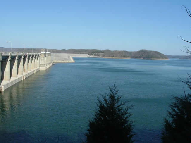
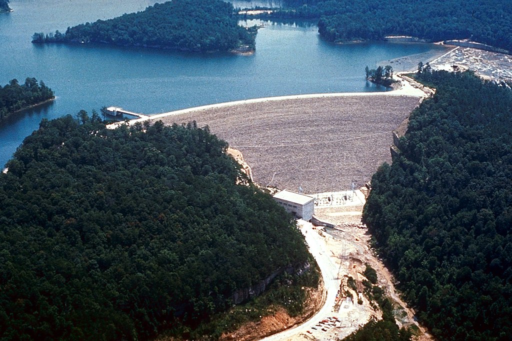
The area holds significant historical importance related to the Norris Dam Project. The Tennessee Valley Authority constructed Caryville Dam in 1936 to protect the town of Caryville from the Norris Reservoir, which would extend several miles up Cove Creek. Despite this protection, several town structures were condemned or relocated, and two highways required rerouting. Cove Lake State Park was established in 1937 as one of three demonstration recreational areas for the Norris Project, with the Civilian Conservation Corps building much of the original infrastructure.
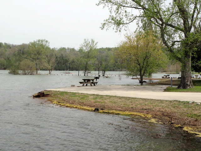
Access to Cove Creek is readily available through Cove Lake State Park, which offers a boat launch, 106 campsites, and six large picnic pavilions. The park is located near the town of Caryville, easily reached from Interstate 75. The Cove Creek Wildlife Management Area borders the creek where it meets the Clinch River at Norris Dam, providing additional public access and habitat protection.
Curated routes
Hand-picked by the PaddleWays team, with put-ins, take-outs, paddle times and the hazards along the way.
RouteFlatwater
Hazards
No paddler has reported a hazard here yet, so these are the dams, falls and big rapids on our map. Hazards change with flows and storms, so check them before you launch.
From the community
Real trips from PaddleWays paddlers: which route they ran, how the flows were, and what to watch for.
Loading trip reports
Mitchell N.
SUP •
Norris Dam Marina, Inc. Access
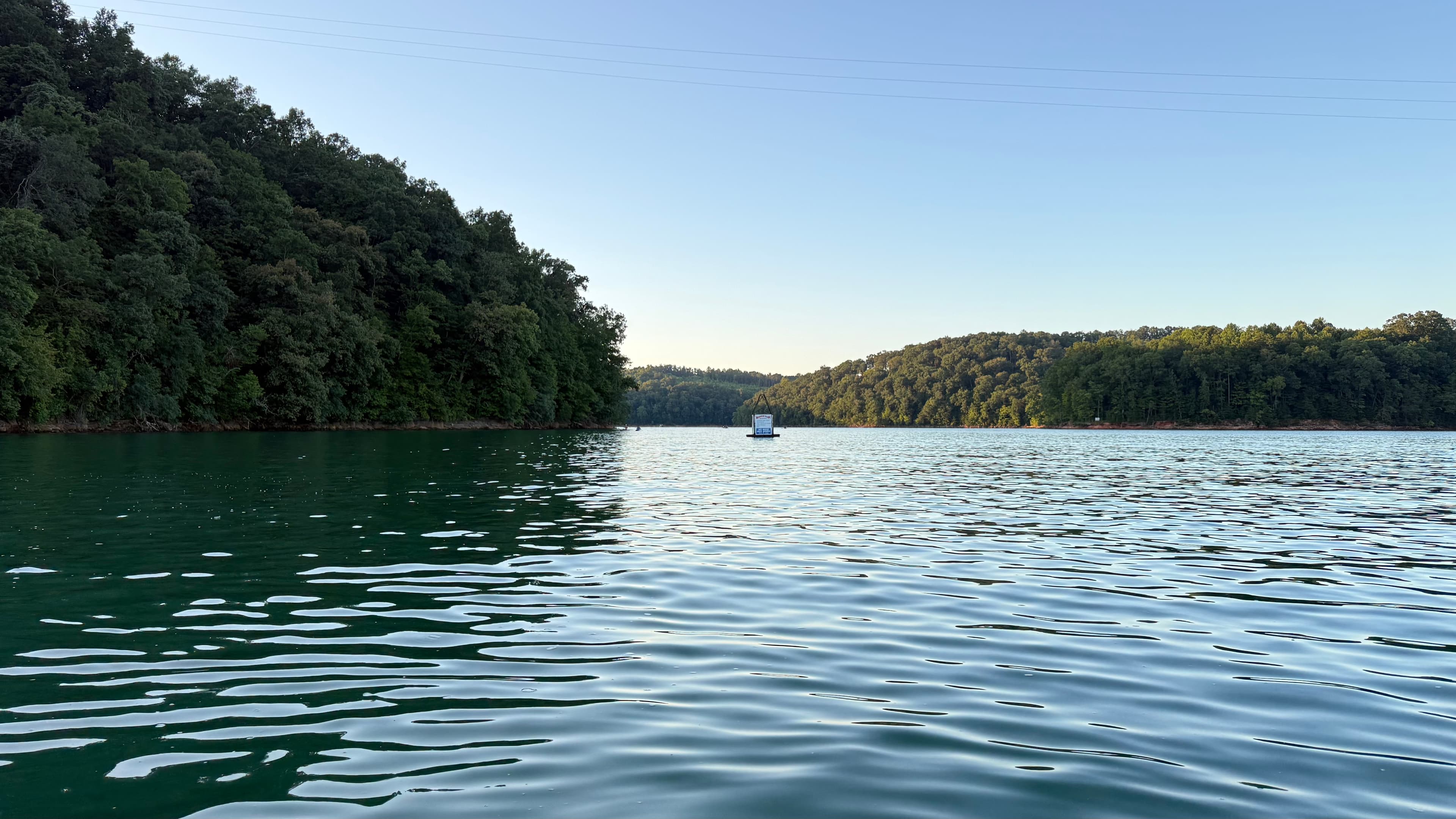
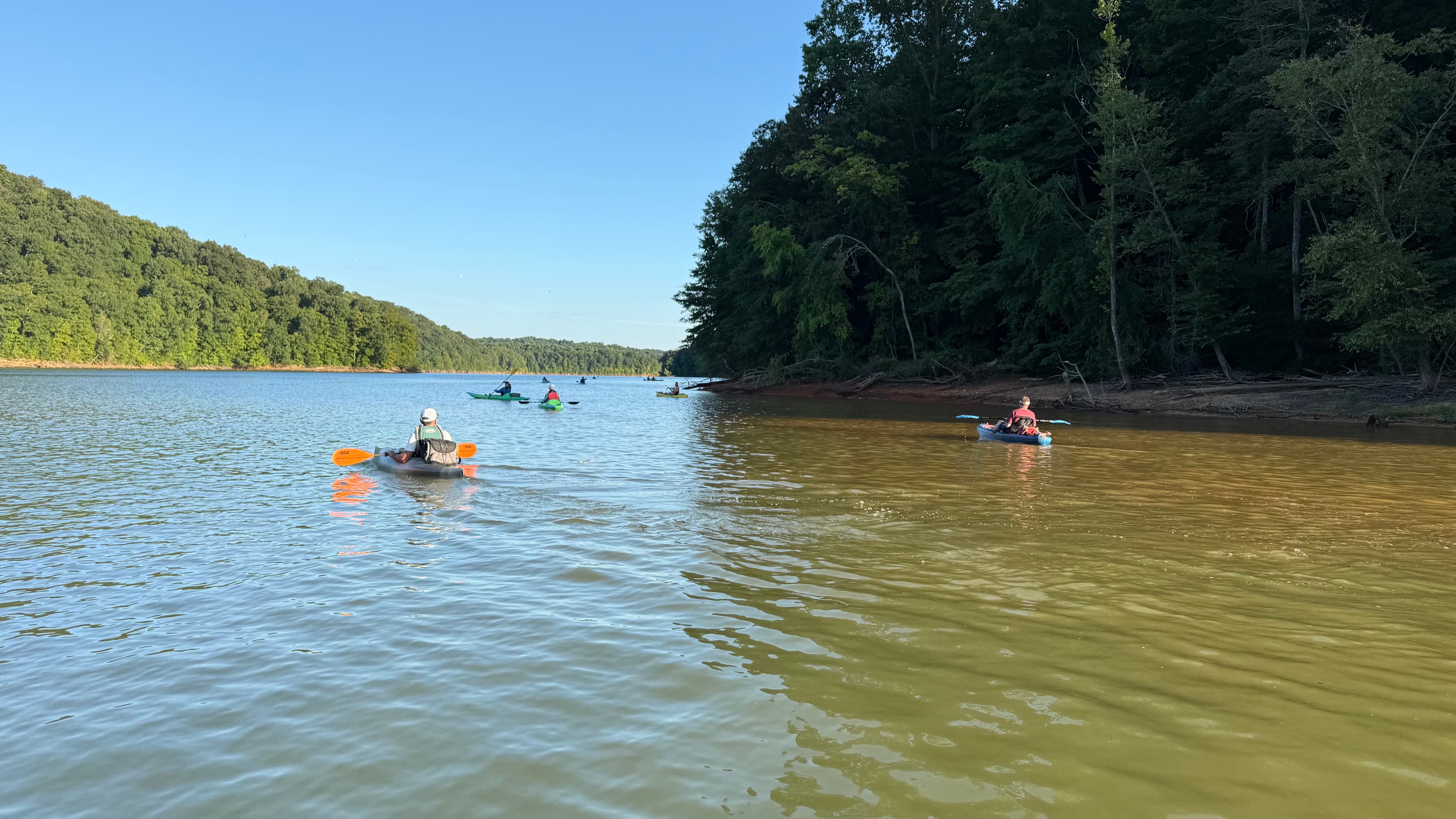
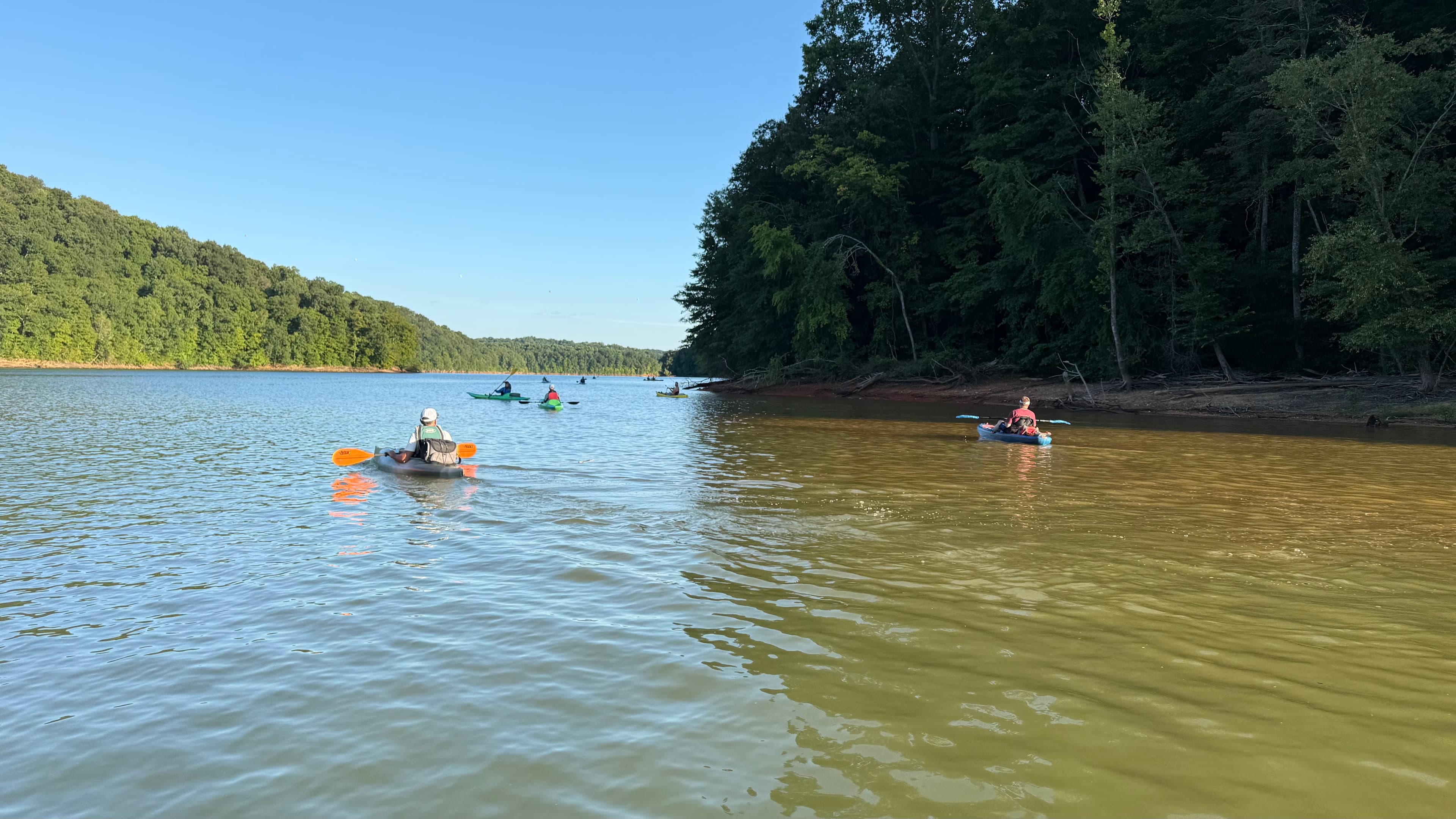
A little out and back from Norris Dam Marina to the second island. 4 miles round trip.
 +1
See exactly where the public can get on and off the river. Launch points and boat ramps are paired with PaddleWays' public land data so you know where you can legally land.
Public shoreline
8%of the river's shoreline is public
Most of the riverbank is private. Launch, land and camp only at public access points.
Flows, weather and a route-by-route verdict, so you know which stretch of the Cove Creek is worth paddling today.
No forecast data available.
Live flows, marked hazards and fresh trip reports from paddlers who were just on the water, all in one place.





Every user gets free access to launch points, boat ramps, and public property parcels.
Loading popular cities...
PaddleWays gives you everything you need to plan smarter, paddle better, and own every trip from first launch to takeout.