Curated by PaddleWays

Big Ridge Boat Ramp to Blue Mud Access

1.6 mi lake route on Norris Lake in Tennessee

  • Lake

Map of the Big Ridge Boat Ramp to Blue Mud Access route, from Big Ridge Boat Ramp
  • Route
  • Put-in & take-out

Conditions right now

How Big Ridge Boat Ramp to Blue Mud Access is running today

Route facts

Big Ridge Boat Ramp to Blue Mud Access at a glance

Distance
1.6 mi
Paddle time
~0.5 hrs
Type
Lake

About this route

Paddling this route

A 1.6-mile lake route on Norris Lake in Union County, Tennessee.

Put-in & take-out

Hazards

Hazards on this route

No hazards are marked on this route yet. That is not the same as none being there: if you find one, report it for the next paddler.

From the community

Trip reports on this route

Real trips from PaddleWays paddlers who ran this route: how the water was, and what to watch for.

Loading trip reports

  • Mitchell N.

    SUP •

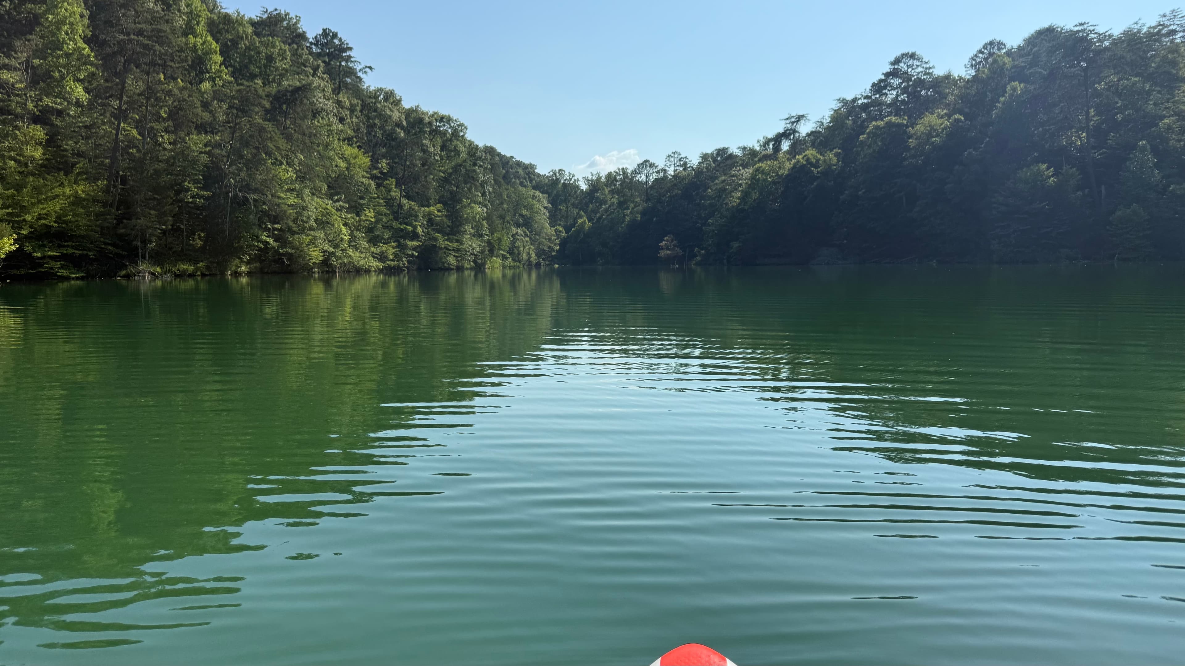
    Just a short out and back around the Big Ridge area of Norris Lake. There is some boat traffic, but most don’t fly through here. The woods are grown up to the bank and it’s a relaxing little paddle. We enjoy hanging out in the mini-coves for a swim. There is a lot of shade from the trees (depending on the time of day).
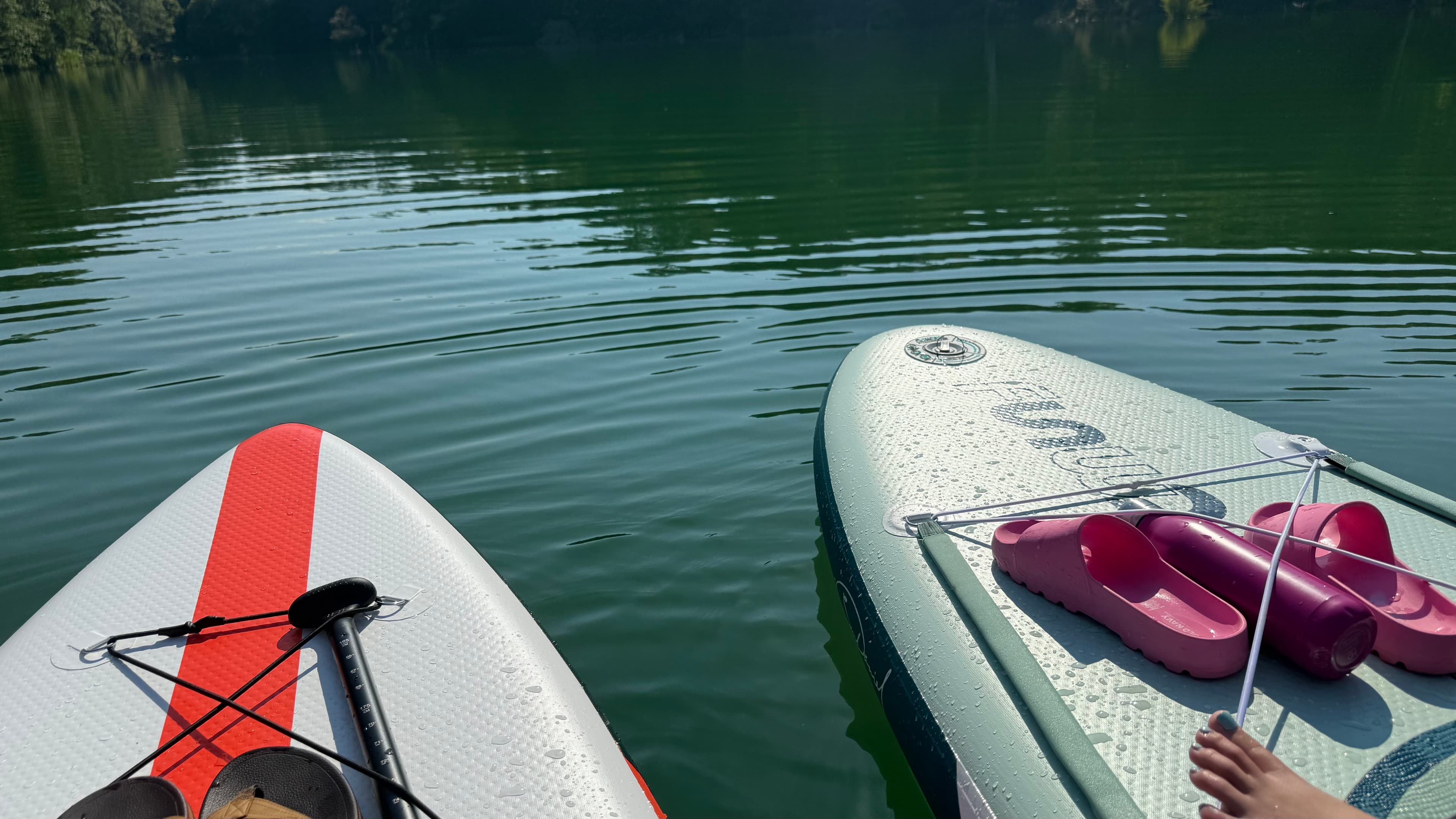
    • Photo 1 from Mitchell N.'s trip
    • Photo 2 from Mitchell N.'s trip
    Mentions: boat traffic

Weather & wind (10 day forecast)

The gauges near this route and the forecast where it starts, so you can pick your day.

No forecast data available.

Same water

More routes on Norris Lake

The other curated routes on Norris Lake, each with how it is running now.

Curated by PaddleWays

RouteFlatwater

Distance
7.9 mi
Paddle time
~3 hrs
Put-in → take-out
Anderson County Park Boat Ramp → Norris Dam Marina, Inc. Access
Curated by PaddleWays

RouteFlatwater

Distance
16.3 mi
Paddle time
~6.5 hrs
Put-in & take-out
Triple Bar J Marina Access

Close by

Routes near this one

Curated routes on other waters within an hour or so, nearest first.

Curated by PaddleWays

RouteFlatwater

Distance
2 mi
Paddle time
~0.5 hrs
Put-in → take-out
Norris Dam Marina, Inc. Access → Cove Creek Boat Ramp
Curated by PaddleWays

RouteClass I–II

Distance
12.9 mi
Paddle time
~4.5 hrs
Best for
Kayak, canoe
Put-in → take-out
Songbird Access → Highway 61 Bridge Access
Curated by PaddleWays

RouteClass II

Distance
5.8 mi
Paddle time
~2 hrs
Best for
Kayak
Put-in → take-out
Powell Landing Boat Ramp → Roy Arthur Stormwater Park Access
Several strainers requiring careful maneuvering
Curated by PaddleWays

RouteFlatwater

Distance
14.7 mi
Paddle time
~5 hrs
Put-in → take-out
Clinton Boat Ramp → Edgemoore Boat Ramp
Curated by PaddleWays

RouteFlatwater

Distance
6.1 mi
Paddle time
~2 hrs
Put-in → take-out
Highway 92 Boat Ramp
Curated by PaddleWays

RouteFlatwater

Distance
27.7 mi
Paddle time
Multi-day
Best for
Kayak, canoe, SUP
Put-in → take-out
Edgemoore Boat Ramp → Gallaher Boat Ramp

Smarter Paddling Starts in the App.

PaddleWays gives you everything you need to plan smarter, paddle better, and own every trip from first launch to takeout.
