Abrams Creek
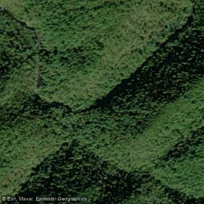
Abrams Creek
- Boat Ramps
- 0
- Access Points
- 6
- Campsites
- 17
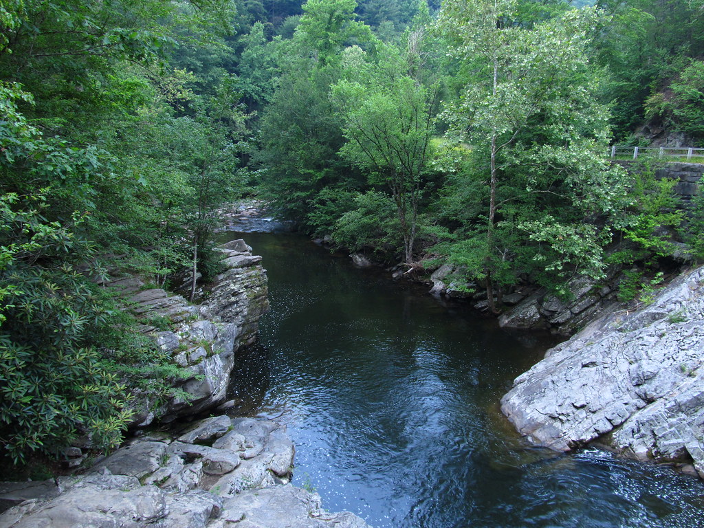
Abrams Creek is a scenic waterway flowing through the heart of Great Smoky Mountains National Park in eastern Tennessee. Originating high in the Smokies near Cades Cove, the creek tumbles roughly 20 miles northwest before emptying into Chilhowee Lake, a reservoir on the Little Tennessee River. The creek offers paddlers a range of experiences, from challenging whitewater in its upper reaches to more leisurely floating in its lower sections.
The Upper Abrams Creek, accessed via the Abrams Falls Trailhead, features Class IV-V rapids including the notable Abrams Falls. This 5-6 mile stretch demands advanced whitewater skills and is best run at medium flows. The central Falls Region, spanning about 5 miles from Little Bottoms Trail to the junction of Hannah Mountain and Hatcher Mountain trails, offers Class III-IV paddling. This section is prized for its exceptional trout fishing and scenic beauty. The Lower Abrams Creek, also known as the Little Gorge Section, provides a more moderate Class II-III experience over approximately 10 miles from Abrams Creek Campground to Chilhowee Lake.
Spring and fall typically offer the best paddling conditions, with reliable water levels and comfortable temperatures. Summer can bring low water, while winter paddling requires cold water gear and caution. The creek's ecosystem supports a diverse array of wildlife, including otters, trout, and various bird species. The surrounding old-growth forest showcases the rich biodiversity of the Smokies.
Key landmarks include Abrams Falls, a 20-foot cascade, and the historic Cades Cove area near the creek's headwaters. Primary access points are found at Abrams Falls Trailhead, Little Bottoms Trail, and Abrams Creek Campground, all within an hour's drive of Townsend or Maryville, Tennessee.
Abrams Creek holds cultural significance as part of the ancestral lands of the Cherokee people and played a role in early European settlement of the area. Today, it's a vital feature of Great Smoky Mountains National Park, subject to park regulations including required permits for overnight trips.
For experienced paddlers, a multi-day trip from Cades Cove to Chilhowee Lake covers the creek's full range, though most opt for day trips on individual sections. Paddlers should be aware of potential hazards like strainers and fluctuating water levels, especially in the more remote upper sections.
Water access, boat ramps & amenities
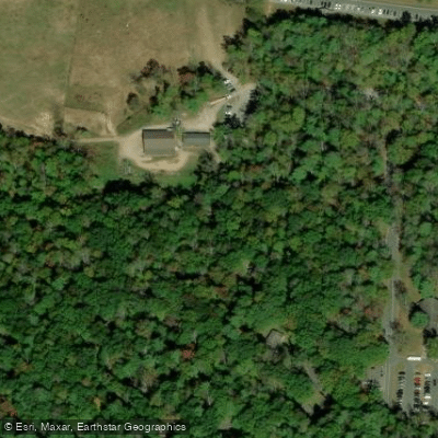
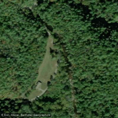
Learn how to get on Abrams Creek. Uncover great paddling access points, boat ramps, and all the facilities you need for an unforgettable day on the water. Some locations shown may border or include private property. Always check property boundaries and applicable regulations before visiting. PaddleWays's Public & Private Land layer can help you plan your access with confidence.
Paddle smarter with real-time insights
Whether you're en route and conditions shift or you're looking for the best spot based on current flows, we enable you to make informed decisions on the fly.








Find Places to Paddle

Over 400,000 Places to Paddle
Every user gets free access to launch points, boat ramps, and public property parcels.


Water and weather conditions (10 day forecast)
See the best times to paddle Abrams Creek and check the forecast before you go.
No forecast data available.
Paddling near Abrams Creek

Tennessee River
Little River

French Broad River
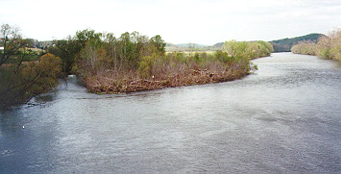
Holston River

Little Tennessee River
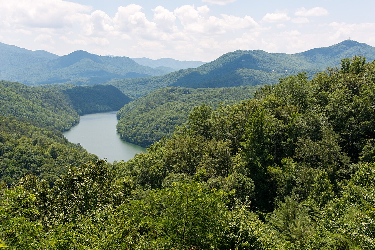
Tuckasegee River
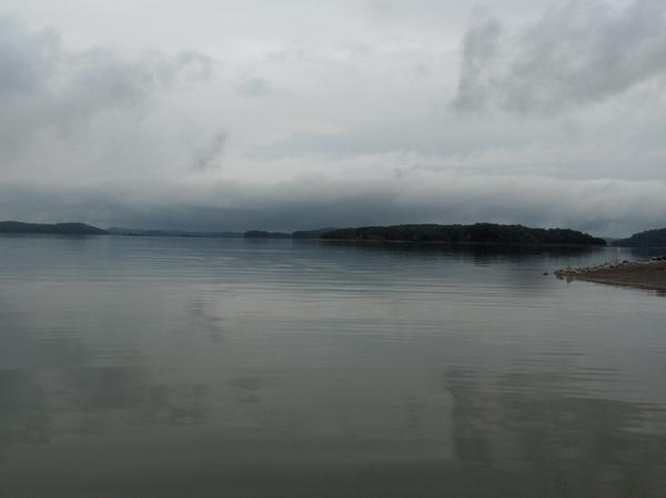
Douglas Lake
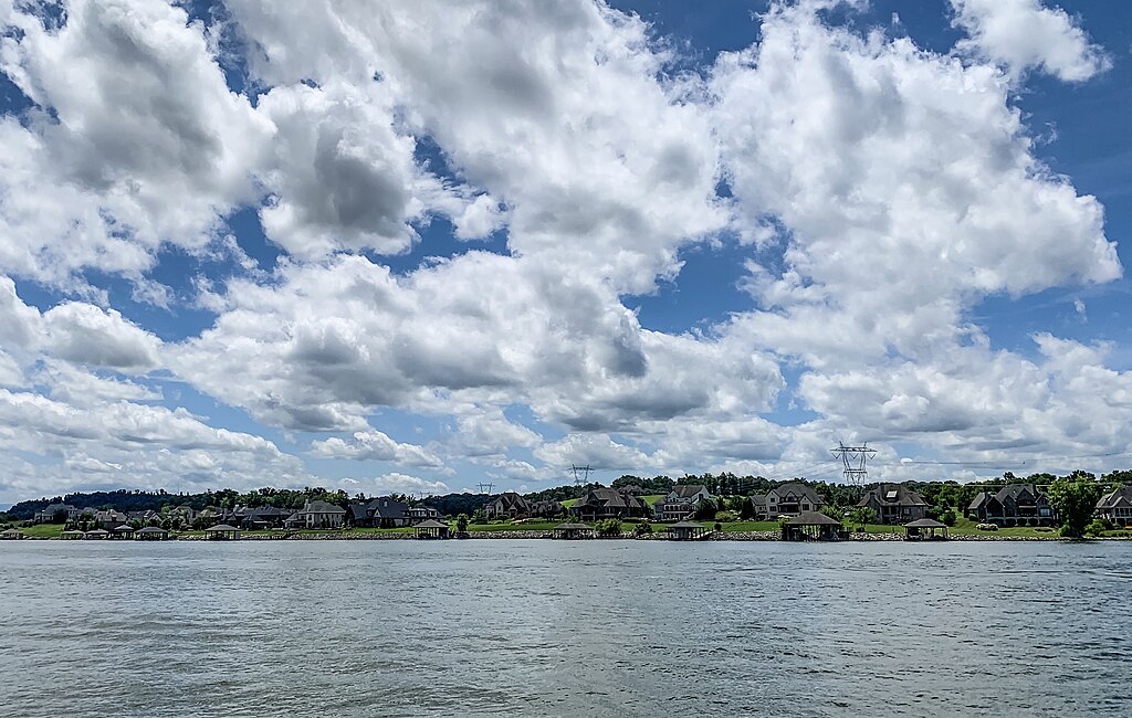
Fort Loudoun Lake
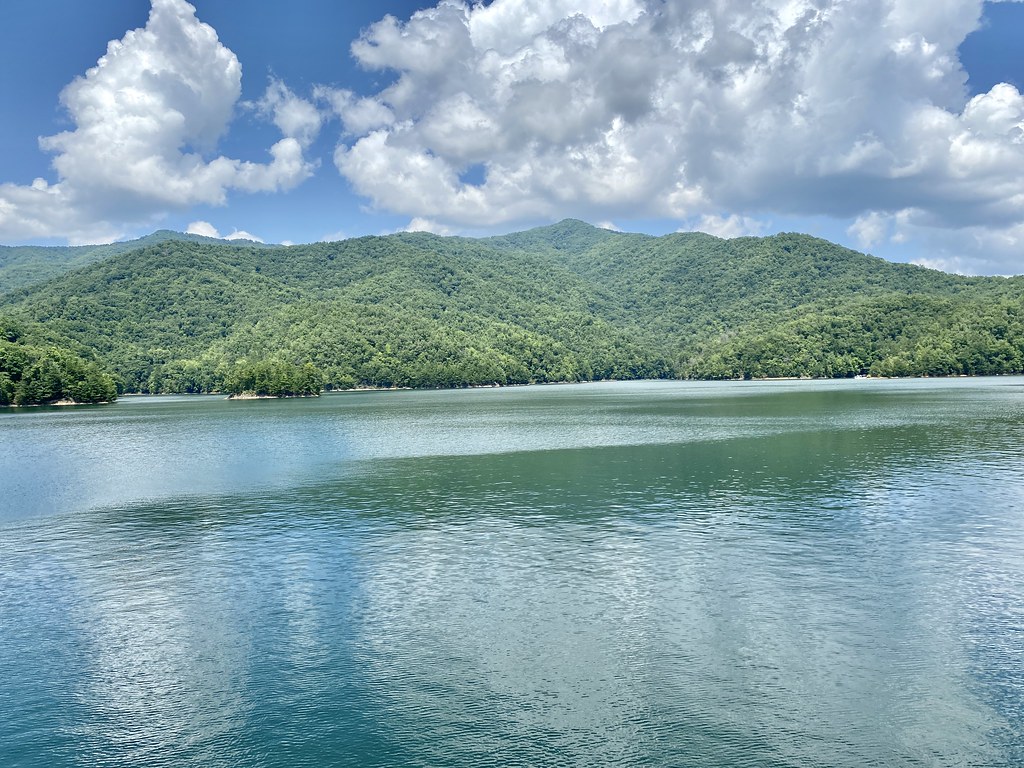
Fontana Lake
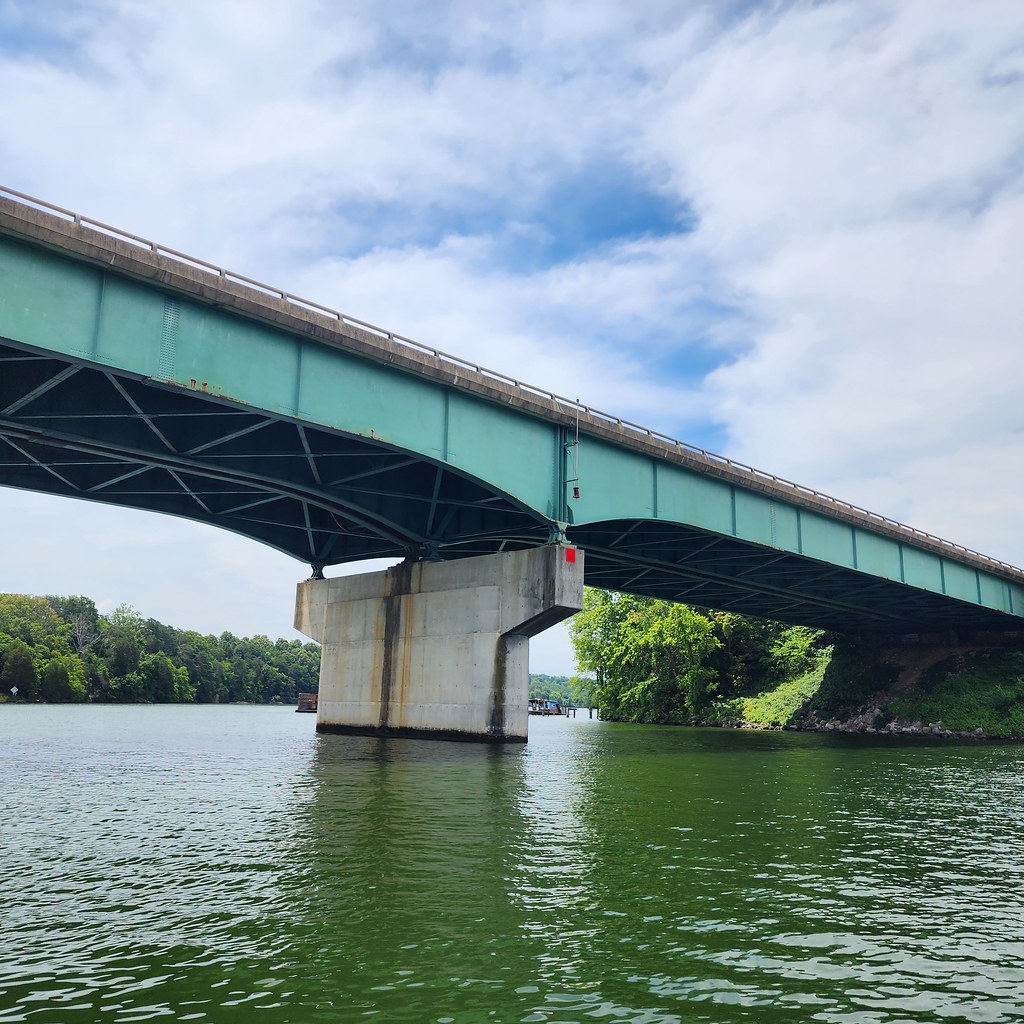
Tellico Lake
Explore Tennessee waters
Top paddling waters
Popular Cities
Loading popular cities...
Explore near Abrams Creek
Access points
Nearby waters
More in Tennessee

Smarter Paddling Starts in the App.
Paddleways gives you everything you need to plan smarter, paddle better, and own every trip from first launch to takeout.