Browns Creek Lake
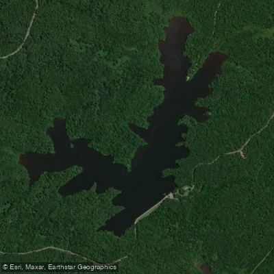
Browns Creek Lake
- Boat Ramps
- 1
- Access Points
- 1
- Campsites
- 3
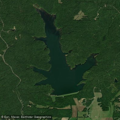
Browns Creek Lake is a 167-acre impoundment located in Henderson County, Tennessee, within Natchez Trace State Park, approximately 10 miles south of I-40. Access is via Exit 116, following State Road 114 south to Browns Creek Lake Road.
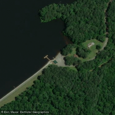
The lake features a boat launching ramp and offers jon boat rentals for those without their own watercraft. Outboard motors are permitted on the lake. Basic amenities include restrooms, picnic areas, and fishing piers. A lake permit fee is required for use.
The lake is managed by the Tennessee Wildlife Resources Agency (TWRA) and is stocked with Florida strain largemouth bass, with documented specimens reaching the 10-pound class. Other fish species include crappie, bluegill, redear sunfish, and blue and channel catfish. Fish attractors have been installed throughout the lake to enhance fishing opportunities.
The surrounding Natchez Trace State Park setting provides a natural backdrop for paddling. For planning purposes, contact the TWRA Region 1 Office (731-423-5725) for current permit requirements and regulations. The lake is located within a larger complex of public waters that includes Pin Oak Lake (690 acres) and Maple Creek Lake (90 acres), offering additional paddling opportunities in the immediate vicinity.
Day use facilities include picnic areas that can serve as rest stops during paddling outings. While the lake is relatively small, its location within the state park system means well-maintained facilities and regulated access. The lake's modest size makes it manageable for half-day or full-day paddling excursions.
Water access, boat ramps & amenities
Learn how to get on Browns Creek Lake. Uncover great paddling access points, boat ramps, and all the facilities you need for an unforgettable day on the water. Some locations shown may border or include private property. Always check property boundaries and applicable regulations before visiting. PaddleWays's Public & Private Land layer can help you plan your access with confidence.
Paddle smarter with real-time insights
Whether you're en route and conditions shift or you're looking for the best spot based on current flows, we enable you to make informed decisions on the fly.








Find Places to Paddle

Over 400,000 Places to Paddle
Every user gets free access to launch points, boat ramps, and public property parcels.


Water and weather conditions (10 day forecast)
See the best times to paddle Browns Creek Lake and check the forecast before you go.
No forecast data available.
Paddling near Browns Creek Lake
Kentucky Lake

Tennessee River

Mississippi River
Hatchie River
South Fork Forked Deer River
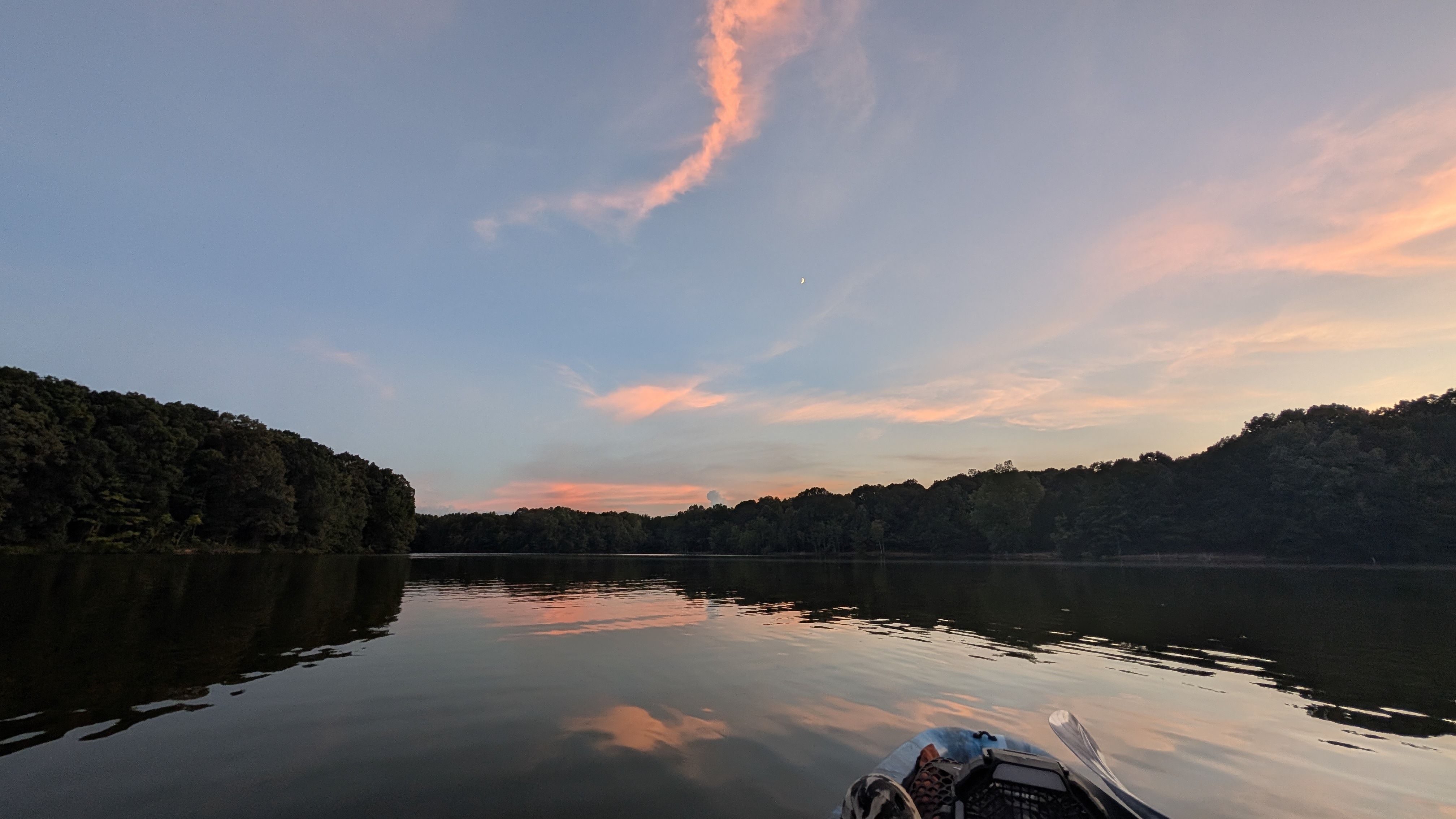
Humboldt Lake
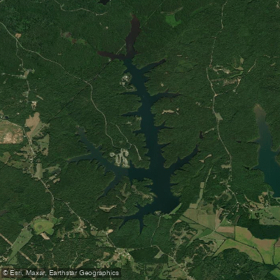
Pinoak Lake
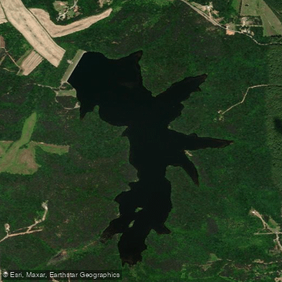
Sycamore Lake
Dogwood Lake
Explore Tennessee waters
Top paddling waters
Popular Cities
Loading popular cities...
Explore near Browns Creek Lake
Access points
Nearby waters
More in Tennessee

Smarter Paddling Starts in the App.
Paddleways gives you everything you need to plan smarter, paddle better, and own every trip from first launch to takeout.