Kentucky Lake
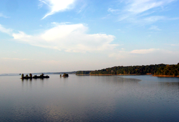
Kentucky Lake
- Boat Ramps
- 122
- Access Points
- 175
- Campsites
- 17
Kentucky Lake is a vast 184-mile long reservoir on the Tennessee River, connected to Lake Barkley by a canal at the northern end. The Land Between the Lakes National Recreation Area offers 300 miles of undeveloped shoreline to explore, with numerous bays, inlets, and bluffs. Paddlers can enjoy scenic views of forested hills, limestone cliffs, and abundant wildlife including bald eagles, ospreys, and herons.
Several designated water trails provide options for day trips or multi-day adventures. The Ginger Bay Water Trail features rocky shorelines with visible fossils. Fulton Bay offers excellent birdwatching opportunities. For a unique experience, paddlers can explore the Kuttawa Landing Rookery Water Trail at dusk to observe thousands of nesting wetland birds.
The lake is generally calm, making it suitable for beginners, though winds can create choppy conditions on the main channel. Paddlers should be aware of commercial barge traffic and recreational powerboats, especially during summer weekends. The water quality is generally good, though it can be muddy. Summer water temperatures are warm, often reaching the mid-80s Fahrenheit.
Numerous boat ramps and access points are available, including at state parks and campgrounds. Primitive camping is permitted along much of the shoreline. Kayak and canoe rentals are offered at various locations around the lake. A backcountry permit is required for overnight trips ($5 for 3 days or $18 annually).
The best times to paddle are spring and fall when temperatures are mild and boat traffic is reduced. Early mornings offer the calmest water and best wildlife viewing. Paddlers can link Kentucky Lake with Lake Barkley via the canal for extended trips, potentially circumnavigating the entire Land Between the Lakes area over multiple days.
Water access, boat ramps & amenities
Learn how to get on Kentucky Lake. Uncover great paddling access points, boat ramps, and all the facilities you need for an unforgettable day on the water. Some locations shown may border or include private property. Always check property boundaries and applicable regulations before visiting. PaddleWays's Public & Private Land layer can help you plan your access with confidence.
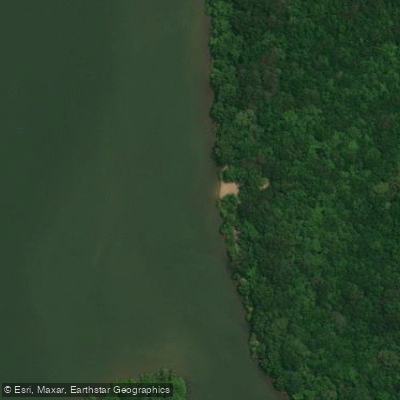
Cuba Landing Marina Access
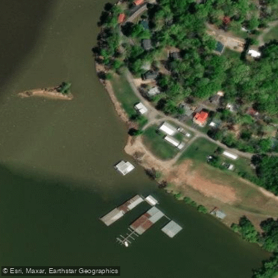
Lost Creek Dock Access
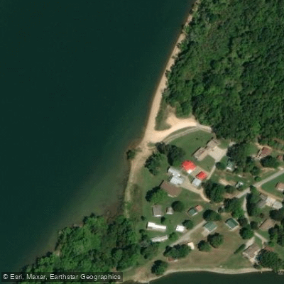
Toms Creek Dock Access
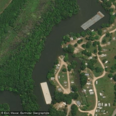
Deer Point Campground Access
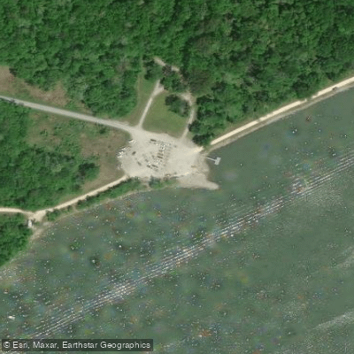
Camden Landing Access
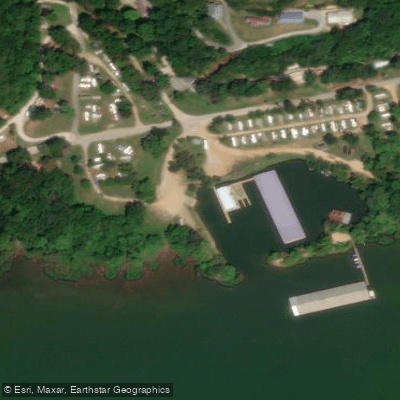
Mason's Dock Access
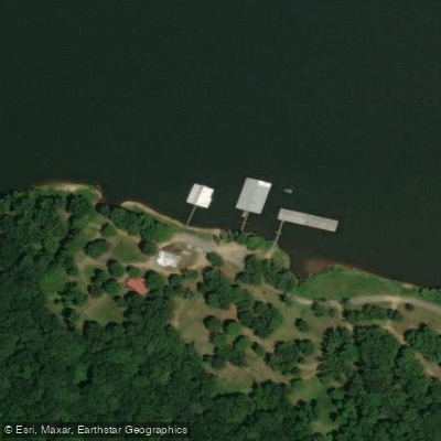
Cane Creek Dock Access
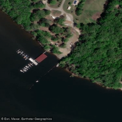
Mansard Island Resort Access
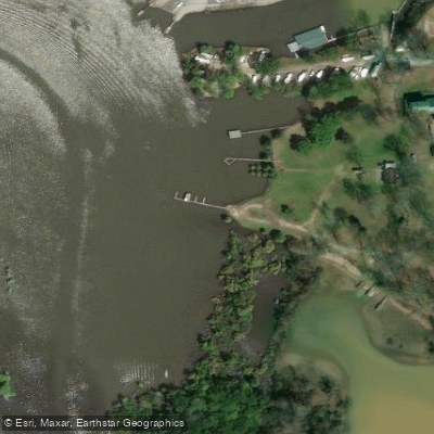
Anchor Inn Resort, Inc. Access
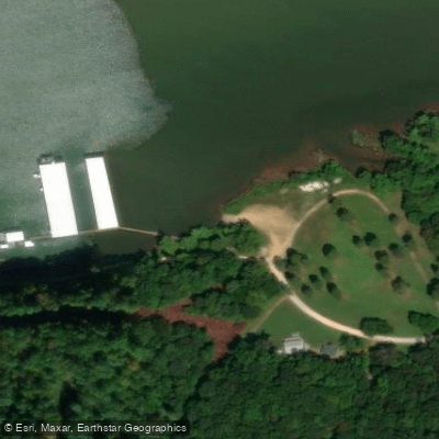
Turkey Creek Dock Access
Paddle smarter with real-time insights
Whether you're en route and conditions shift or you're looking for the best spot based on current flows, we enable you to make informed decisions on the fly.








Find Places to Paddle

Over 400,000 Places to Paddle
Every user gets free access to launch points, boat ramps, and public property parcels.


Water and weather conditions (10 day forecast)
See the best times to paddle Kentucky Lake and check the forecast before you go.
No forecast data available.
Paddling near Kentucky Lake
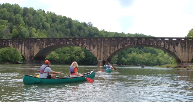
Cumberland River
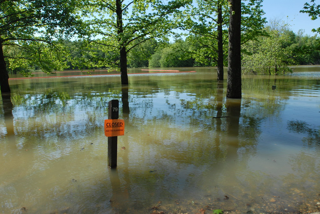
Lake Barkley
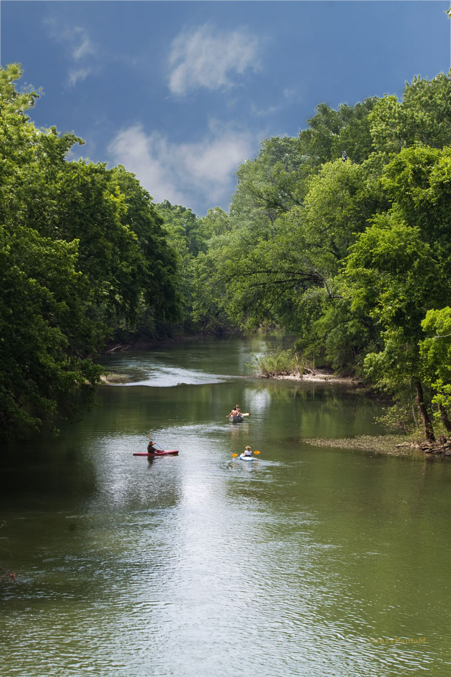
Harpeth River

Tennessee River
Little River
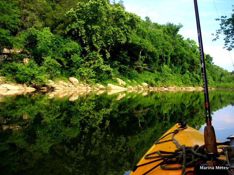
Duck River
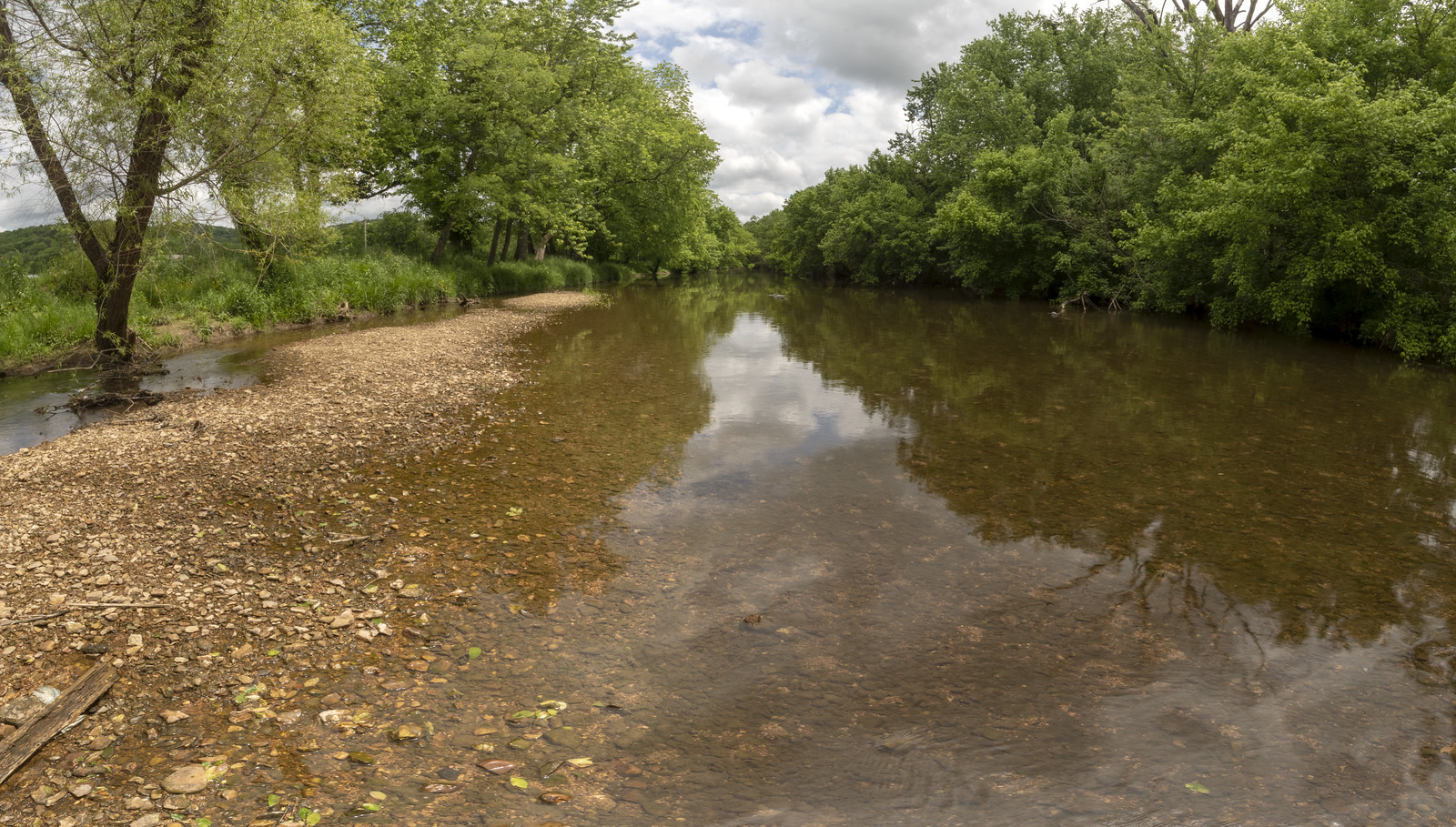
Stones River
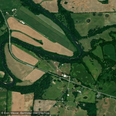
Red River
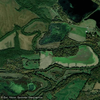
Tradewater River
Explore Kentucky waters
Top paddling waters
Popular Cities
Loading popular cities...
Explore near Kentucky Lake
Access points
Nearby waters
More in Kentucky

Smarter Paddling Starts in the App.
Paddleways gives you everything you need to plan smarter, paddle better, and own every trip from first launch to takeout.