South Fork Forked Deer River
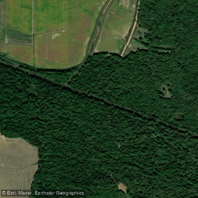
South Fork Forked Deer River
- Boat Ramps
- 2
- Access Points
- 2
- Campsites
- 0
The South Fork Forked Deer River originates in Chester County, Tennessee at the confluence of Huggins Creek and Tar Creek. It flows westward across the state, joining with the North Fork to form the main stem of the Forked Deer River before emptying into the Mississippi River. The river drains a significant portion of western Tennessee's agricultural lands.
Much of the South Fork and its tributaries have been heavily channelized, dramatically altering the natural character of the waterway. The lower sections near Jackson feature extremely steep, engineered banks that make access challenging. Despite these modifications, the river still offers paddling opportunities, particularly in its upper reaches and within the Chickasaw National Wildlife Refuge.
Paddlers can explore approximately 4.5 miles upstream into the wildlife refuge from the confluence with the Mississippi, but this is only possible when water levels are above 10 cubic feet per gauge (CuG). The lower sections are primarily flatwater due to channelization, but paddlers should be prepared for potential obstacles like fallen trees, beaver dams, and artificial blockages.
The river's difficulty is generally considered flatwater, but the altered nature of the channel demands caution and experience. Paddlers should be comfortable navigating channelized waterways and identifying potential hazards. The best seasons for paddling are typically spring and fall when water levels are more favorable.
The surrounding landscape is dominated by agricultural fields, but pockets of bottomland hardwood forests remain, particularly within the wildlife refuge. These areas provide habitat for various waterfowl, wading birds, and other wetland species.
Key access points include locations near Jackson and the entry to Chickasaw National Wildlife Refuge. However, the steep banks in many areas can make put-ins and take-outs challenging. Paddlers should scout access points carefully before attempting to launch or exit.
Historically, the South Fork Forked Deer River played a role in the agricultural development of western Tennessee. The extensive channelization efforts of the mid-20th century dramatically reshaped the river to control flooding and drain wetlands for farming. While these changes have impacted the river's ecology, they also represent an important chapter in the region's agricultural history.
Safety considerations are paramount when paddling the South Fork. The channelized sections can create deceptively strong currents, and man-made structures may pose unexpected hazards. Paddlers should always wear life jackets, be aware of weather forecasts, and have a plan for potential emergencies given the limited access points along much of the river's course.
Water access, boat ramps & amenities
Learn how to get on South Fork Forked Deer River. Uncover great paddling access points, boat ramps, and all the facilities you need for an unforgettable day on the water. Some locations shown may border or include private property. Always check property boundaries and applicable regulations before visiting. PaddleWays's Public & Private Land layer can help you plan your access with confidence.
Paddle smarter with real-time insights
Whether you're en route and conditions shift or you're looking for the best spot based on current flows, we enable you to make informed decisions on the fly.








Find Places to Paddle

Over 400,000 Places to Paddle
Every user gets free access to launch points, boat ramps, and public property parcels.


Water and weather conditions (10 day forecast)
See the best times to paddle South Fork Forked Deer River and check the forecast before you go.
SOUTH FORK FORKED DEER RIVER NEAR OWL CITY, TN
Paddling near South Fork Forked Deer River
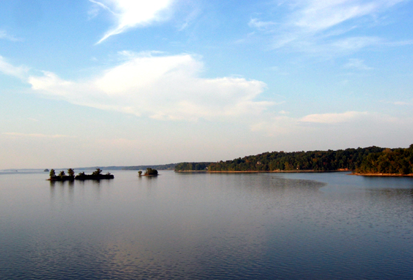
Kentucky Lake

Tennessee River

Mississippi River
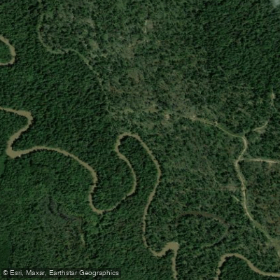
Hatchie River
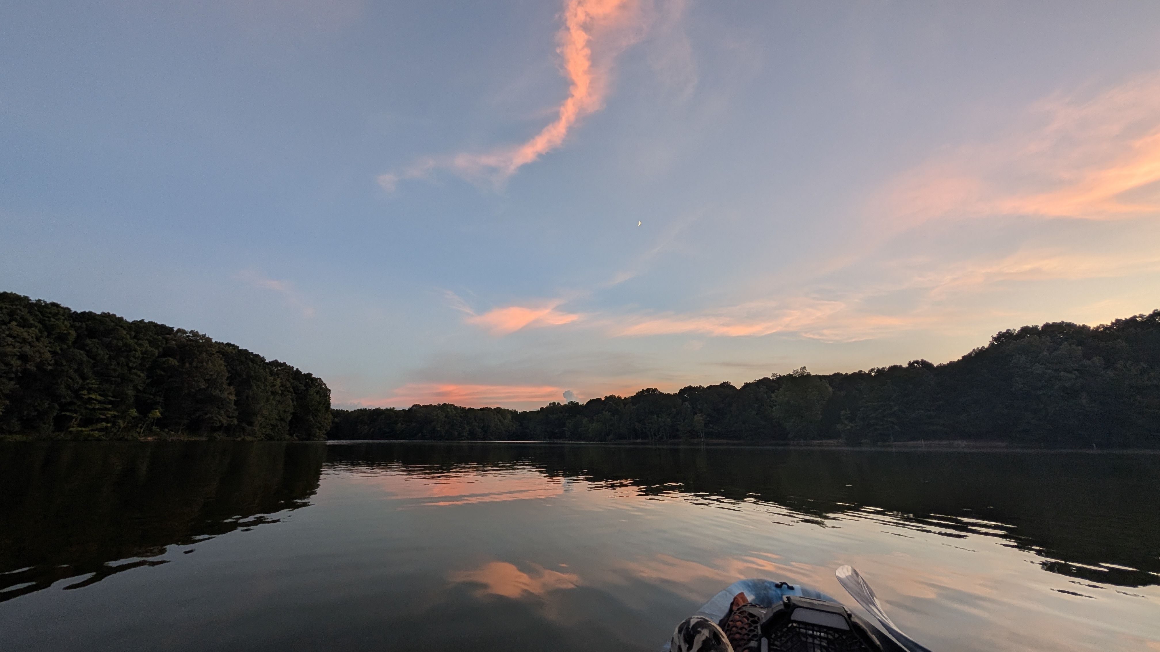
Humboldt Lake
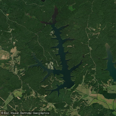
Pinoak Lake
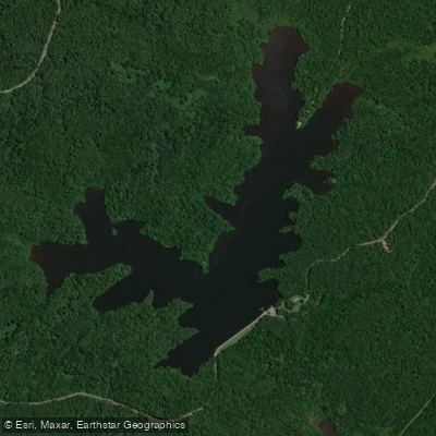
Browns Creek Lake
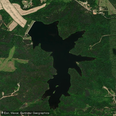
Sycamore Lake
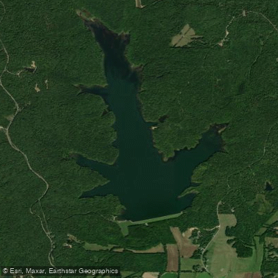
Dogwood Lake
Explore Tennessee waters
Top paddling waters
Popular Cities
Loading popular cities...
Explore near South Fork Forked Deer River

Smarter Paddling Starts in the App.
Paddleways gives you everything you need to plan smarter, paddle better, and own every trip from first launch to takeout.