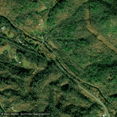
Curated by PaddleWays
RouteClass III–IV
- Distance
- 6.1 mi
- Paddle time
- ~1.5 hrs
- Best for
- Experienced paddlers
- Put-in → take-out
- Bear Cage Road Access → Route 19E Access
Scout unfamiliar rapids at higher water
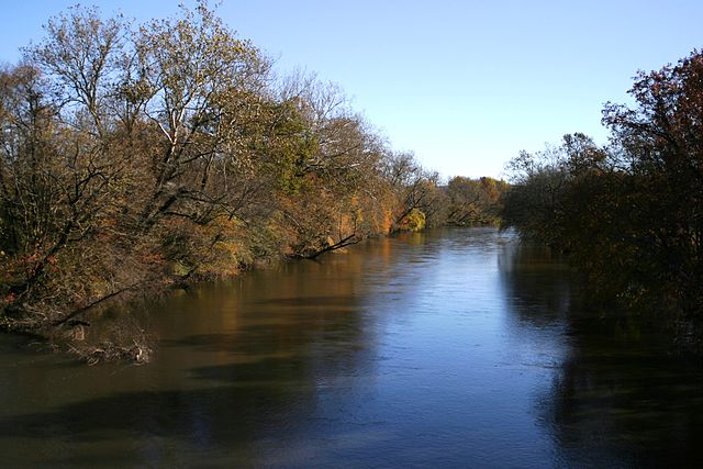
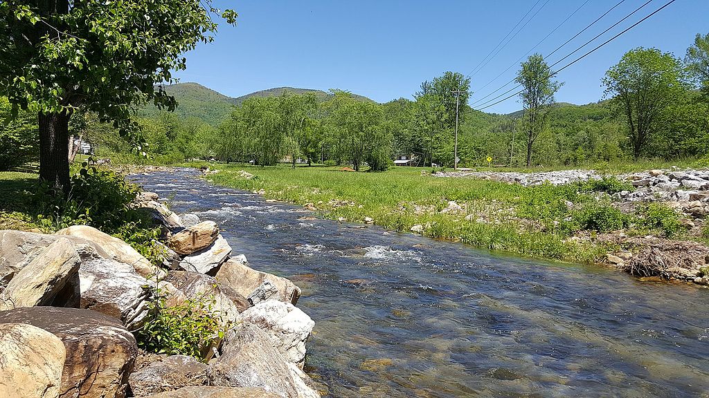
The Doe River is a picturesque waterway that flows through northeastern Tennessee, originating in the Roan Mountain area near the North Carolina border and winding westward for approximately 25 miles before joining the Watauga River in Elizabethton. This river system drains a significant portion of Carter County, carving through the Appalachian Mountains and creating a diverse landscape of gorges, valleys, and forested hillsides.
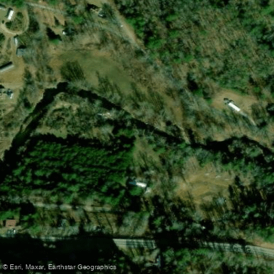
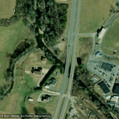
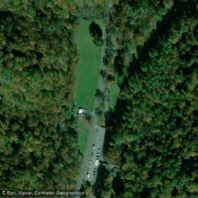
Paddlers on the Doe River can experience a range of whitewater conditions, from gentle Class II rapids to more challenging Class III-IV sections. The river is typically divided into three main paddling segments: the Upper Doe (Crabtree to Blevins Bridge), the Doe River Gorge, and the Lower Doe. The Upper Doe offers a 4.6-mile stretch of Class II-III rapids, perfect for intermediate paddlers. The Doe River Gorge section, spanning 5.7 miles from Blevins Bridge to Highway 19E, presents a more intense Class III-IV experience with continuous whitewater and scenic canyon views. The Lower Doe, flowing through Elizabethton, provides a milder Class II-III run with historical landmarks.
Water levels are generally most favorable for paddling in spring and after summer rainfall events. The river's flow is influenced by mountain weather patterns, with snowmelt contributing to higher water levels in early spring.
The Doe River corridor supports a rich ecosystem, home to diverse Appalachian flora and fauna. Paddlers may spot various fish species, including trout, as well as riparian wildlife such as herons and river otters.
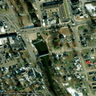
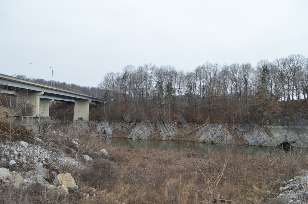
Key landmarks along the river include the historic covered bridge in Elizabethton, built in 1882, which spans 134 feet across the Doe. Just downstream, paddlers encounter a weir dam and two 1928 concrete arch bridges, adding both scenic and navigational interest to the Lower Doe section.
Access points are well-established, with popular put-ins and take-outs at Crabtree Road, Blevins Bridge, Highway 19E bridge near Hampton High School, and Covered Bridge Park in Elizabethton. Local paddling groups like the Appalachian Paddling Enthusiasts (APEs) actively maintain these access points and organize river cleanups.
The Doe River holds significant historical and cultural value, having played a role in the early settlement and industrial development of the region. Today, it serves as a vital recreational resource, offering opportunities for fishing, kayaking, and scenic enjoyment.
Safety considerations include proper assessment of water levels, as the river can become technical at higher flows, particularly in the gorge section. Paddlers should be aware of the weir dam in Elizabethton and practice appropriate safety measures. While primarily known for day trips, the Doe River's connection to the Watauga River system offers potential for extended paddling adventures for those seeking a multi-day experience in the beautiful Tennessee mountains.
Curated routes
Hand-picked by the PaddleWays team, with put-ins, take-outs, paddle times and the hazards along the way.
RouteClass III–IV
RouteClass II–III
RouteClass II–III
Hazards
Reported by paddlers. Hazards change with flows and storms, so check them before you launch.
Dam
No details were given with this report.
From the community
Nobody has shared a trip on Doe River yet. Paddle it, then tell the next paddler how it went.
See exactly where the public can get on and off the river. Launch points and boat ramps are paired with PaddleWays' public land data so you know where you can legally land.
Public shoreline
16%of the river's shoreline is public
Most of the riverbank is private. Launch, land and camp only at public access points.
Flows, weather and a route-by-route verdict, so you know which stretch of the Doe River is worth paddling today.
Live flows, marked hazards and fresh trip reports from paddlers who were just on the water, all in one place.





Every user gets free access to launch points, boat ramps, and public property parcels.
Loading popular cities...
PaddleWays gives you everything you need to plan smarter, paddle better, and own every trip from first launch to takeout.