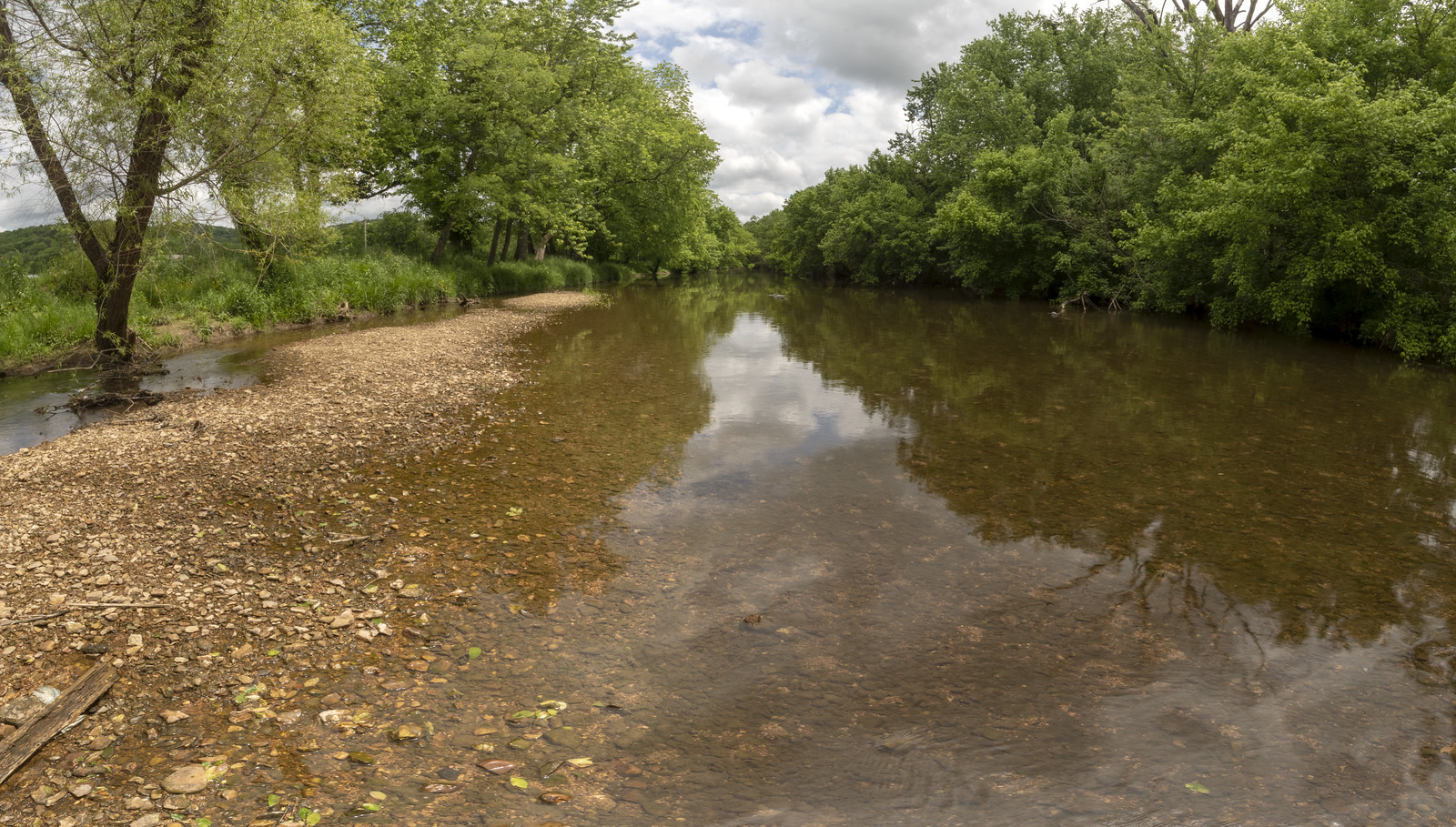
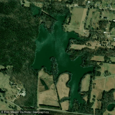
The Stones River is a significant waterway in central Tennessee, formed by the confluence of its three major forks - the West, Middle, and East Forks. The West Fork, the longest at 39.1 miles, originates in southern Rutherford County. The river system flows generally northward, eventually emptying into the Cumberland River just east of Nashville.
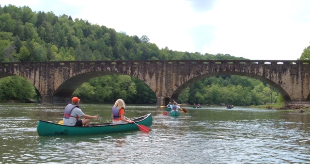
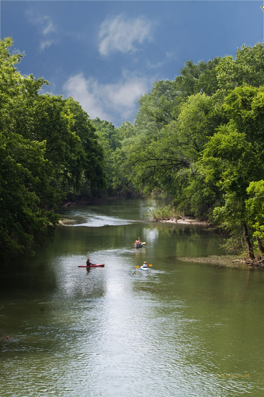
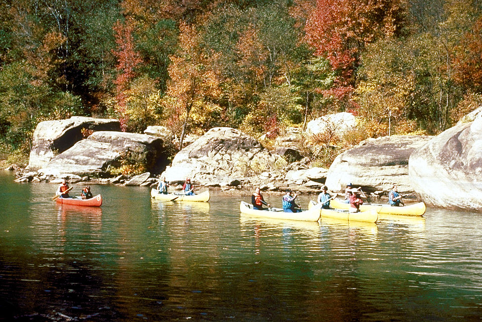
Paddling opportunities abound on the Stones River, with sections suitable for various skill levels. The West Fork offers popular routes like Thompson Lane to Jefferson Springs (16 miles) and Thompson Lane to Nice Mill Dam (5 miles), featuring mostly Class I rapids with occasional Class II sections. The East Fork provides a faster-paced 6-mile run with frequent Class I-II rapids. Below Percy Priest Dam, flatwater paddling is available down to the Cumberland River confluence. The overall difficulty ranges from flatwater to Class III, with most sections suitable for beginners to intermediate paddlers. However, the Barfield Crescent Road to Nice Mill Dam stretch offers more challenging Class III whitewater for experienced kayakers.
Spring and early summer typically provide the best water levels for paddling, though some sections are runnable year-round. The river corridor supports diverse flora and fauna, including smallmouth bass, a popular target for anglers. Key landmarks include Nice Mill Dam, a significant portage point on several routes, and the historic Stones River National Battlefield near Murfreesboro, where paddlers can observe remnants of the Civil War battle site from the water.
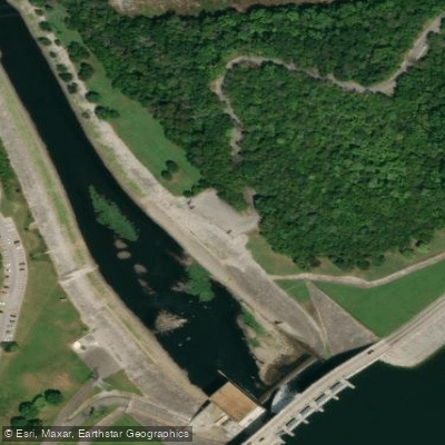
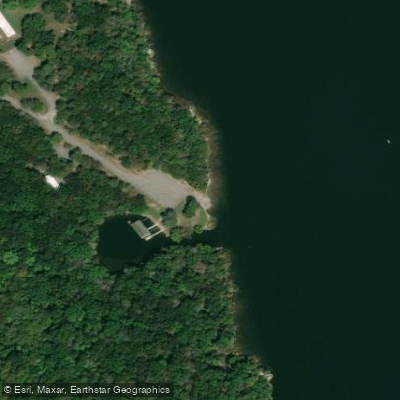
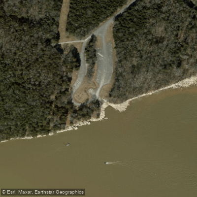
Primary access points include Thompson Lane and Searcy Street in Murfreesboro, Nice Mill Dam, Percy Priest Dam, and Heartland Park near Nashville. These provide convenient put-in and take-out locations for various trip lengths.
The Stones River holds historical significance, particularly for its role in the Civil War. The Battle of Stones River in 1862-1863 was a crucial Union victory, and paddlers can experience this history firsthand on certain sections.
Safety considerations include being aware of water levels, especially after heavy rains, and exercising caution around Nice Mill Dam and other obstacles. Paddlers should also be mindful of fishing lines, as the river is popular among anglers. While most trips are suitable for day outings, the variety of access points allows for potential multi-day adventures, particularly when combining different forks and sections of the river.
The Stones River offers a blend of scenic beauty, historical interest, and varied paddling experiences, making it a valuable recreational resource for central Tennessee.